


Secondary sourceArtifactc. 1450-1459
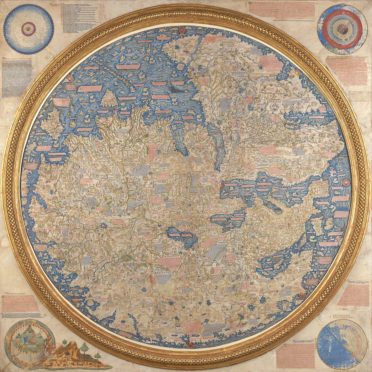
Fra Mauro map
Fra Mauro · c. 1450-1459
A mid-15th-century Venetian world map that still records the lands of Mali, showing lasting European knowledge of the kingdom Musa's pilgrimage had publicized.
This later map still names Mali's territory, evidence of how Musa's pilgrimage had made the kingdom known in Europe.
About this source
What it is
Made around 1450 by the Venetian monk and cartographer Fra Mauro, this circular world map is drawn on parchment and set in a large wooden frame. It covers Asia, the Indian Ocean, Africa, Europe and the Atlantic, and was made for the rulers of Venice and Portugal. It is usually displayed in the Biblioteca Nazionale Marciana in Venice.
Why it matters
The map is one of the most detailed and accurate world maps produced before the age of European oceanic exploration. Its continued naming of Mali's territory, decades after Mansa Musa's reign, shows how his famous pilgrimage had left a lasting mark on European geographic knowledge of West Africa.
Look closer
- Why might Mali still appear on a European map made over a century after Musa's reign?
- What choices did Fra Mauro make about what to include and leave out, and why?
- How might a mapmaker working far from West Africa have gotten his information?
This artifact is part of the curated material that grounds the AI version of Mansa Musa, Marco Polo and Sunni Ali on Humy.ai — when students ask about related events, the AI can quote it and cite it.
More Mansa Musa sources
Meet the AI Mansa Musa →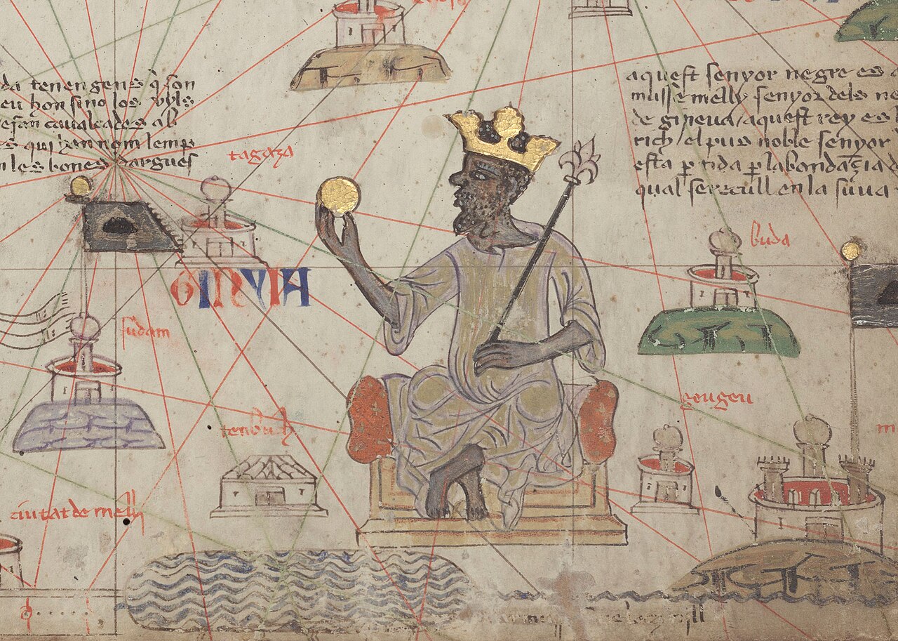 Painting
Secondary source
Catalan Atlas: Mansa Musa Enthroned
Abraham Cresques (attributed) · 1375
 Book
Secondary source
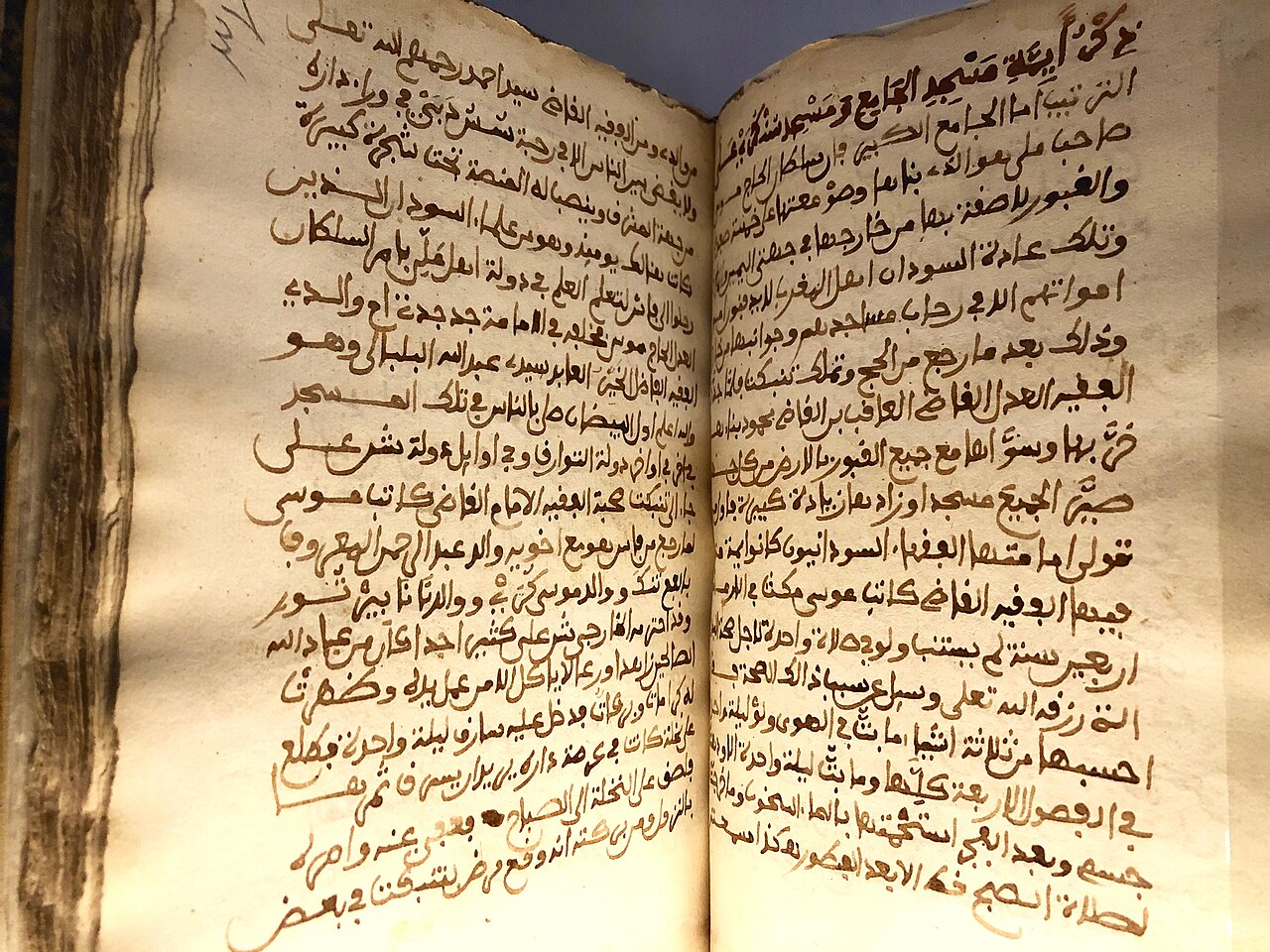
Tarikh al-Sudan
Abderrahmane Es Saâdi · c. 1655
 Artifact
Secondary source
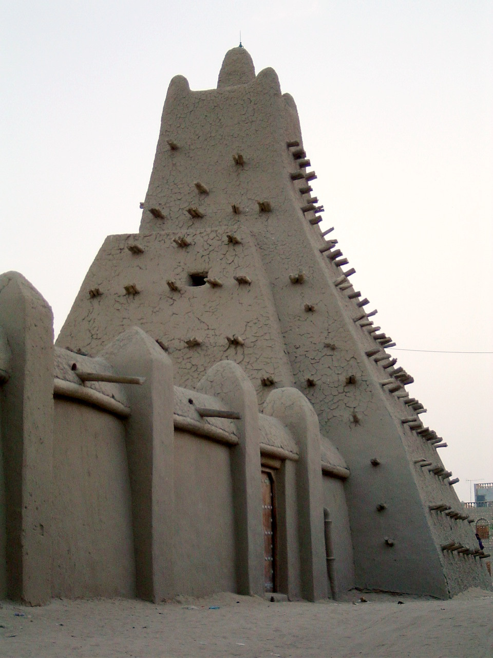
Sankoré Madrasa
14th-15th century
 Painting
Primary source
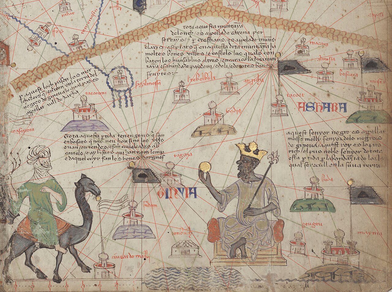
Catalan Atlas, Sheet 6: Western Sahara
Abraham Cresques · 1375
 Artifact
Secondary source
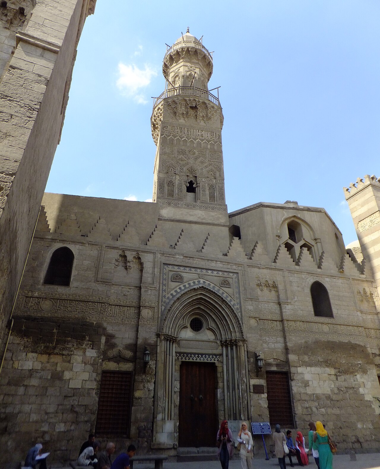
Madrasa of Al-Nasir Muhammad
1303
Ready when you are
Start chatting with Mansa Musa now.
20 messages free · No credit card · Available in 50+ languages.