


Primary sourcePainting1375
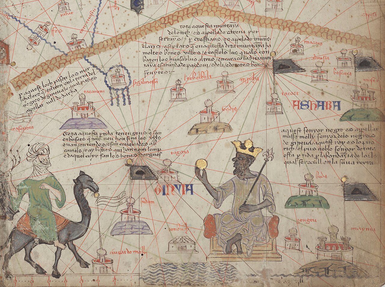
Catalan Atlas, Sheet 6: Western Sahara
Abraham Cresques · 1375
A section of the 1375 Catalan Atlas showing Saharan caravan routes and walled cities around the image of Mansa Musa enthroned.
This map shows the trans-Saharan trade routes that carried Musa's fame as a gold-rich ruler into Europe.
About this source
What it is
This is the lower portion of sheet six of the Catalan Atlas, a medieval map attributed to Abraham Cresques. It shows the Atlas Mountains, the River Niger, walled cities, and trans-Saharan caravan routes, with Mansa Musa shown seated on a throne holding a gold coin.
Why it matters
The map shows how European mapmakers understood the geography and trade networks of West Africa in the 14th century. The gold-trade routes drawn around Musa's image explain why his fame as a wealthy ruler had spread to Europe, making him a landmark figure on this famous map.
Look closer
- Why would a European mapmaker place an image of an African ruler on a map meant to guide trade and travel?
- What do the caravan routes and walled cities tell you about how goods and information moved across the Sahara?
- What is missing from this map that a modern map of the region would include?
This painting is part of the curated material that grounds the AI version of Mansa Musa on Humy.ai — when students ask about related events, the AI can quote it and cite it.
More Mansa Musa sources
Meet the AI Mansa Musa →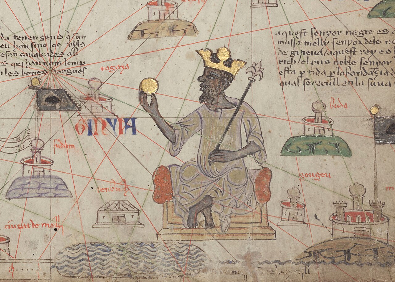 Painting
Secondary source
Catalan Atlas: Mansa Musa Enthroned
Abraham Cresques (attributed) · 1375
 Book
Secondary source
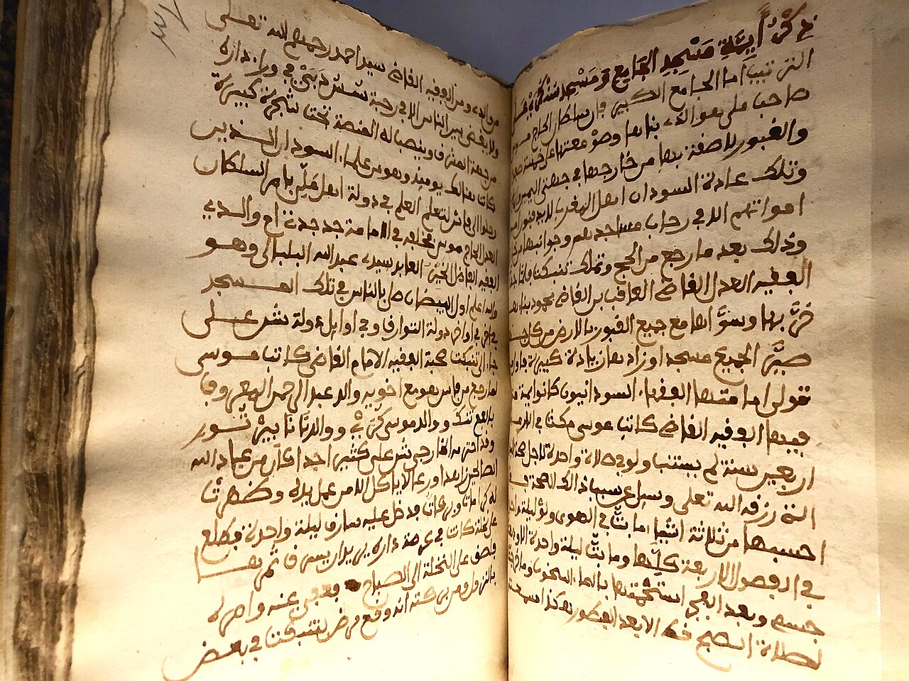
Tarikh al-Sudan
Abderrahmane Es Saâdi · c. 1655
 Artifact
Secondary source
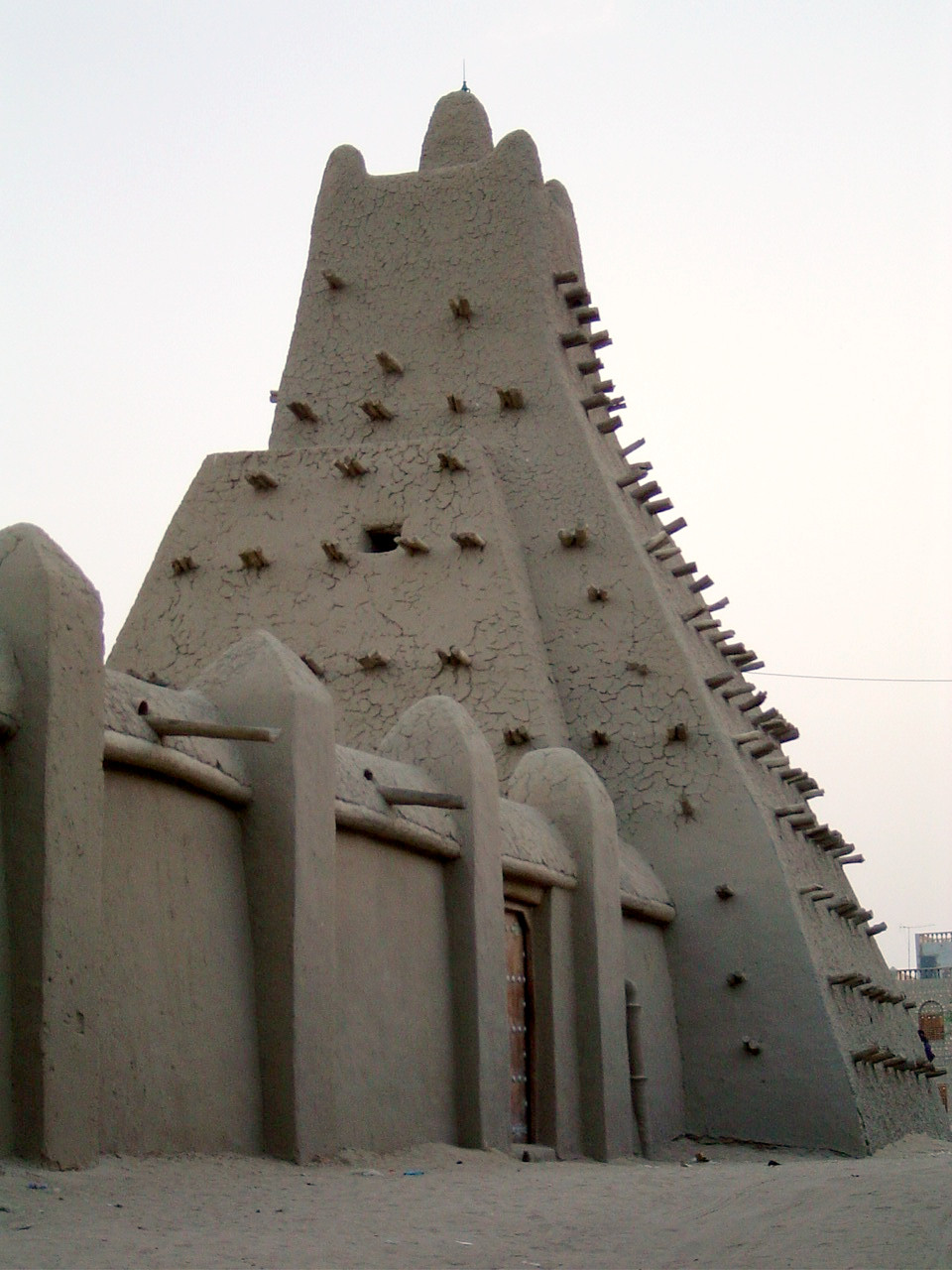
Sankoré Madrasa
14th-15th century
 Artifact
Secondary source
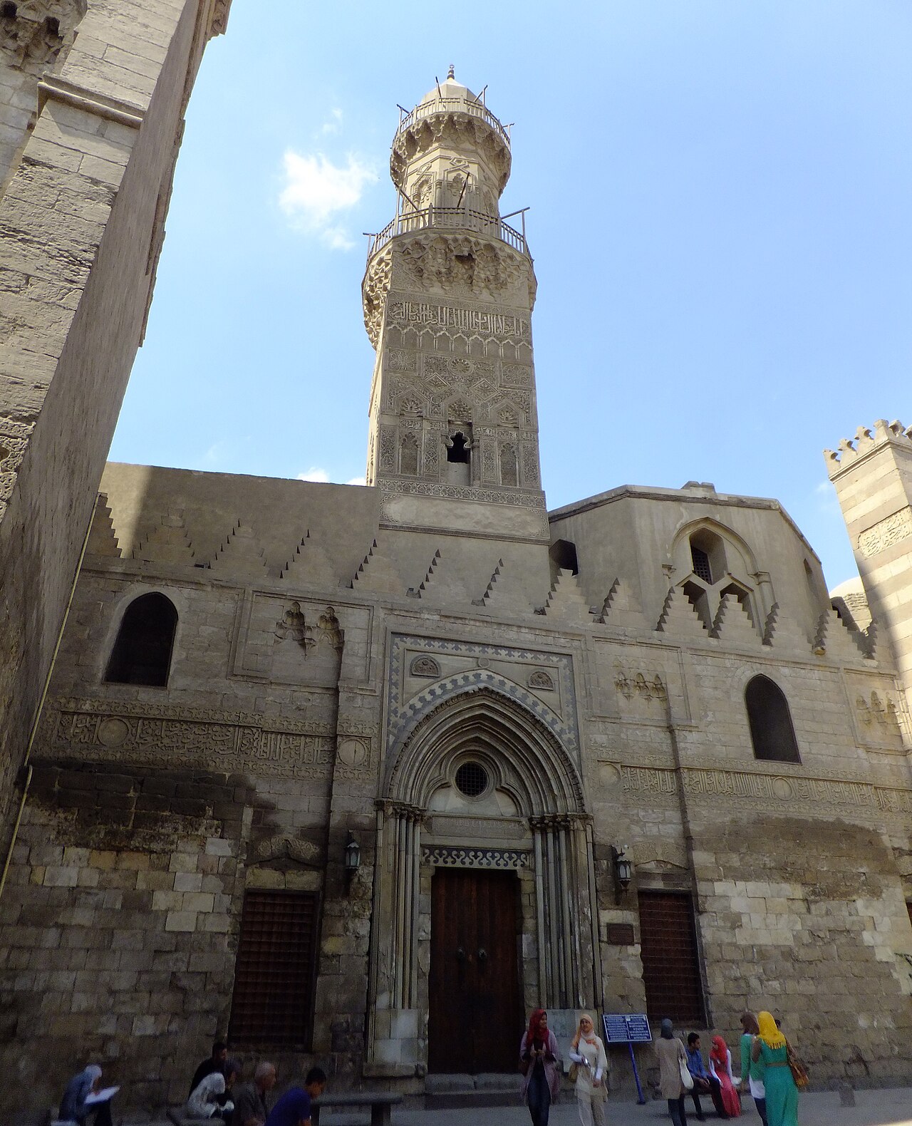
Madrasa of Al-Nasir Muhammad
1303
 Artifact
Secondary source
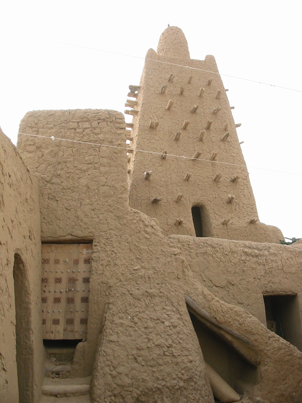
Djinguereber Mosque
1327 (traditional date)
Ready when you are
Start chatting with Mansa Musa now.
20 messages free · No credit card · Available in 50+ languages.