


Primary sourceDocument1529
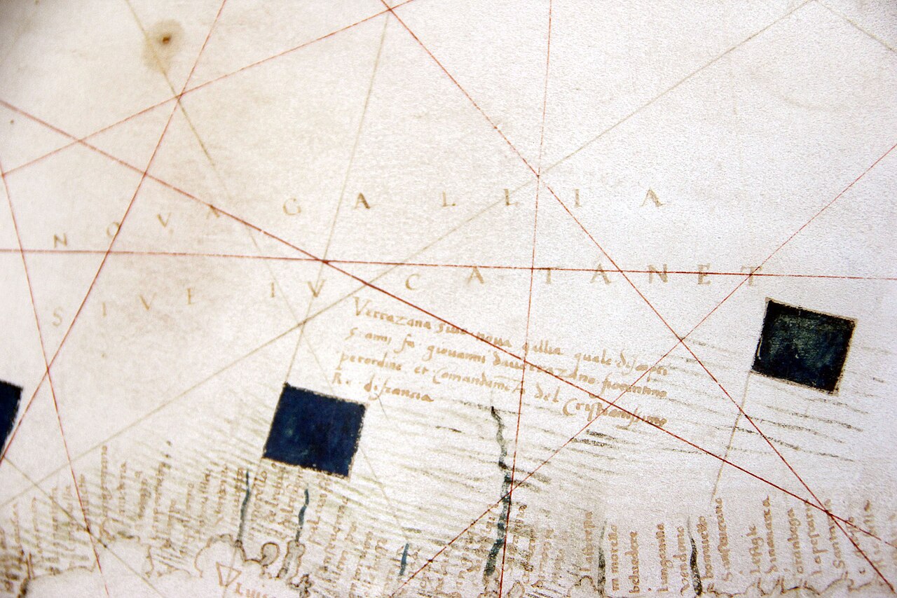
Carte Canada Nova-Gallia par Verrazzano
Girolamo da Verrazzano · 1529
A detail of the 1529 world map made by Giovanni da Verrazzano's brother Girolamo, recording the voyage's results and labelling the coast 'Nova Gallia'.
Made by his brother using the results of his 1524 voyage, this map is the main record of what Verrazzano claimed to have found.
About this source
What it is
This is a detail of a 1529 world map drawn by Girolamo da Verrazzano, the brother of the explorer Giovanni da Verrazzano. It records the results of Giovanni's voyage along the North American coast, labels the region 'Nova Gallia' (New Gaul, an early name for French claims in North America), and shows a narrow isthmus thought to be a sea passage, later called the 'Sea of Verrazzano'. The map is held in the Vatican Museums.
Why it matters
Maps like this show how quickly one voyage could reshape Europe's picture of the world. Girolamo turned his brother's reports into a visual claim for France, and the mistaken sea passage shows how explorers' guesses could become 'facts' on maps for decades.
Look closer
- Why might a brother be the one to draw this map rather than Giovanni himself?
- What does the false 'sea' tell you about the limits of exploration-era knowledge?
- Why would labelling land 'Nova Gallia' matter politically?
This document is part of the curated material that grounds the AI version of Giovanni da Verrazzano on Humy.ai — when students ask about related events, the AI can quote it and cite it.
More Giovanni da Verrazzano sources
Meet the AI Giovanni da Verrazzano →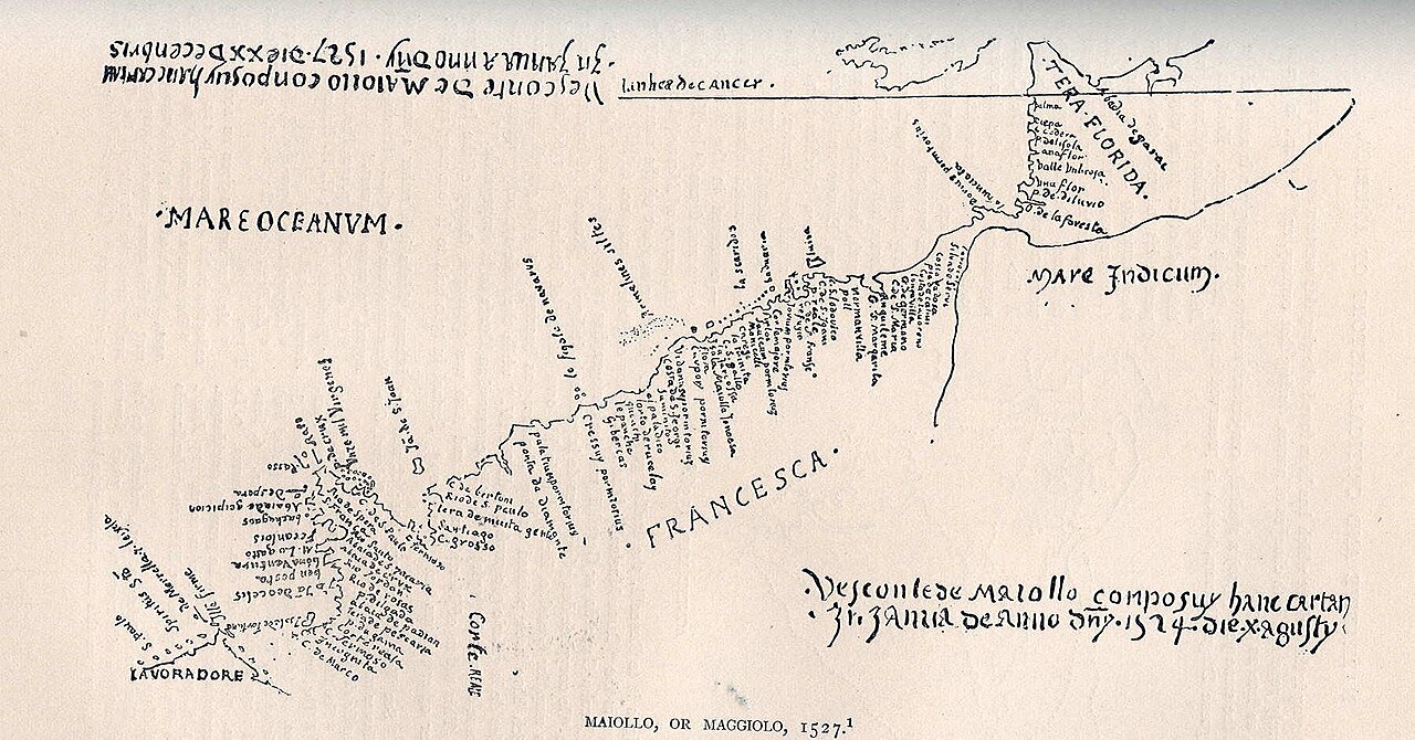 Document
Primary source
Tera Florida Map
Vesconte Maggiolo · 1527
 Artifact
Secondary source
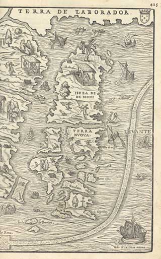
La Nuova Francia
Giacomo Gastaldi · 1556
 Document
Primary source
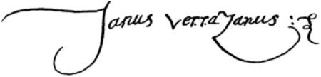
Signature of Giovanni da Verrazzano
Giovanni da Verrazzano · 1526
 Artifact
Secondary source
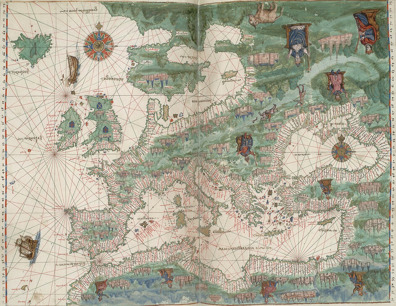
Vallard Atlas
1547
 Artifact
Tertiary source
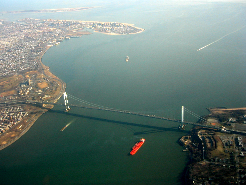
Verrazzano-Narrows Bridge
Othmar Ammann · 1964
Ready when you are
Start chatting with Giovanni da Verrazzano now.
20 messages free · No credit card · Available in 50+ languages.