


Primary sourceDocument1527
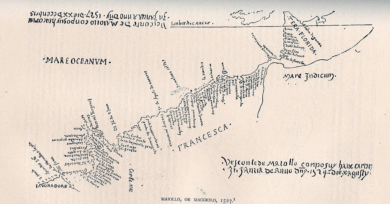
Tera Florida Map
Vesconte Maggiolo · 1527
A 1527 manuscript map by Visconte Maggiolo, one of the first to chart Verrazzano's discoveries along the American coast.
This map charts the coastline Verrazzano explored, showing how quickly his discoveries reached European cartographers.
About this source
What it is
This hand-drawn manuscript map was made in 1527 by the Genoese cartographer Vesconte Maggiolo. It shows the Atlantic coast of the Americas with place names including 'Normanvilla', 'Terra Florida', 'Francesca', and 'Lavoradore'. It is kept in the Ambrosian Library in Milan.
Why it matters
This map shows how fast information from Giovanni da Verrazzano's 1524 voyage spread among European mapmakers. Maggiolo used Verrazzano's reports to update the known shape of the American coastline, showing how explorers' findings were quickly absorbed into the wider European understanding of the New World.
Look closer
- How might Maggiolo have gotten information about Verrazzano's voyage without sailing himself?
- Why do some place names on the map sound French, like 'Francesca'?
- What parts of the coastline look uncertain or incomplete?
This document is part of the curated material that grounds the AI version of Giovanni da Verrazzano on Humy.ai — when students ask about related events, the AI can quote it and cite it.
More Giovanni da Verrazzano sources
Meet the AI Giovanni da Verrazzano →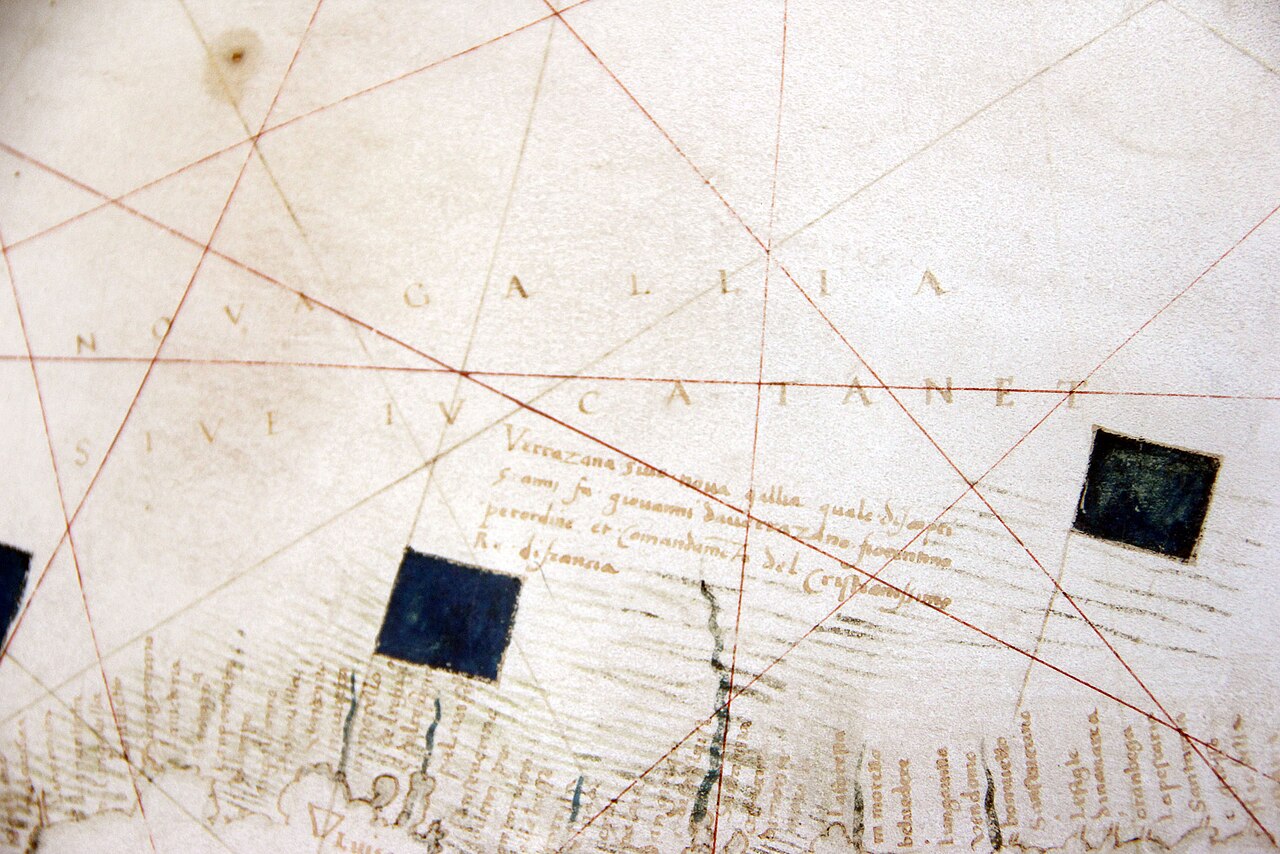 Document
Primary source
Carte Canada Nova-Gallia par Verrazzano
Girolamo da Verrazzano · 1529
 Artifact
Secondary source
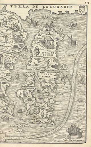
La Nuova Francia
Giacomo Gastaldi · 1556
 Document
Primary source
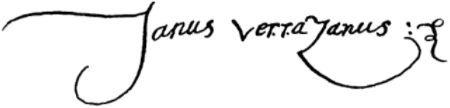
Signature of Giovanni da Verrazzano
Giovanni da Verrazzano · 1526
 Artifact
Secondary source
Vallard Atlas
1547
 Artifact
Tertiary source
Verrazzano-Narrows Bridge
Othmar Ammann · 1964
Ready when you are
Start chatting with Giovanni da Verrazzano now.
20 messages free · No credit card · Available in 50+ languages.