


Secondary sourceArtifact1547
Vallard Atlas
1547
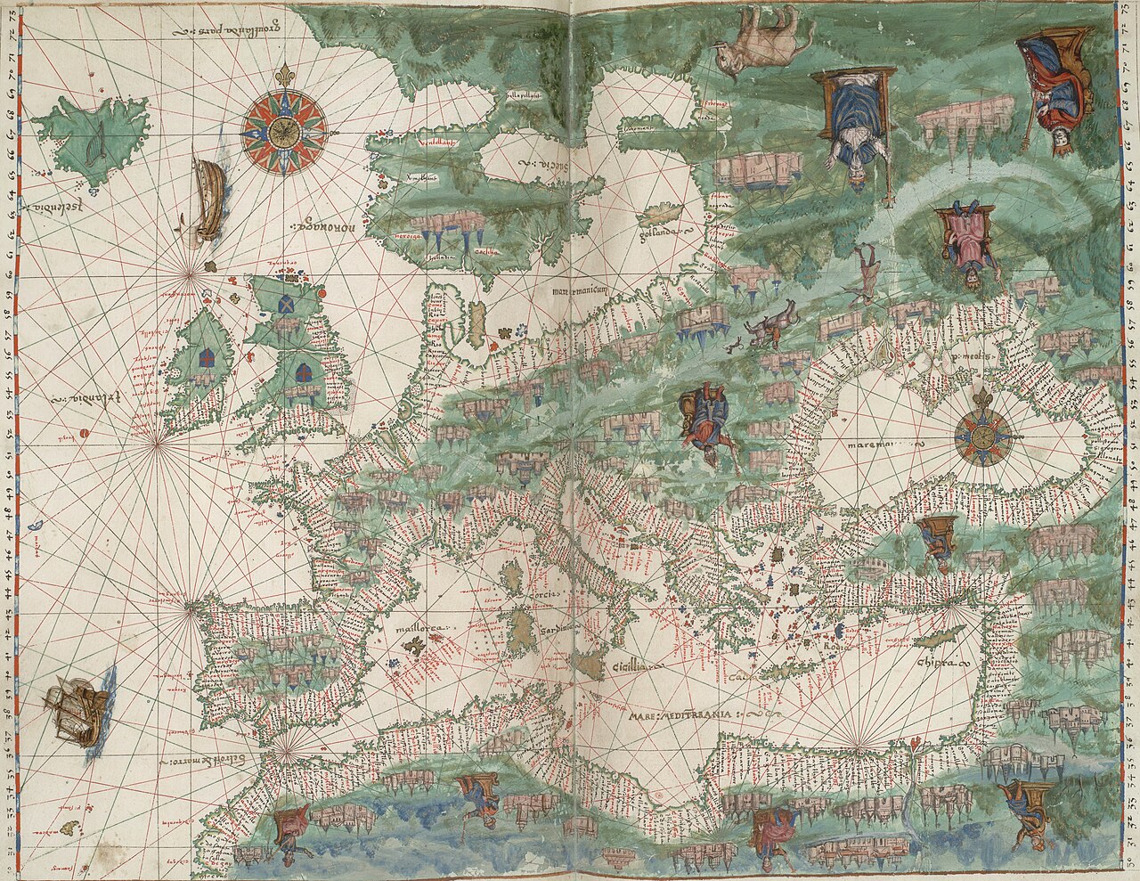
A 1547 Dieppe manuscript atlas depicting French North America, the world region opened to Europeans by Verrazzano's and Cartier's voyages.
Depicts the French North America first explored and reported on by Verrazzano in 1524.
About this source
What it is
This is a manuscript atlas of nautical charts made in Dieppe, France, in 1547, part of the French mapmaking tradition known as the Dieppe school. It is inscribed with the name of its first owner, Nicolas Vallard, though he likely did not create it himself. It has been held by the Huntington Library since 1924.
Why it matters
The atlas contains illustrations of Indigenous peoples of the Americas and detailed coastlines, reflecting the knowledge of the New World that voyages like Giovanni Verrazzano's in 1524 and Jacques Cartier's helped bring back to Europe. It shows how French explorers' discoveries were recorded and visualized by cartographers working decades later.
Why it matters
Look closer
- Why might the mapmaker have reversed the usual orientation, putting south at the top?
- What can illustrations on a map tell us about how Europeans viewed the people and places they encountered?
- Who do you think this atlas was made for, and why?
This artifact is part of the curated material that grounds the AI version of Giovanni da Verrazzano on Humy.ai — when students ask about related events, the AI can quote it and cite it.
More Giovanni da Verrazzano sources
Meet the AI Giovanni da Verrazzano →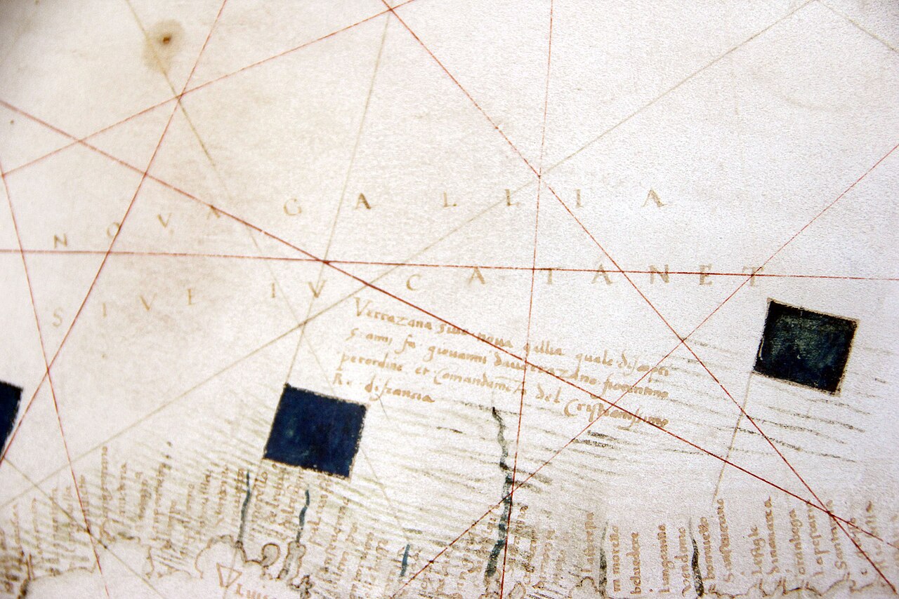 Document
Primary source
Carte Canada Nova-Gallia par Verrazzano
Girolamo da Verrazzano · 1529
 Document
Primary source
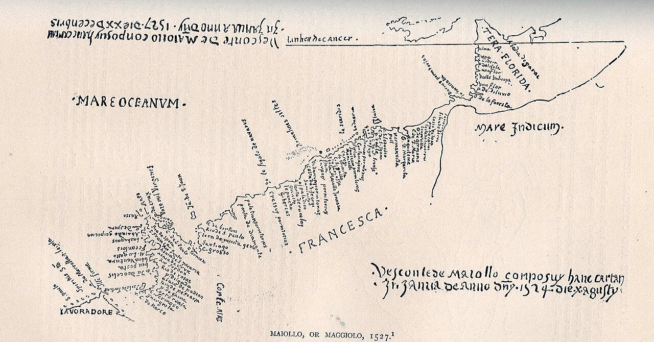
Tera Florida Map
Vesconte Maggiolo · 1527
 Artifact
Secondary source
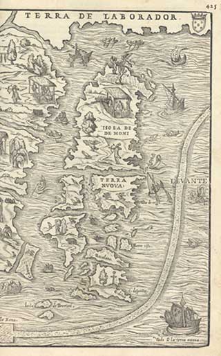
La Nuova Francia
Giacomo Gastaldi · 1556
 Document
Primary source
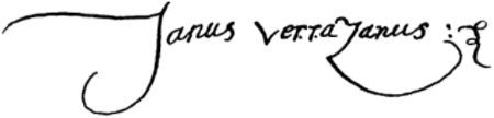
Signature of Giovanni da Verrazzano
Giovanni da Verrazzano · 1526
 Artifact
Tertiary source
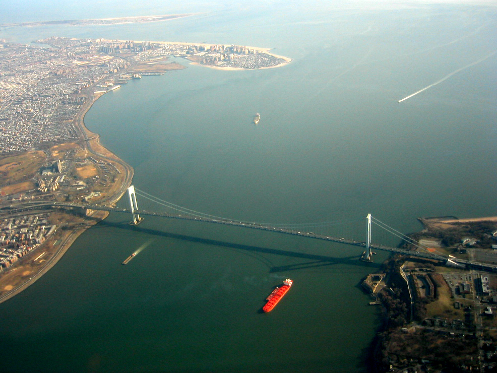
Verrazzano-Narrows Bridge
Othmar Ammann · 1964
Ready when you are
Start chatting with Giovanni da Verrazzano now.
20 messages free · No credit card · Available in 50+ languages.