


Primary sourceDocument1632
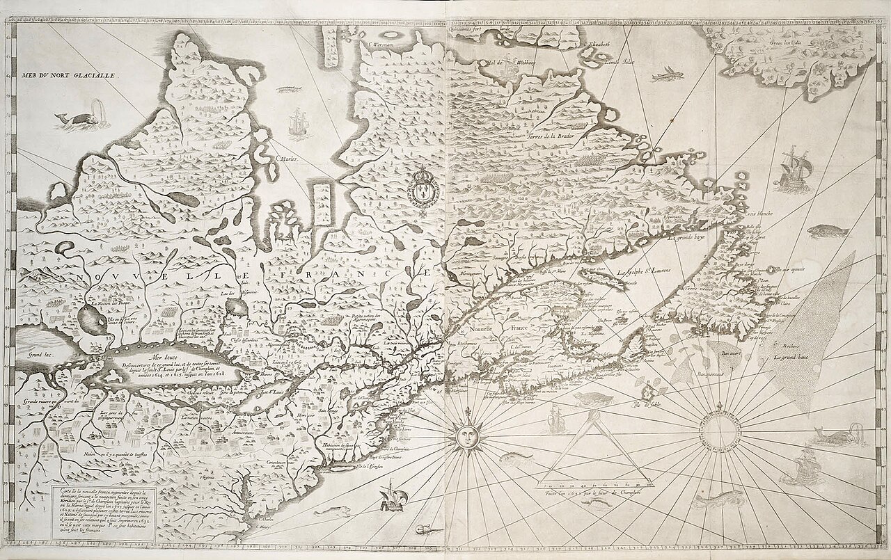
Carte de la Nouvelle France (1632)
Samuel de Champlain · 1632
Champlain's final and most detailed map of New France, summarizing decades of French and Indigenous geographic knowledge including the Great Lakes region.
Drawn by Champlain himself, this map sums up his decades of exploration and knowledge of New France.
About this source
What it is
This map, made by Samuel de Champlain in 1632, is his last and most complete map of New France. It includes the Great Lakes area and is held today by Library and Archives Canada and the Library of Congress.
Why it matters
This map represents the culmination of Champlain's decades of exploration, drawing on both French surveying and Indigenous geographic knowledge gathered through his travels and alliances. It helped shape European understanding of North American geography and reflects Champlain's lasting role as a cartographer as well as an explorer.
Look closer
- What decorative elements, like sea monsters or compass roses, tell you about the era's mapmaking style?
- What sources of knowledge might Champlain have relied on to make this map so detailed?
- What areas does the map get wrong or leave vague, and what might that suggest?
This document is part of the curated material that grounds the AI version of Samuel de Champlain on Humy.ai — when students ask about related events, the AI can quote it and cite it.
More Samuel de Champlain sources
Meet the AI Samuel de Champlain → Book
Primary source
Les Voyages du sieur de Champlain
Samuel de Champlain · 1613
 Document
Primary source
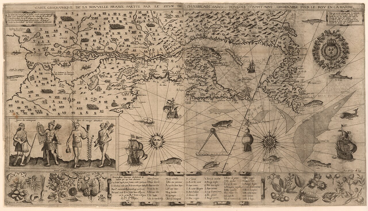
Carte geographique de la Nouvelle Franse
Samuel de Champlain · 1612
 Book
Primary source
Des Sauvages, ou voyage de Samuel Champlain
Samuel de Champlain · 1603
 Document
Primary source
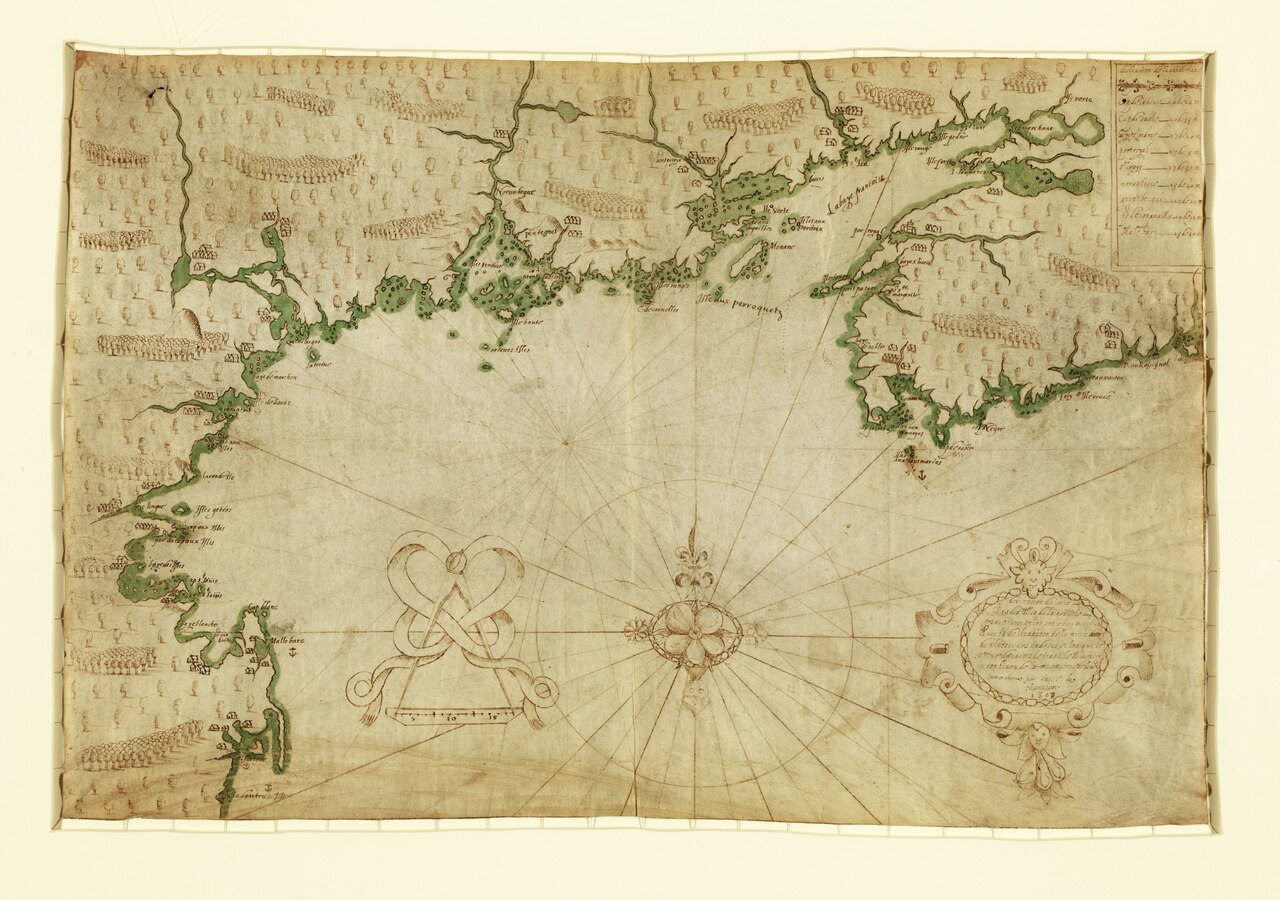
Descripsion des costs, pts., rades, Illes de la Nouuele France
Samuel de Champlain · 1607
 Document
Primary source
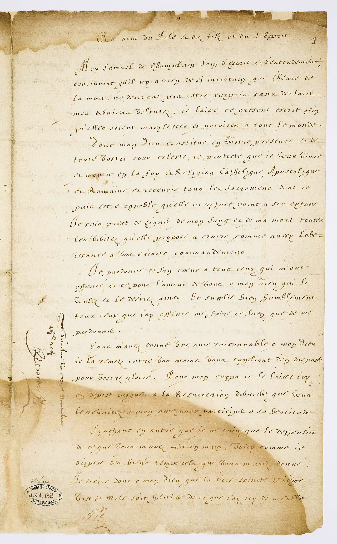
Testament de Samuel Champlain
Samuel de Champlain · 17 November 1635
Ready when you are
Start chatting with Samuel de Champlain now.
20 messages free · No credit card · Available in 50+ languages.