


Primary sourceDocument1607
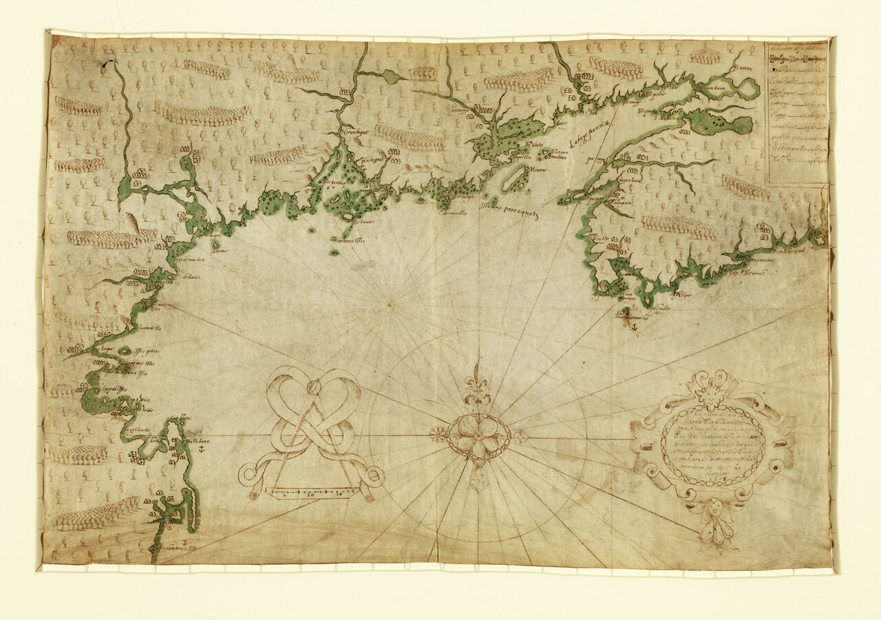
Descripsion des costs, pts., rades, Illes de la Nouuele France
Samuel de Champlain · 1607
A hand-drawn manuscript map by Champlain of the North American coast from Cape Sable to Cape Cod, made during his 1604–1607 surveys.
A surviving hand-drawn map made by Champlain himself during his coastal surveys of 1604–1607.
About this source
What it is
This hand-drawn map on vellum was made by Samuel de Champlain in 1607. It shows the coastline from Cape Sable to Cape Cod, drawn with ink and green wash, including place names, a compass rose, and a decorative cartouche. It is held today by the Library of Congress.
Why it matters
As a surviving original manuscript map, this is direct physical evidence of Champlain's surveying work along the North American coast between 1604 and 1607. It shows the careful, firsthand observation behind the printed maps that later shaped European knowledge of the region.
Look closer
- What details suggest this map was drawn directly from observation rather than copied from another source?
- Why might a hand-drawn working map differ from a later printed, decorated map?
- What might be missing from a map made by an explorer surveying unfamiliar coastlines?
This document is part of the curated material that grounds the AI version of Samuel de Champlain on Humy.ai — when students ask about related events, the AI can quote it and cite it.
More Samuel de Champlain sources
Meet the AI Samuel de Champlain → Book
Primary source
Les Voyages du sieur de Champlain
Samuel de Champlain · 1613
 Document
Primary source
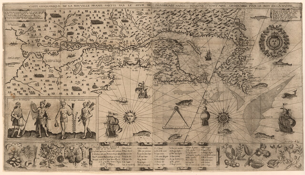
Carte geographique de la Nouvelle Franse
Samuel de Champlain · 1612
 Book
Primary source
Des Sauvages, ou voyage de Samuel Champlain
Samuel de Champlain · 1603
 Document
Primary source
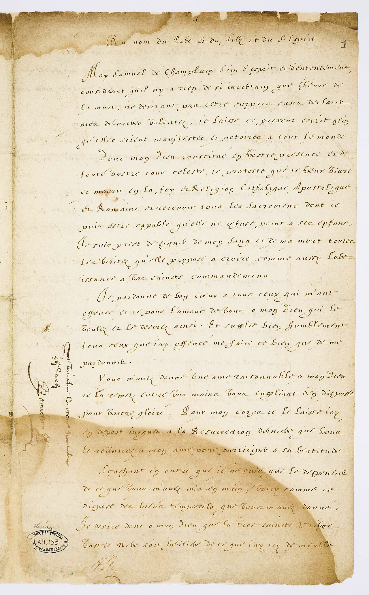
Testament de Samuel Champlain
Samuel de Champlain · 17 November 1635
 Artifact
Primary source
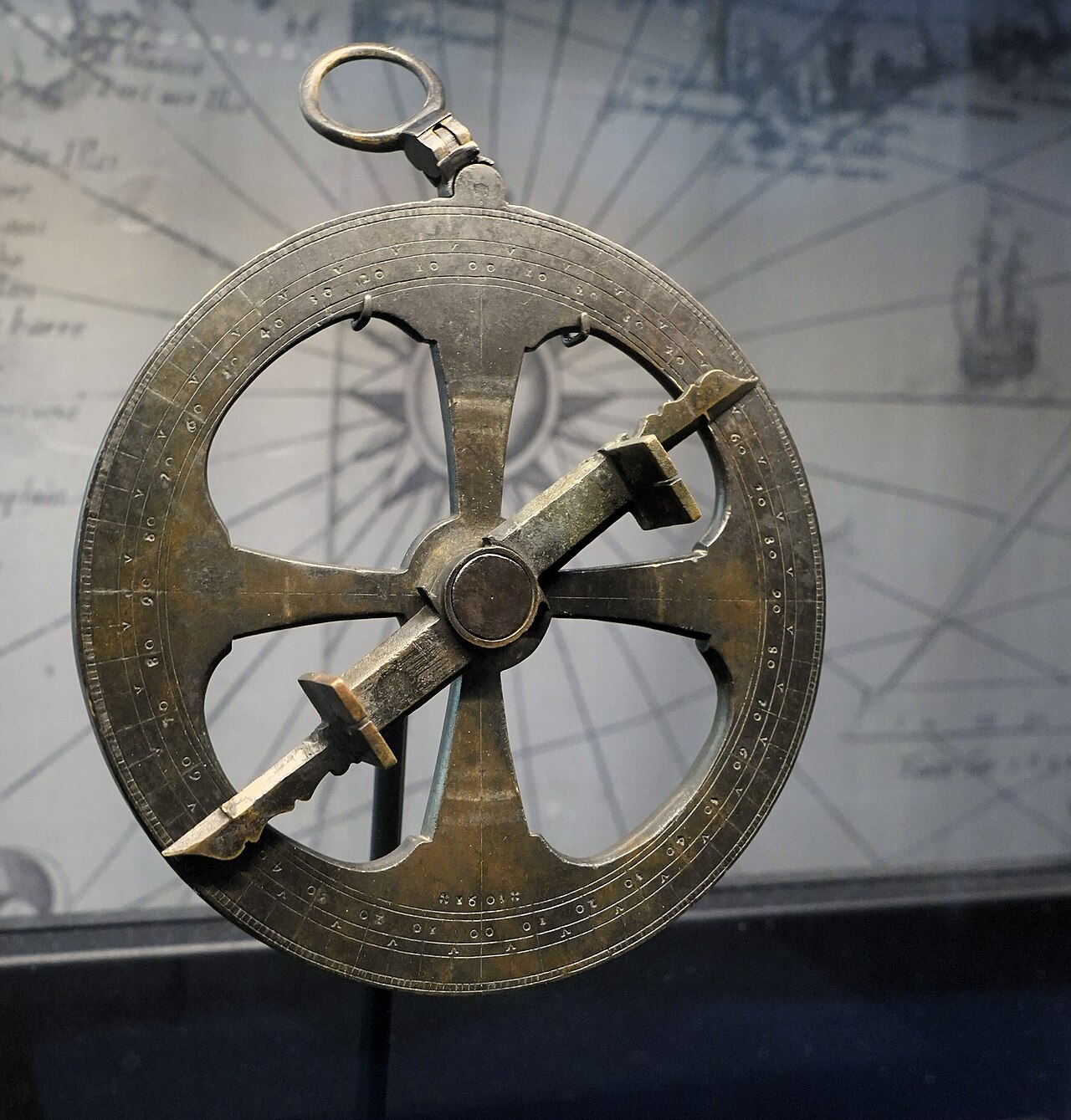
Mariner's Astrolabe
1603
Ready when you are
Start chatting with Samuel de Champlain now.
20 messages free · No credit card · Available in 50+ languages.