


Primary sourceDocument1632
Champlain's 1632 map of the Ottawa River route
Samuel de Champlain · 1632
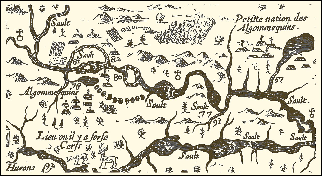
An extract from Champlain's 1632 map of New France, showing the Ottawa River route he took in 1616, with numbered sites, rapids and Algonquin and Huron settlements.
Champlain drew this map himself to show the route he travelled in 1616, making it a record of his own exploration.
About this source
What it is
This is an extract from a map of the eastern reaches of New France, created in 1632 by Samuel de Champlain. It shows a portion of the Ottawa River and marks the route he took in 1616. Numbers indicate sites he visited, significant rapids and Aboriginal encampments. The image is a black-and-white engraved map with labels such as Algommequins, Petite nation des Algommequins, Sault for rapids, and Hurons. Numbers 77 and 91 correspond to the modern City of Ottawa and the Rideau River, and number 81 marks Allumette Island, inhabited by Algonquin people at that time.
Why it matters
Maps were central to how the French understood and claimed the lands they explored. This map records Champlain's own knowledge of the river route, the rapids and the Indigenous communities along it. It shows that his travels depended on the Algonquin and Huron peoples, whose settlements and routes he had to learn in order to travel.
Look closer
- Which places on the map are named by people, and which are marked only by symbols? What does this tell you about what Champlain knew?
- Why would a map mark rapids and encampments with numbers? Who was this map for?
- What does the map leave out, such as the people who lived along the route and how they named their own lands?
This document is part of the curated material that grounds the AI version of Samuel de Champlain on Humy.ai — when students ask about related events, the AI can quote it and cite it.
More Samuel de Champlain sources
Meet the AI Samuel de Champlain → Book
Primary source
Les Voyages du sieur de Champlain
Samuel de Champlain · 1613
 Document
Primary source
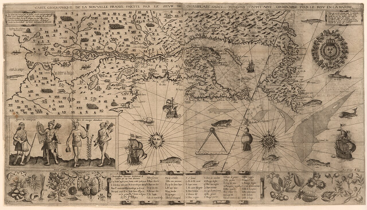
Carte geographique de la Nouvelle Franse
Samuel de Champlain · 1612
 Book
Primary source
Des Sauvages, ou voyage de Samuel Champlain
Samuel de Champlain · 1603
 Document
Primary source
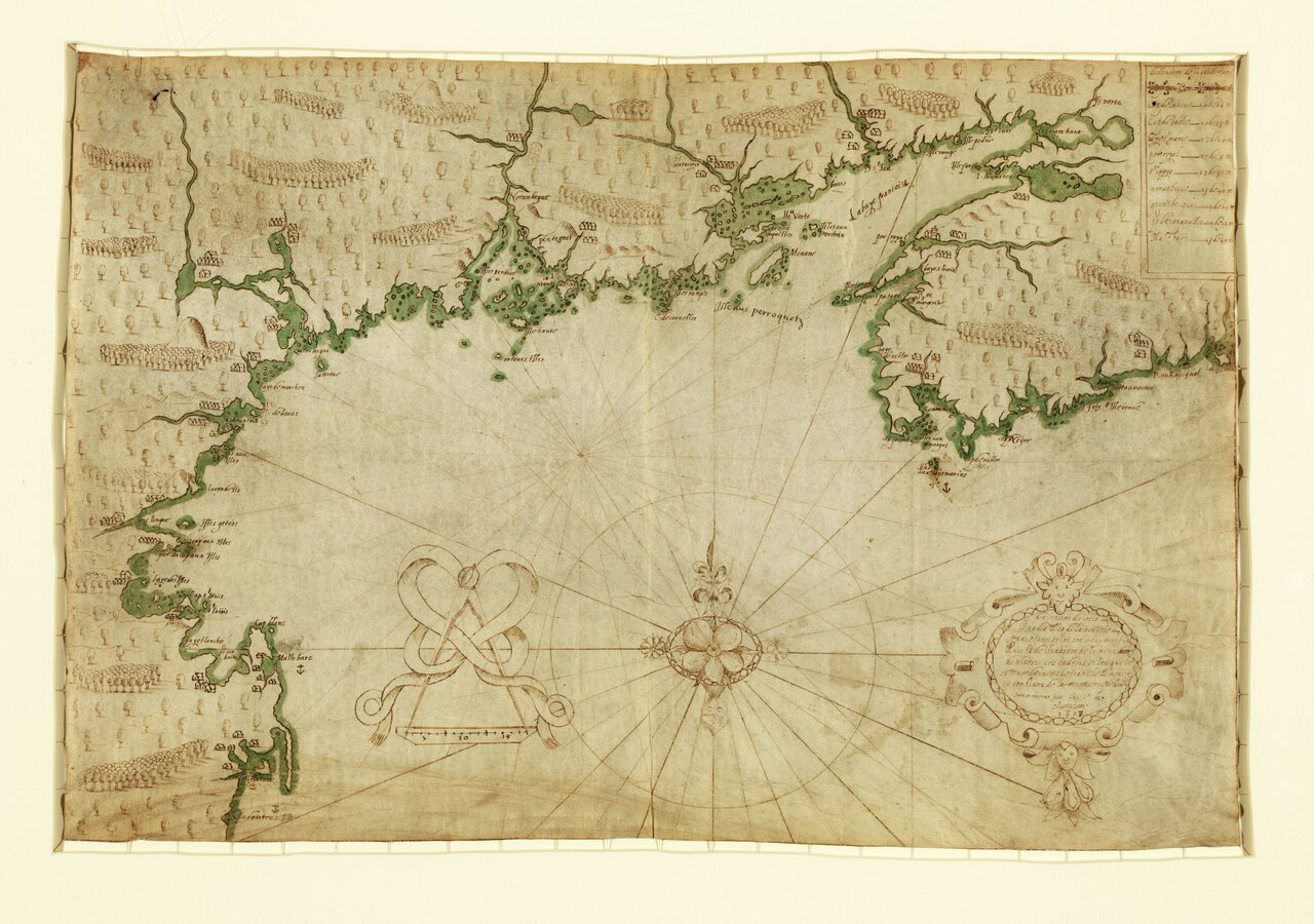
Descripsion des costs, pts., rades, Illes de la Nouuele France
Samuel de Champlain · 1607
 Document
Primary source
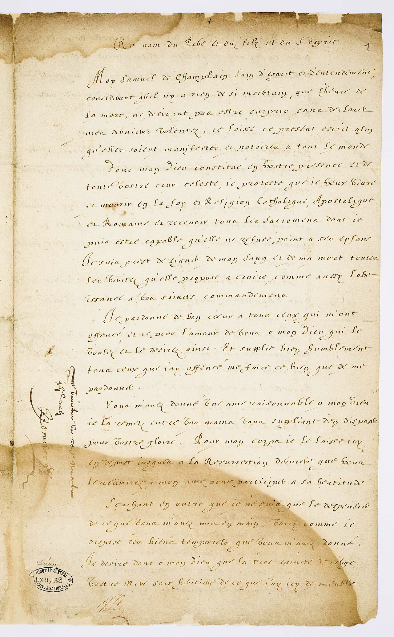
Testament de Samuel Champlain
Samuel de Champlain · 17 November 1635
Ready when you are
Start chatting with Samuel de Champlain now.
20 messages free · No credit card · Available in 50+ languages.