


Primary sourceDocument1774 (published 1776-1777)
Chart of Discoveries in the South Pacific
James Cook · 1774 (published 1776-1777)
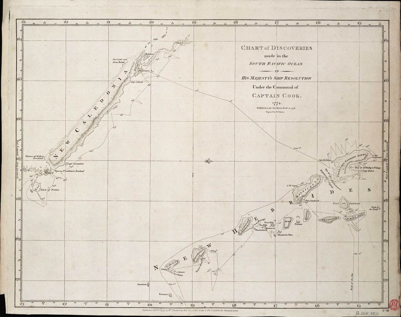
A navigational chart showing new discoveries in the South Pacific made by Captain Cook and his crew aboard HMS Resolution in 1774.
This chart records Cook's own surveying of newly encountered Pacific locations during his second voyage aboard HMS Resolution.
About this source
What it is
This engraved chart records discoveries made in the South Pacific Ocean by Captain James Cook aboard HMS Resolution. It shows the ship's track during July to September 1774 and includes areas such as Vanuatu and New Caledonia. It was published as Plate III of Cook's account of his second voyage toward the South Pole.
Why it matters
This chart documents the moment Europeans first recorded these Pacific locations on paper, based directly on Cook's surveying during his second voyage. It shows how exploration and mapmaking went hand in hand, and how Cook's crew's daily movements became permanent lines on a map.
Look closer
- What does the ship's track line tell you about how Cook's voyage actually unfolded, day by day?
- Why would a chart like this be valuable to other sailors who came after Cook?
- What is missing from this chart about the people who already lived on these islands?
This document is part of the curated material that grounds the AI version of James Cook on Humy.ai — when students ask about related events, the AI can quote it and cite it.
More James Cook sources
Meet the AI James Cook →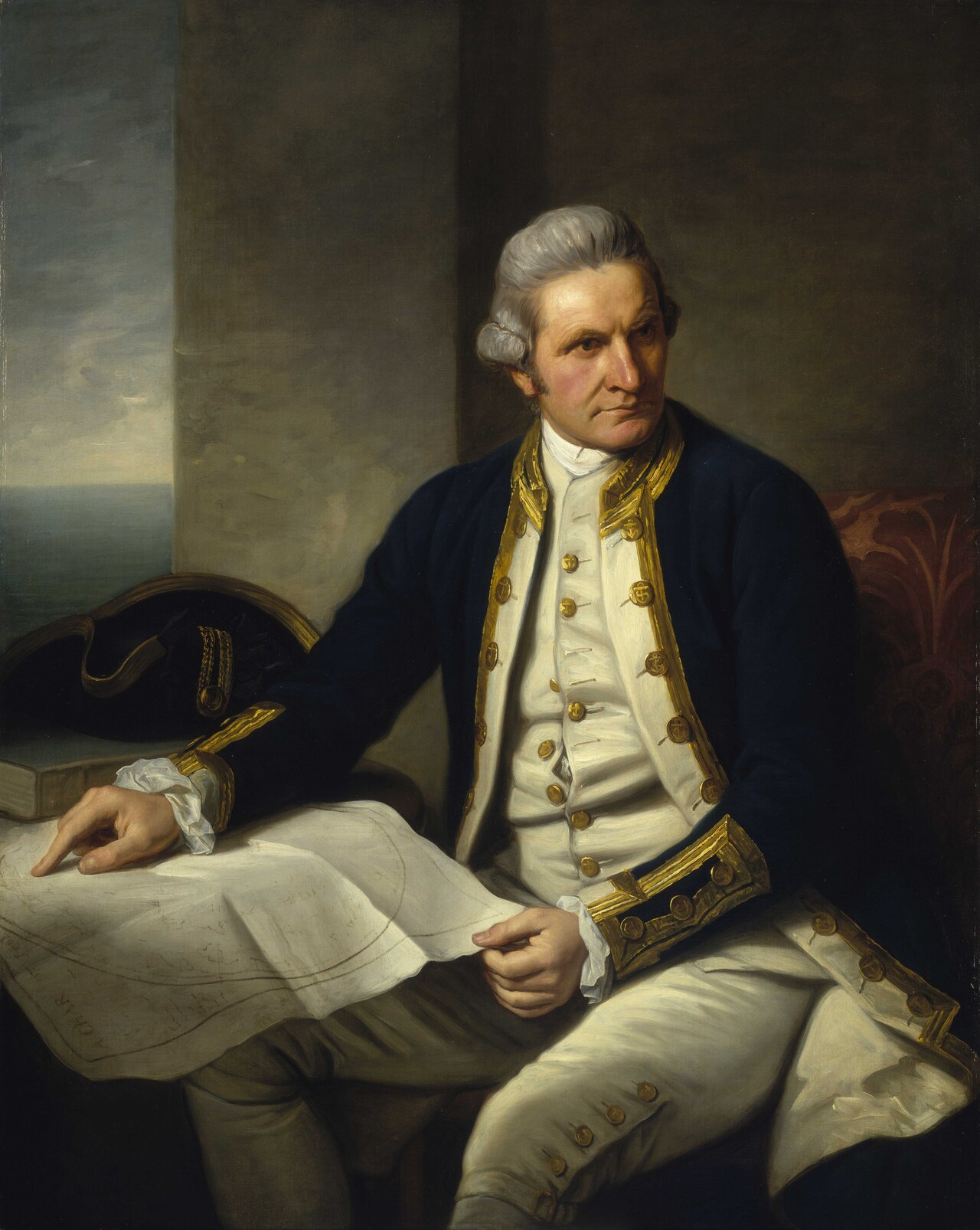 Painting
Primary source
Captain James Cook, 1728-79
Nathaniel Dance-Holland · c. 1775-1776
 Painting
Secondary source
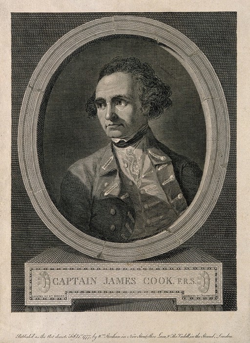
James Cook, line engraving by Basire after Hodges
William Hodges · 1777
 Document
Primary source
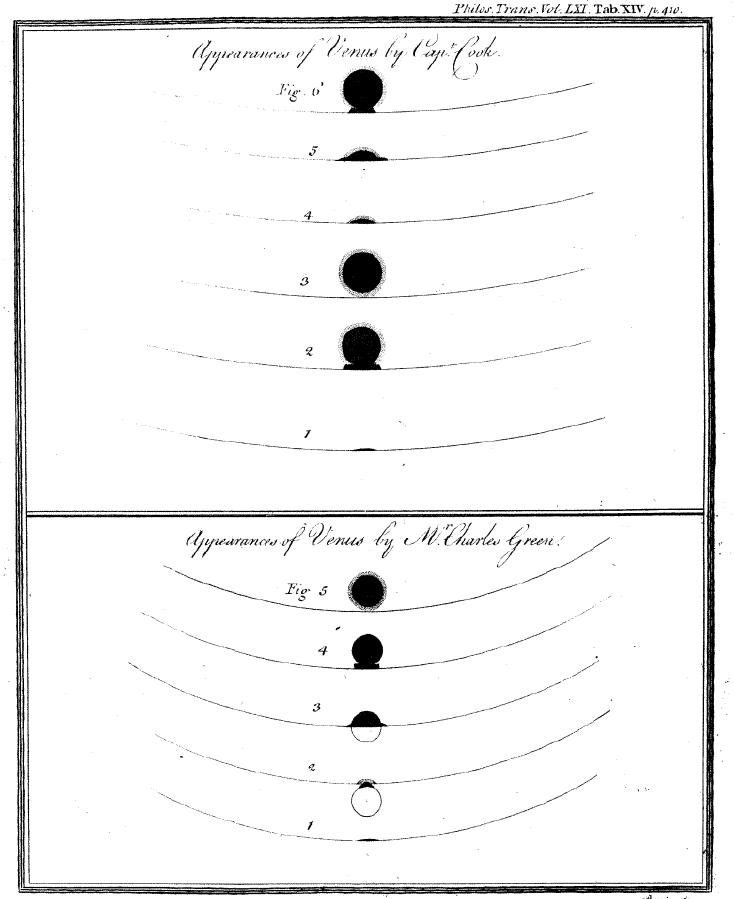
Sketchings of the 1769 Venus Transit
James Cook and Charles Green · 1769
 Painting
Primary source
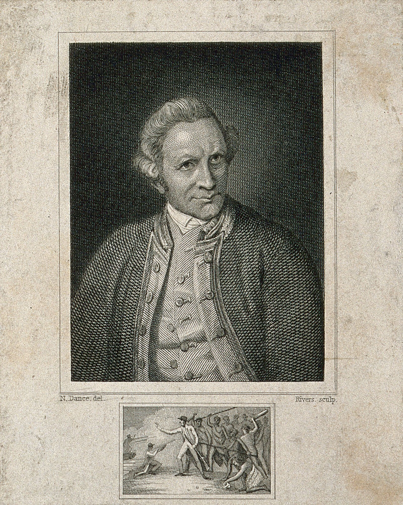
James Cook, engraving by Rivers after Dance-Holland
Nathaniel Dance-Holland · 1776
 Document
Primary source
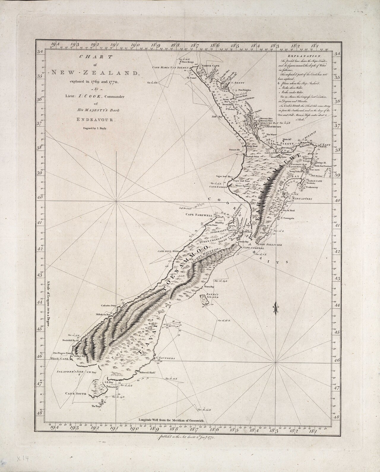
Chart of New Zealand, explored in 1769 and 1770
James Cook · 1770
Ready when you are
Start chatting with James Cook now.
20 messages free · No credit card · Available in 50+ languages.