


Primary sourceDocument1769
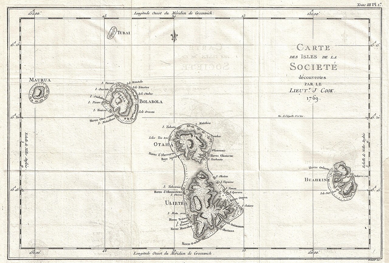
Chart of the Society Islands
James Cook · 1769
A map of the Society Islands made by Lieutenant James Cook during his first Pacific voyage in 1769, naming the group after its island neighbours.
Cook surveyed and named these islands himself in 1769, and this map is based directly on his own journal and charting work.
About this source
What it is
This engraved map shows the islands of Maurua, Tubai, Bolabola, Otaha, Ulietea and Huaheine. It was composed by Lieutenant James Cook in 1769 during his first voyage and later engraved for a 1774 French edition of an account of his voyages.
Why it matters
This was the first published map of the Society Islands. Cook's own journal explains how he chose the name, grouping these islands together because they lay close to one another. The map shows the careful surveying skills that made Cook's voyages valuable to European navigators and scientists.
Look closer
- What details has Cook included about reefs, mountains and valleys, and why might these matter to a sailor?
- Why do you think Cook grouped these islands under one new name instead of using the names used by the people who lived there?
- What does this map leave out about the islands and the people who lived on them?
This document is part of the curated material that grounds the AI version of James Cook on Humy.ai — when students ask about related events, the AI can quote it and cite it.
More James Cook sources
Meet the AI James Cook →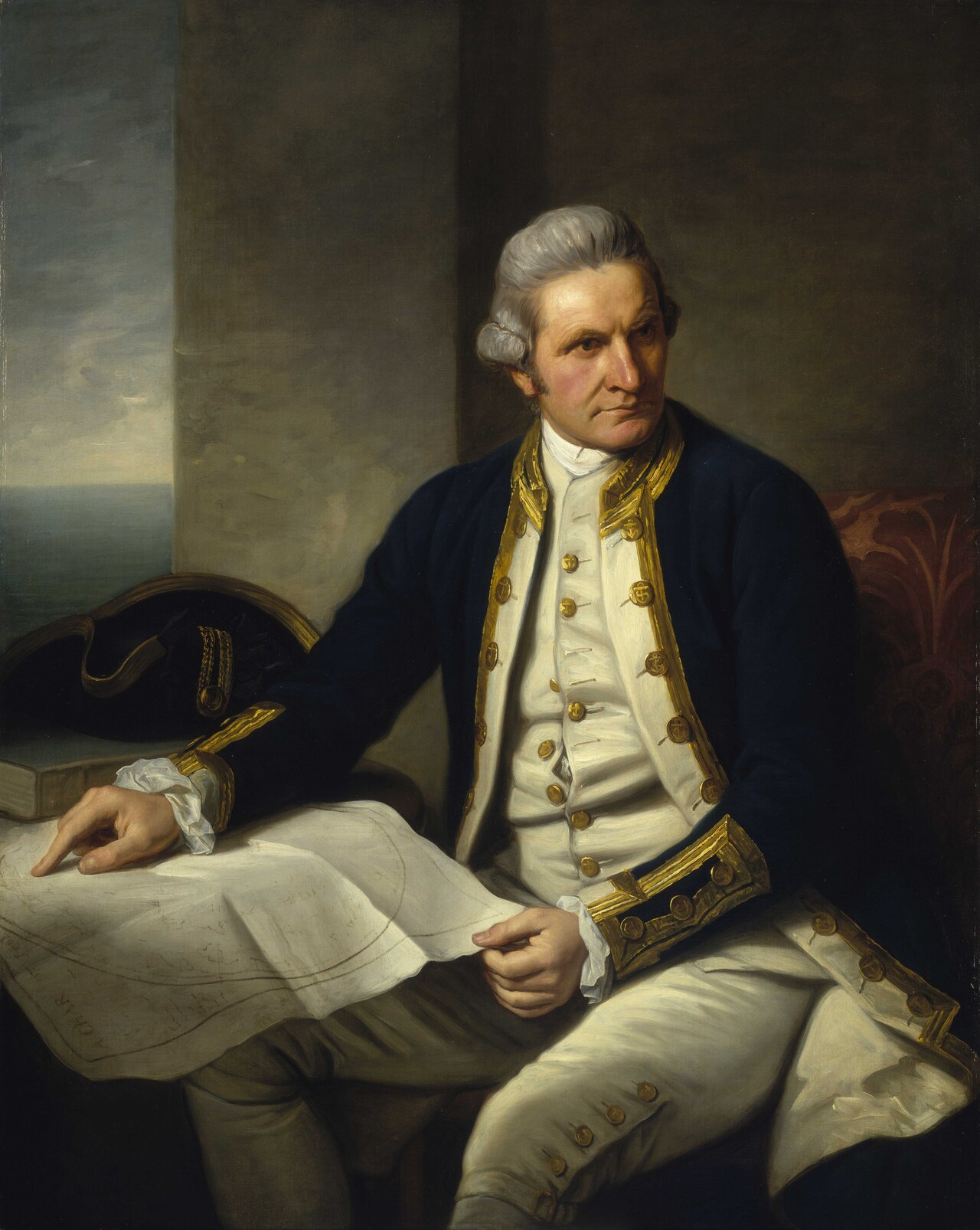 Painting
Primary source
Captain James Cook, 1728-79
Nathaniel Dance-Holland · c. 1775-1776
 Painting
Secondary source
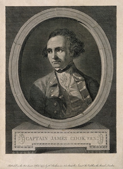
James Cook, line engraving by Basire after Hodges
William Hodges · 1777
 Document
Primary source
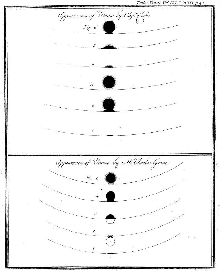
Sketchings of the 1769 Venus Transit
James Cook and Charles Green · 1769
 Painting
Primary source
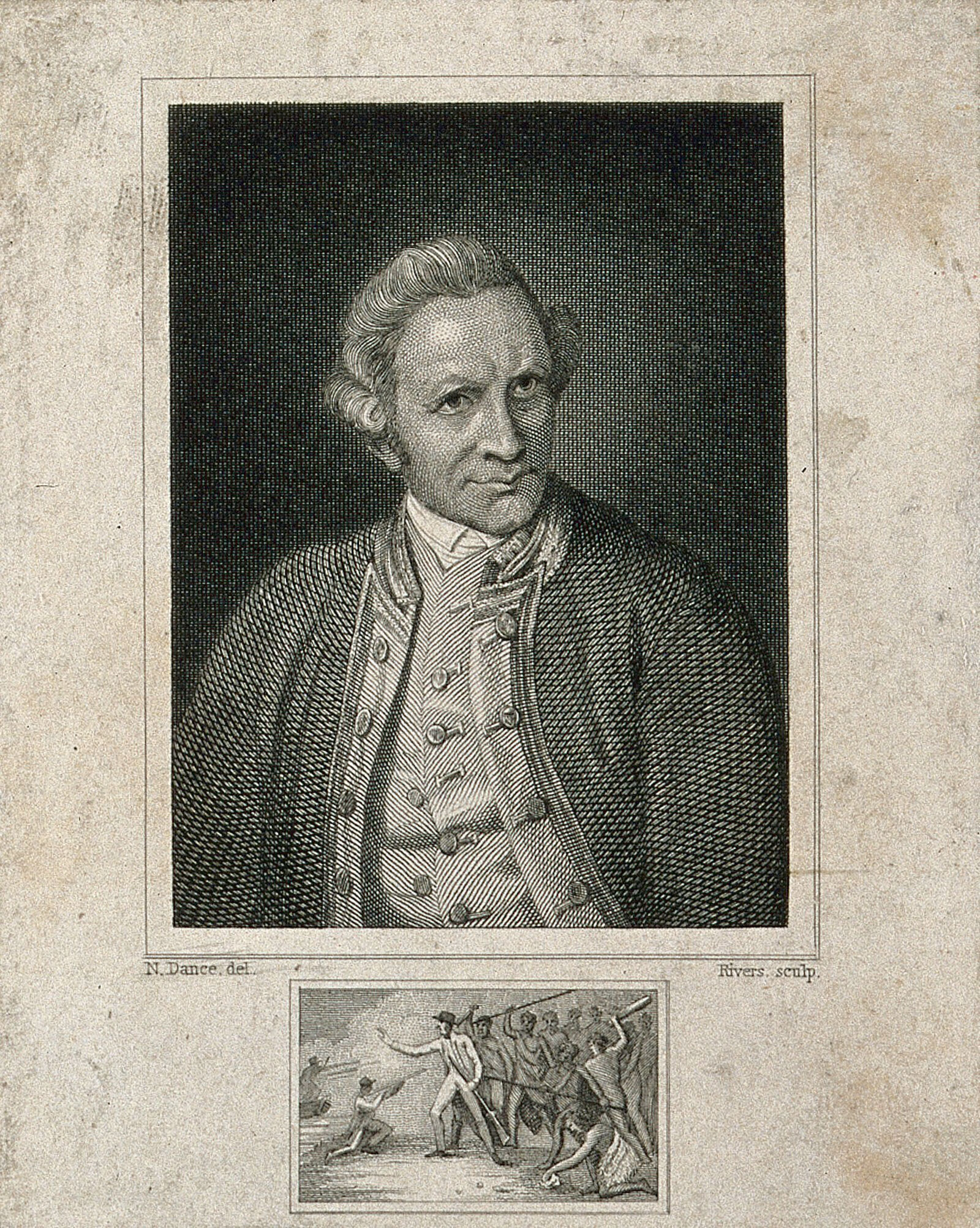
James Cook, engraving by Rivers after Dance-Holland
Nathaniel Dance-Holland · 1776
 Document
Primary source
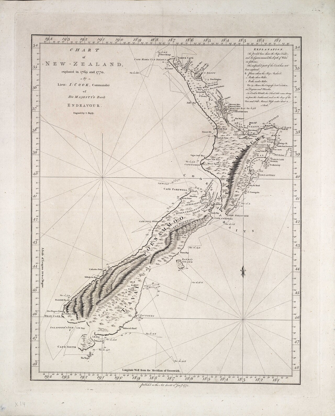
Chart of New Zealand, explored in 1769 and 1770
James Cook · 1770
Ready when you are
Start chatting with James Cook now.
20 messages free · No credit card · Available in 50+ languages.