


Primary sourceDocumentOriginal created in 1769; this facsimile published in 1893
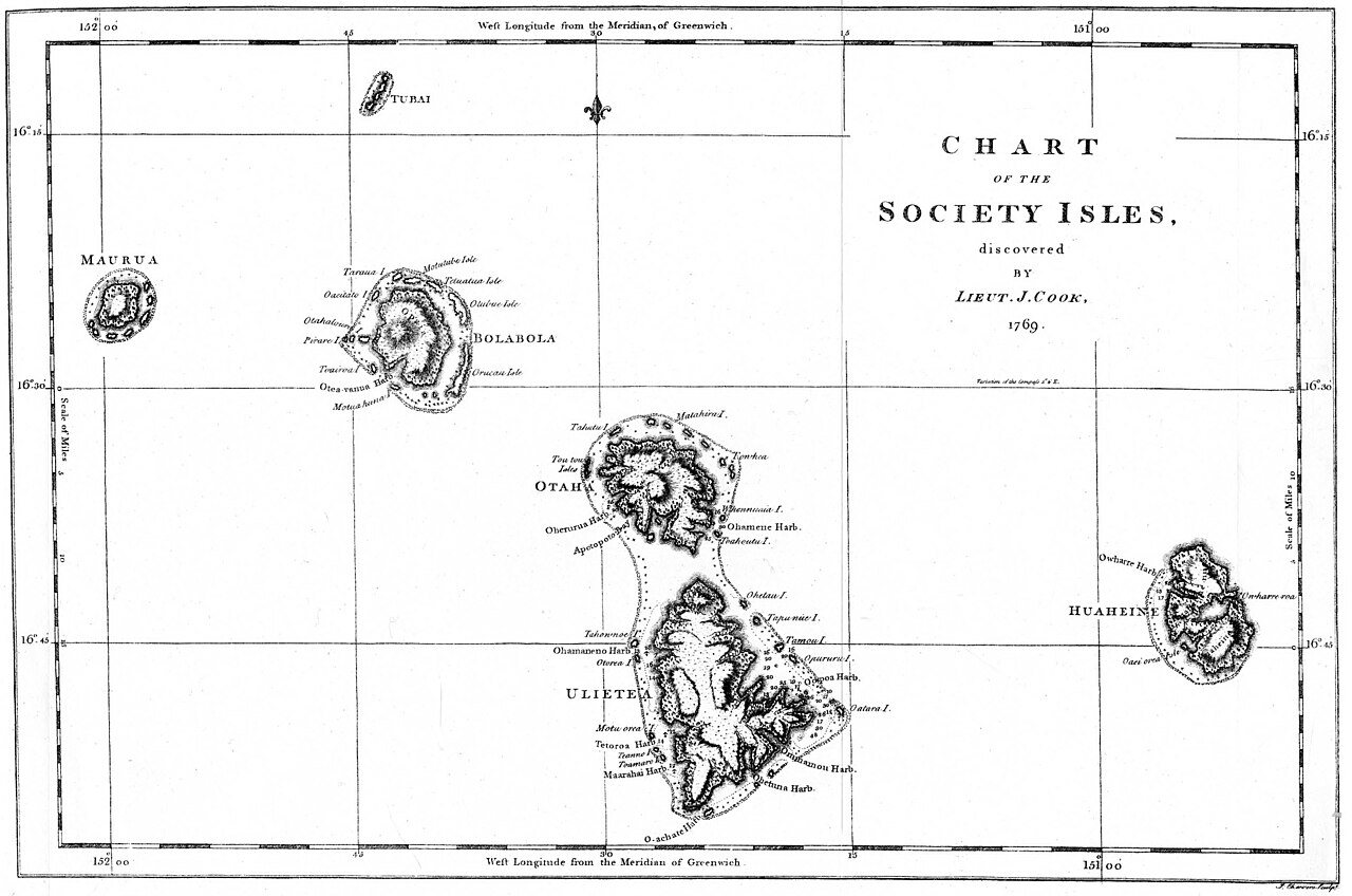
Chart of the Society Isles
James Cook · Original created in 1769; this facsimile published in 1893
A facsimile of Cook's 1769 chart mapping the Society Islands, discovered during his first voyage.
This chart, surveyed by Cook himself in 1769, documents his mapping of the Society Islands during his first voyage.
About this source
What it is
This is a facsimile, published in 1893, of an original 1769 chart made by Captain James Cook showing the Society Islands, including Maurua, Tubai, Bolabola, Otaha, Ulietea and Huaheine. Cook surveyed these islands during his first voyage.
Why it matters
The chart demonstrates Cook's systematic approach to mapping the Pacific, recording coastlines, harbours and coordinates for other sailors to use. It reflects the growing European knowledge of the Pacific islands during the era of exploration.
Look closer
- What information, such as coordinates and harbour names, is marked on this chart?
- Why do you think Cook included latitude and longitude lines?
- How might this chart have been used by sailors who came after Cook?
This document is part of the curated material that grounds the AI version of James Cook on Humy.ai — when students ask about related events, the AI can quote it and cite it.
More James Cook sources
Meet the AI James Cook →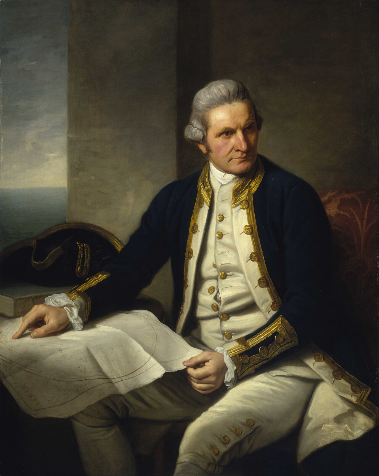 Painting
Primary source
Captain James Cook, 1728-79
Nathaniel Dance-Holland · c. 1775-1776
 Painting
Secondary source
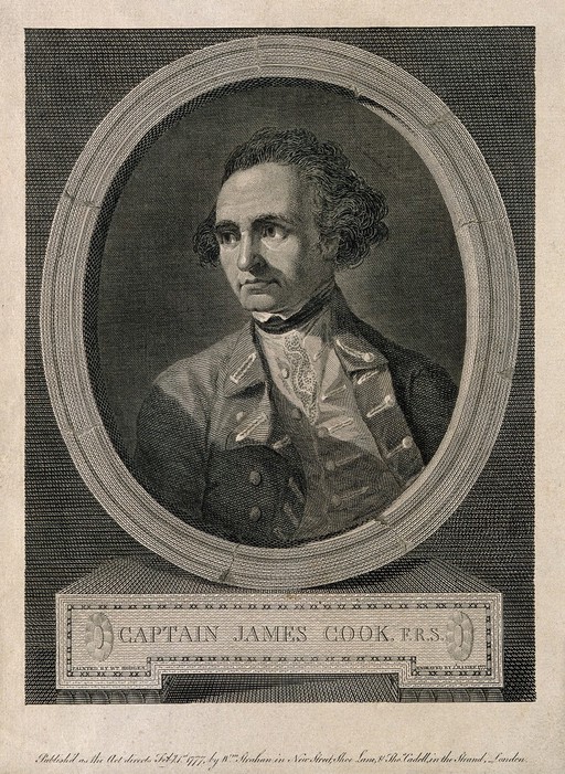
James Cook, line engraving by Basire after Hodges
William Hodges · 1777
 Document
Primary source
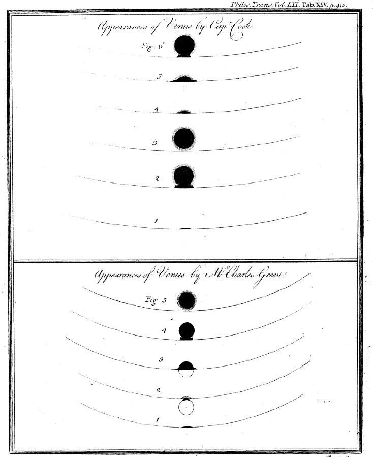
Sketchings of the 1769 Venus Transit
James Cook and Charles Green · 1769
 Painting
Primary source
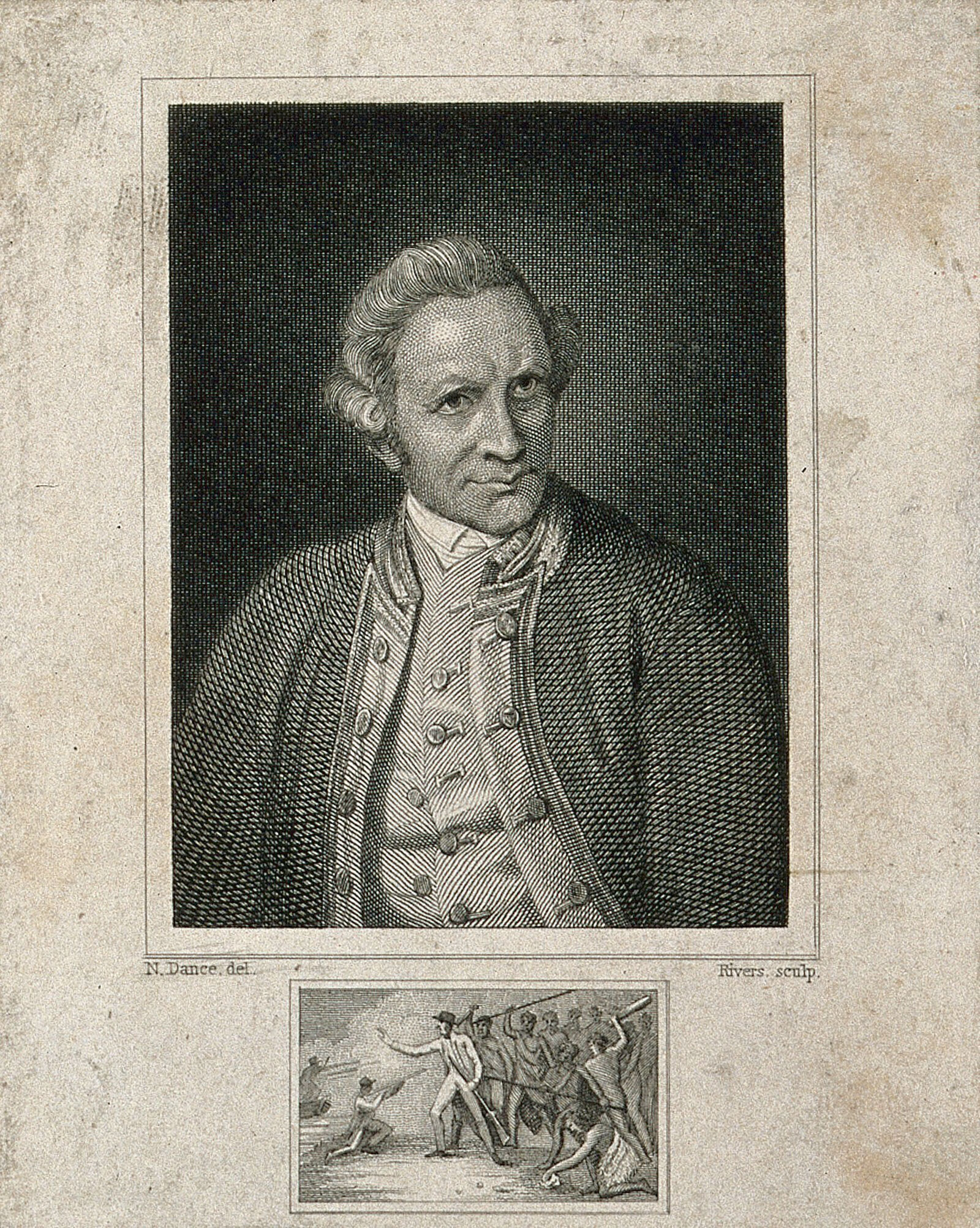
James Cook, engraving by Rivers after Dance-Holland
Nathaniel Dance-Holland · 1776
 Document
Primary source
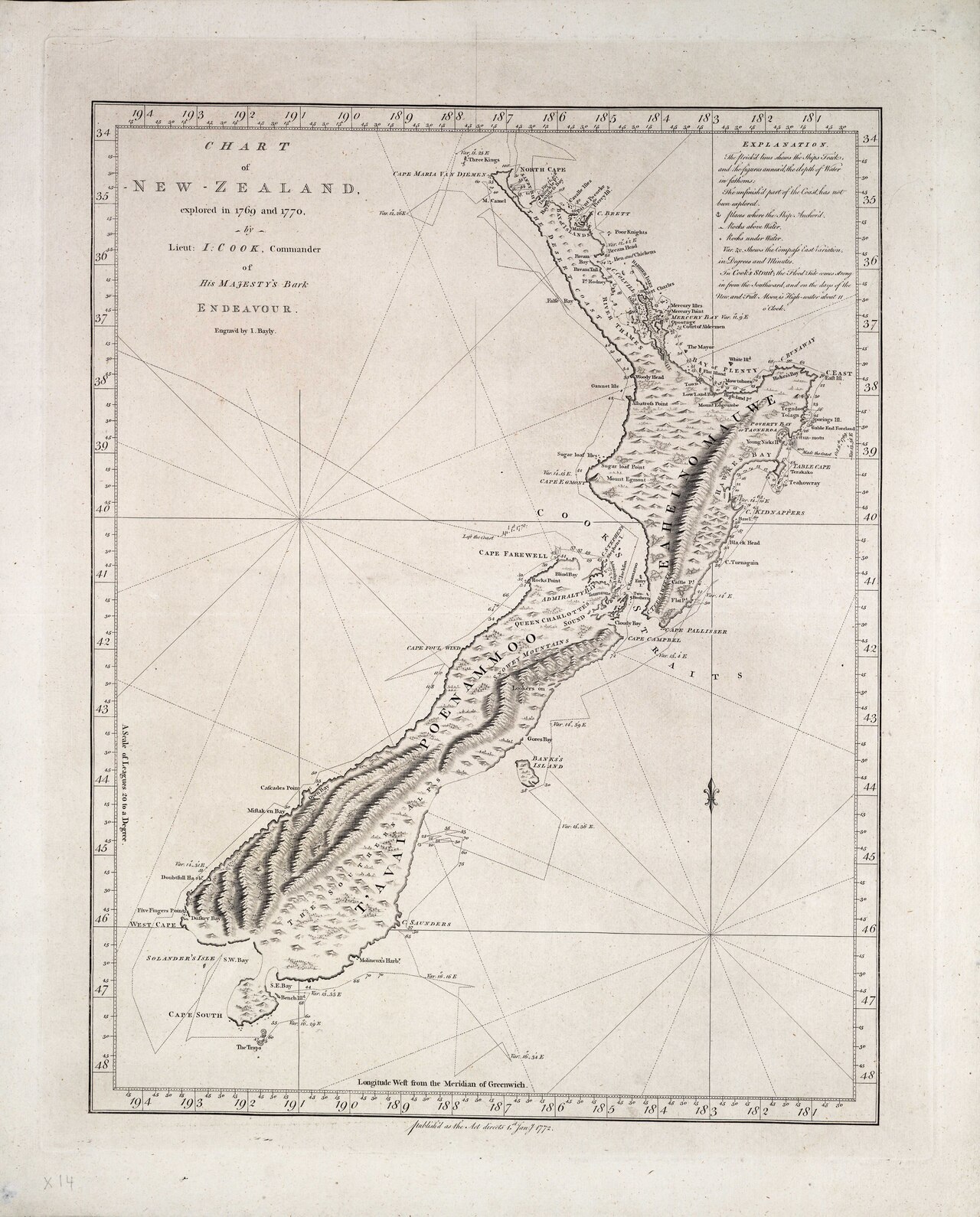
Chart of New Zealand, explored in 1769 and 1770
James Cook · 1770
Ready when you are
Start chatting with James Cook now.
20 messages free · No credit card · Available in 50+ languages.