


Primary sourcePainting1773
Coastal Views of Pacific Islands
James Cook · 1773
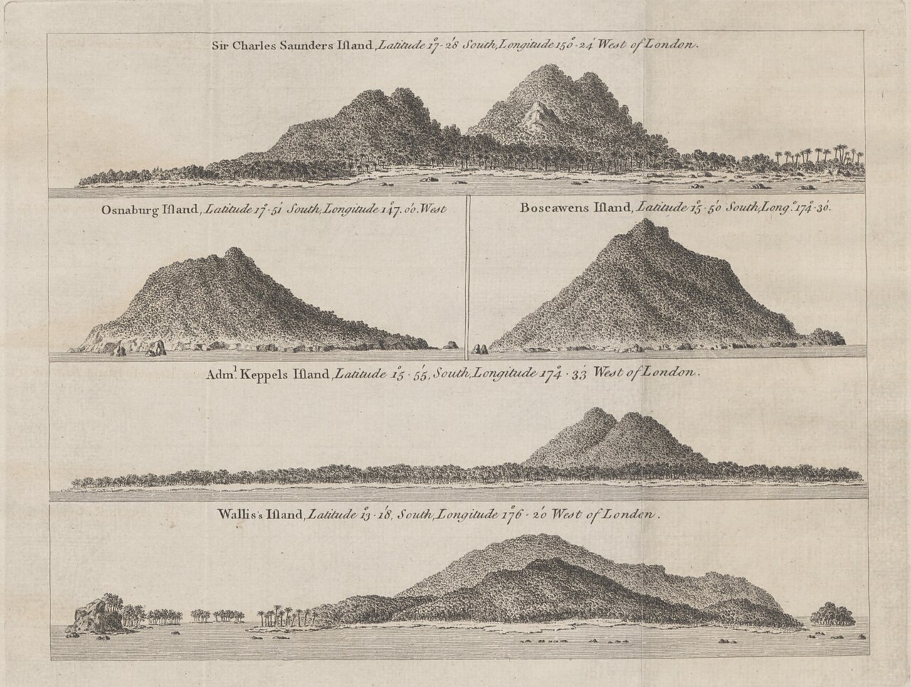
An engraving by Captain James Cook showing five coastal profiles of Pacific islands he charted during his voyage in 1773.
Cook himself drew these coastal profiles during his voyage, direct evidence of his work as a surveyor and observer.
About this source
What it is
This single engraved sheet shows five coastal views: Sir Charles Saunders Island, Osnaburg Island, Boscawens Island, Admiral Keppel's Island and Wallis Island. It was made by Captain James Cook in 1773 and printed for W. Strahan and T. Cadell in London.
Why it matters
Coastal profile drawings like these helped sailors recognize islands from a distance by their silhouette, a crucial navigational tool before satellite maps existed. This print shows Cook not only as a navigator but also as a skilled recorder of what he saw, contributing directly to how Europeans understood and travelled the Pacific.
Look closer
- Why would sailors need drawings of what an island looks like from the sea, rather than just a map from above?
- What details has Cook chosen to include, and what might he have left out?
- Why do these islands have English names given by Cook rather than names used by the people who lived there?
This painting is part of the curated material that grounds the AI version of James Cook on Humy.ai — when students ask about related events, the AI can quote it and cite it.
More James Cook sources
Meet the AI James Cook →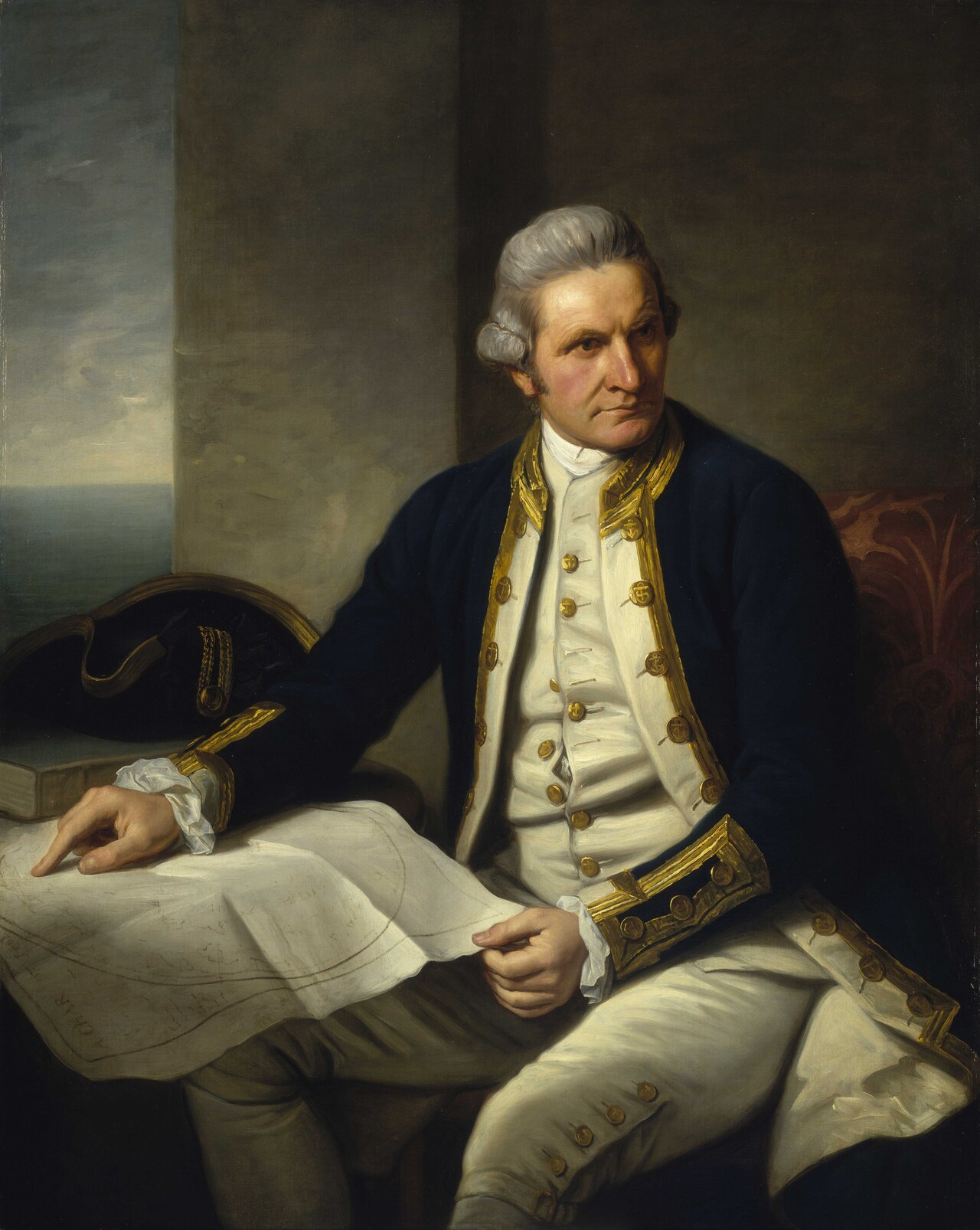 Painting
Primary source
Captain James Cook, 1728-79
Nathaniel Dance-Holland · c. 1775-1776
 Painting
Secondary source
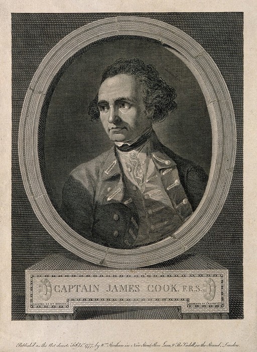
James Cook, line engraving by Basire after Hodges
William Hodges · 1777
 Document
Primary source
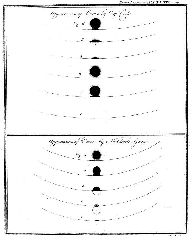
Sketchings of the 1769 Venus Transit
James Cook and Charles Green · 1769
 Painting
Primary source
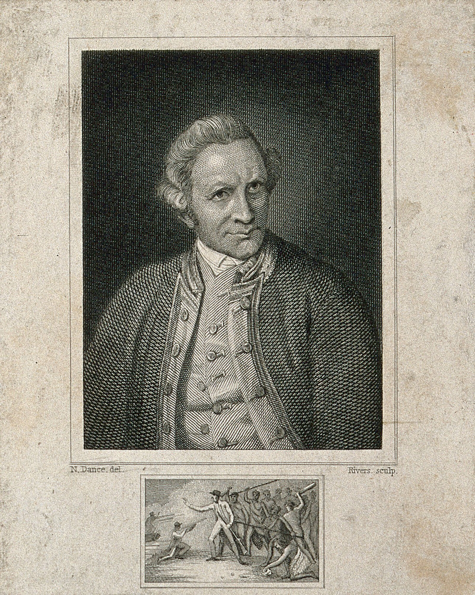
James Cook, engraving by Rivers after Dance-Holland
Nathaniel Dance-Holland · 1776
 Document
Primary source
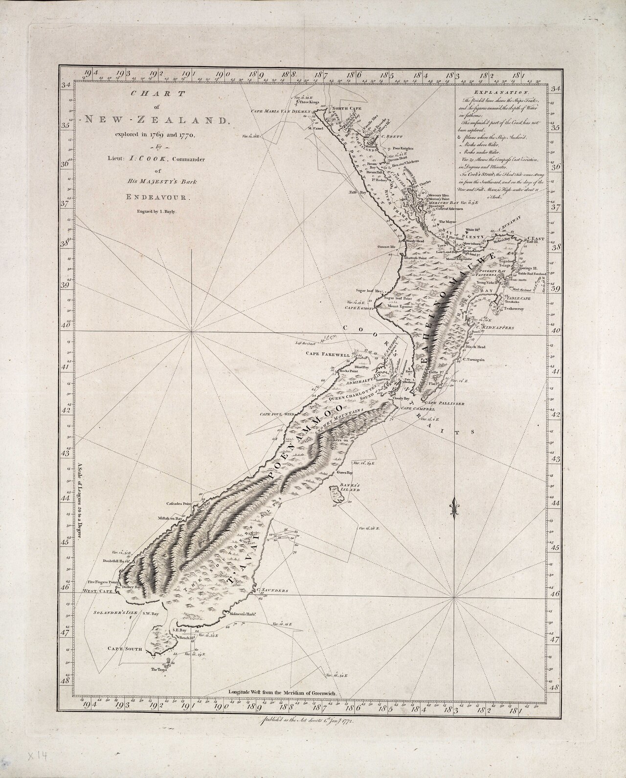
Chart of New Zealand, explored in 1769 and 1770
James Cook · 1770
Ready when you are
Start chatting with James Cook now.
20 messages free · No credit card · Available in 50+ languages.