


Primary sourceDocument1518
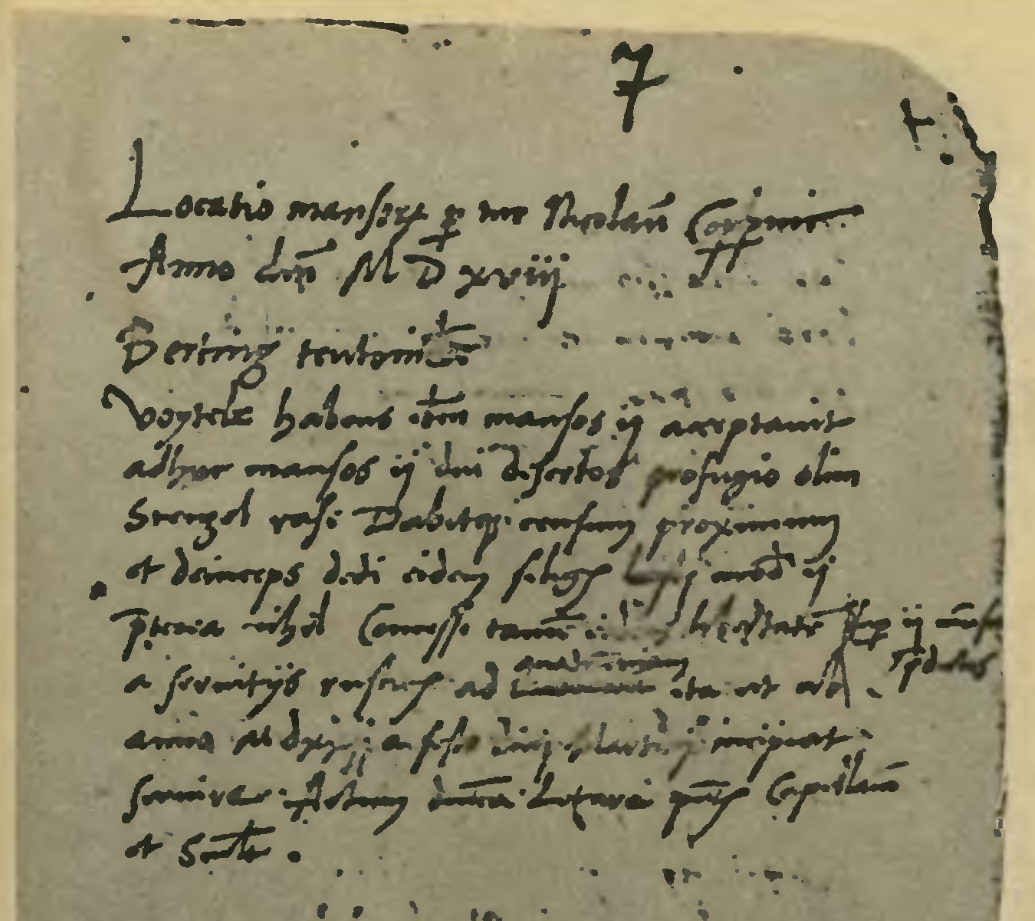
Copernicus's 1518 Location Record for Bartąg
Nicolaus Copernicus · 1518
A handwritten administrative record by Copernicus from 1518 documenting a land settlement near Bartąg.
Handwritten by Copernicus, this record documents his administrative work managing land in Warmia.
About this source
What it is
This is a page from a manuscript called Locationes mansorum desertorum, handwritten by Nicolaus Copernicus in 1518. It records the settlement (location) of land at Bartąg, part of his administrative duties in Warmia.
Why it matters
This document shows Copernicus's everyday work managing land and settlements as a church administrator, a role that occupied much of his life alongside his astronomical studies. It is a reminder that famous scientists often held demanding practical jobs.
Look closer
- What kind of information does a land-survey record need to include, and why?
- What does keeping such detailed records suggest about Copernicus's working habits?
- How does this document differ from the image most people have of Copernicus as purely an astronomer?
This document is part of the curated material that grounds the AI version of Nicolaus Copernicus on Humy.ai — when students ask about related events, the AI can quote it and cite it.
More Nicolaus Copernicus sources
Meet the AI Nicolaus Copernicus →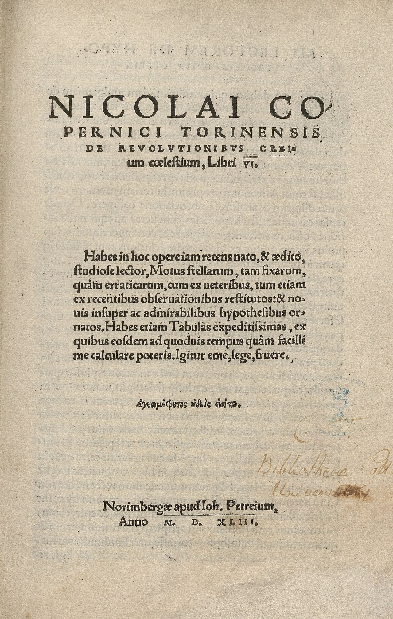 Book
Primary source
De revolutionibus orbium coelestium
Nicolaus Copernicus · 1543
 Painting
Secondary source
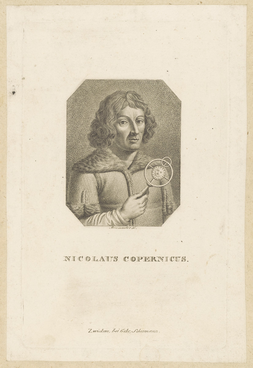
Portrait of Nicolaus Copernicus (Schumann print)
Gebrüder Schumann
 Artifact
Primary source
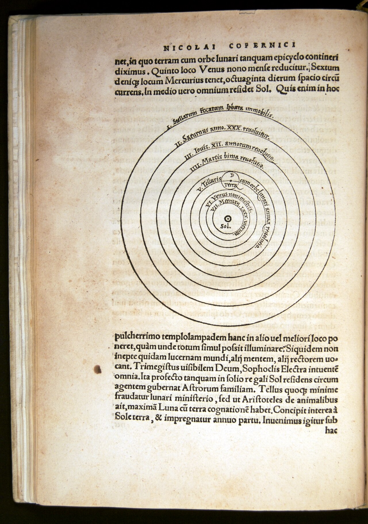
Copernicus's Diagram of the Planetary System
Nicolaus Copernicus · 1543
 Painting
Secondary source
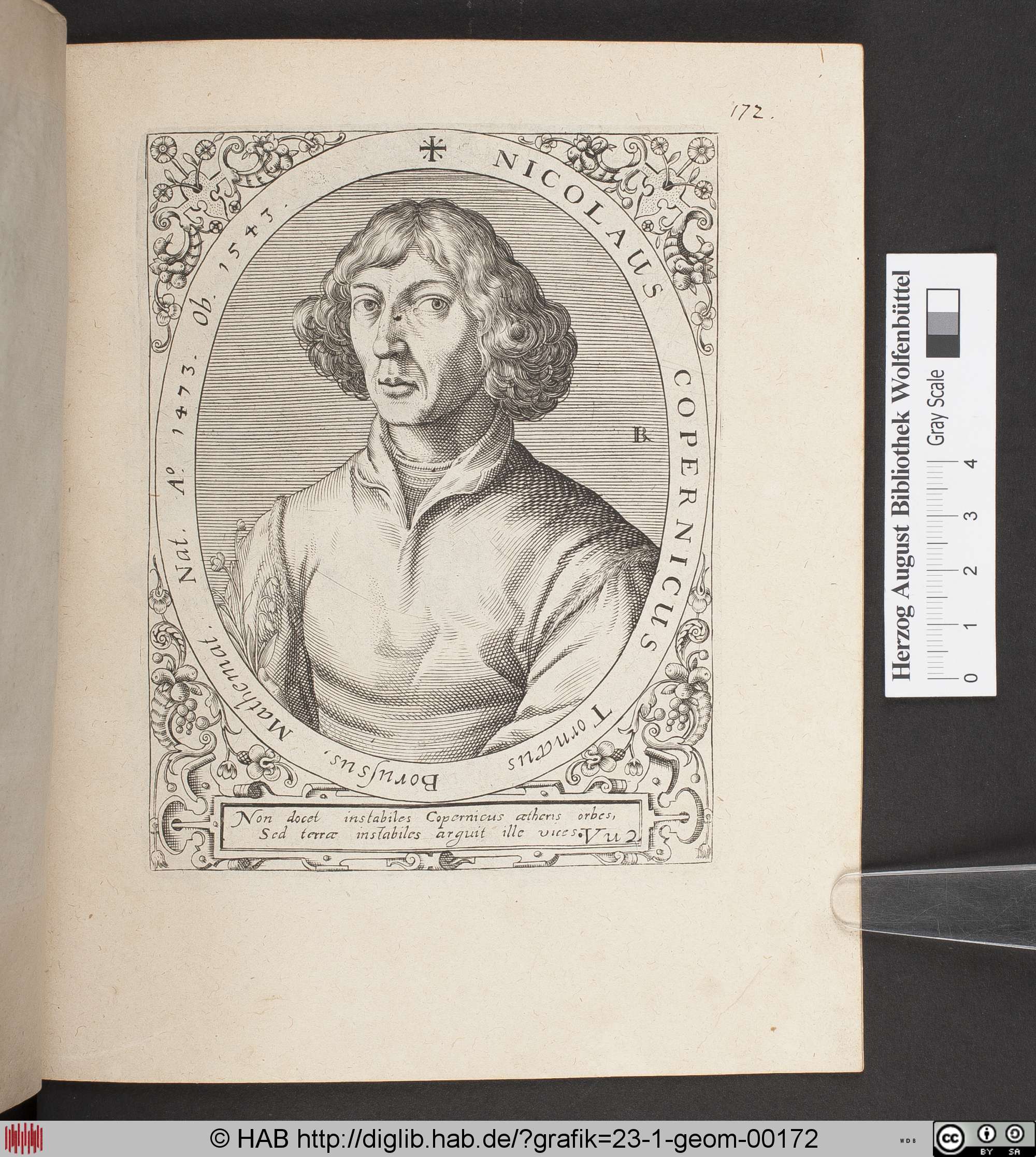
Engraved Portrait of Nicolaus Copernicus (Herzog August Library)
Unbekannt
 Painting
Secondary source
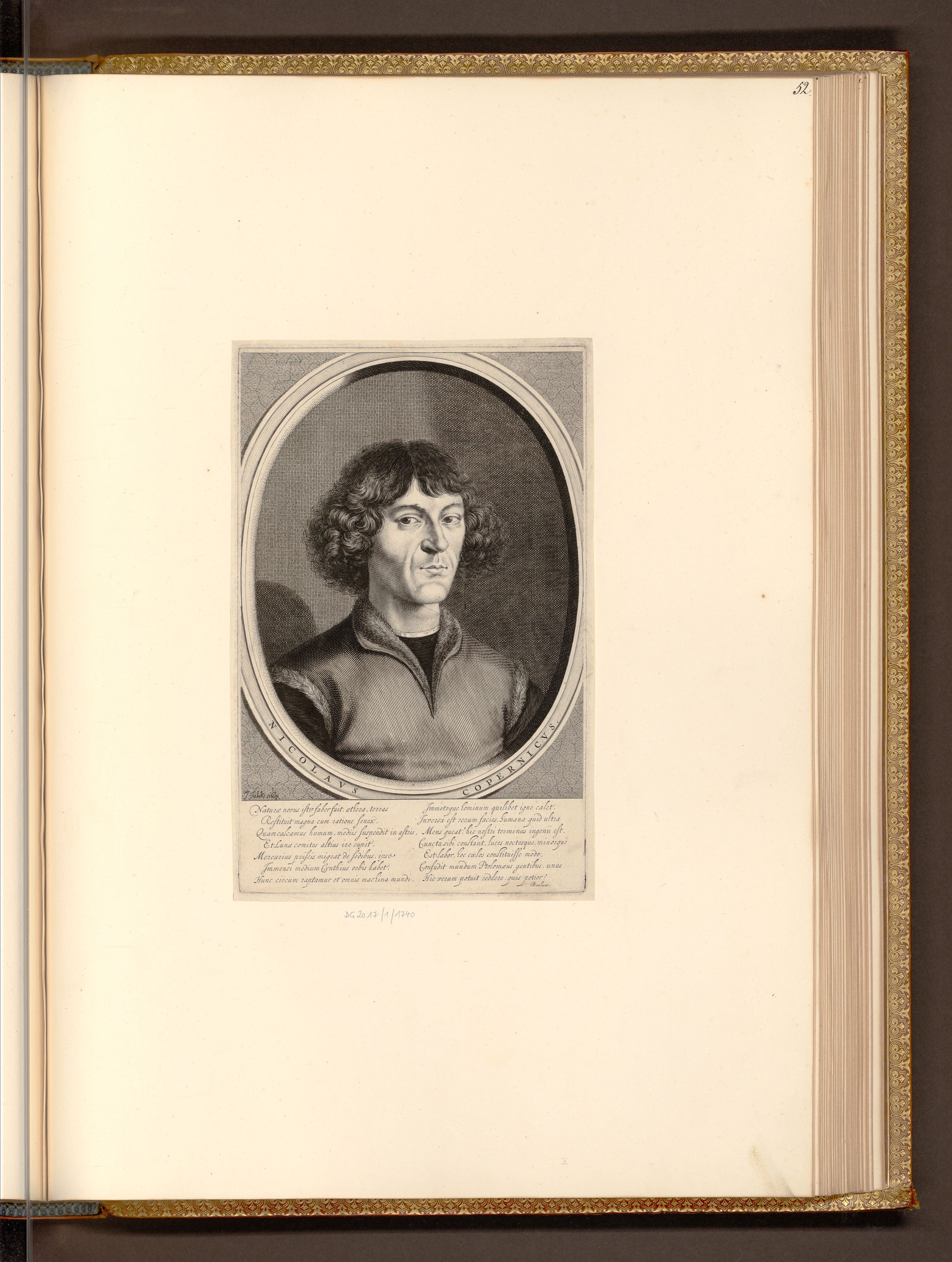
Portrait of Nicolaus Copernicus (Albertina Museum)
Ready when you are
Start chatting with Nicolaus Copernicus now.
20 messages free · No credit card · Available in 50+ languages.