


Primary sourceArtifact1389 (surviving copy later)
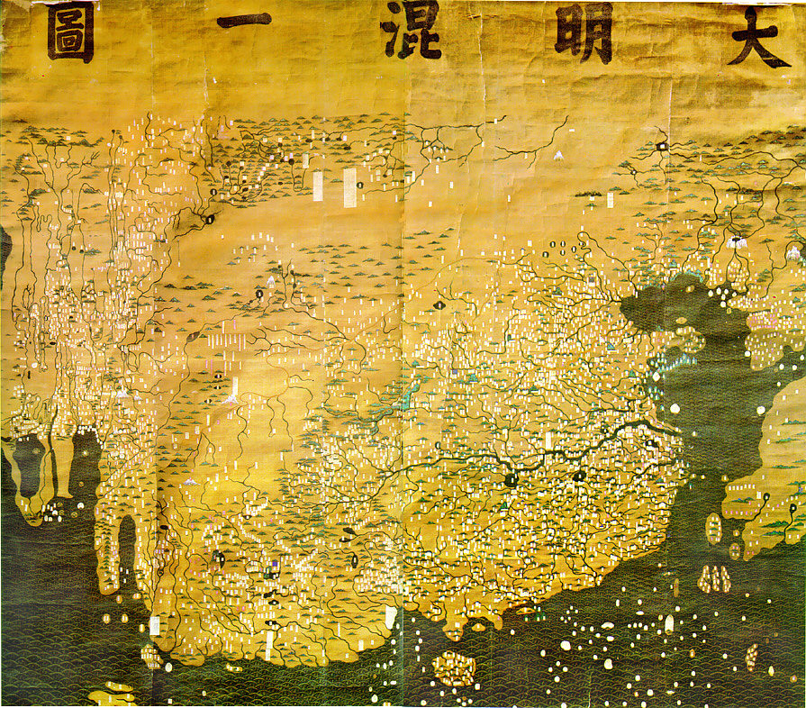
Da Ming Hun Yi Tu
1389 (surviving copy later)
A large Ming-dynasty silk world map, made under the Yongle Emperor's father, showing the geographic knowledge inherited by the Ming court.
Made under his father Hongwu, this map shows the geographic knowledge the Yongle court inherited for its voyages abroad.
About this source
What it is
Painted in colour on silk, this extensive Chinese world map places China at the centre and depicts Eurasia from Mongolia to Java and from Japan to Europe and East Africa. Its place names reflect the political situation of 1389, during the reign of the Hongwu Emperor, father of the Yongle Emperor, though the surviving copy shows later Manchu-era revisions.
Why it matters
The map shows how far Chinese cartographic knowledge of Africa, Europe and Central Asia had developed by the late 14th century, drawing on information that had spread across Eurasia during the Mongol era. This was the geographic picture the Ming court, including Yongle, inherited when planning later voyages and diplomacy abroad.
Look closer
- Why is China drawn so much larger and more detailed than other regions?
- What does the map's handling of Africa and Europe tell you about which information traveled furthest to China?
- How can later relabeling (the Manchu slips) change how we read an older map?
This artifact is part of the curated material that grounds the AI version of Yongle Emperor on Humy.ai — when students ask about related events, the AI can quote it and cite it.
More Yongle Emperor sources
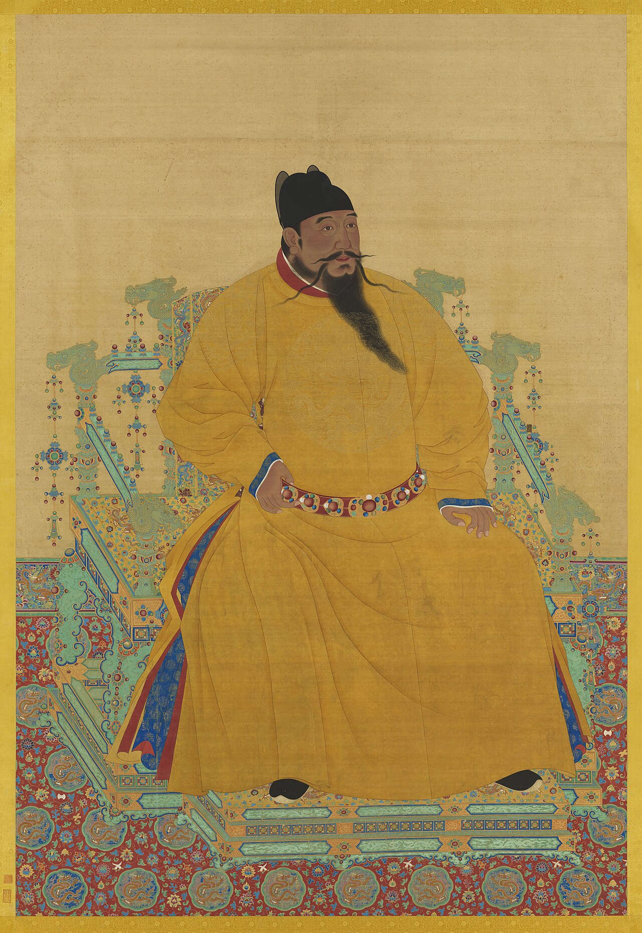
Meet the AI Yongle Emperor →
Ready when you are
Start chatting with Yongle Emperor now.
20 messages free · No credit card · Available in 50+ languages.