


Secondary sourceDocumentc. 1543
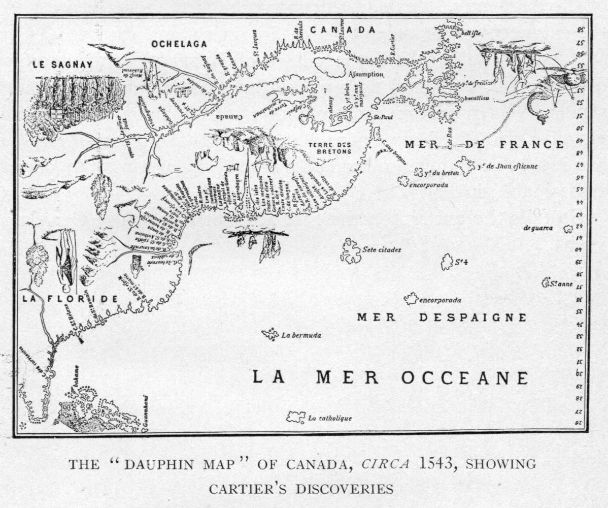
Dauphin Map of Canada
c. 1543
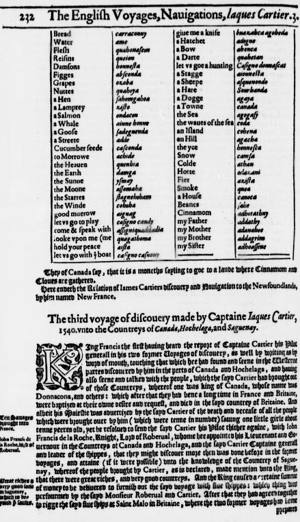
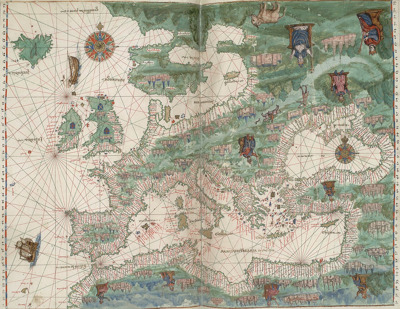
An early map of the St. Lawrence region based on Cartier's now-lost charts, showing how his discoveries were understood by contemporaries.
This map records Cartier's discoveries along the St. Lawrence as understood by his contemporaries, based on his lost charts.
About this source
What it is
This is a map from around 1543, part of the Dieppe school of French mapmaking, showing the coastline and rivers of what the French called Canada. It is based on charts made during Cartier's voyages, though his original charts no longer survive.
Why it matters
The map shows place names such as Canada, Hochelaga and Saguenay, recording how Cartier's explorations were turned into geographic knowledge used by sailors and officials in France. It reveals how European mapmakers combined explorers' reports with decoration and guesswork to fill unknown spaces.
Look closer
- What do the place names tell you about who gave names to the land?
- Why might the map include sea monsters and decorative ships?
- What parts of the coastline might be guesswork rather than accurate surveying?
This document is part of the curated material that grounds the AI version of Jacques Cartier on Humy.ai — when students ask about related events, the AI can quote it and cite it.
More Jacques Cartier sources
Browse all 91 →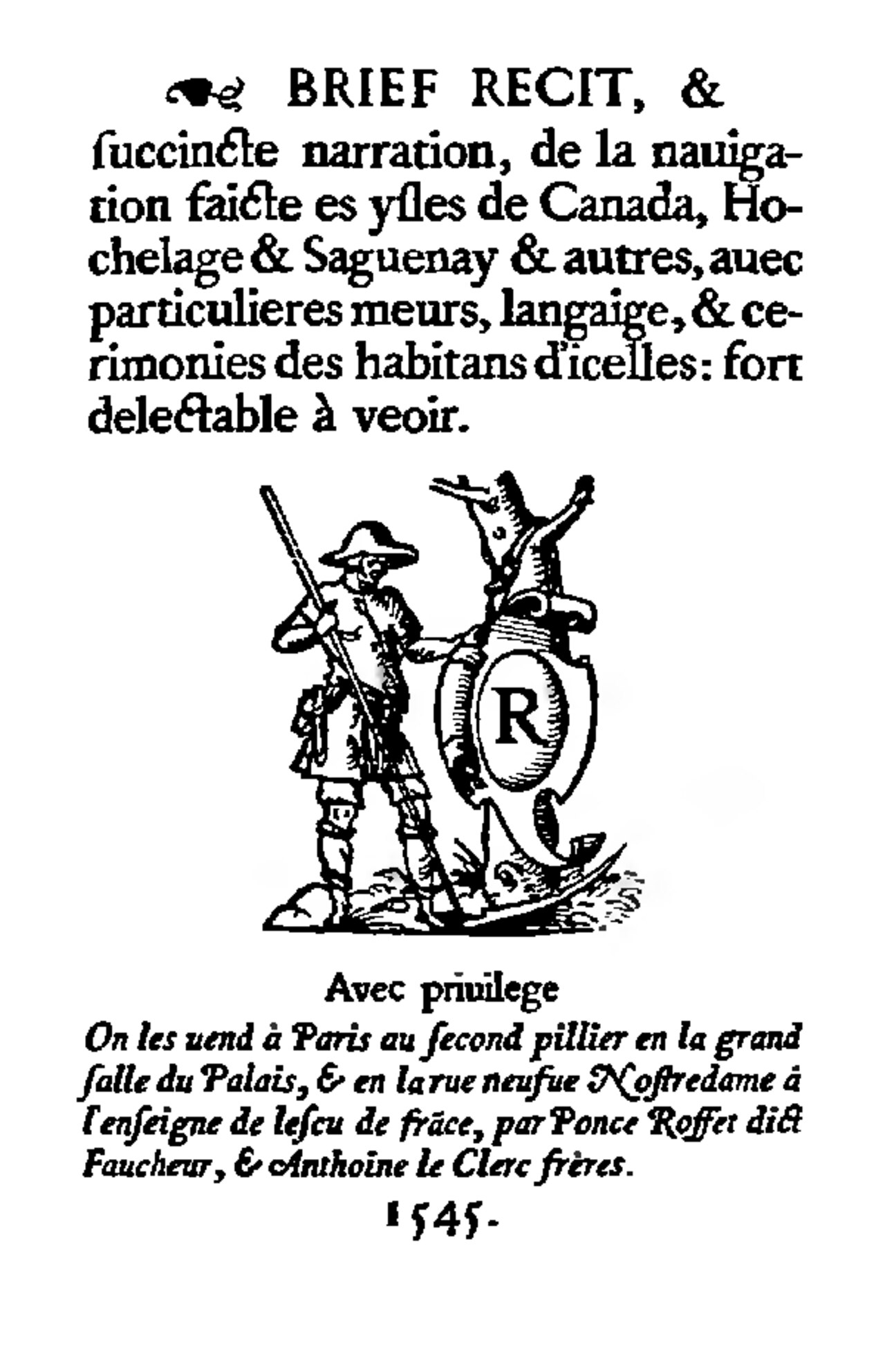 Book
Primary source
Brief recit de la navigation faicte es ysles de Canada
Jacques Cartier · 1545
 Document
Primary source
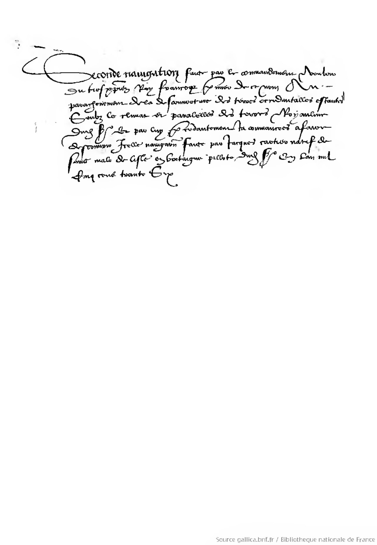
Seconde Navigation
Jacques Cartier · 1535-1536
 Document
Primary source
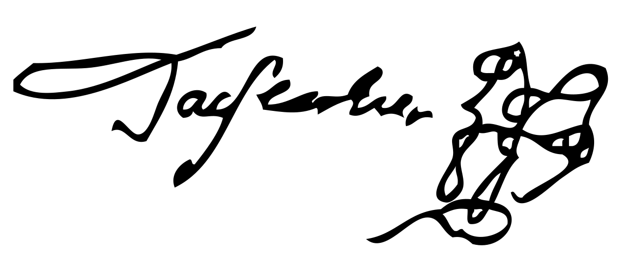
Signature of Jacques Cartier
Jacques Cartier
 Book
Secondary source
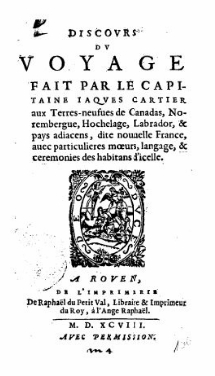
Discours du Voyage fait par le Capitaine Iaques Cartier
Unknown companion of Jacques Cartier · 1598
Free account
Browse every Jacques Cartier source
Sign up free →
Ready when you are
Start chatting with Jacques Cartier now.
20 messages free · No credit card · Available in 50+ languages.