


Primary sourcePainting1611
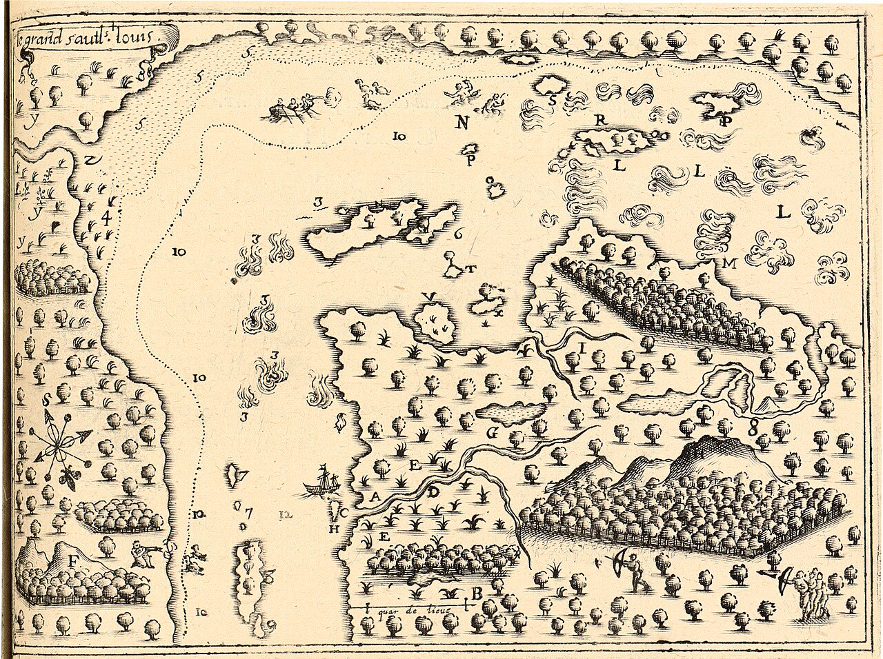
Drawing of Sault St-Louis and Montreal
Samuel de Champlain · 1611
Champlain's own 1611 drawing of the Lachine Rapids and the area that became Montreal.
Champlain's own firsthand drawing of the land he explored near Montreal.
About this source
What it is
This is a drawing made by Samuel de Champlain in May 1611, showing the Lachine Rapids, labeled 'Le grand sault st Louis', and the area near present-day Montreal.
Why it matters
As a firsthand record of the land Champlain explored, the drawing shows how he observed and mapped rivers, islands and waterways important to French exploration and later settlement. It reflects his skills as a surveyor and the importance of rivers for travel and trade.
Look closer
- What details did Champlain choose to record, such as depths or landmarks?
- Who might have helped Champlain gather information for this drawing?
- What is missing from this drawing that a modern map would include?
This painting is part of the curated material that grounds the AI version of Samuel de Champlain on Humy.ai — when students ask about related events, the AI can quote it and cite it.
More Samuel de Champlain sources
Meet the AI Samuel de Champlain → Book
Primary source
Les Voyages du sieur de Champlain
Samuel de Champlain · 1613
 Document
Primary source
Carte geographique de la Nouvelle Franse
Samuel de Champlain · 1612
 Book
Primary source
Des Sauvages, ou voyage de Samuel Champlain
Samuel de Champlain · 1603
 Document
Primary source
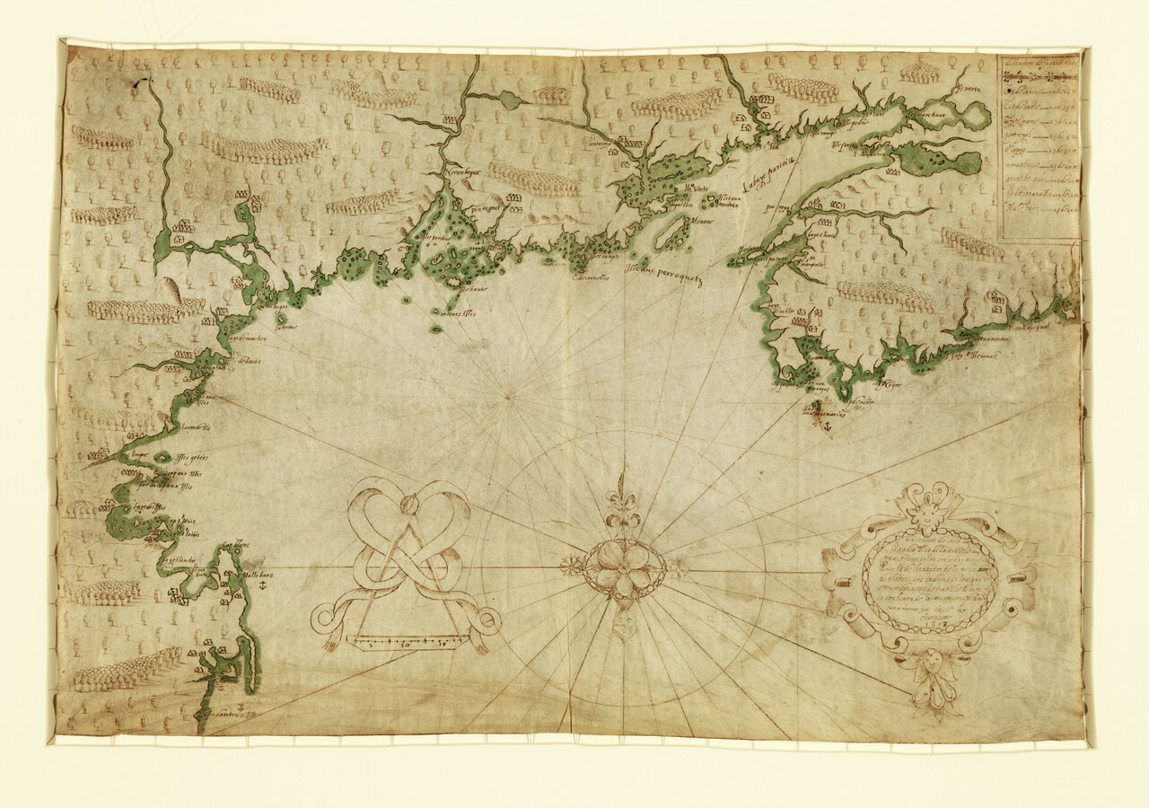
Descripsion des costs, pts., rades, Illes de la Nouuele France
Samuel de Champlain · 1607
 Document
Primary source
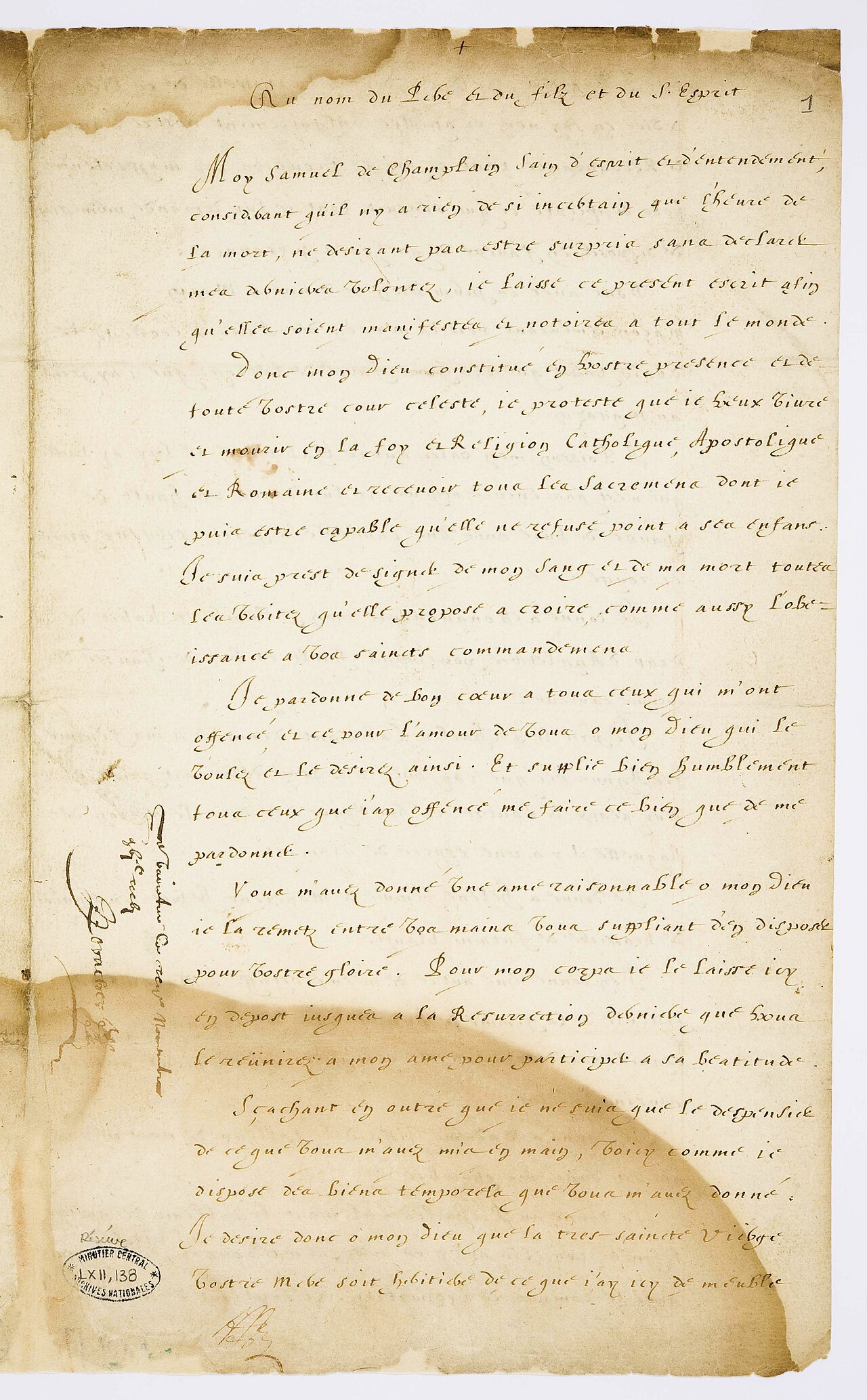
Testament de Samuel Champlain
Samuel de Champlain · 17 November 1635
Ready when you are
Start chatting with Samuel de Champlain now.
20 messages free · No credit card · Available in 50+ languages.