


Primary sourceDocument1845–1865
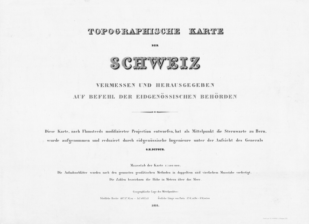
Dufour Map
Guillaume Henri Dufour / Federal Topographic Bureau · 1845–1865
The first official, systematically surveyed map of Switzerland at 1:100,000 scale, directed by Dufour from 1845 to 1864.
Dufour directed the survey and publication of this map, the defining achievement of his career as a topographer.
Free Humy account · No credit card · 53,307 sources to read
About this source
What it is
This is the title page of the Topographische Karte der Schweiz, known as the Dufour Map, the first official map of Switzerland, measured and published on the orders of the federal authorities under the direction of Guillaume-Henri Dufour between 1845 and 1864. It is held today by swisstopo and the Swiss National Library.
Why it matters
Dufour, who had been commissioned by the Federal Diet to oversee land surveying, founded the topographic office that produced this map, based on new cantonal measurements. It became famous for its detailed hachured relief and was completed around the time Switzerland was becoming a modern federal state after the Sonderbund War.
Look closer
- What information does the title page tell you about who made the map and under what authority?
- Why might a young federal state need an accurate map of its whole territory?
- What does the care taken over the map's title page suggest about how important this project was considered?
This document is part of the curated material that grounds the AI version of Guillaume Henri Dufour on Humy.ai — when students ask about related events, the AI can quote it and cite it.
More Guillaume Henri Dufour sources
Browse all 97 →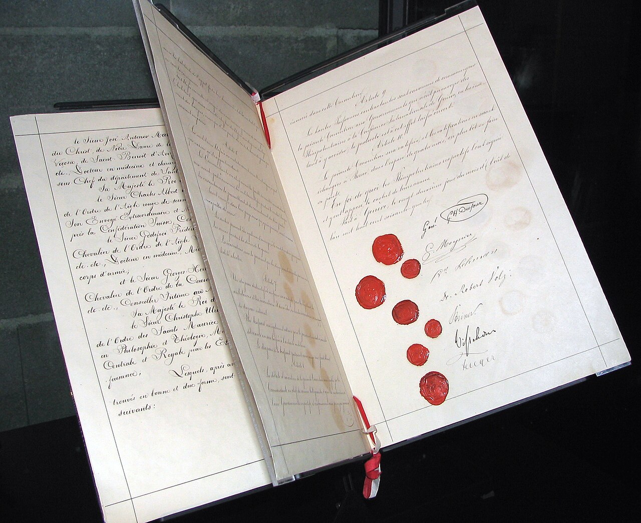 Document
Primary source
Geneva Convention of 1864
1864
 Artifact
Secondary source
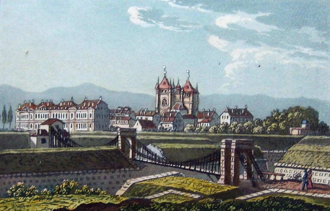
Passerelle de Saint-Antoine
1823
 Photograph
Primary source
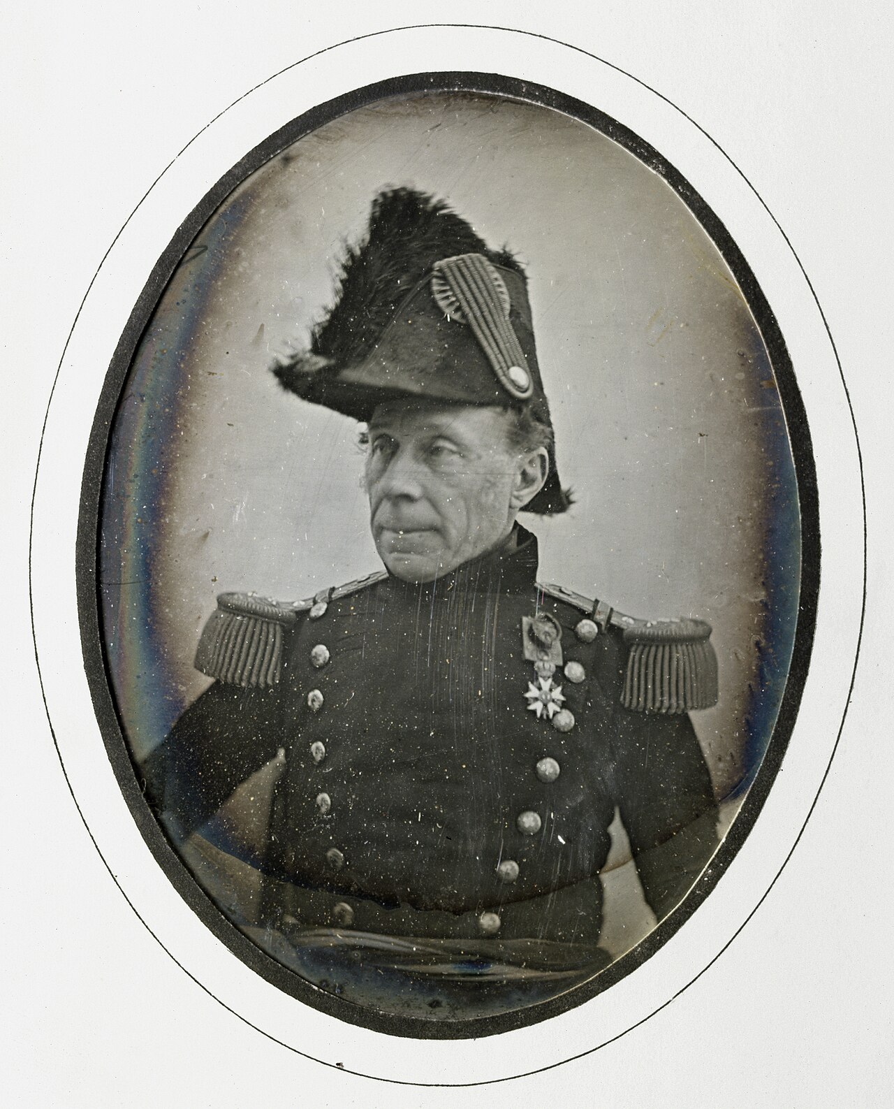
Daguerreotype Portrait of Guillaume Henri Dufour
Jean de Humnicki · c. 1850
 Photograph
Primary source
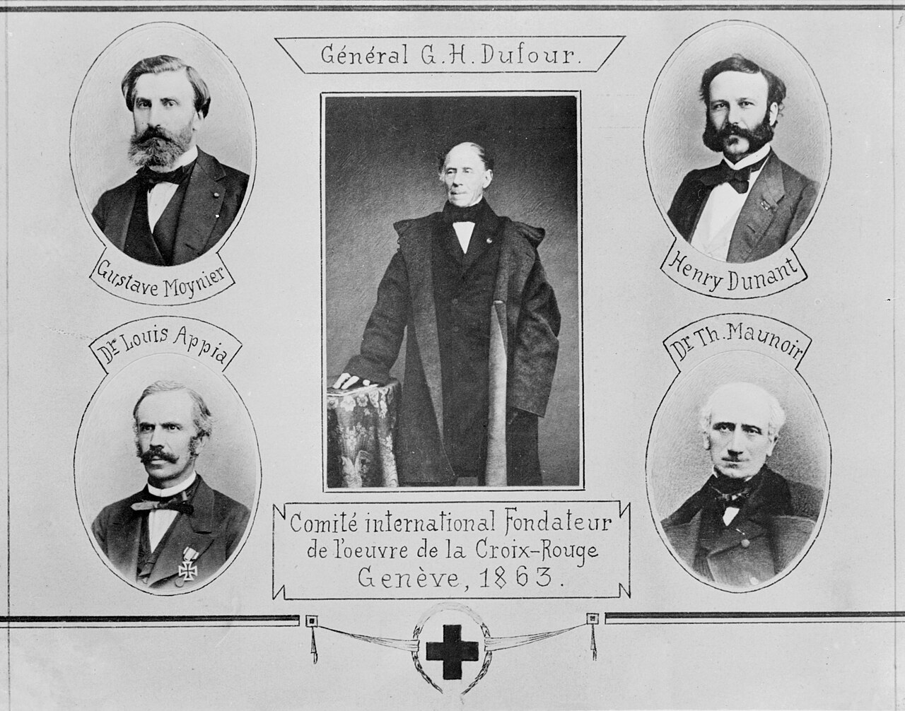
Committee of the Five
ICRC Audiovisual archives · 1863
Free account
Browse every Guillaume Henri Dufour source
Sign up free →
Ready when you are
Start chatting with Guillaume Henri Dufour now.
20 messages free · No credit card · Available in 50+ languages.