


Primary sourceDocument1813
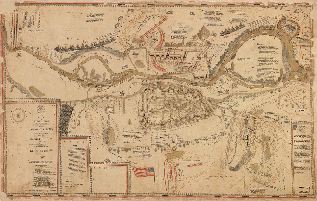
Fort Meigs
Eleazer D. Wood · 1813
A fortification on the Maumee River built in 1813 under William Henry Harrison's command, which withstood two British and Native American sieges.
Harrison commissioned and commanded this fort, which became central to his military reputation in the War of 1812.
About this source
What it is
Fort Meigs was a fortification built in 1813 on the Maumee River under the command of William Henry Harrison, with construction led by engineer Eleazer D. Wood. It was named after Ohio Governor Return J. Meigs Jr. The present fort is a reconstruction, and it is cared for by the Ohio History Connection.
Why it matters
Harrison built the fort as his base during the War of 1812, using it to resist attacks by British forces and allied Native American warriors led by Tecumseh. The fort withstood two sieges, making it an important symbol of American military resistance in the war and a key part of Harrison's reputation as a military leader.
Look closer
- Why might a star-shaped design have been chosen for the fort's earthworks?
- What does the map's legend and labeling tell you about who made it and for what purpose?
- What is missing from a battle plan map that a diary or letter might include?
This document is part of the curated material that grounds the AI version of William Henry Harrison on Humy.ai — when students ask about related events, the AI can quote it and cite it.
More William Henry Harrison sources
Meet the AI William Henry Harrison →Primary source
Inaugural Address of William Henry Harrison
William Henry Harrison · 4 March 1841
 Document
Primary source
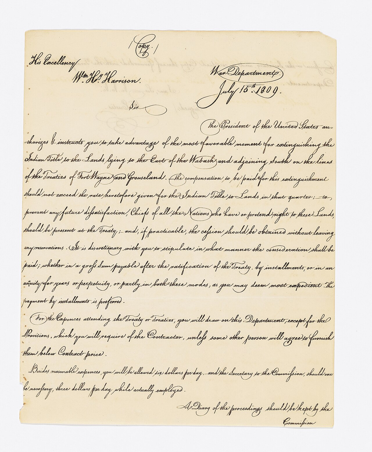
Treaty of Fort Wayne
1809
 Painting
Primary source
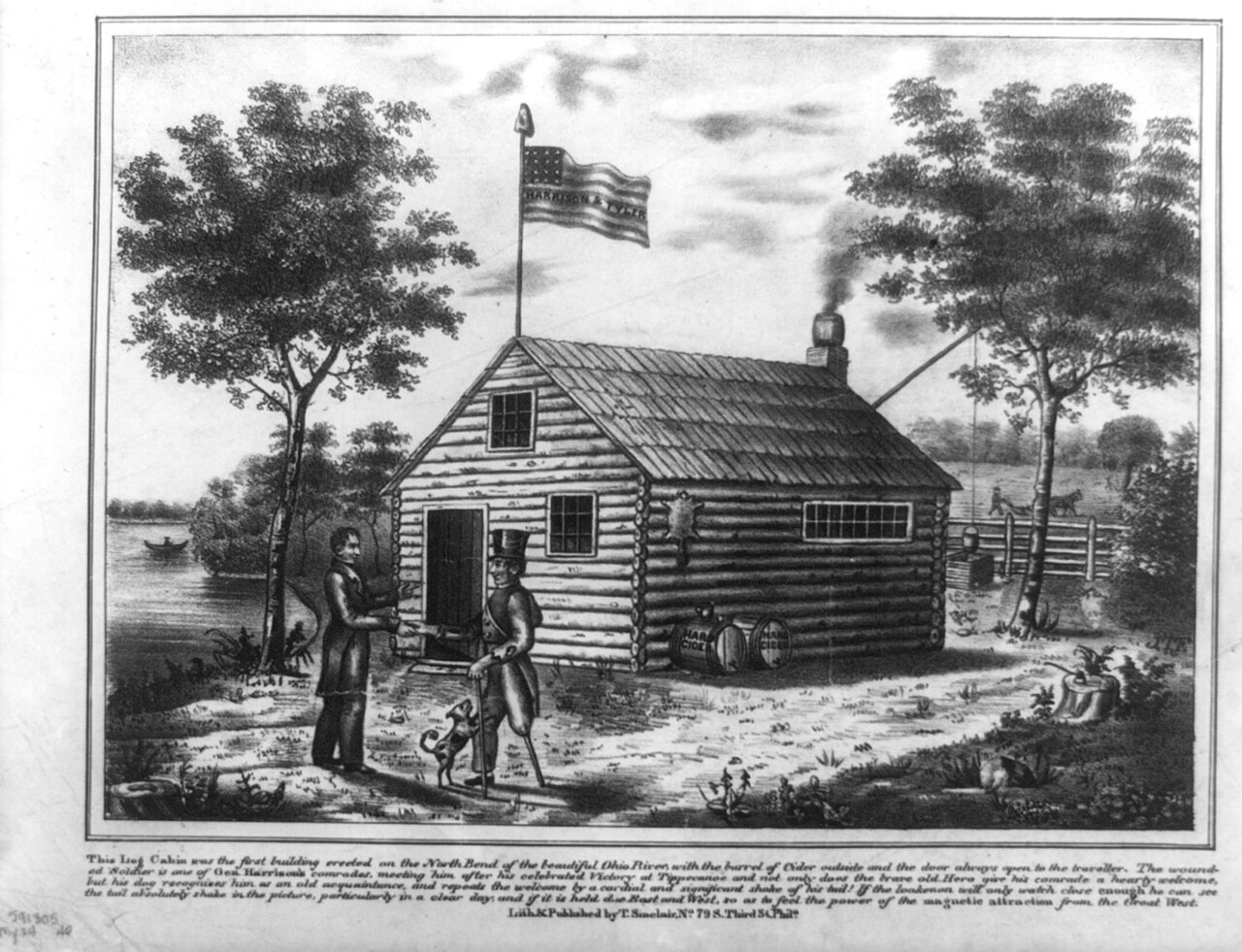
Harrison at cabin on North Bend of Ohio
Thomas Sinclair · 1840
 Document
Primary source
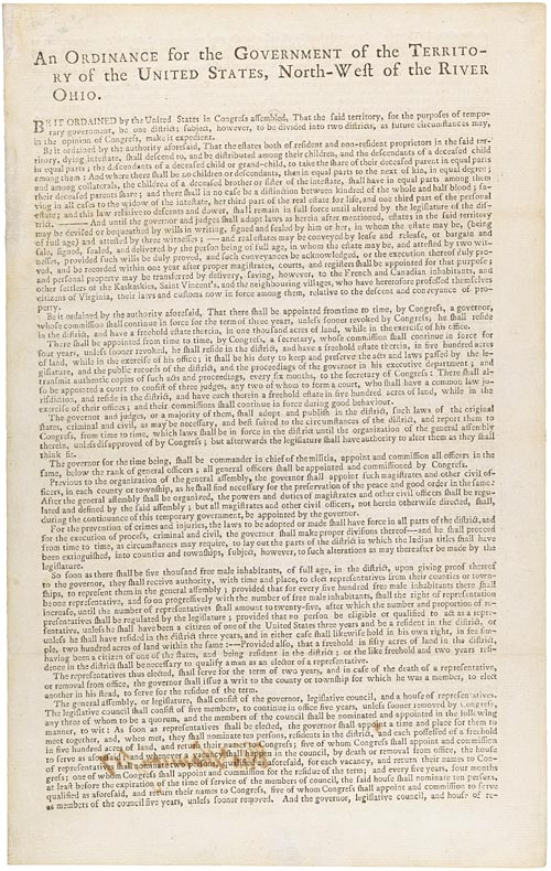
Northwest Ordinance
Confederation Congress · 13 July 1787
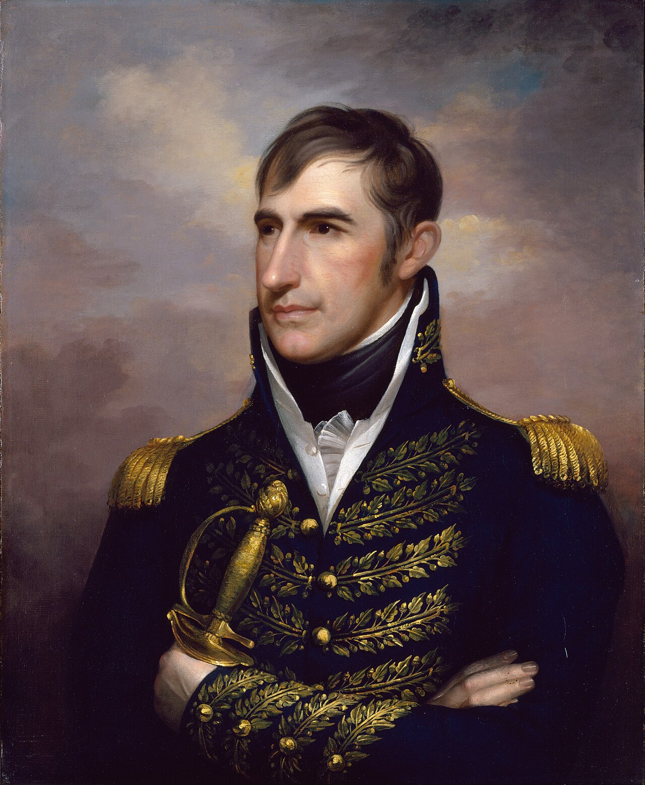 Painting
Primary source
William Henry Harrison
Rembrandt Peale · 1813
Ready when you are
Start chatting with William Henry Harrison now.
20 messages free · No credit card · Available in 50+ languages.