


Primary sourceArtifact1402
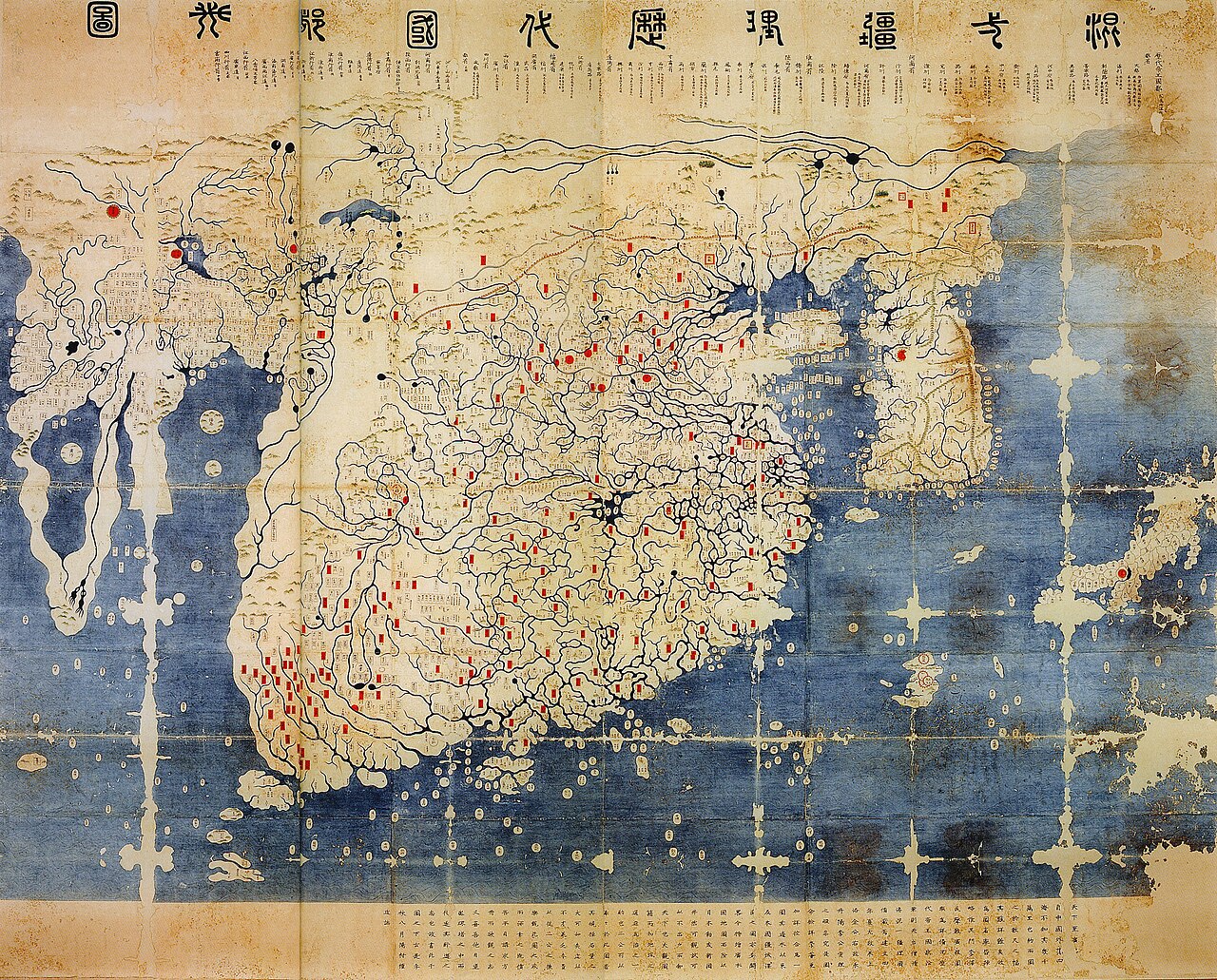
Kangnido
Kwon Kun and Yi Hoe · 1402
A 1402 Korean world map showing East Asian geographic knowledge of Africa and Eurasia from the year the Yongle Emperor seized power.
Made the year the Yongle Emperor seized the throne, this map reflects the geographic knowledge framing his era's foreign policy.
About this source
What it is
Completed in 1402 by Korean scholars Kwon Kun and Yi Hoe, this map combines Chinese source maps with new depictions of Korea and Japan. It is the oldest surviving Korean world map; two later-modified copies survive today in Japan.
Why it matters
The map reflects knowledge gathered across the Mongol-era exchange network, including information from Islamic geographers about Africa and Europe. Made the same year the Yongle Emperor took the Ming throne, it shows the wider world picture that framed Ming diplomacy and later voyages. It also reveals how Korean mapmakers balanced Chinese sources against their own knowledge.
Look closer
- Why might Korea and Japan appear differently sized or placed than you'd expect?
- What does the map's accuracy (or inaccuracy) tell you about what information traveled furthest?
- Whose knowledge and priorities shaped which places were drawn in detail?
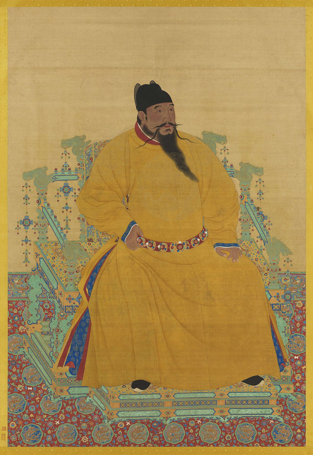
This artifact is part of the curated material that grounds the AI version of Yongle Emperor on Humy.ai — when students ask about related events, the AI can quote it and cite it.
More Yongle Emperor sources
Meet the AI Yongle Emperor →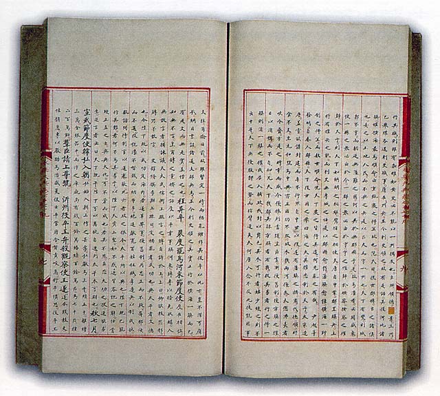
Ready when you are
Start chatting with Yongle Emperor now.
20 messages free · No credit card · Available in 50+ languages.