


Primary sourceDocumentbegun 1644
Kuniezu
begun 1644
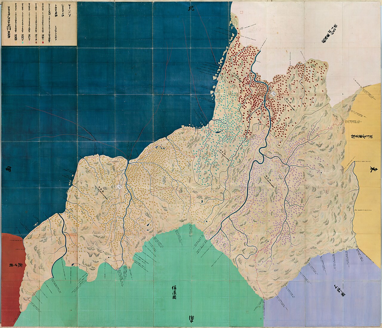
A series of detailed provincial land maps of Japan, ordered by Iemitsu's government to record and control the daimyo domains.
Iemitsu's government ordered this nationwide mapping project in 1644 to centralize control over the provinces.
About this source
What it is
The kuniezu were provincial land maps that the Tokugawa shogunate ordered every province to produce. Work on the earliest set, the Shōhō Kuniezu, began in 1644 under Iemitsu's government. Later sets followed in later periods. The maps recorded mountains, rivers, roads, villages, rice yields, and the names of local lords.
Why it matters
Commissioning these maps shows Iemitsu's drive to centralize control over Japan's many daimyo domains by documenting them in detail. This kind of record-keeping was a tool of government power, letting the shogunate monitor resources and territory across the whole country.
Look closer
- What kinds of information did the mapmakers choose to record, and what does that suggest about the government's priorities?
- Why would a ruler want this level of detail about every province?
- What is missing from a map like this that a resident of the area might know?
This document is part of the curated material that grounds the AI version of Tokugawa Iemitsu on Humy.ai — when students ask about related events, the AI can quote it and cite it.
More Tokugawa Iemitsu sources
Browse all 71 →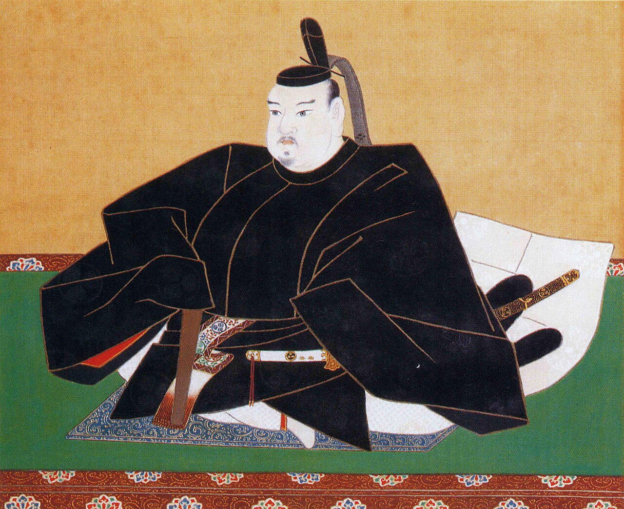
Ready when you are
Start chatting with Tokugawa Iemitsu now.
20 messages free · No credit card · Available in 50+ languages.