


Primary sourcePainting1607
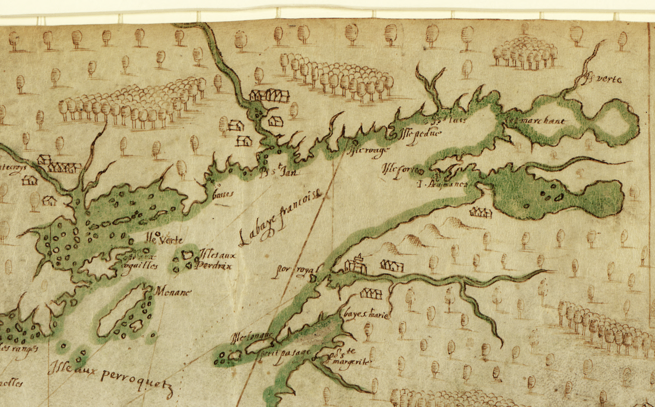
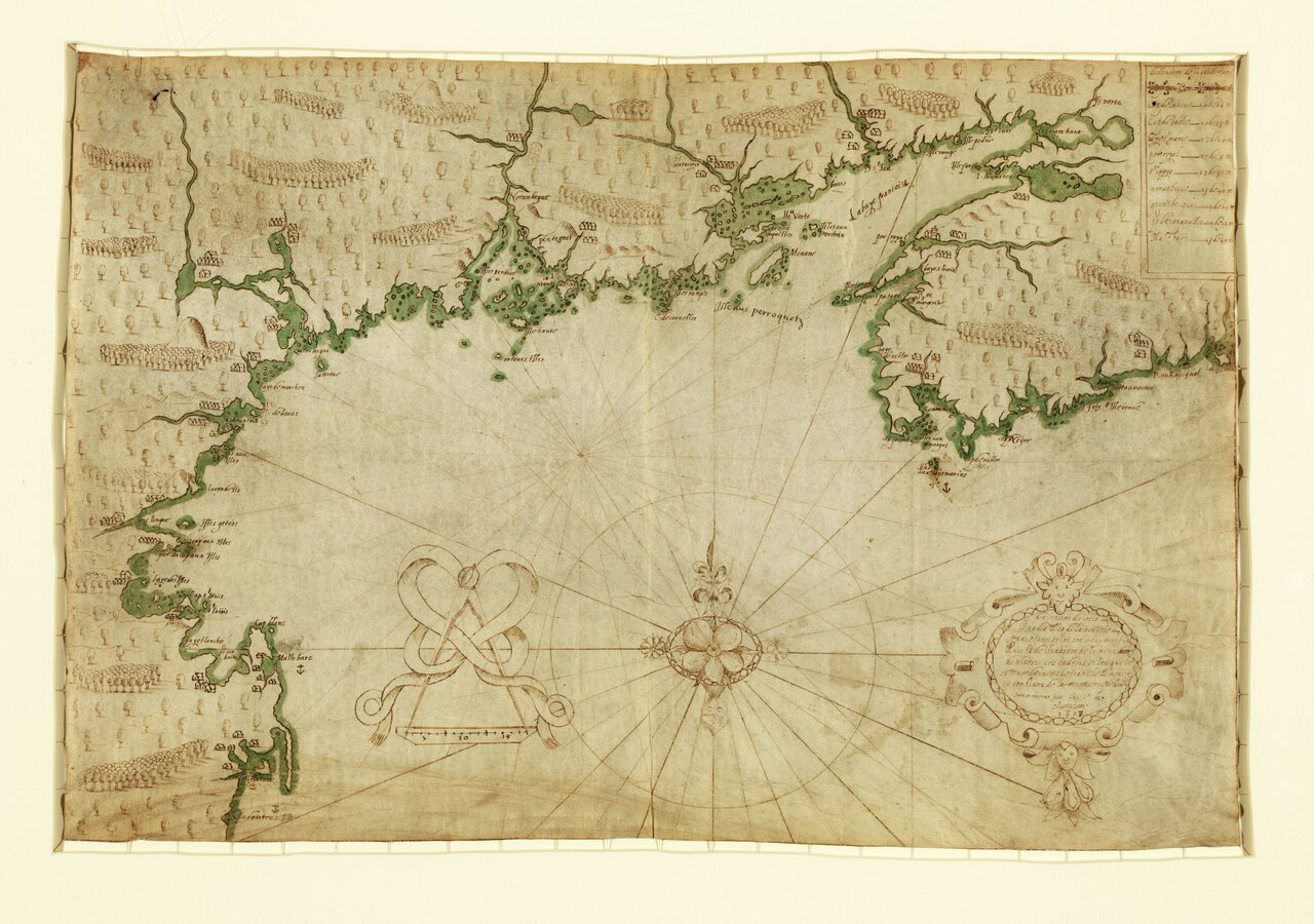
La baye françoise
Samuel de Champlain · 1607
A detail from Champlain's own 1607 vellum chart, an early and detailed survey of the New England and Canadian coast.
A detail from Champlain's own hand-drawn chart, showing his skill as a surveyor and mapmaker.
About this source
What it is
This is a detail of a portolan-style chart drawn by Samuel de Champlain on vellum in 1607, showing Port-Royal and the Baie Françoise (Bay of Fundy). Champlain designed and drew the chart himself, based on his own surveying, observations, and conversations with Native peoples.
Why it matters
The chart is considered one of the great cartographic treasures of early America, offering the first detailed outline of the New England and Canadian coasts. Its place names and coastline closely match Champlain's written account in his 1613 book Voyages. The map shows both French settlements and Indigenous villages along the coast, reflecting the shared landscape of the region.
Look closer
- What symbols did Champlain use to mark hills, shallow waters, or anchorage points?
- How did Champlain gather the information needed to make such a detailed chart?
- What does the map reveal about the presence of Indigenous peoples in the area Champlain was surveying?
This painting is part of the curated material that grounds the AI version of Samuel de Champlain on Humy.ai — when students ask about related events, the AI can quote it and cite it.
More Samuel de Champlain sources
Meet the AI Samuel de Champlain →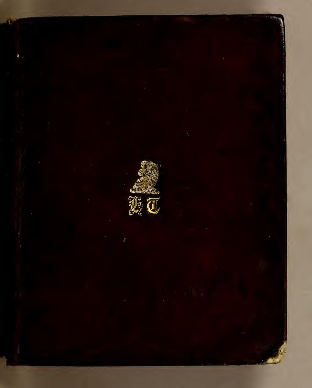 Book
Primary source
Les Voyages du sieur de Champlain
Samuel de Champlain · 1613
 Document
Primary source
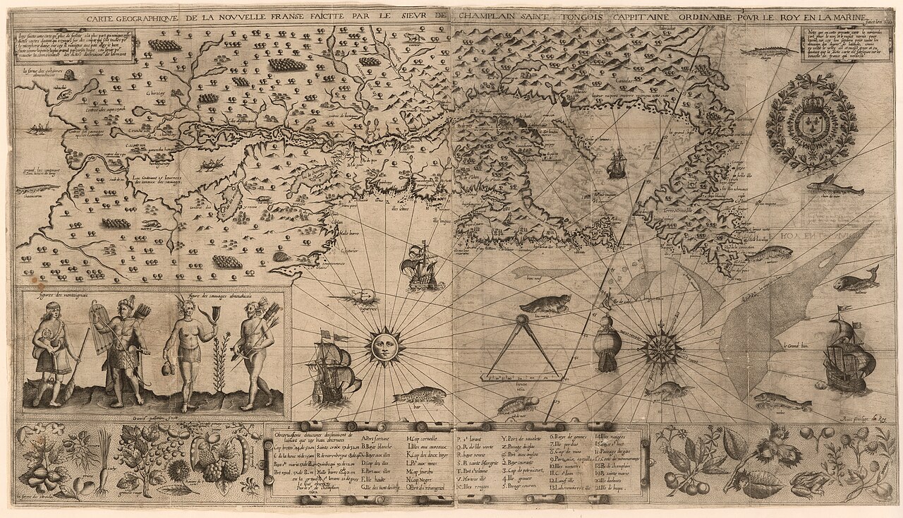
Carte geographique de la Nouvelle Franse
Samuel de Champlain · 1612
 Book
Primary source
Des Sauvages, ou voyage de Samuel Champlain
Samuel de Champlain · 1603
 Document
Primary source
Descripsion des costs, pts., rades, Illes de la Nouuele France
Samuel de Champlain · 1607
 Document
Primary source
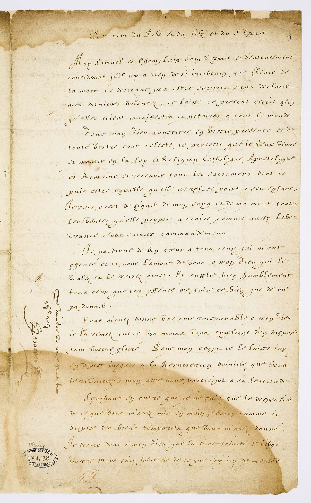
Testament de Samuel Champlain
Samuel de Champlain · 17 November 1635
Ready when you are
Start chatting with Samuel de Champlain now.
20 messages free · No credit card · Available in 50+ languages.