


Primary sourceArtifactc. 542-570
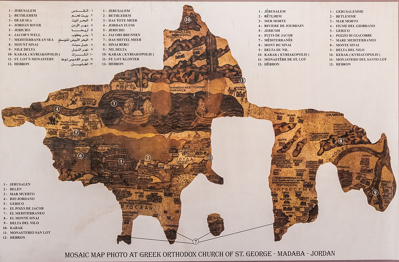
Madaba Map
Unknown artists · c. 542-570
A 6th-century mosaic map of the Holy Land, made during Justinian's reign, showing Jerusalem with his newly built Nea Church.
This contemporary mosaic map shows Jerusalem with the Nea Church that Justinian built and endowed.
About this source
What it is
The Madaba Map is a floor mosaic in the Byzantine church of Saint George in Madaba, Jordan, dating to the sixth century. It shows the region from Lebanon to the Nile Delta, with Jerusalem at its centre, including the New Church of the Theotokos (the Nea), which Justinian had built.
Why it matters
Because the map includes the Nea Church, which was dedicated in 542, it dates from Justinian's era and gives a rare contemporary picture of how Jerusalem looked under his rule. It helps historians understand how Christian topography and pilgrimage sites were presented at the time.
Look closer
- Why do you think the mapmakers placed Jerusalem at the center and made it the largest, most detailed part of the map?
- What does the inclusion of specific churches and buildings tell us about who the map was made for?
- What is missing from the map, and what might that tell us about its purpose?
This artifact is part of the curated material that grounds the AI version of Justinian I on Humy.ai — when students ask about related events, the AI can quote it and cite it.
More Justinian I sources
Meet the AI Justinian I →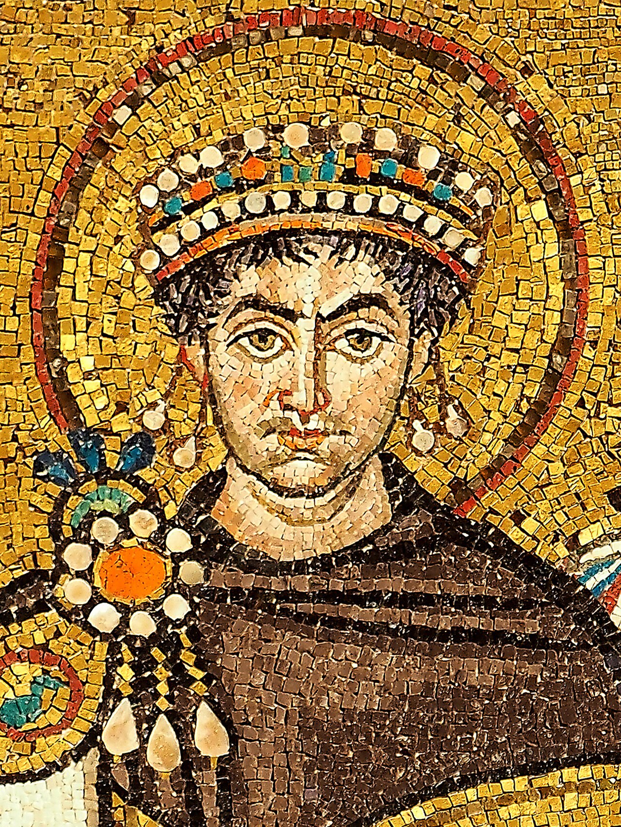 Artifact
Primary source
Portrait of Justinian I, San Vitale Mosaic
Byzantine mosaicists · c. 547
 Painting
Secondary source
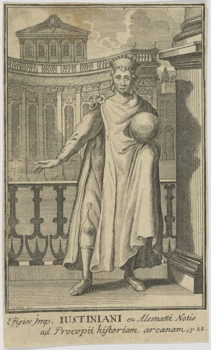
Portrait of Emperor Justinian
Johann Friedrich Böck
 Document
Primary source
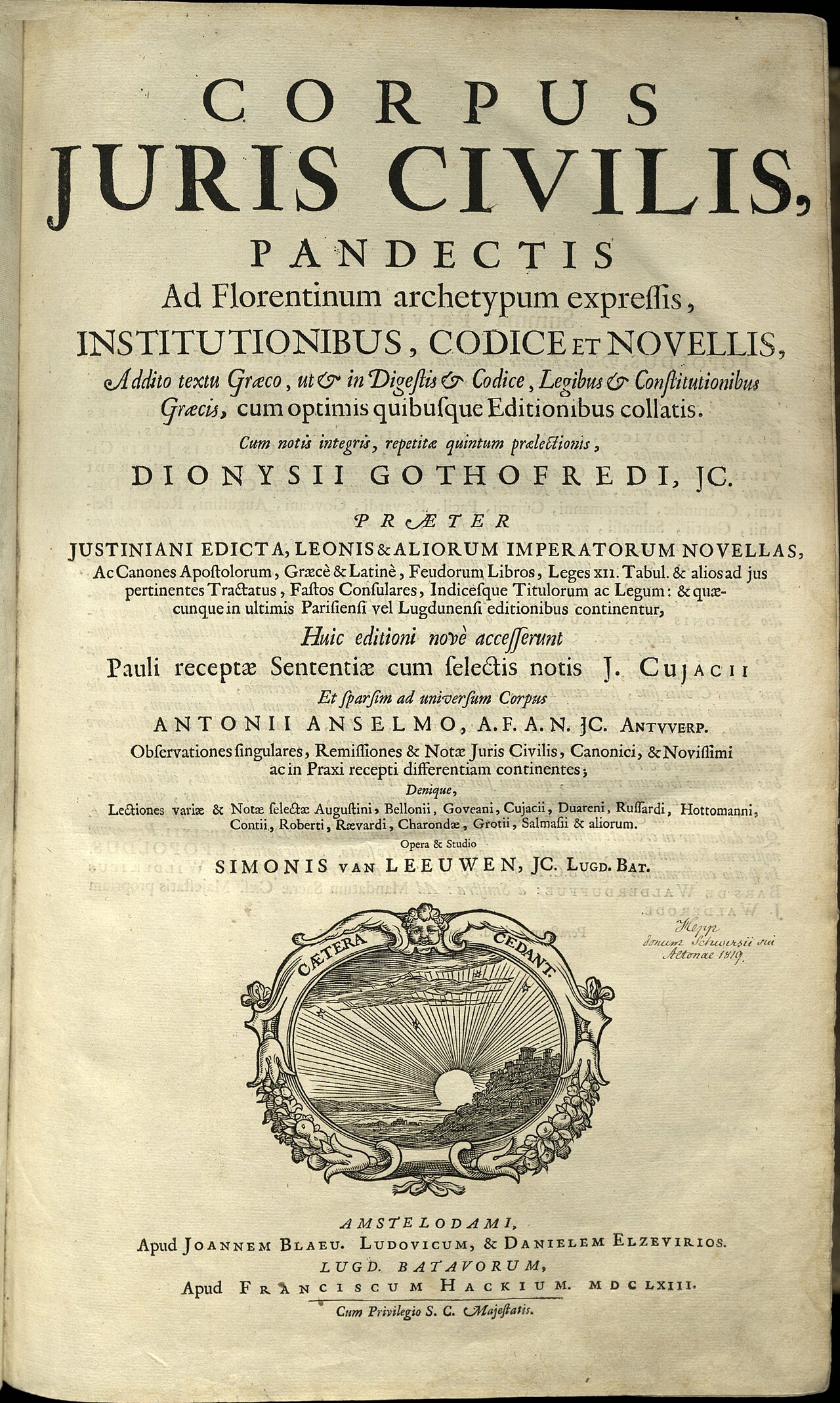
Corpus Juris Civilis
Tribonian · 528-534
 Artifact
Primary source
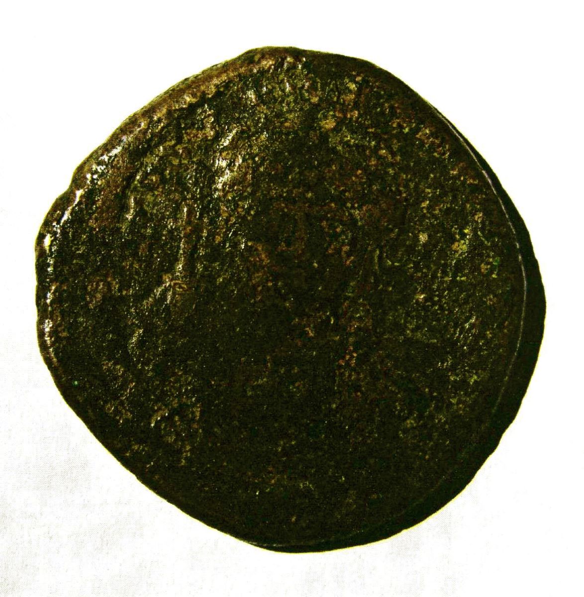
Bronze Follis of Justinian I with Globus Cruciger
 Artifact
Secondary source
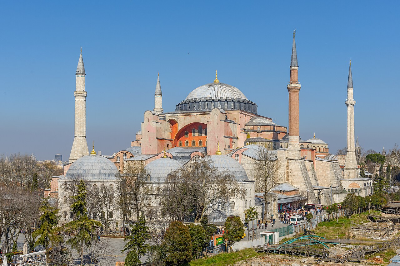
Hagia Sophia
Isidore of Miletus and Anthemius of Tralles · 532-537 CE
Ready when you are
Start chatting with Justinian I now.
20 messages free · No credit card · Available in 50+ languages.