


Secondary sourceDocument1621 (published 1628); believed based on earlier voyage charts
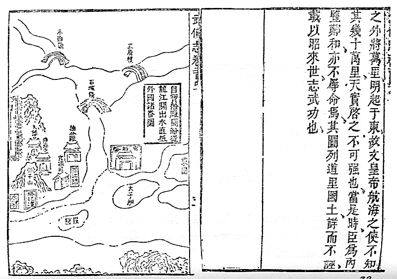
Mao Kun Map
Mao Yuanyi · 1621 (published 1628); believed based on earlier voyage charts
A set of navigation charts published in 1628, believed to derive from the maps used on Zheng He's treasure voyages sent out under the Yongle Emperor.
This map is believed to derive from the charts used on the treasure voyages the Yongle Emperor dispatched under Admiral Zheng He.
About this source
What it is
Known in Chinese as Zheng He's Navigation Map, this set of navigation charts was published in the military treatise Wubei Zhi, compiled by Mao Yuanyi in 1621 and printed in 1628. It is named after Mao Kun, the compiler's grandfather, from whose library the map likely came. It is held by the National Library, Singapore.
Why it matters
The map is thought to be based on charts from the time of Admiral Zheng He's expeditions, which the Yongle Emperor sent out across the Indian Ocean. It is the earliest known Chinese map to adequately show Southern Asia, Persia, Arabia, and East Africa, tracing sailing routes with detailed compass and timing instructions. It shows the scale of maritime ambition during the Yongle Emperor's reign.
Look closer
- Why might the coastline be drawn so differently in scale from one region to another?
- What does the map's focus on coasts and sailing routes, rather than inland areas, tell you about its purpose?
- Since the map was published two centuries after the voyages, how reliable do you think it is as a record of them?
This document is part of the curated material that grounds the AI version of Yongle Emperor on Humy.ai — when students ask about related events, the AI can quote it and cite it.
More Yongle Emperor sources
Meet the AI Yongle Emperor →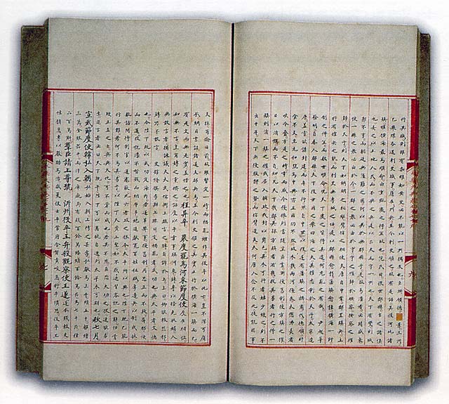


Ready when you are
Start chatting with Yongle Emperor now.
20 messages free · No credit card · Available in 50+ languages.