


Secondary sourceArtifact1750
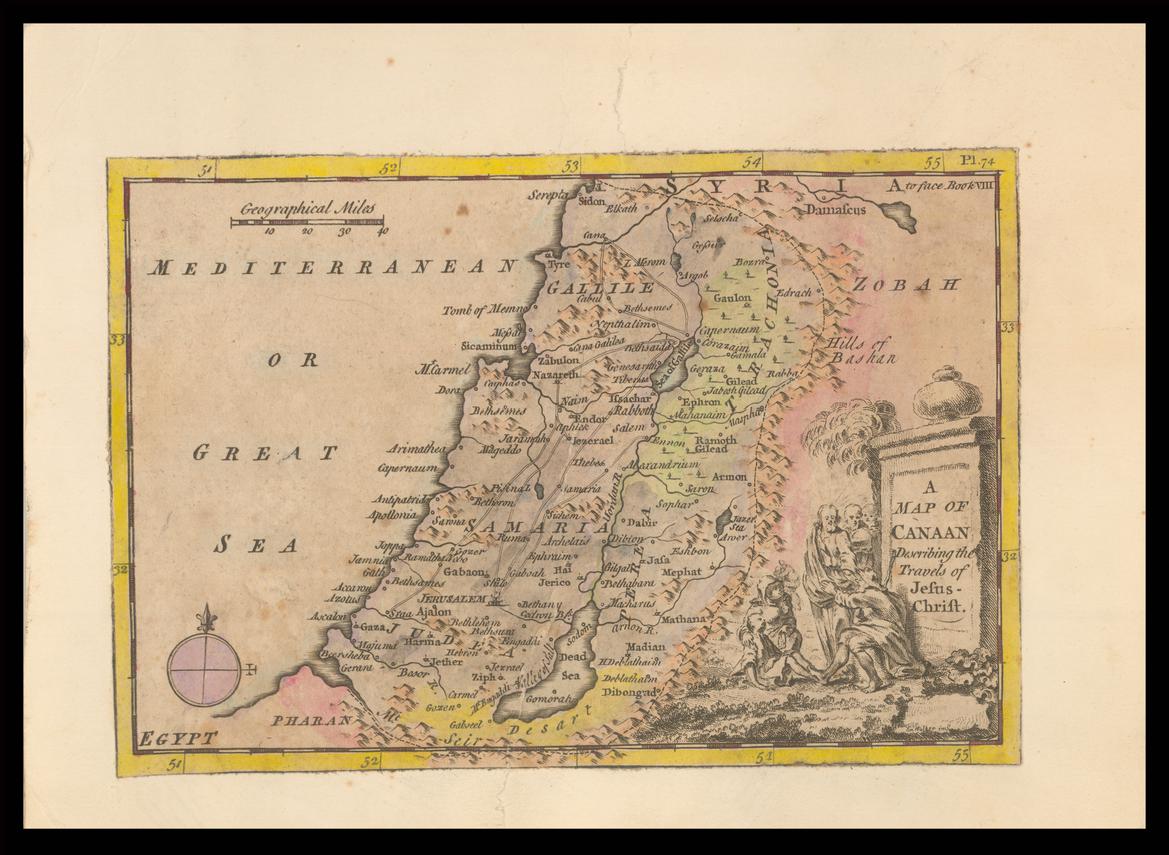
Map of Canaan Describing the Travels of Jesus Christ
1750
An 18th-century hand-colored map of Canaan marking the places associated with the travels of Jesus.
A later map marking the places of Jesus's travels, used to visualize the geography of his ministry.
About this source
What it is
This is a hand-colored copper-engraved map from 1750, titled A Map of Canaan Describing the Travels of Jesus Christ. It shows regions such as Galilee, Samaria, Judea and Syria, with a decorative cartouche containing an engraved scene. It is held by the National Library of Israel.
Why it matters
Maps like this were made to help readers picture the geography behind the Gospel accounts of Jesus's ministry. They reveal how later mapmakers combined religious texts with available geographic knowledge to create visual aids for study and devotion, long after the events themselves.
Look closer
- Why might a mapmaker in 1750 choose to focus a map around the travels of a religious figure?
- What choices did the engraver make in decorating the map, and why?
- How reliable do you think a map made so long after the events could be as a historical source?
This artifact is part of the curated material that grounds the AI version of Jesus Christ on Humy.ai — when students ask about related events, the AI can quote it and cite it.
More Jesus Christ sources
Browse all 88 →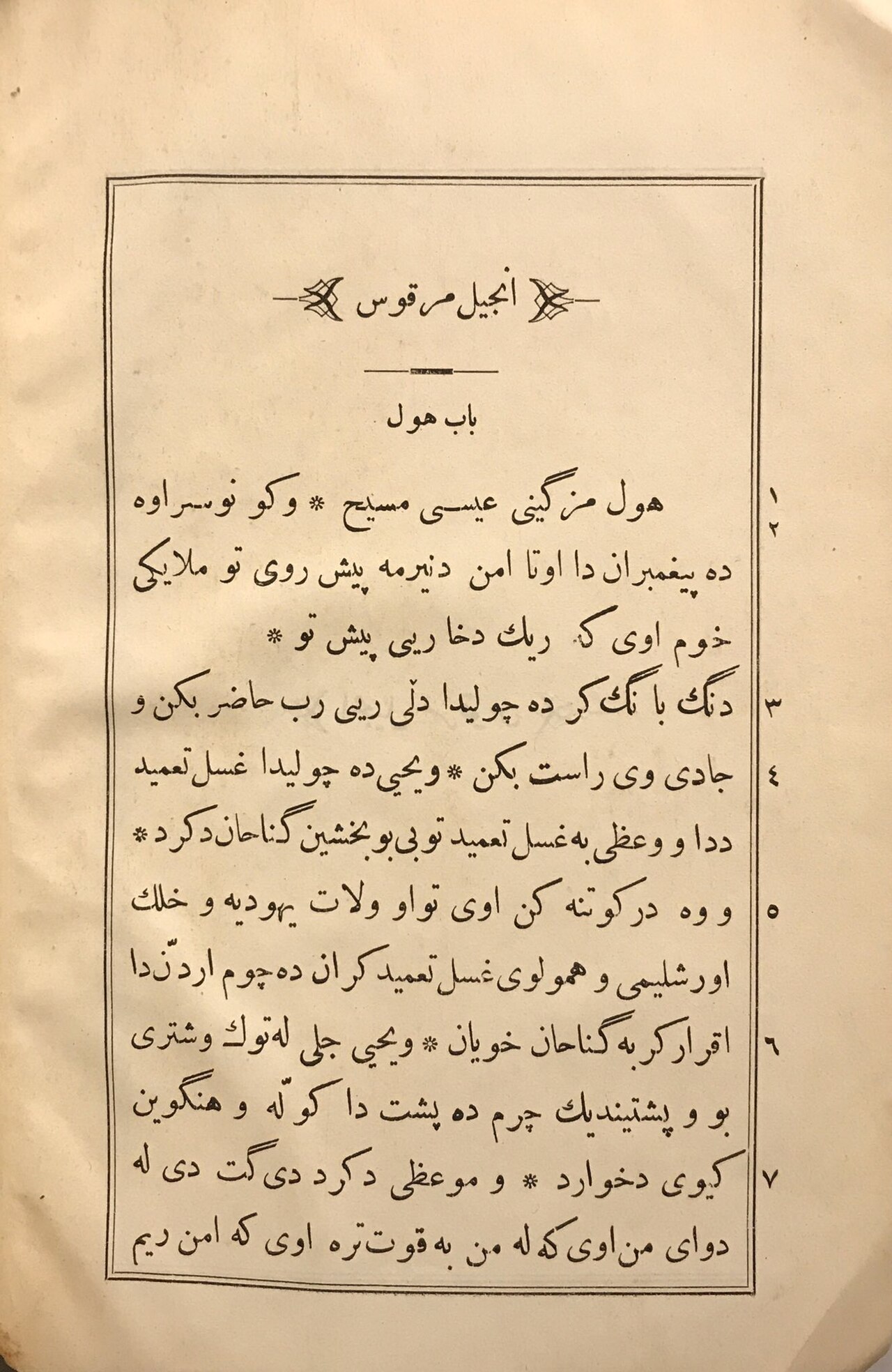 Book
Secondary source
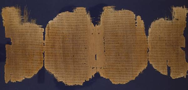
Gospel of Mark
Mark the Evangelist · c. AD 66-75
 Artifact
Secondary source
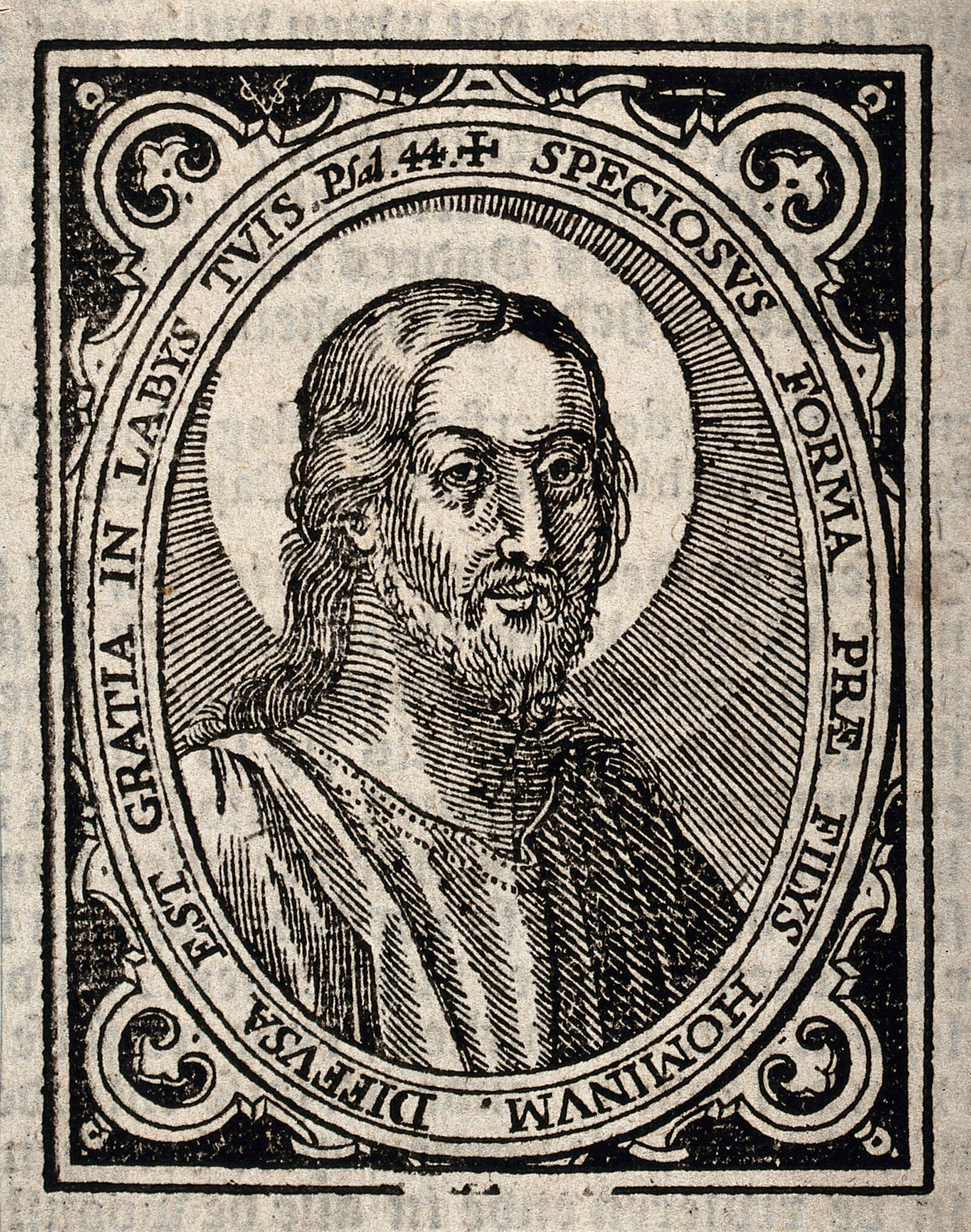
Jesus Christ, woodcut by Christoffel van Sichem III
Christoffel van Sichem III · c. 1645
 Book
Secondary source
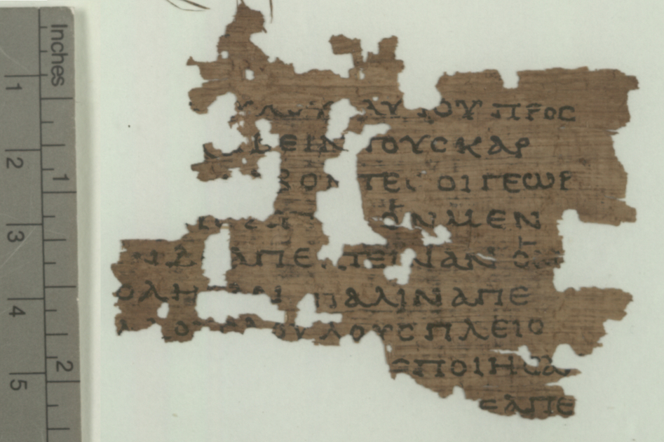
Gospel of Matthew
Matthew the Apostle · late 1st century AD
 Painting
Secondary source
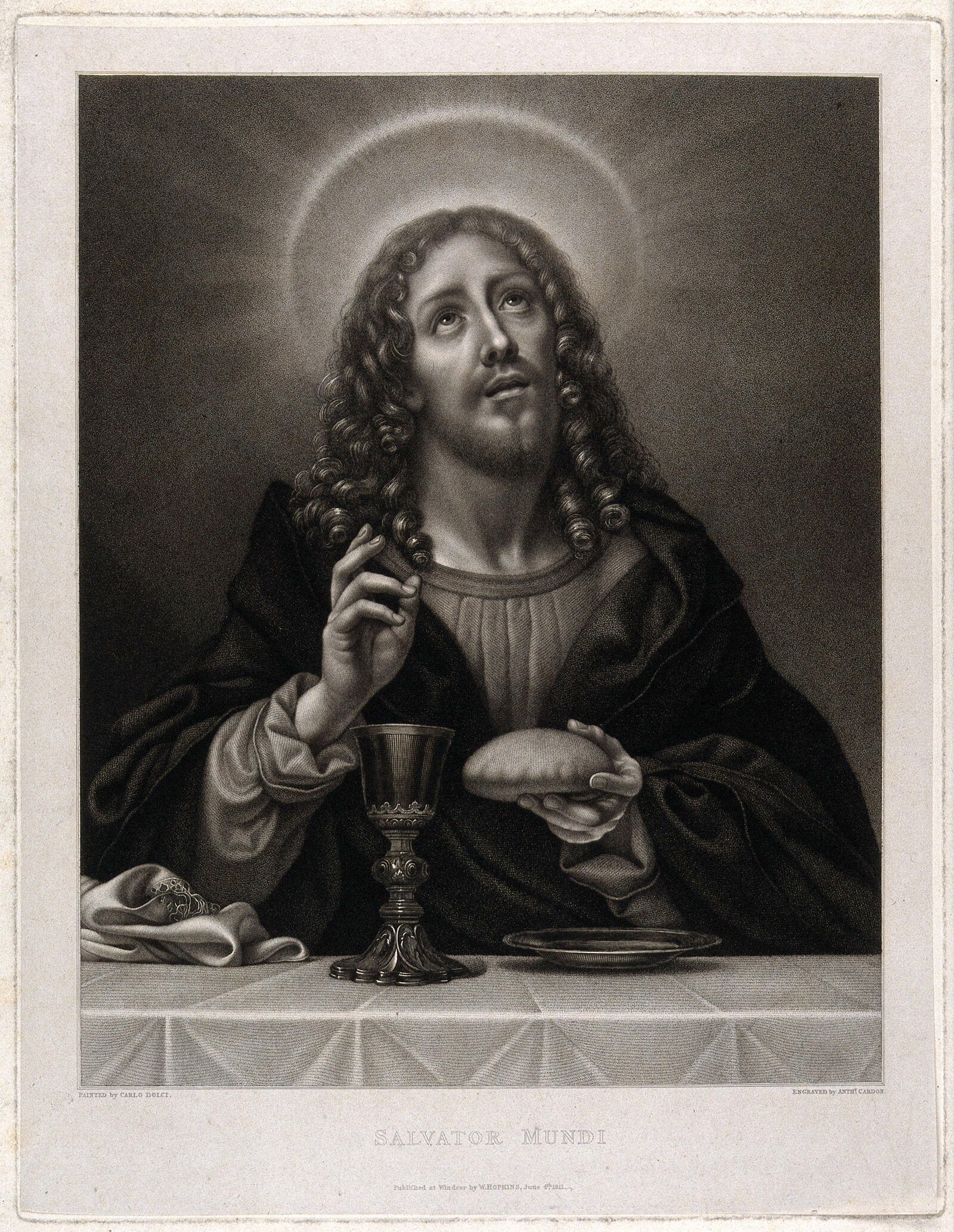
Jesus Christ blessing the Host
Carlo Dolci (painting); Anth. Cardon (engraving) · 4 June 1811
Free account
Read every Jesus Christ source
Sign up free →
Ready when you are
Start chatting with Jesus Christ now.
20 messages free · No credit card · Available in 50+ languages.