


Primary sourceDocument1613
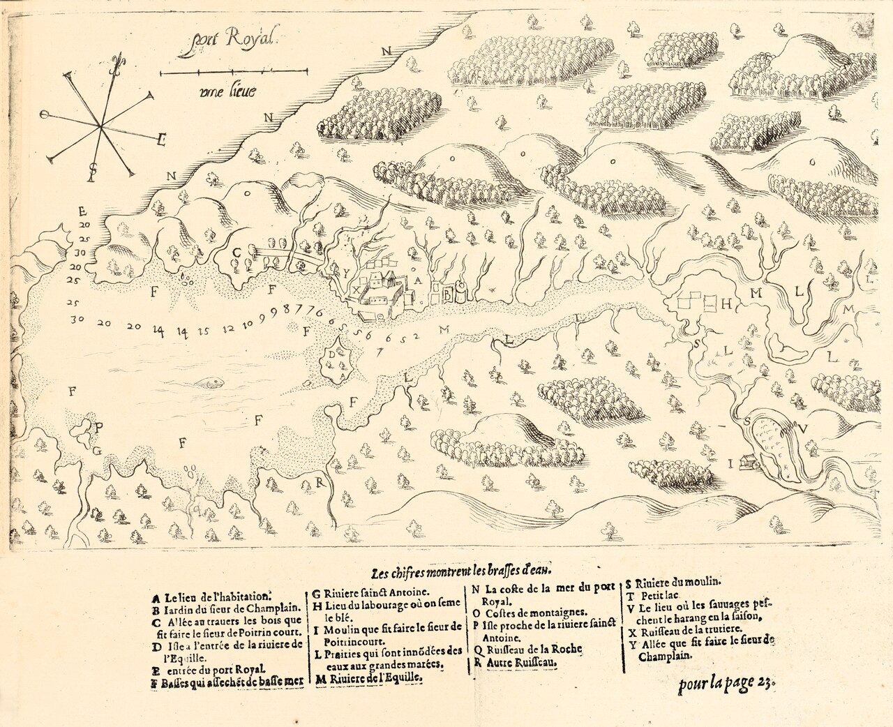
Map of Port Royal Bay (1613)
Samuel de Champlain · 1613
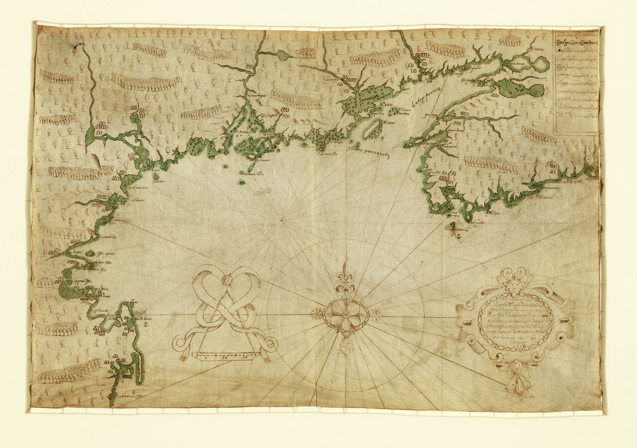
A map of Port Royal bay drawn by Champlain and published in his 1613 book of voyages.
Champlain drew this map of Port Royal, one of the settlements he helped establish and survey.
About this source
What it is
This engraved map of Port Royal bay was drawn by Samuel de Champlain and published in his 1613 book, Les Voyages dv Sievr de Champlain. It shows the coastline, forests, hills, a compass rose, a scale, depth soundings, and the buildings of the habitation.
Why it matters
Port Royal was one of the earliest French settlements in North America, and this map is direct evidence of Champlain's surveying and his role in establishing and recording these early colonial outposts.
Look closer
- What does the map tell you about where the French chose to build their settlement?
- How might this map have been used by other sailors or settlers?
- What information about the land and its original inhabitants is left out?
This document is part of the curated material that grounds the AI version of Samuel de Champlain on Humy.ai — when students ask about related events, the AI can quote it and cite it.
More Samuel de Champlain sources
Meet the AI Samuel de Champlain → Book
Primary source
Les Voyages du sieur de Champlain
Samuel de Champlain · 1613
 Document
Primary source
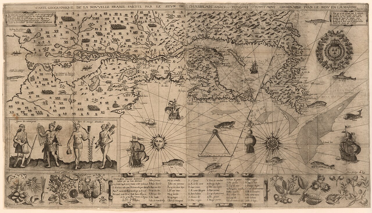
Carte geographique de la Nouvelle Franse
Samuel de Champlain · 1612
 Book
Primary source
Des Sauvages, ou voyage de Samuel Champlain
Samuel de Champlain · 1603
 Document
Primary source
Descripsion des costs, pts., rades, Illes de la Nouuele France
Samuel de Champlain · 1607
 Document
Primary source
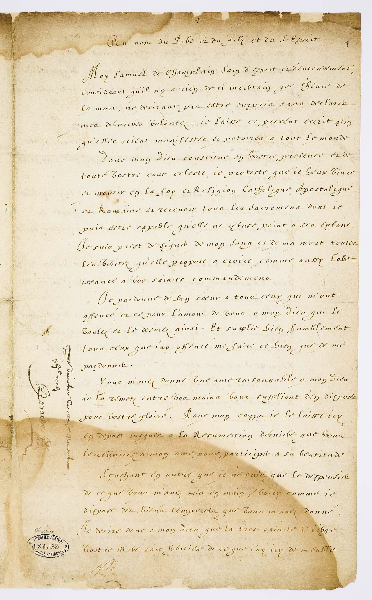
Testament de Samuel Champlain
Samuel de Champlain · 17 November 1635
Ready when you are
Start chatting with Samuel de Champlain now.
20 messages free · No credit card · Available in 50+ languages.