


Tertiary sourceArtifact2021
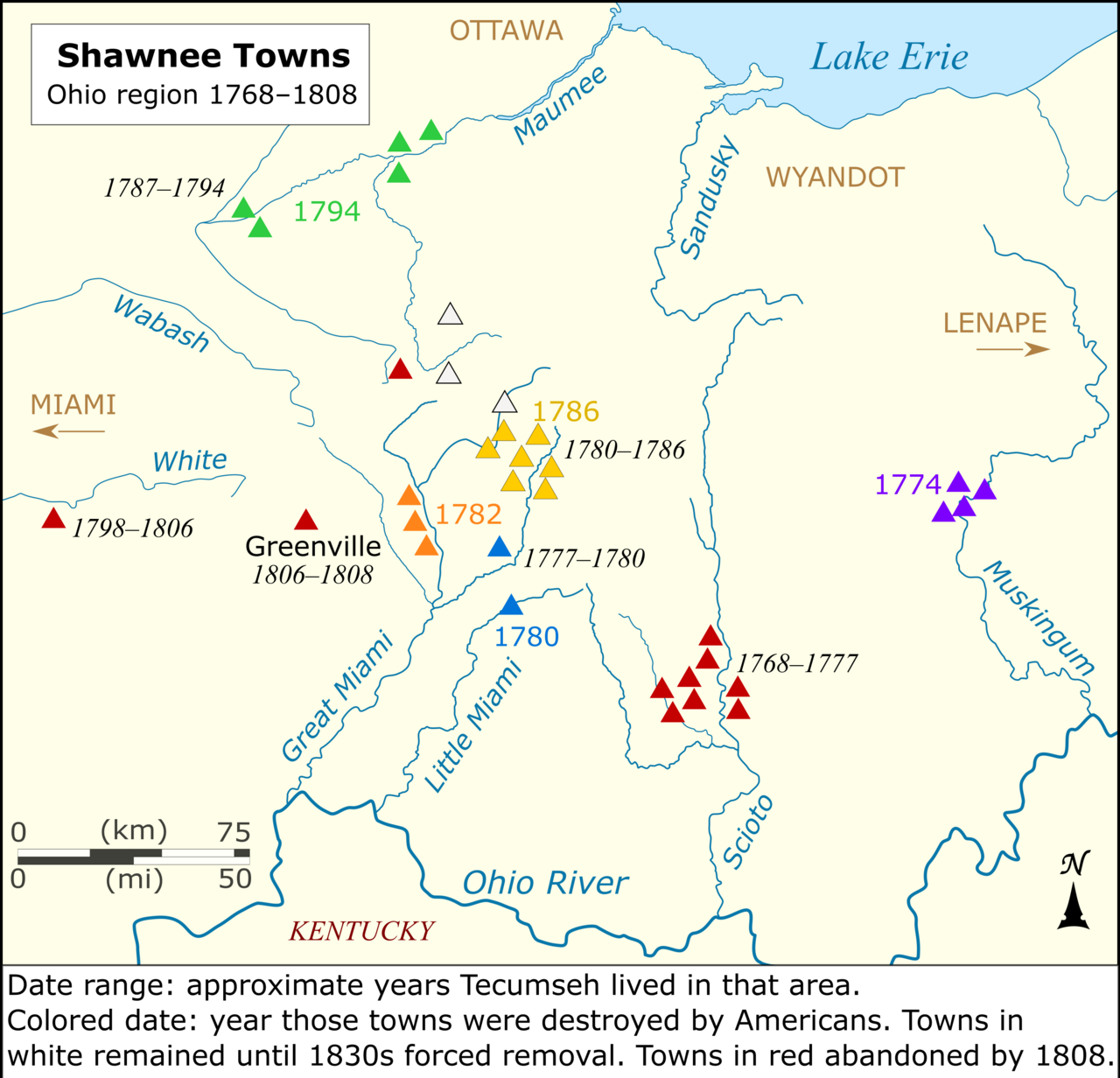
Map of Shawnee Towns in Ohio to 1808
Kevin1776 · 2021
A modern map showing Shawnee town locations in Ohio from 1768 to 1808, including places where Tecumseh lived.
A modern map locating the Shawnee towns where Tecumseh lived and showing the destruction of those towns.
About this source
What it is
This is a modern map, created in 2021, showing the locations of Shawnee towns in the Ohio region between 1768 and 1808. It marks where Tecumseh lived and notes when various towns were destroyed during wars with Americans.
Why it matters
The map helps show the wider world Tecumseh grew up and fought in: a landscape of Shawnee and neighboring nations' towns that were repeatedly destroyed as American expansion pushed into the Ohio region during his lifetime.
Look closer
- What do the colors and dates on the map tell you about the fate of different towns?
- How might living through the destruction of towns have shaped Tecumseh's later actions?
- What is missing from a map like this that written sources might add?
This artifact is part of the curated material that grounds the AI version of Tecumseh on Humy.ai — when students ask about related events, the AI can quote it and cite it.
More Tecumseh sources
Meet the AI Tecumseh →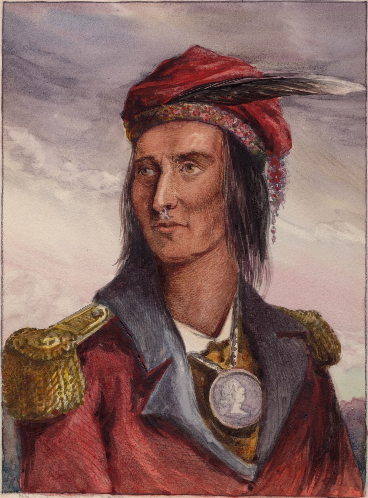 Painting
Secondary source
Portrait of Tecumseh
Pierre Le Dru (original sketch); reworked by Benson Lossing, 1868 · 1868 (after an earlier sketch)
 Document
Primary source
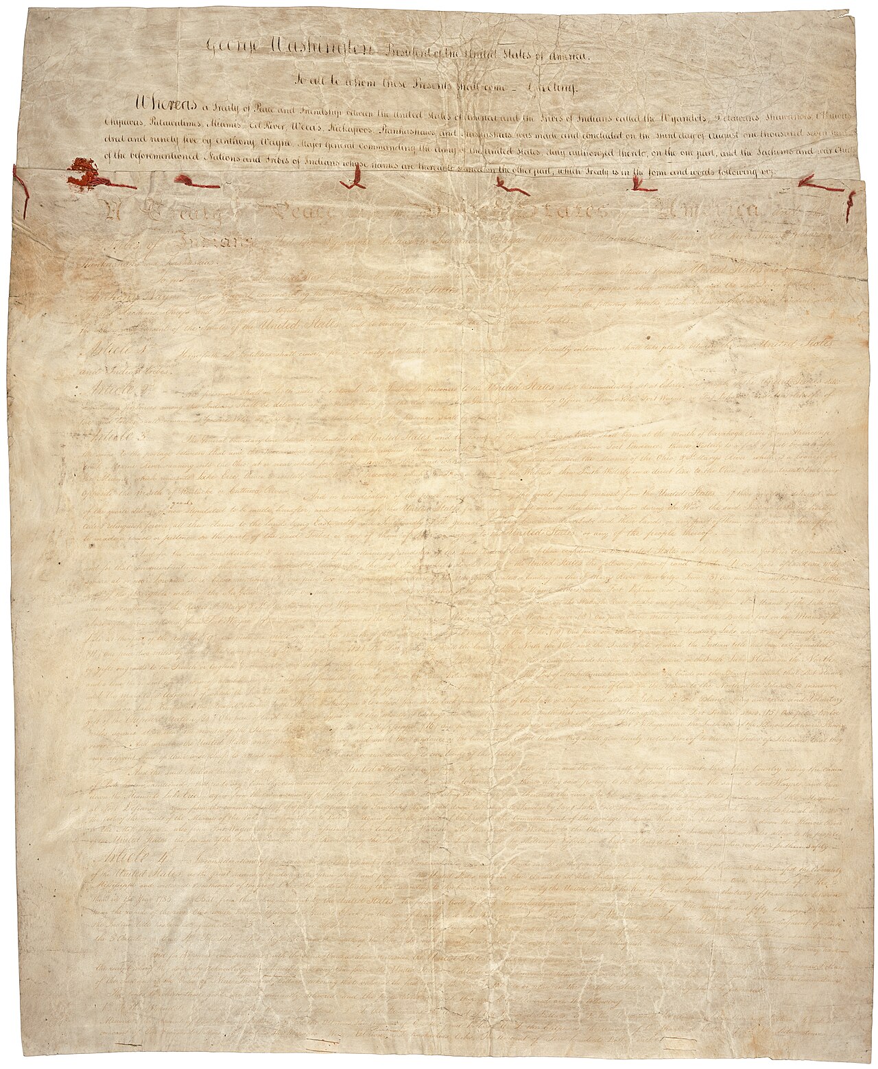
Treaty of Greenville
3 August 1795
 Document
Primary source
Messages and Letters of William Henry Harrison
William Henry Harrison; ed. Logan Esarey · 1800-1816 (published 1922)
 Document
Primary source
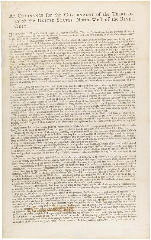
Northwest Ordinance
Confederation Congress · 13 July 1787
 Document
Primary source
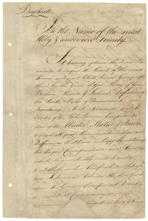
Treaty of Paris
3 September 1783
Ready when you are
Start chatting with Tecumseh now.
20 messages free · No credit card · Available in 50+ languages.