


Secondary sourceDocument1938
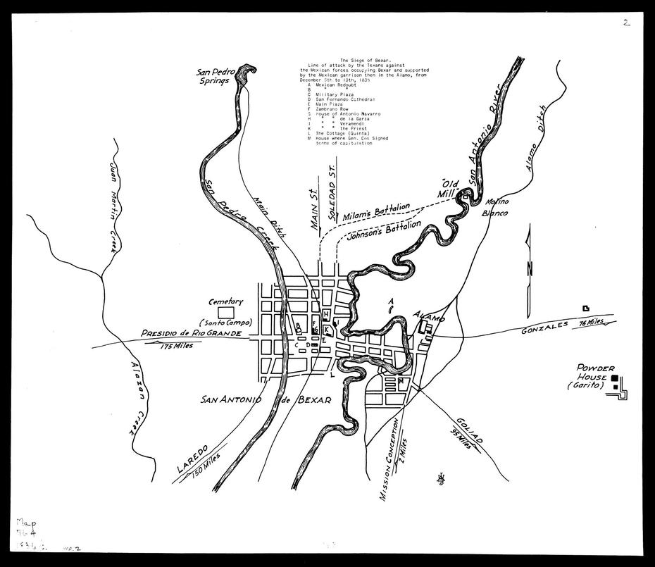
Map of the 1835 Siege of Bexar
Andrew Jackson Houston · 1938
A 1938 map by Andrew Jackson Houston showing the Texian assault on San Antonio de Bexar during the siege Austin helped direct.
A later map of the Siege of Bexar, a campaign Austin directed as part of the Texas Revolution.
About this source
What it is
This is a black-and-white line map titled The Siege of Bexar, made in 1938 by Andrew Jackson Houston. It shows the street grid of San Antonio de Bexar, the San Antonio River, the Alamo Ditch, and the positions of Milam's and Johnson's battalions during the Texian assault of December 5, 1835, which ended the siege.
Why it matters
The Siege of Bexar was part of the Texas Revolution, a campaign that Stephen F. Austin helped lead before command passed to others. This later map, made over a century afterward, helps students trace the military events of that siege and understand the terrain and tactics involved, even though it is a modern reconstruction rather than a document from the time.
Look closer
- Why might someone make a detailed map of a battle more than a hundred years after it happened?
- What sources might the mapmaker have used to know where the battalions were positioned?
- What can a map show about a battle that a written account cannot, and what can it not show?
This document is part of the curated material that grounds the AI version of Stephen F. Austin and William B. Travis on Humy.ai — when students ask about related events, the AI can quote it and cite it.
More Stephen F. Austin sources
Browse all 53 →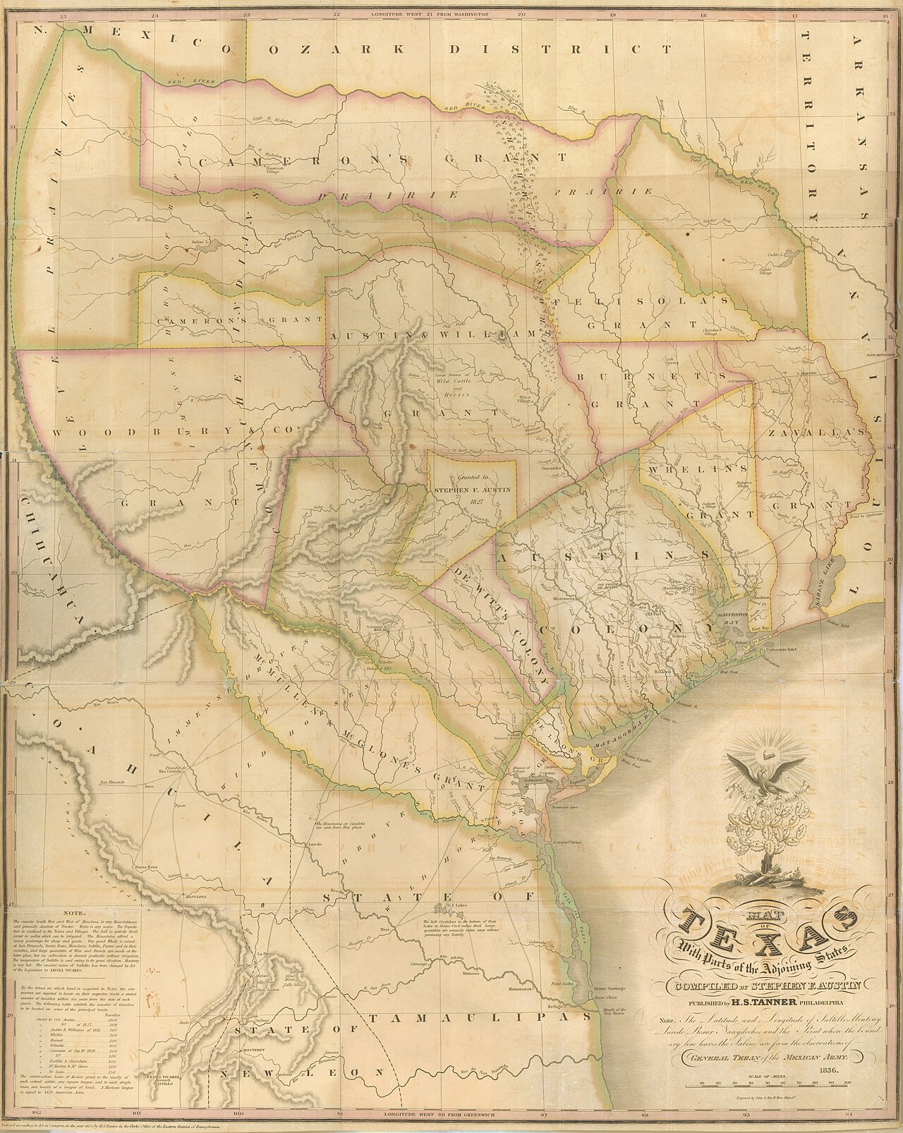 Document
Primary source
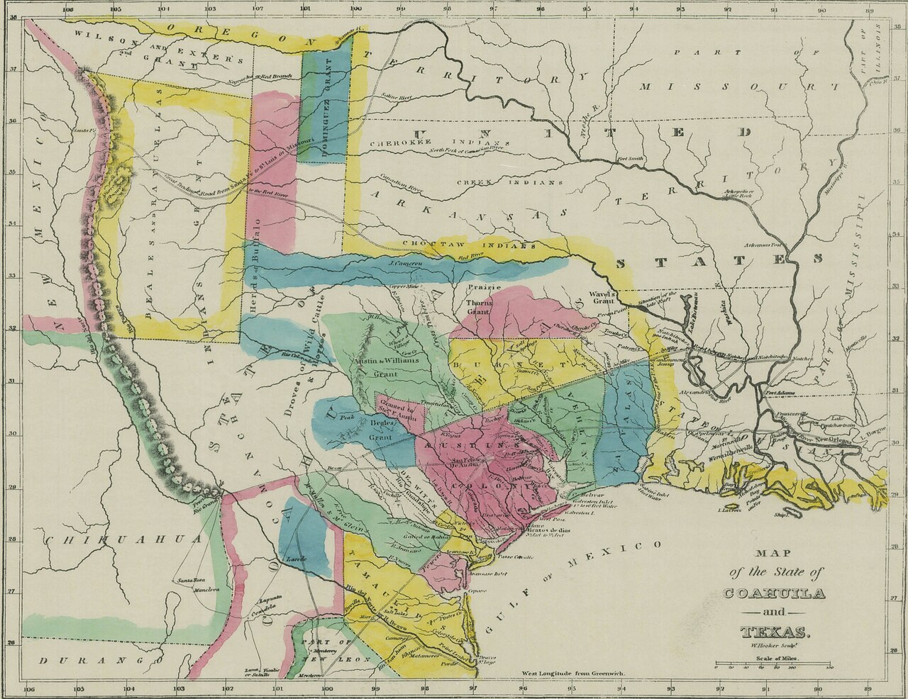
Map of Texas with Parts of the Adjoining States
Stephen F. Austin; Henry S. Tanner · 1830 (this edition 1836)
 Document
Primary source
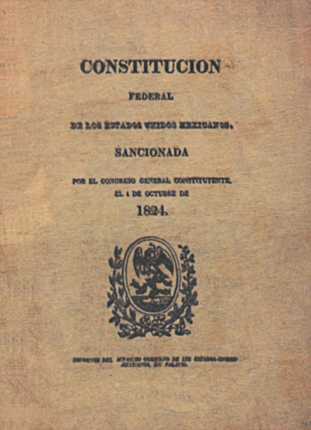
1824 Constitution of Mexico
First Constituent Congress of Mexico · 4 October 1824
 Painting
Primary source
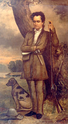
Stephen Austin and Dog
William Howard · 1833
Secondary source
Texas: Observations, Historical, Geographical and Descriptive
Mary Austin Holley · 1833
Free account
Browse every Stephen F. Austin source
Sign up free →
Ready when you are
Start chatting with Stephen F. Austin now.
20 messages free · No credit card · Available in 50+ languages.