


Primary sourceDocument1519
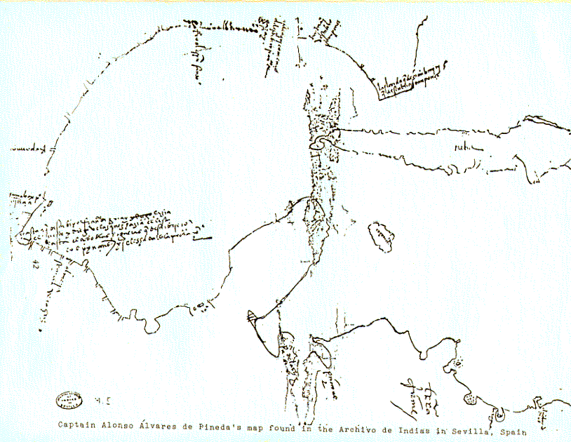
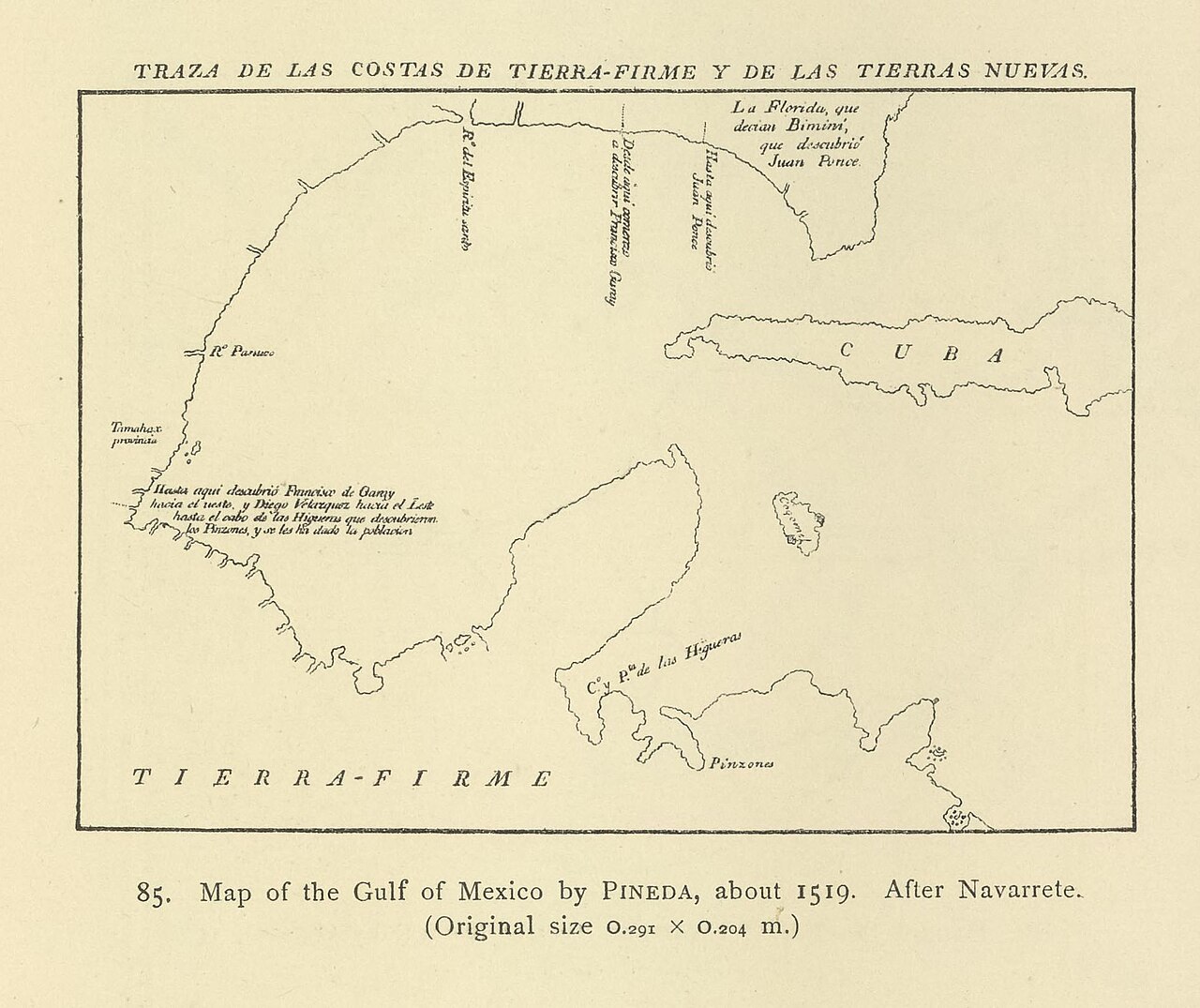
Map of the Gulf of Mexico (Pineda Map)
Alonso Álvarez de Pineda (attributed) · 1519
A sketch map from Pineda's 1519 voyage, the first known map of the Gulf Coast and Texas, showing the Gulf as enclosed water.
This map, attributed to Pineda, is the direct record of his 1519 voyage and his proof that the Gulf of Mexico was enclosed.
About this source
What it is
This is a reproduction of a hand-drawn map made from Alonso Álvarez de Pineda's 1519 voyage along the Gulf Coast. The original is held in the Archivo General de Indias in Seville, Spain.
Why it matters
This map is considered the first known map of the Gulf Coast and of Texas. It shows the Gulf of Mexico as an enclosed body of water and Florida as a peninsula, which was important new geographic knowledge for Spain at the time. It reveals how explorers like Pineda combined sailing with careful recording to build Europe's picture of the Americas.
Look closer
- What details on the coastline suggest this was drawn from direct observation at sea?
- Why might a mapmaker show the Gulf as fully enclosed, and how might this change European strategy?
- What is missing from this map that a modern map would include?
This document is part of the curated material that grounds the AI version of Alonso Álvarez de Pineda on Humy.ai — when students ask about related events, the AI can quote it and cite it.
More Alonso Álvarez de Pineda sources
Meet the AI Alonso Álvarez de Pineda →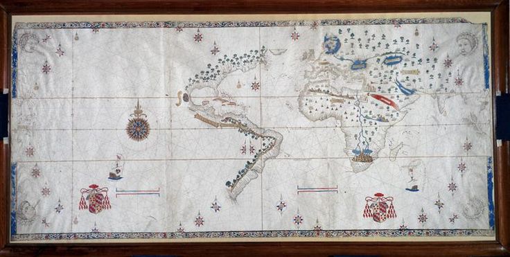 Document
Primary source
Salviati Planisphere
Nuño García de Toreno · c. 1525
 Book
Secondary source
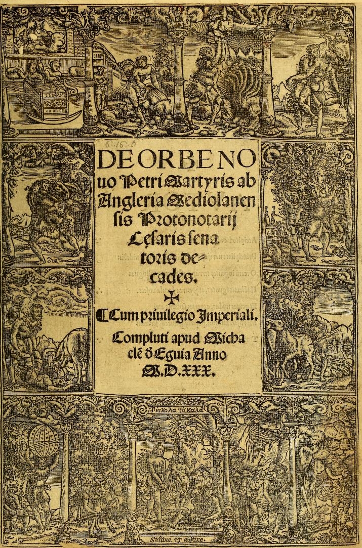
Decades of the New World
Peter Martyr d'Anghiera · 1530 (complete edition)
 Document
Primary source
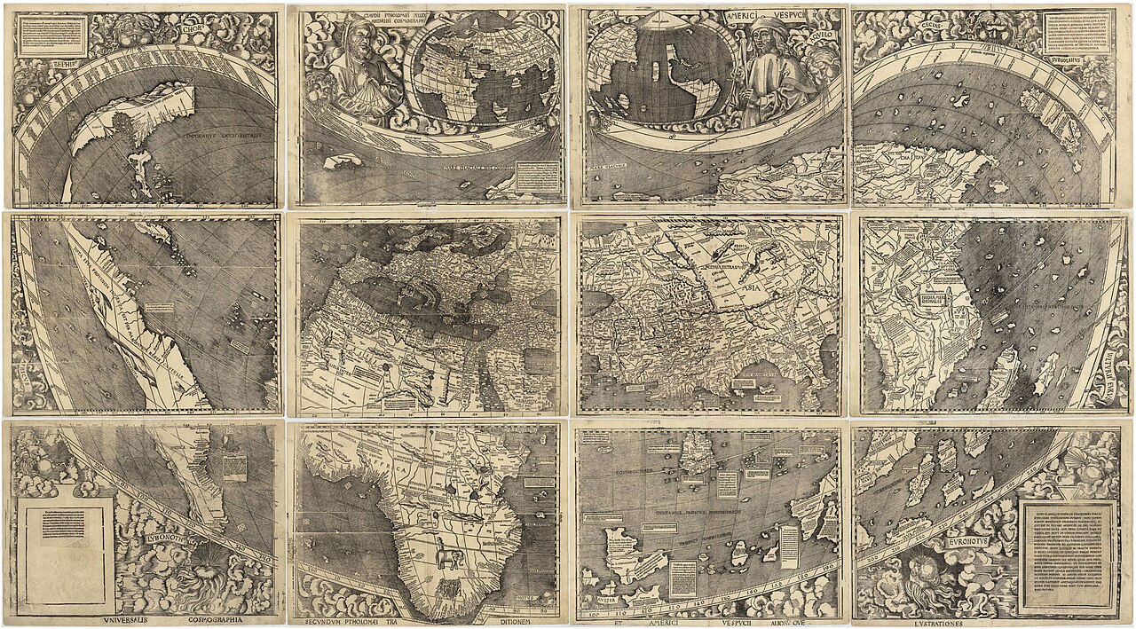
Waldseemüller map
Martin Waldseemüller · 1507
 Document
Secondary source
Nordenskiöld Reproduction of Pineda's Map
Adolf Erik Nordenskiöld · 1897 (reproduction of 1519 original)
 Document
Primary source
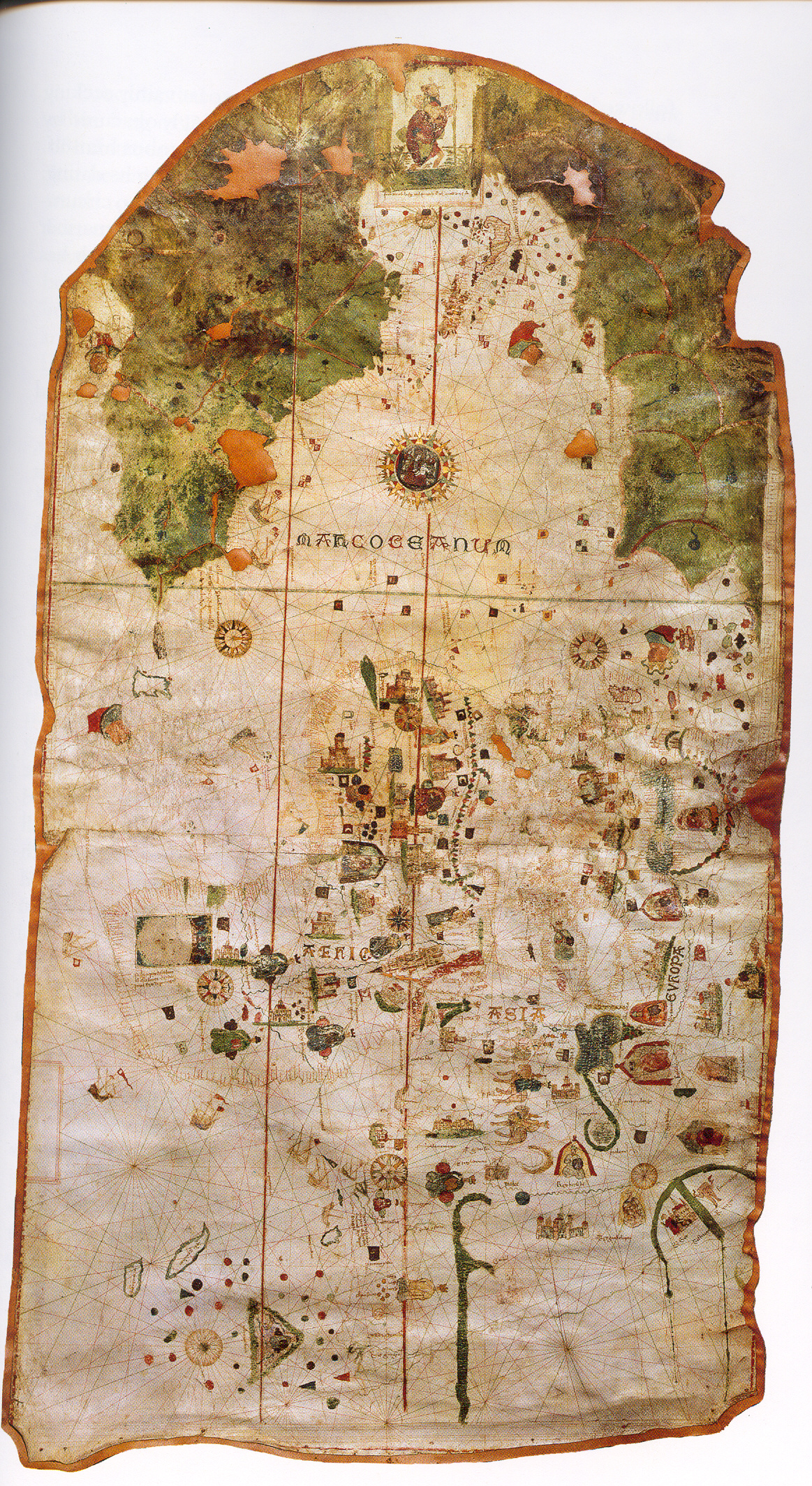
Map of Juan de la Cosa
Juan de la Cosa · 1500
Ready when you are
Start chatting with Alonso Álvarez de Pineda now.
20 messages free · No credit card · Available in 50+ languages.