


Primary sourceDocumentc. 1525
Salviati Planisphere
Nuño García de Toreno · c. 1525
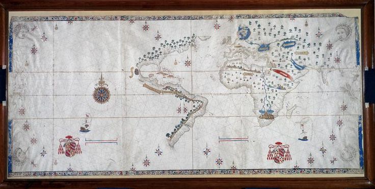
A Spanish world map from the mid-1520s showing the Gulf of Mexico coastline shortly after it was charted by explorers like Pineda.
This map records the Gulf of Mexico coastline as closed shortly after Pineda's voyage charted it.
About this source
What it is
This is a hand-painted world map on parchment, believed to have been drawn by Nuño García de Toreno, head of the Casa de la Contratación in Seville, around 1525. It shows the Spanish view of the world at the time, including the eastern coasts of the Americas. It takes its name from Cardinal Giovanni Salviati, who received it from Holy Roman Emperor Charles V. It is now kept at the Biblioteca Medicea Laurenziana in Florence.
Why it matters
The map reflects Spain's official geographic knowledge soon after voyages like that of Alonso Álvarez de Pineda had charted the Gulf of Mexico coastline. Rather than inventing details for unexplored regions, the mapmaker left them blank, showing how explorers' reports directly shaped what cartographers dared to draw.
Look closer
- What details does the map include along the Gulf coast, and what is left blank?
- Why might a mapmaker choose not to guess at unexplored areas?
- Who would have used a map like this, and for what purpose?
This document is part of the curated material that grounds the AI version of Alonso Álvarez de Pineda on Humy.ai — when students ask about related events, the AI can quote it and cite it.
More Alonso Álvarez de Pineda sources
Meet the AI Alonso Álvarez de Pineda →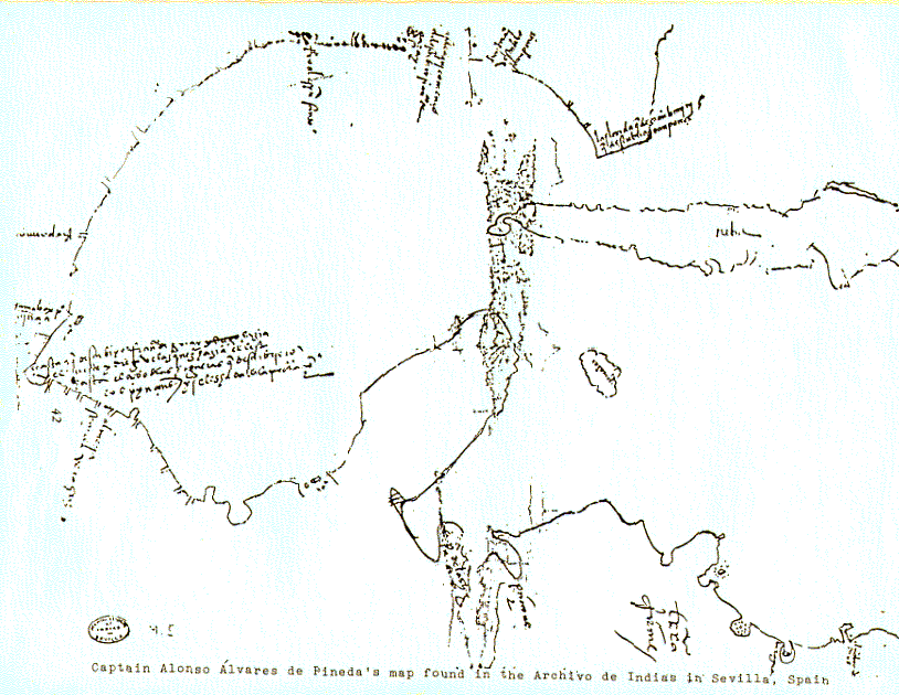 Document
Primary source
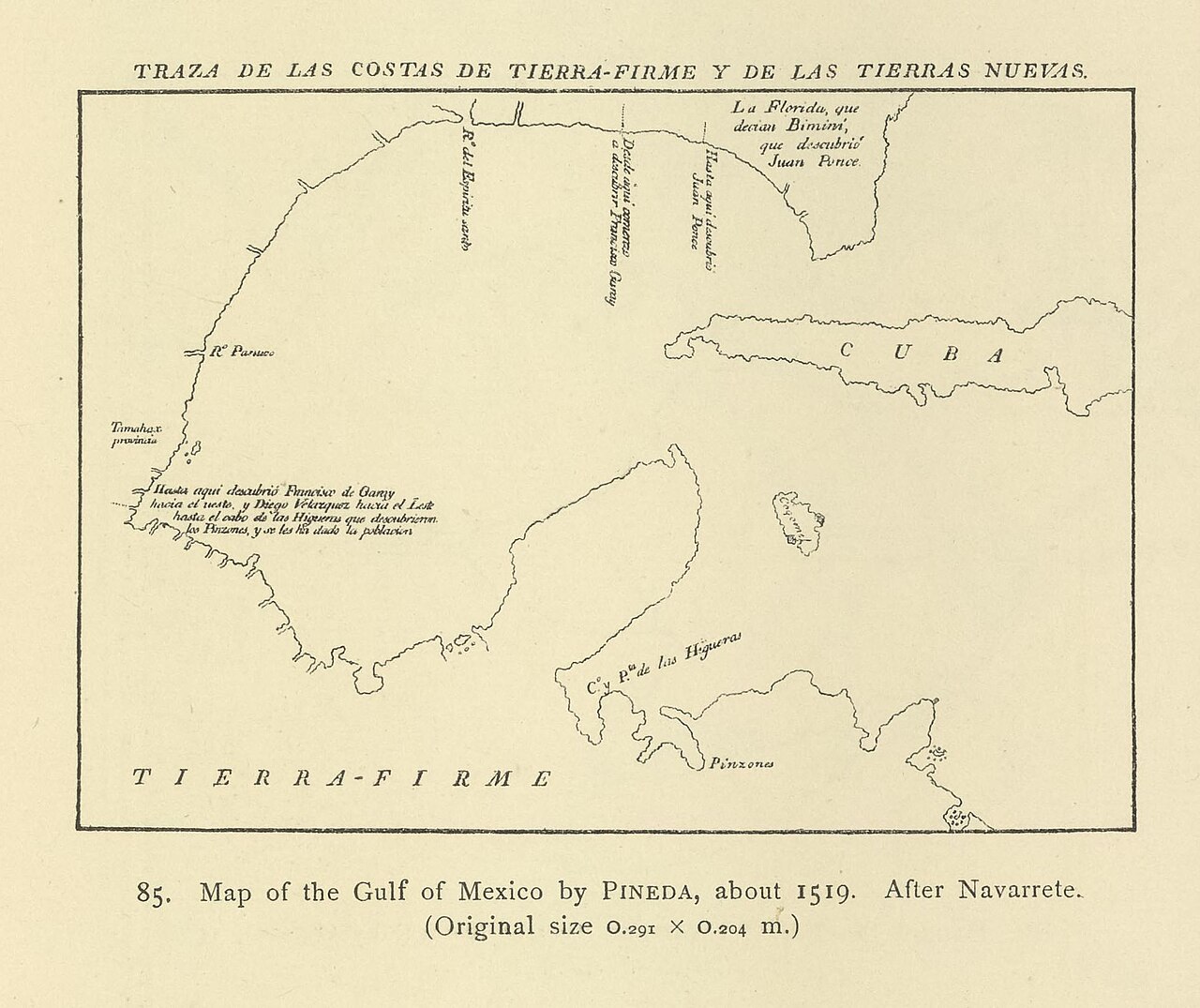
Map of the Gulf of Mexico (Pineda Map)
Alonso Álvarez de Pineda (attributed) · 1519
 Book
Secondary source
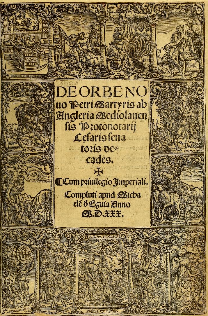
Decades of the New World
Peter Martyr d'Anghiera · 1530 (complete edition)
 Document
Primary source
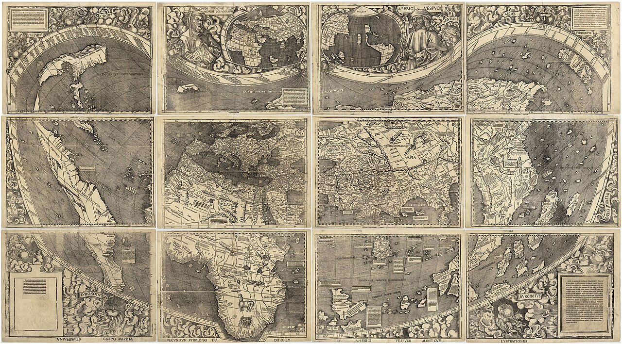
Waldseemüller map
Martin Waldseemüller · 1507
 Document
Secondary source
Nordenskiöld Reproduction of Pineda's Map
Adolf Erik Nordenskiöld · 1897 (reproduction of 1519 original)
 Document
Primary source
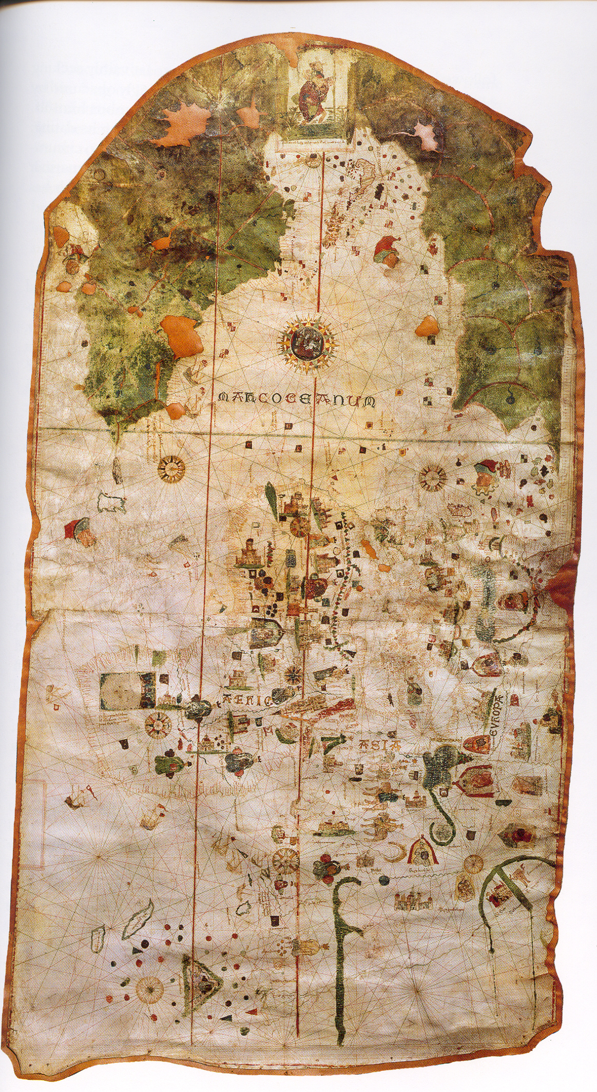
Map of Juan de la Cosa
Juan de la Cosa · 1500
Ready when you are
Start chatting with Alonso Álvarez de Pineda now.
20 messages free · No credit card · Available in 50+ languages.