


Secondary sourceDocument1897 (reproduction of 1519 original)
Nordenskiöld Reproduction of Pineda's Map
Adolf Erik Nordenskiöld · 1897 (reproduction of 1519 original)
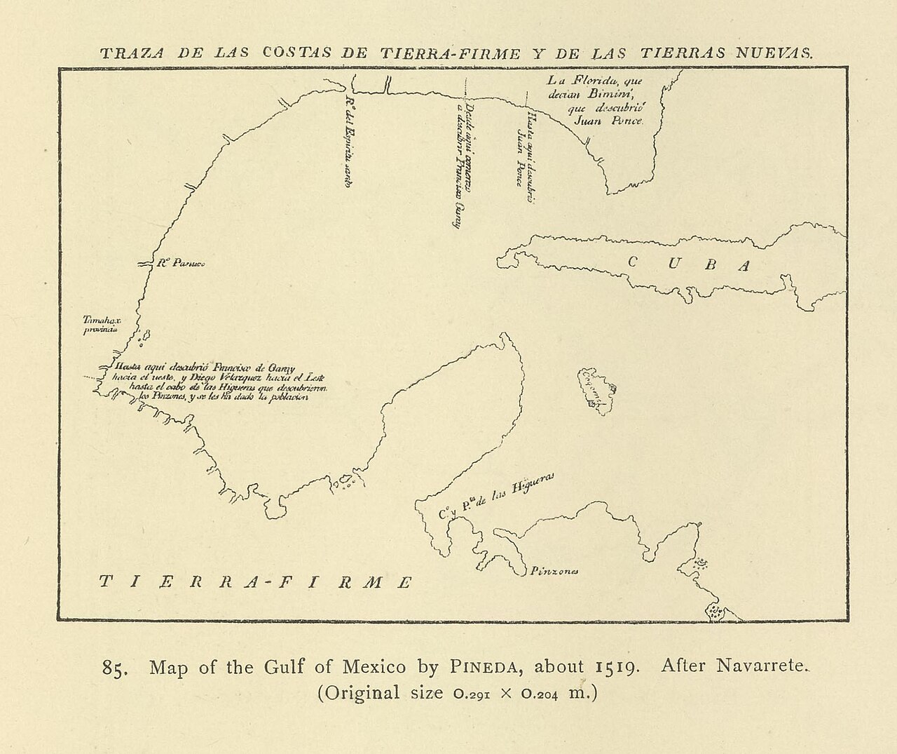
A 19th-century published engraving reproducing Pineda's 1519 map of the Gulf of Mexico, based on the earlier work of Navarrete.
This is a later published copy of Pineda's own map, showing how his cartographic work was preserved and studied.
About this source
What it is
This is a line-engraved reproduction of Pineda's map of the Gulf of Mexico, made from a version published by the historian Navarrete and reprinted in Adolf Erik Nordenskiöld's 1897 atlas Periplus.
Why it matters
This 19th-century reproduction is not the original map itself but a later copy that helped make Pineda's 1519 chart known to historians of cartography long after the original was created. It shows how old maps are preserved and studied through later copies and publications.
Look closer
- How might copying a map by hand change small details from the original?
- Why would a 19th-century scholar want to reprint a 300-year-old map?
- What labels or features can you find that match places you know today?
This document is part of the curated material that grounds the AI version of Alonso Álvarez de Pineda on Humy.ai — when students ask about related events, the AI can quote it and cite it.
More Alonso Álvarez de Pineda sources
Meet the AI Alonso Álvarez de Pineda →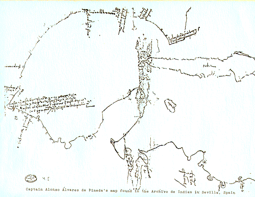 Document
Primary source
Map of the Gulf of Mexico (Pineda Map)
Alonso Álvarez de Pineda (attributed) · 1519
 Document
Primary source
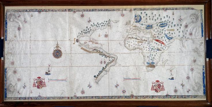
Salviati Planisphere
Nuño García de Toreno · c. 1525
 Book
Secondary source
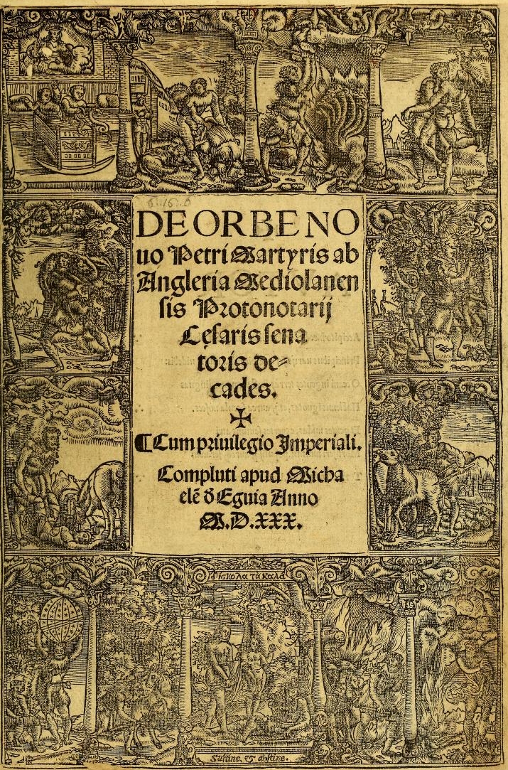
Decades of the New World
Peter Martyr d'Anghiera · 1530 (complete edition)
 Document
Primary source
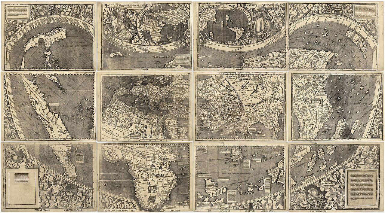
Waldseemüller map
Martin Waldseemüller · 1507
 Document
Primary source
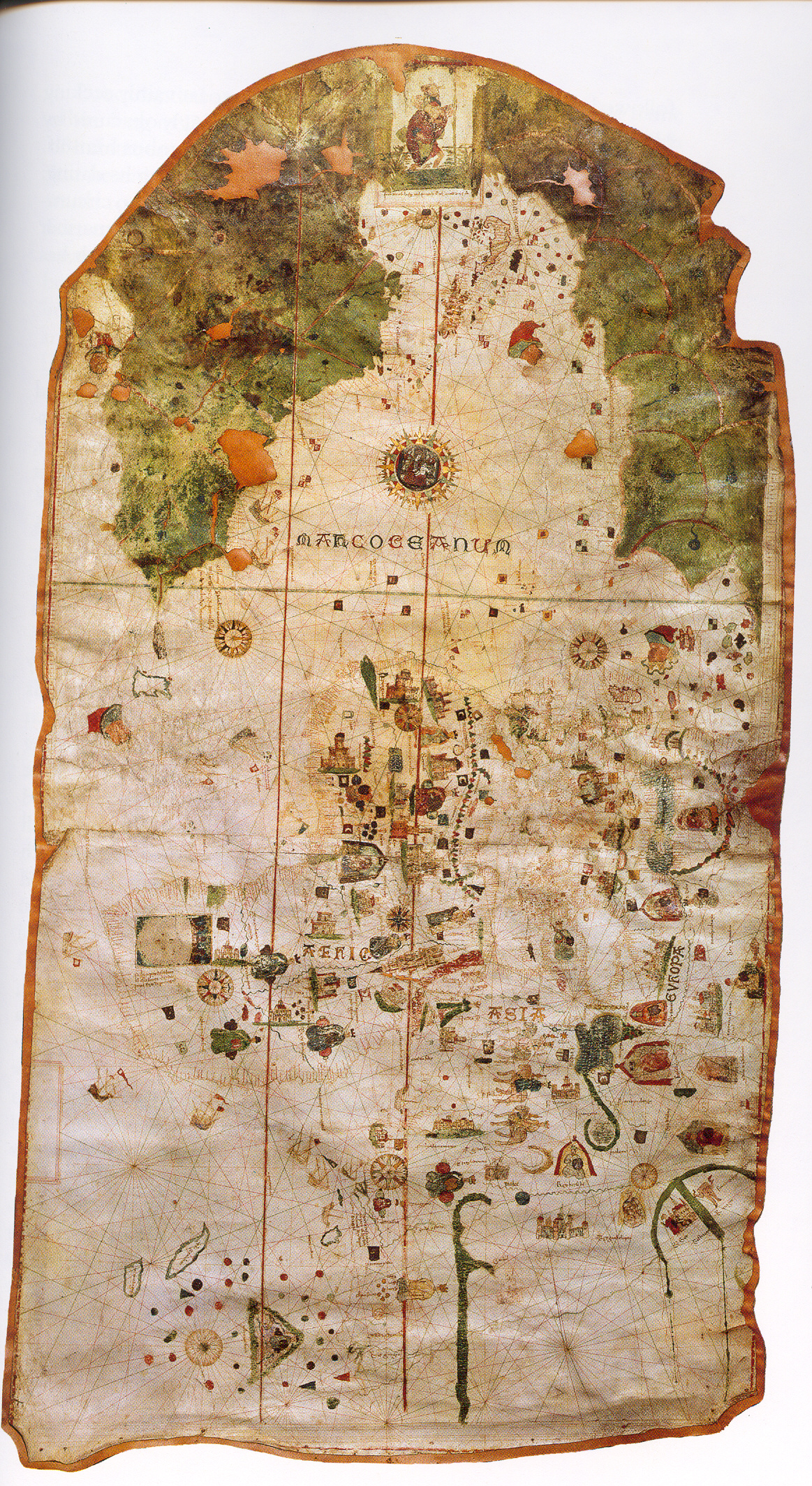
Map of Juan de la Cosa
Juan de la Cosa · 1500
Ready when you are
Start chatting with Alonso Álvarez de Pineda now.
20 messages free · No credit card · Available in 50+ languages.