


Secondary sourceArtifact1964
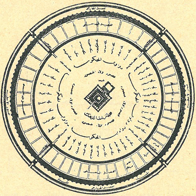
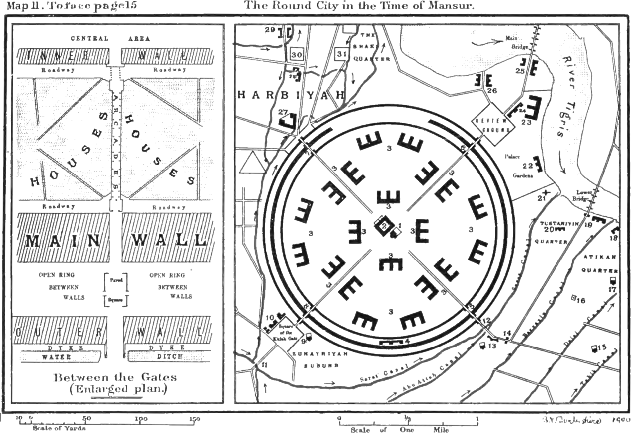
Map of the Round City of Baghdad
Unknown · 1964
A modern map from 1964 showing the circular layout of Baghdad as founded during the Abbasid era, the city al-Mansur established.
Depicts the Round City of Baghdad, which al-Mansur founded as the capital of his caliphate.
About this source
What it is
This is a modern map, made in 1964, showing the layout of the Round City of Baghdad during the Abbasid period. It shows concentric walls, gates, and a central domed structure, with Arabic labels.
Why it matters
Baghdad's Round City was founded during al-Mansur's reign and became the center of Abbasid power. This later reconstruction helps students visualize the planned, symmetrical design of the city, reflecting the ambitions of its founder and the administrative order of his government.
Look closer
- What does the circular design of the city suggest about its planners' priorities?
- Since this map was made centuries later, what sources might its creator have used?
- What might such a symmetrical layout have meant for controlling and defending the city?
This artifact is part of the curated material that grounds the AI version of Caliph al-Mansur on Humy.ai — when students ask about related events, the AI can quote it and cite it.
More Caliph al-Mansur sources
Meet the AI Caliph al-Mansur →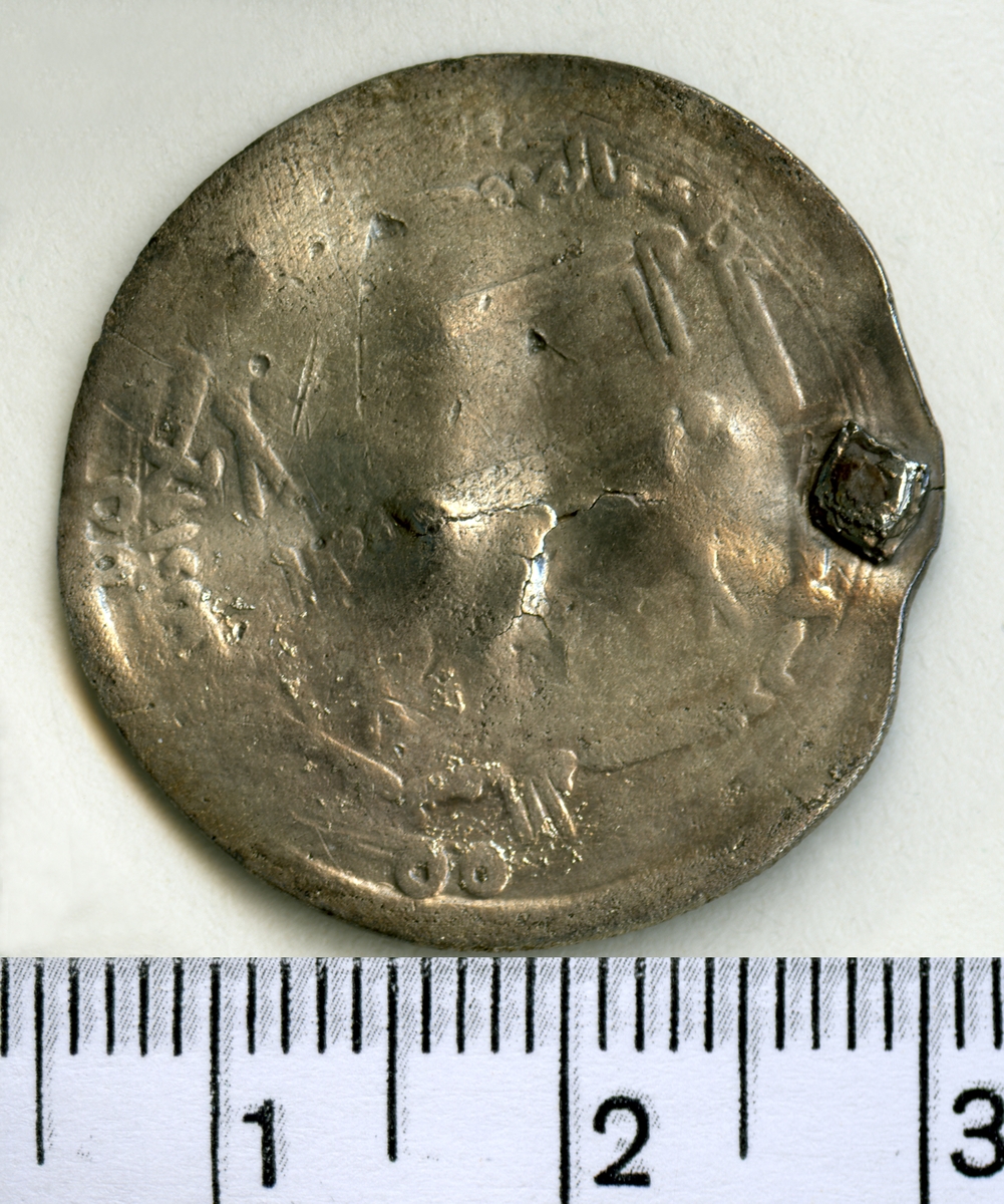 Artifact
Primary source
Coins of the Abbasid Caliphate Issued under al-Mansur
8th century, during al-Mansur's reign (754-775)
 Book
Secondary source
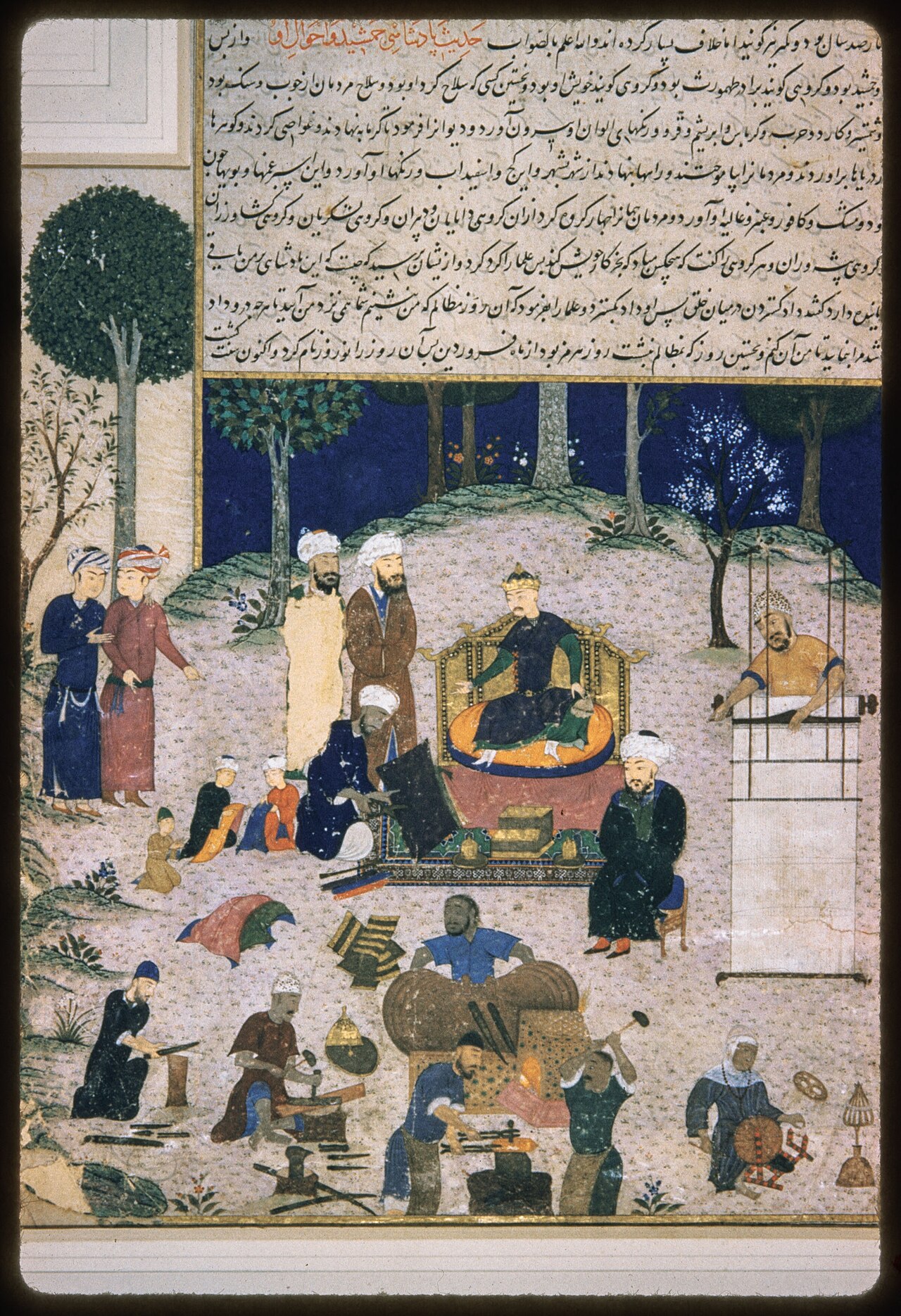
History of the Prophets and Kings
Muhammad ibn Jarir al-Tabari · completed 915 AD
 Artifact
Secondary source
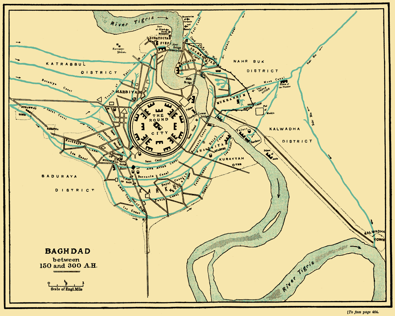
Round City of Baghdad
762–766
 Artifact
Secondary source
Palace of the Golden Gate
763
 Book
Secondary source
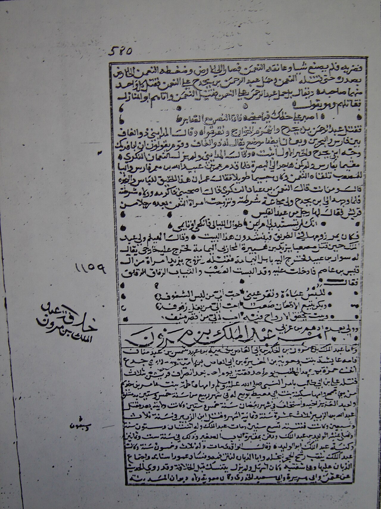
Genealogies of the Nobles
Al-Baladhuri
Ready when you are
Start chatting with Caliph al-Mansur now.
20 messages free · No credit card · Available in 50+ languages.