


Secondary sourceDocument1907
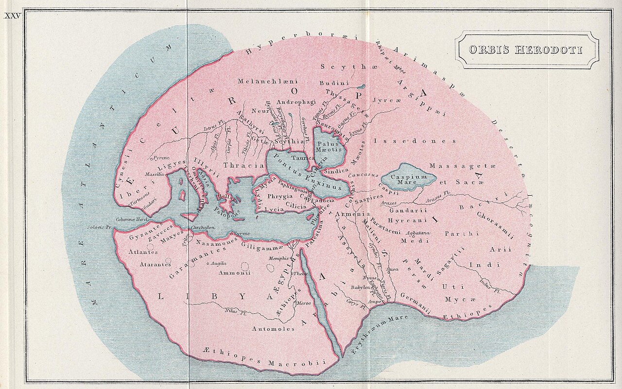
Orbis Herodoti
Samuel Butler · 1907
A hand-coloured 1907 atlas map from Samuel Butler's Atlas of Ancient and Classical Geography. It shows Herodotus's known world as a later scholar reconstructed it.
This atlas map reconstructs the world Herodotus described, showing how a later scholar pictured his geography.
About this source
What it is
This is a hand-coloured map titled ORBIS HERODOTI from The Atlas of Ancient and Classical Geography by Samuel Butler, published in 1907. It shows a circular world with pink landmasses labelled Europa, Asia and Libya, surrounded by blue ocean. Labels include Scythia, Caspian Sea, Nile, Mediterranean and Ethiopes Macrobii. The plate is marked XXV at the upper left.
Why it matters
The map is a scholarly reconstruction of the known world as Herodotus described it. Its labels show how geographers of the early twentieth century read the ancient text. It tells us as much about modern scholarship on Herodotus as about the world he wrote about.
Look closer
- Why is the known world drawn as a circle, and what might that choice suggest?
- Which peoples and places named on the map appear in Herodotus's accounts?
- What does the map leave out that Herodotus's readers would have known about?
This document is part of the curated material that grounds the AI version of Herodotus on Humy.ai — when students ask about related events, the AI can quote it and cite it.
More Herodotus sources
Browse all 86 →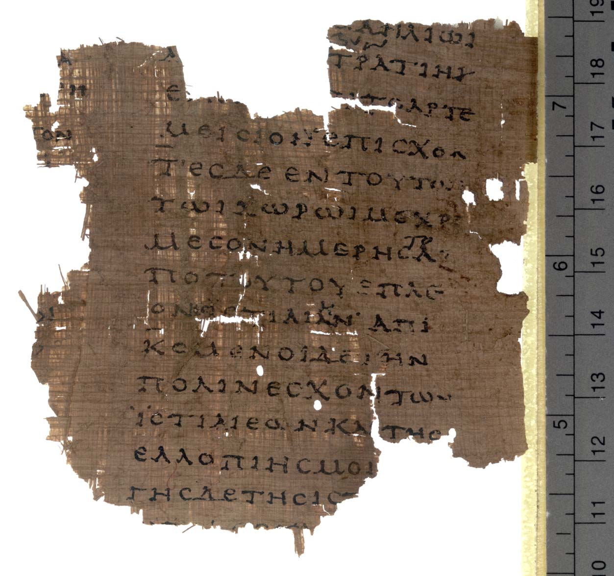 Book
Secondary source
Histories
Herodotus · c. 440 BCE
 Sculpture
Secondary source
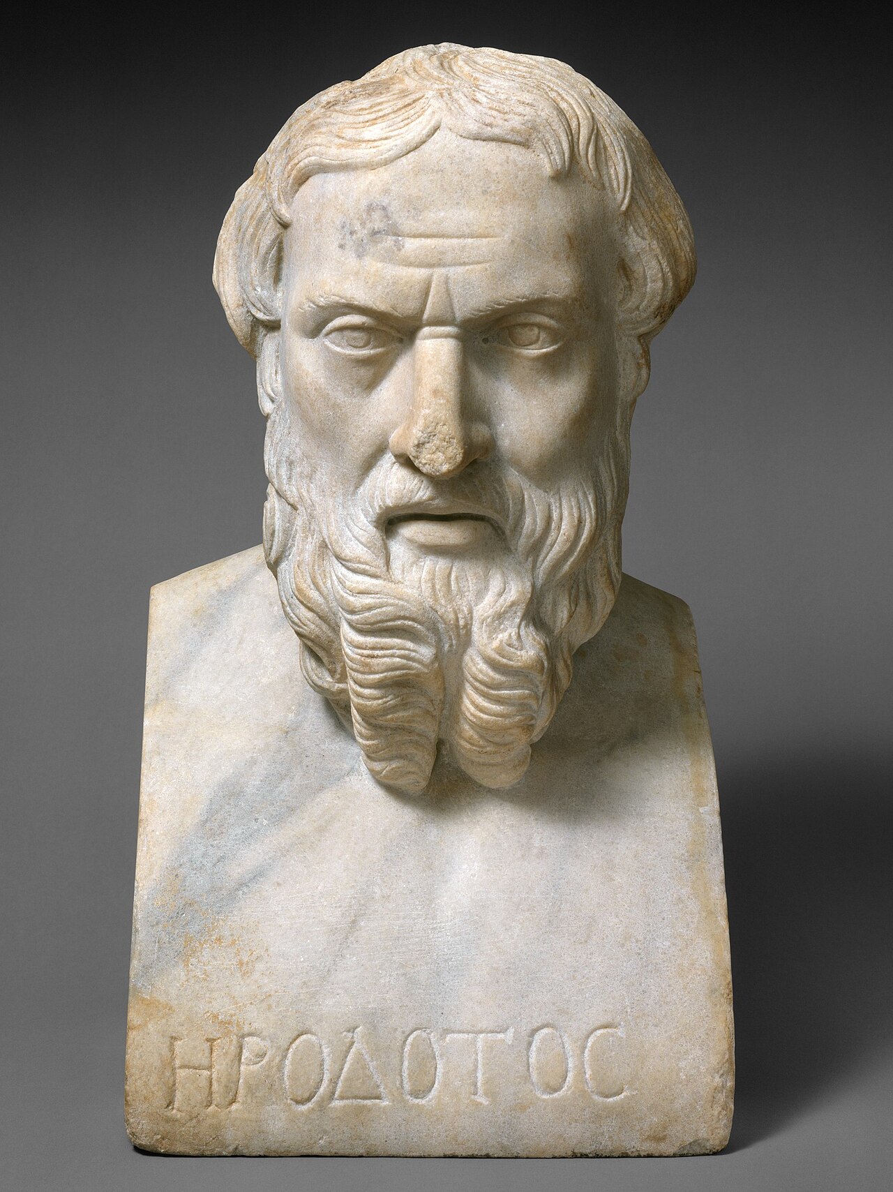
Portrait Bust of Herodotus
Unknown Roman sculptor
 Sculpture
Secondary source
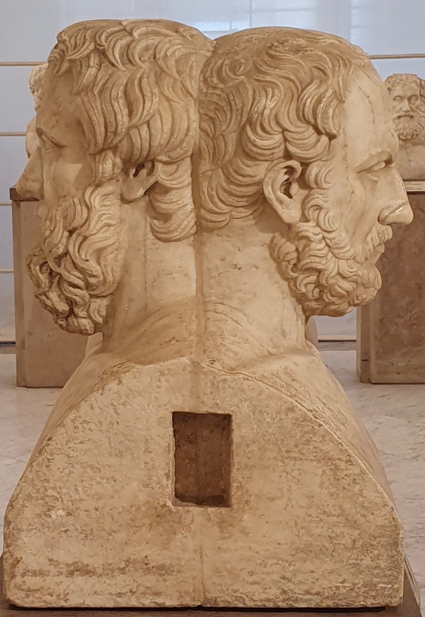
Double Herm of Herodotus and Thucydides
Unknown Roman sculptor after Greek originals · 2nd century AD
 Document
Primary source
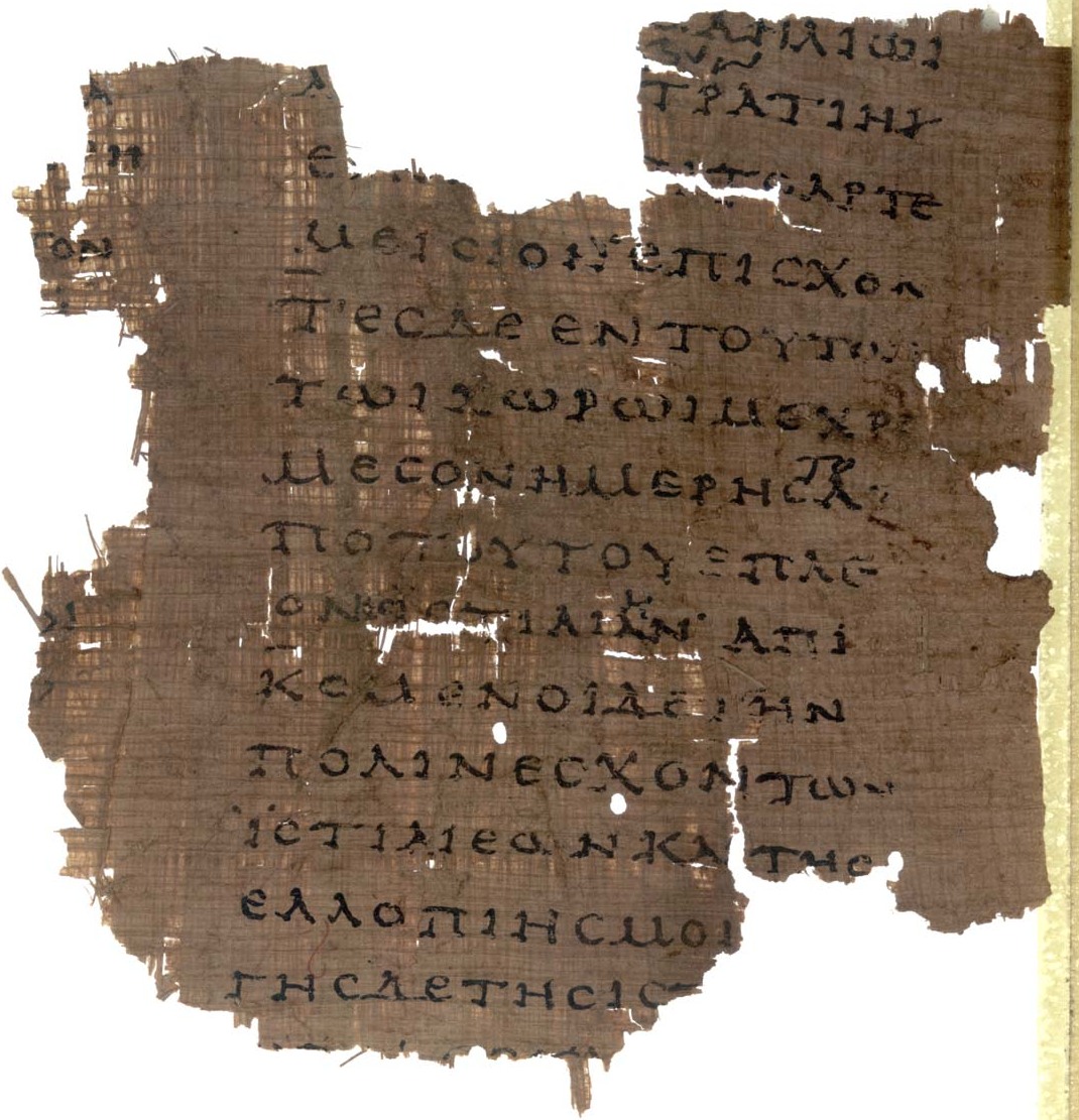
Papyrus Oxyrhynchus 2099
Unknown scribe · early 2nd century AD
Free account
Read every Herodotus source
Sign up free →
Ready when you are
Start chatting with Herodotus now.
20 messages free · No credit card · Available in 50+ languages.