


Primary sourceDocument1513
Piri Reis Map
Piri Reis · 1513
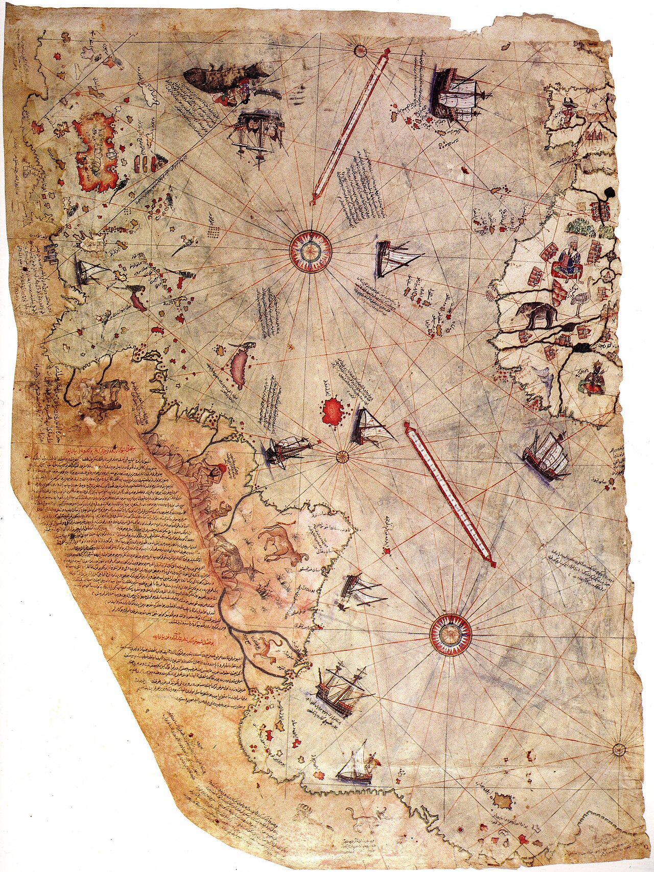
A 1513 world map by Ottoman admiral and cartographer Piri Reis, a navy officer trained under the sultan's commander Kemal Reis.
Made by a navy officer trained under Kemal Reis, who served Bayezid II, this map reflects the maritime culture of his reign.
Free Humy account · No credit card · 120,912 sources to read
About this source
What it is
This is a surviving fragment of a world map drawn in 1513 on gazelle-skin parchment by the Ottoman admiral and cartographer Piri Reis. Only about a third of the original survives, kept today in the Topkapı Palace Museum in Istanbul. It is a portolan chart, with compass roses and bearing lines rather than lines of latitude and longitude, and it carries extensive notes in Ottoman Turkish.
Why it matters
Piri Reis trained as a sailor under his uncle Kemal Reis, who received an official post in the Ottoman navy under Sultan Bayezid II. The map shows the maritime knowledge and ambitions of the Ottoman Empire, and it combines many different sources, including a now-lost map connected to Christopher Columbus's voyages. It was later presented to Sultan Selim I, Bayezid's son, after the Ottoman conquest of Egypt in 1517.
Look closer
- What different sources might Piri Reis have combined to make this map?
- Why does the coastline look different from maps we use today?
- What does this map tell us about how information traveled between cultures in the 1500s?
This document is part of the curated material that grounds the AI version of Bayezid II, Piri Reis and Selim I on Humy.ai — when students ask about related events, the AI can quote it and cite it.
More Bayezid II sources
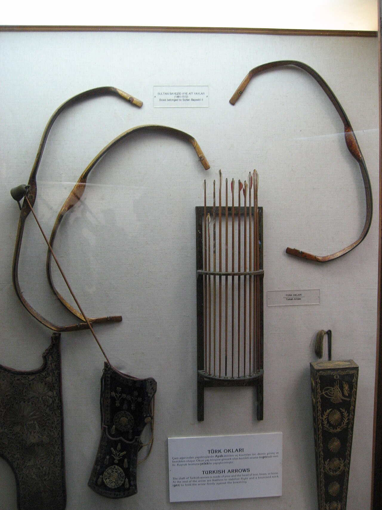
Browse all 79 → Artifact
Primary source
Bayezid II Mosque
Yakubşah ibn Islamşah (attributed) · 1500-1505
 Document
Primary source
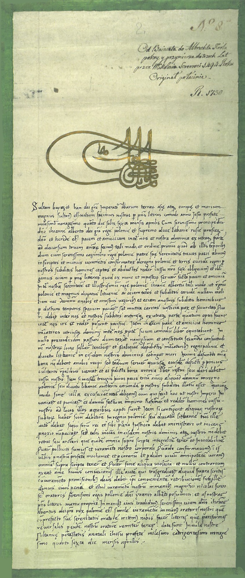
Tughra of Bayezid II
Unknown court calligrapher · 1481-1512
 Painting
Primary source
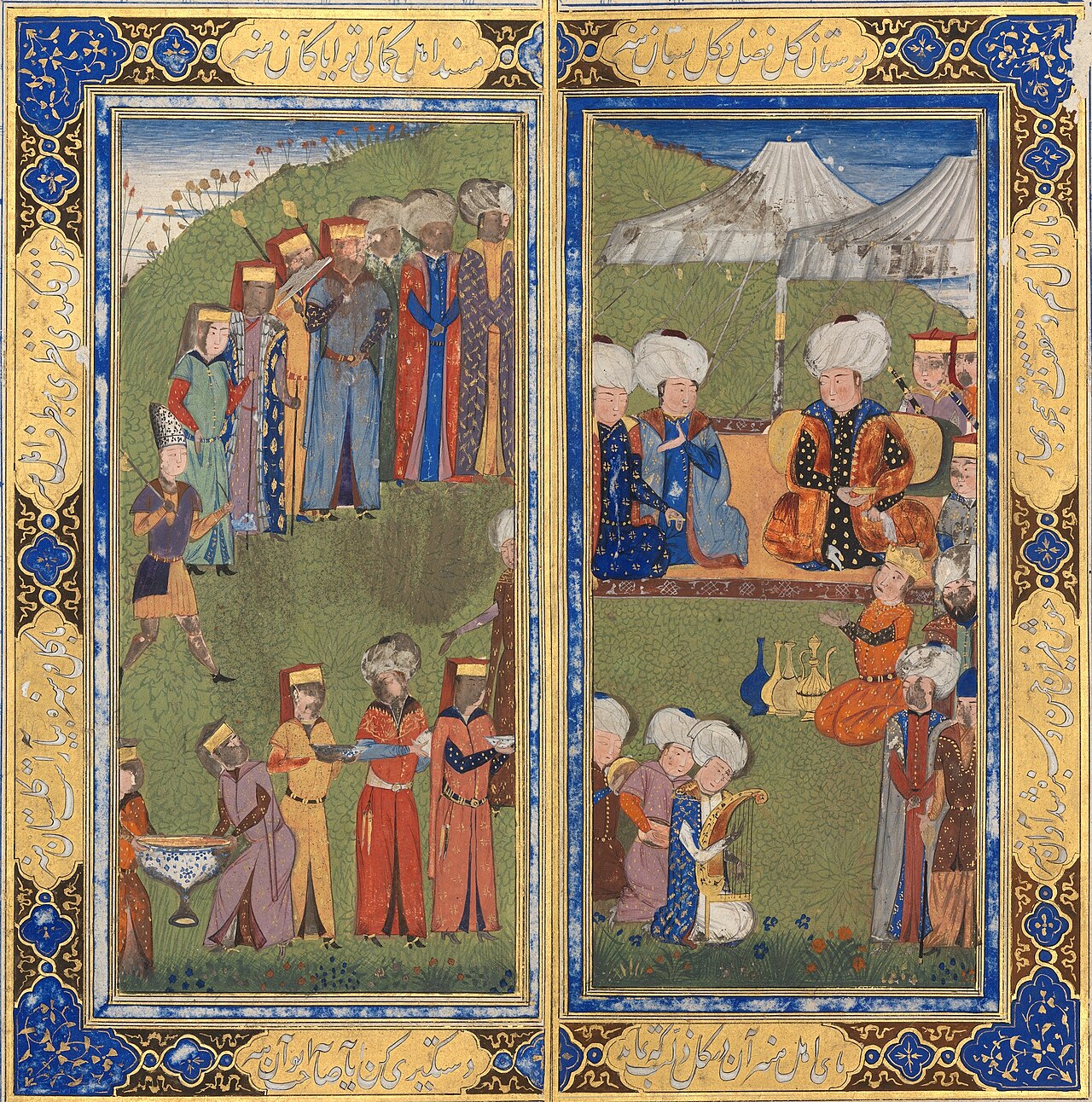
Assembly of Sultan Bayezid II
Darwish Mahmud b. Abdullah nakkash · c. 1495
 Artifact
Primary source
Sultan Bayezid II Complex
Mimar Hayruddin · 1484-1488
Free account
Read every Bayezid II source
Sign up free →
Ready when you are
Start chatting with Bayezid II now.
20 messages free · No credit card · Available in 50+ languages.