


Primary sourceDocument1788
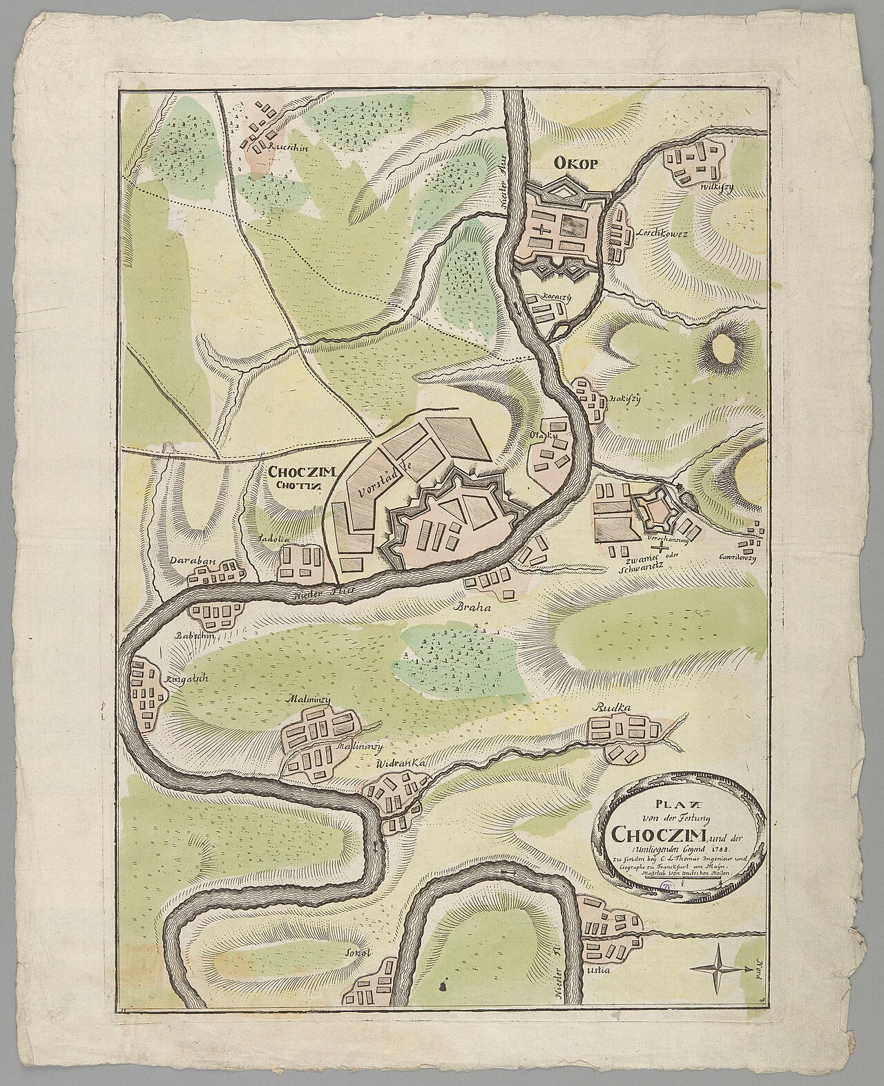
Plan of the Chocim Fortress
Christian Ludwig Thomas · 1788
A 1788 hand-colored map of the Chocim (Khotyn) fortress, part of the Russo-Turkish War campaign directed by Gregory Potyomkin.
This fortress map documents the war campaign that Potyomkin directed as Russia's commanding general.
About this source
What it is
This is a hand-colored copper-engraved map from 1788 by Christian Ludwig Thomas, showing the fortress of Choczim, its surrounding town, the Dniester river and nearby villages.
Why it matters
The map documents a fortress involved in the war against the Ottoman Empire, a campaign that Gregory Potyomkin directed as Russia's military commander. Maps like this were essential tools for planning sieges and movements, and they show how military leaders of the time depended on accurate knowledge of terrain and fortifications.
Look closer
- What details does the mapmaker include, and what might have been left out or simplified?
- Why would a commander like Potyomkin need a map like this before attacking a fortress?
- What can a military map tell us about the technology and priorities of warfare in the 1780s?
This document is part of the curated material that grounds the AI version of Grigory Potemkin on Humy.ai — when students ask about related events, the AI can quote it and cite it.
More Grigory Potemkin sources
Browse all 74 →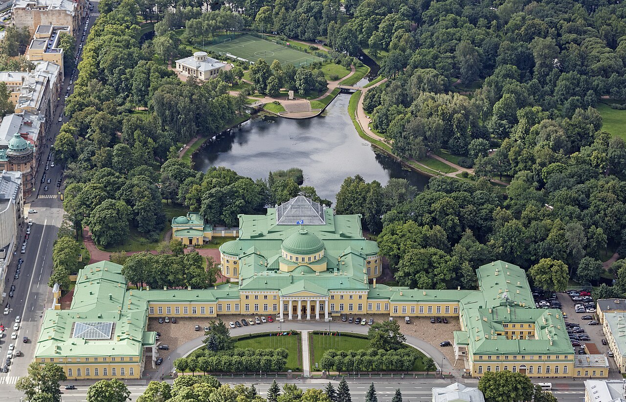 Artifact
Primary source
Tauride Palace
Ivan Starov · 1783
 Artifact
Primary source
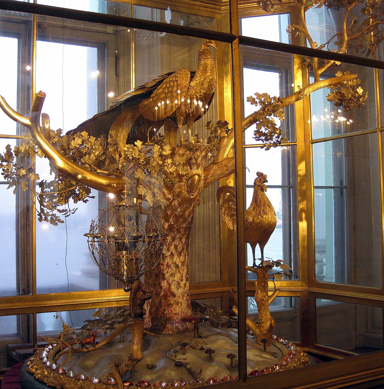
Peacock Clock
James Cox · 1772
 Document
Primary source
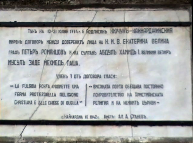
Treaty of Küçük Kaynarca
21 July 1774
 Painting
Primary source
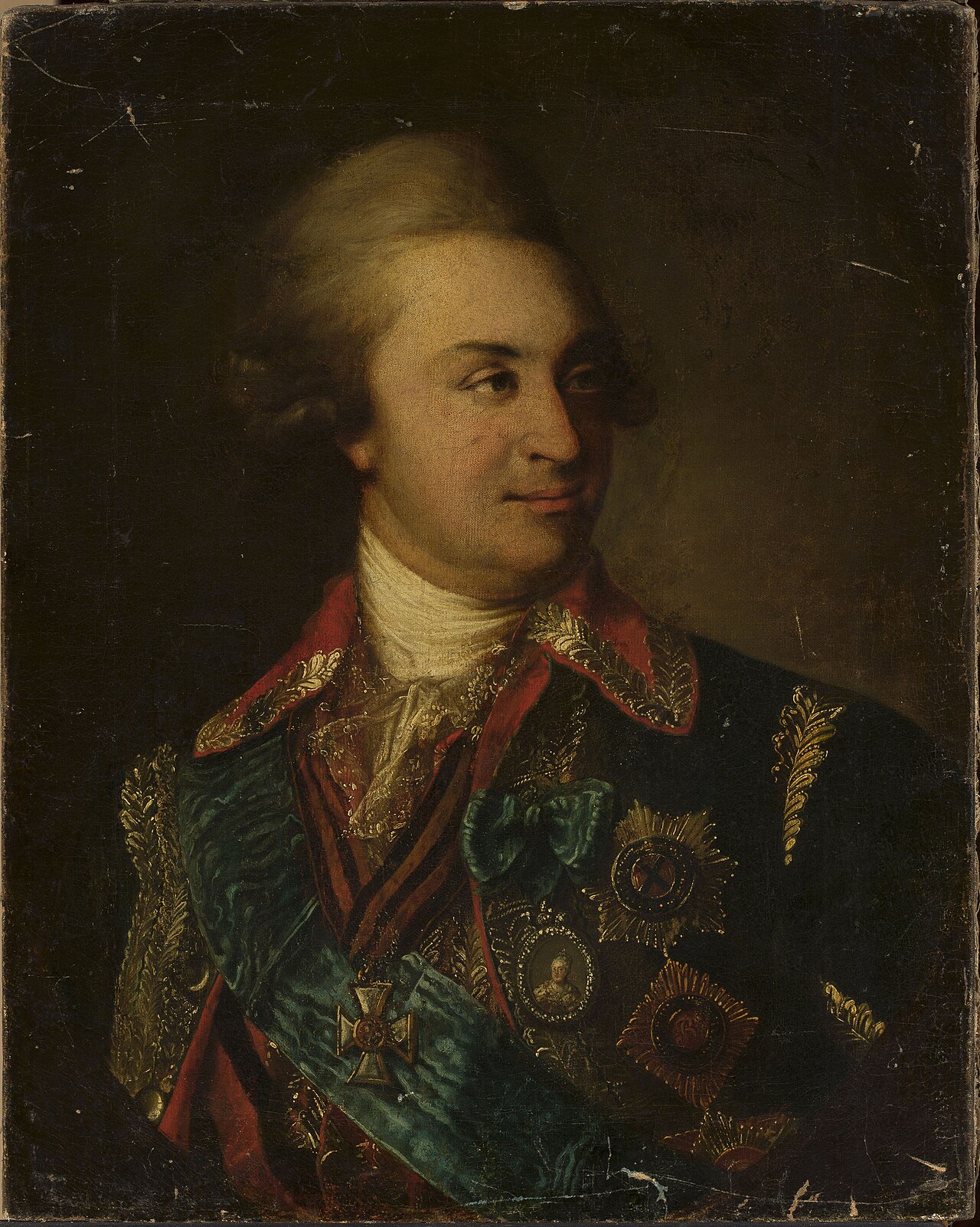
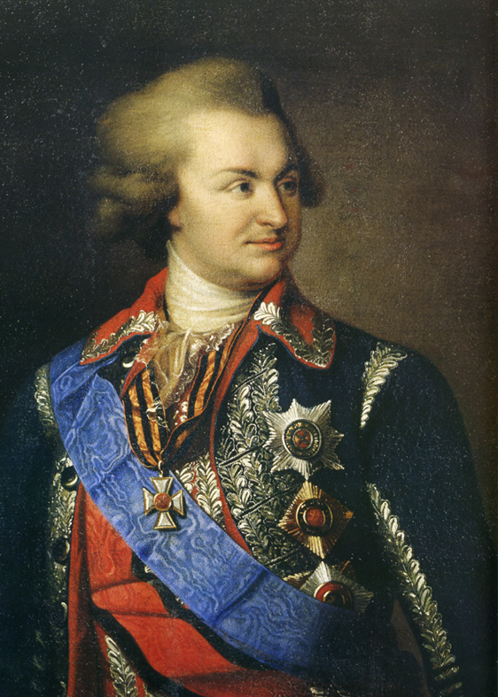
Portrait of Prince Grigory Potemkin with a miniature of Catherine II
1790
Free account
Read every Grigory Potemkin source
Sign up free →
Ready when you are
Start chatting with Grigory Potemkin now.
20 messages free · No credit card · Available in 50+ languages.