


Secondary sourceDocument1774
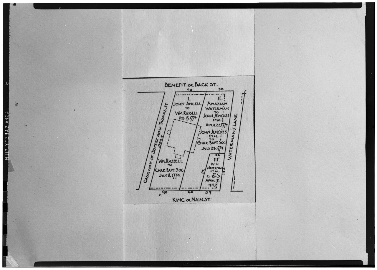
Plot of the Church Land in 1774
1774
A survey plan of the church lot in Providence, as laid out in 1774, showing streets and the land transfers that gave the church its site.
Shows the land the church occupied after Williams's time, including a 1774 sale to the Baptist society, which places the congregation's property in the town he helped found.
About this source
What it is
This is a black-and-white photograph of a hand-drawn plot map on paper, made as a survey of the church lot as laid out in 1774. The map is labeled with street names, including Benefit or Back Street and King or Main Street, and with a 30-foot cartway now called Thomas Street. Lots carry names and dates, including a transfer from William Russell to the Baptist society on July 8, 1774. The image comes from the Historic American Buildings Survey (HABS) collection.
Why it matters
Roger Williams founded the Providence congregation, but he died in 1683, almost a century before this plan was drawn. The map shows how land around the church was bought and divided in the eighteenth century, and how the congregation came to hold its site. It is a secondary record: the photograph of a later plan, used to study how the church property was arranged.
Look closer
- Which names and dates on the map show who owned the land and when it changed hands?
- Why would a plan need to record street names and measurements such as 90 and 60?
- What does the map leave out about the people who lived and worked on this land?
This document is part of the curated material that grounds the AI version of Roger Williams on Humy.ai — when students ask about related events, the AI can quote it and cite it.
More Roger Williams sources
Browse all 84 →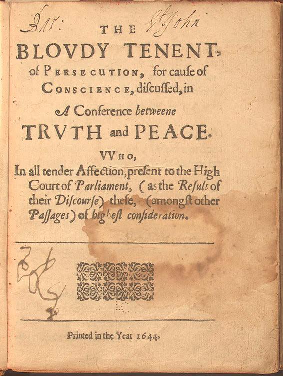 Book
Primary source
The Bloudy Tenent of Persecution for Cause of Conscience
Roger Williams · 1644
 Book
Primary source
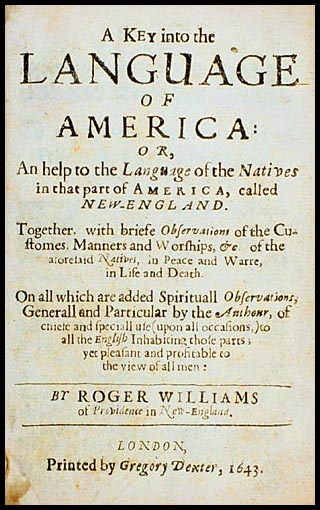
A Key Into the Language of America
Roger Williams · 1643
 Document
Primary source
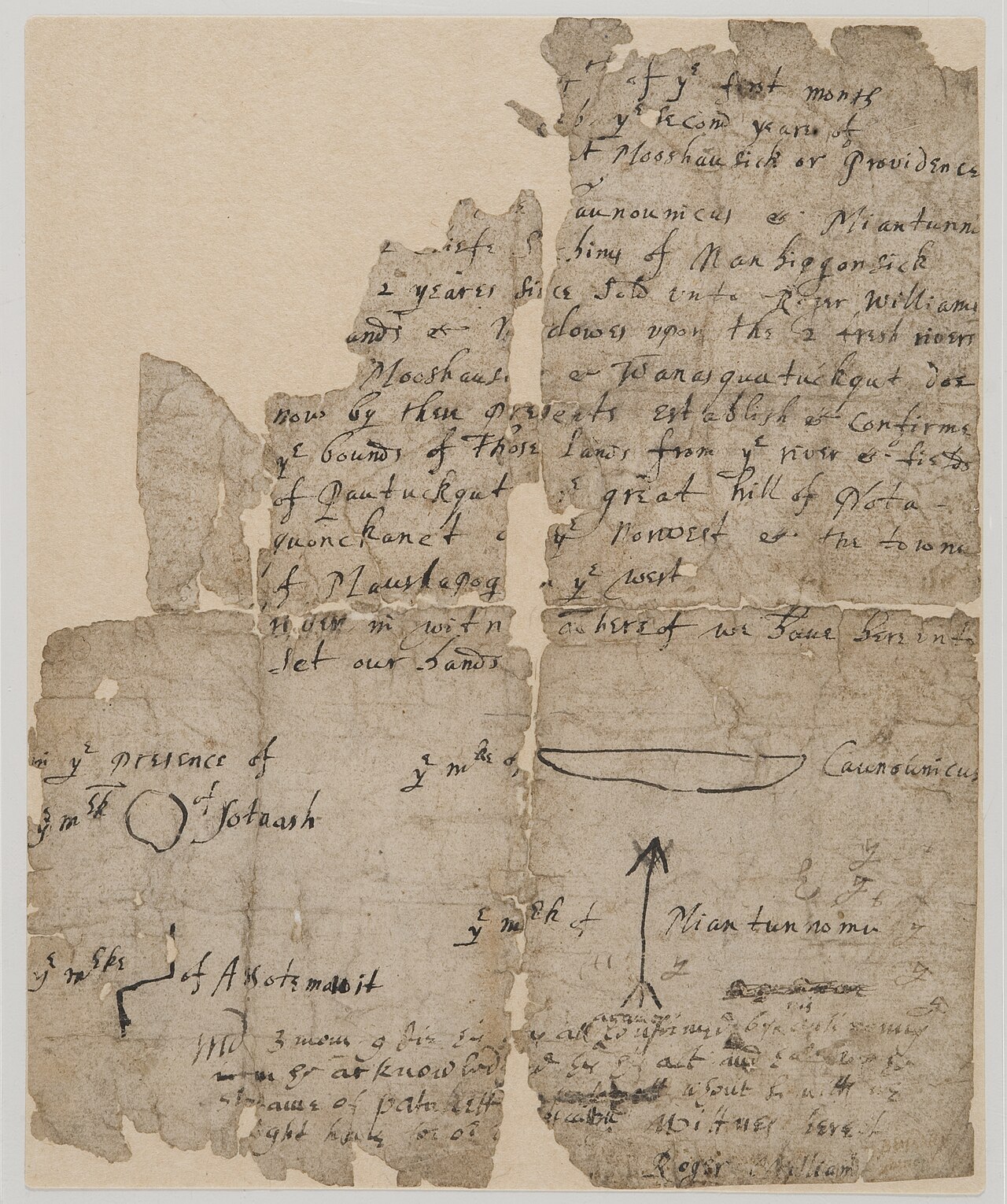
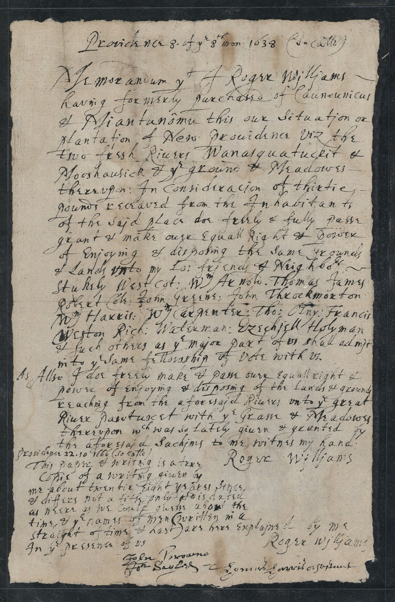
Providence, Rhode Island Original Deed
1636
Primary source
Rhode Island Royal Charter of 1663
Charles II · 1663

Free account
Read every Roger Williams source
Sign up free →
Ready when you are
Start chatting with Roger Williams now.
20 messages free · No credit card · Available in 50+ languages.