


Secondary sourceSculpture2011 (photograph of modern relief)
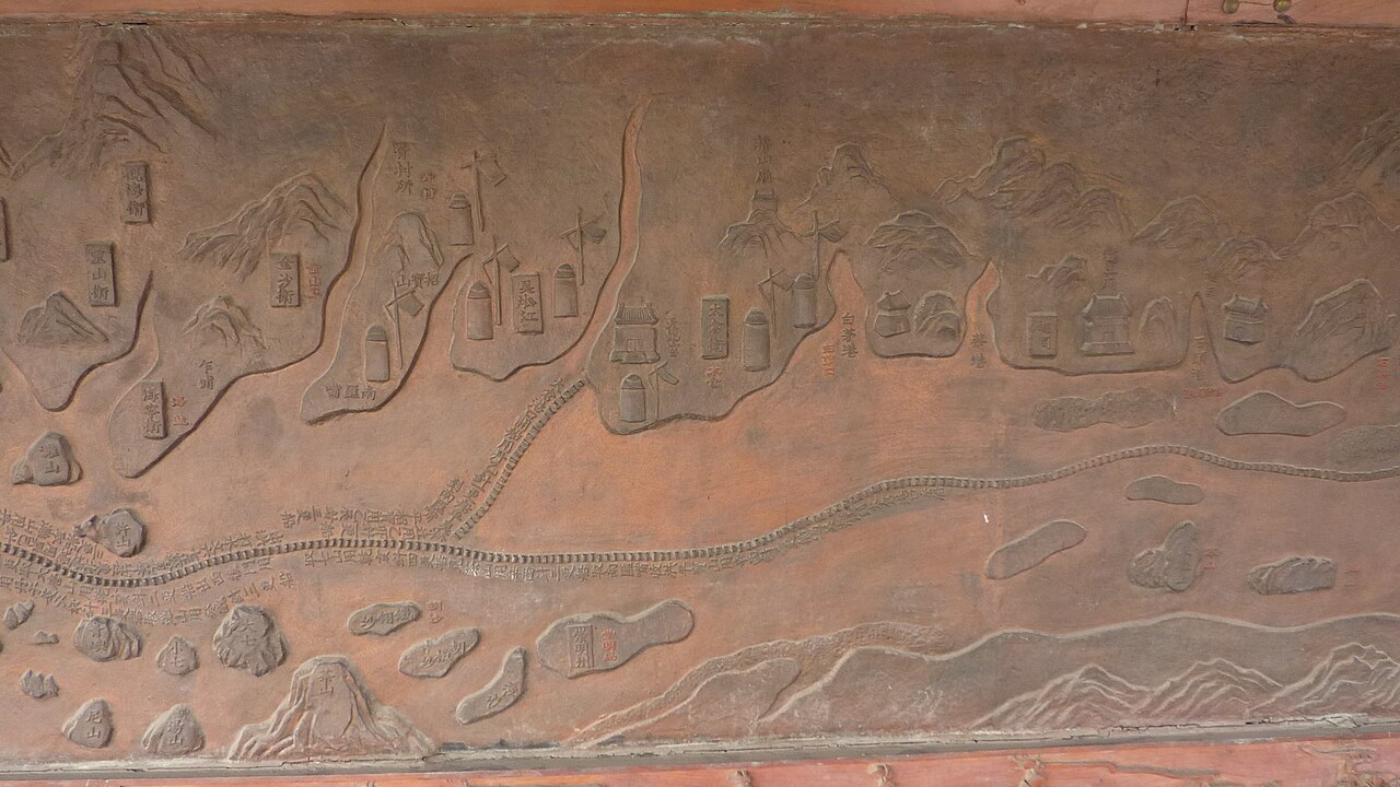
Relief Map of Zheng He's Voyage Route, Treasure Boat Shipyard
User:Vmenkov (photographer) · 2011 (photograph of modern relief)
A modern carved relief based on the Mao Kun map, showing part of the route sailed by Zheng He's fleet near Taicang on the lower Yangtze.
Depicts the route of Zheng He's voyages, based on the historic Mao Kun map.
About this source
What it is
This is a photograph of a carved stone relief on the wall of the Treasure Boat Shipyard Park. The relief shows mountains, rivers and a winding route marked with small carved buildings and pagodas. It is based on the Mao Kun map, a historic navigation chart, and this section shows the Taicang area on the lower Yangtze River.
Why it matters
The relief is a modern commemoration, not an original artifact, but it helps visualize the scale and detail of the voyages led by Zheng He in the fifteenth century. It shows how later generations have used old maps to retell his story.
Look closer
- What details on the relief suggest it was copied from an old map rather than drawn freshly?
- Why might a park choose to carve a voyage route into a wall instead of displaying a flat map?
- What is missing from this relief that a sailor on the real voyage would have experienced?
This sculpture is part of the curated material that grounds the AI version of Zheng He on Humy.ai — when students ask about related events, the AI can quote it and cite it.
More Zheng He sources
Browse all 76 →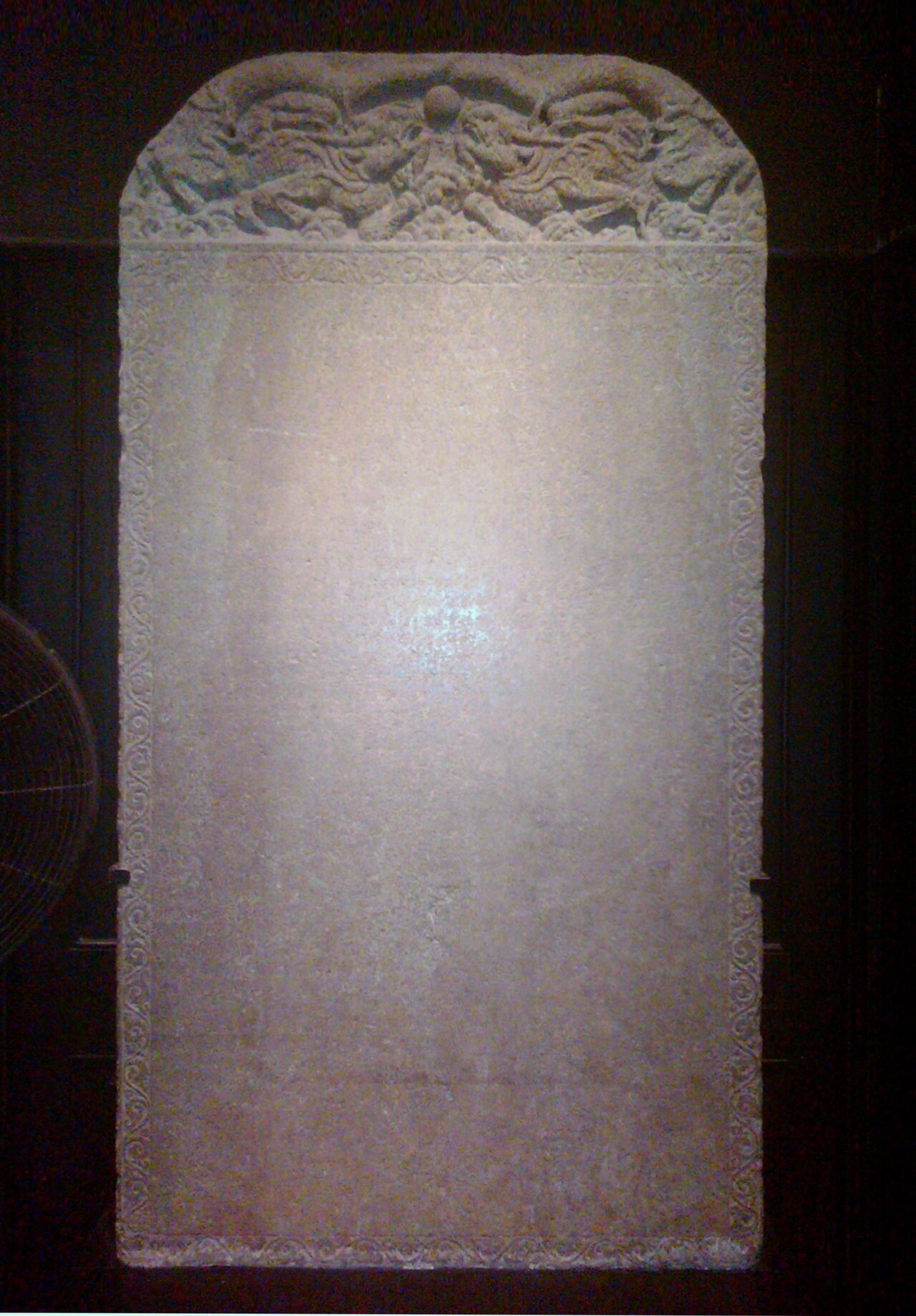 Artifact
Primary source
Galle Trilingual Stele
15 February 1409
 Book
Primary source
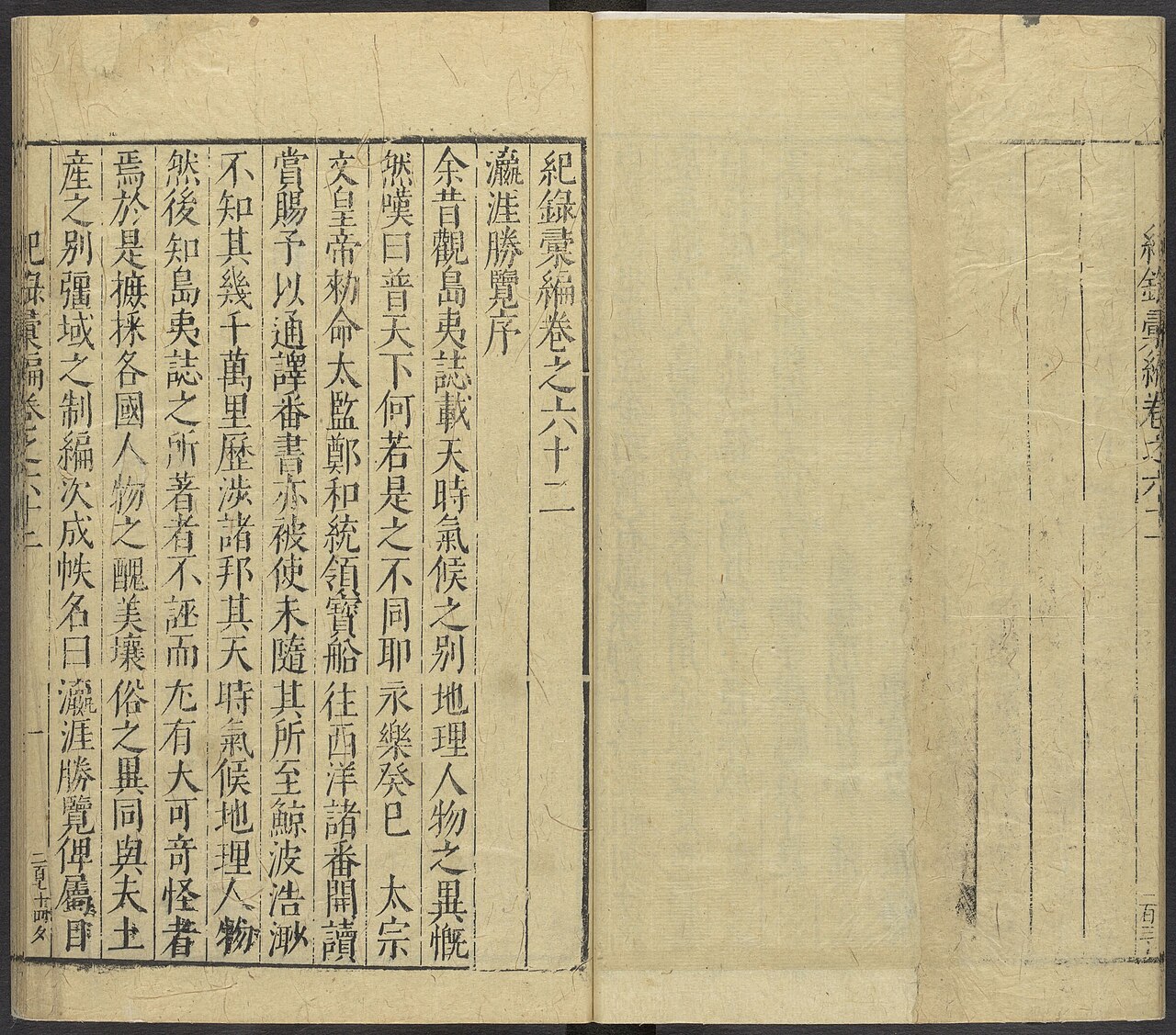
Ying Ya Sheng Lan
Ma Huan · written c. 1416, published 1451
 Document
Secondary source
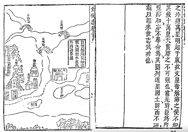
Mao Kun Map
Mao Yuanyi · 1621 (published 1628); believed based on earlier voyage charts
Primary source
Xingcha Shenglan
Fei Xin · 15th century
Free account
Read every Zheng He source
Sign up free →
Ready when you are
Start chatting with Zheng He now.
20 messages free · No credit card · Available in 50+ languages.