


Secondary sourceArtifact2011-02-12
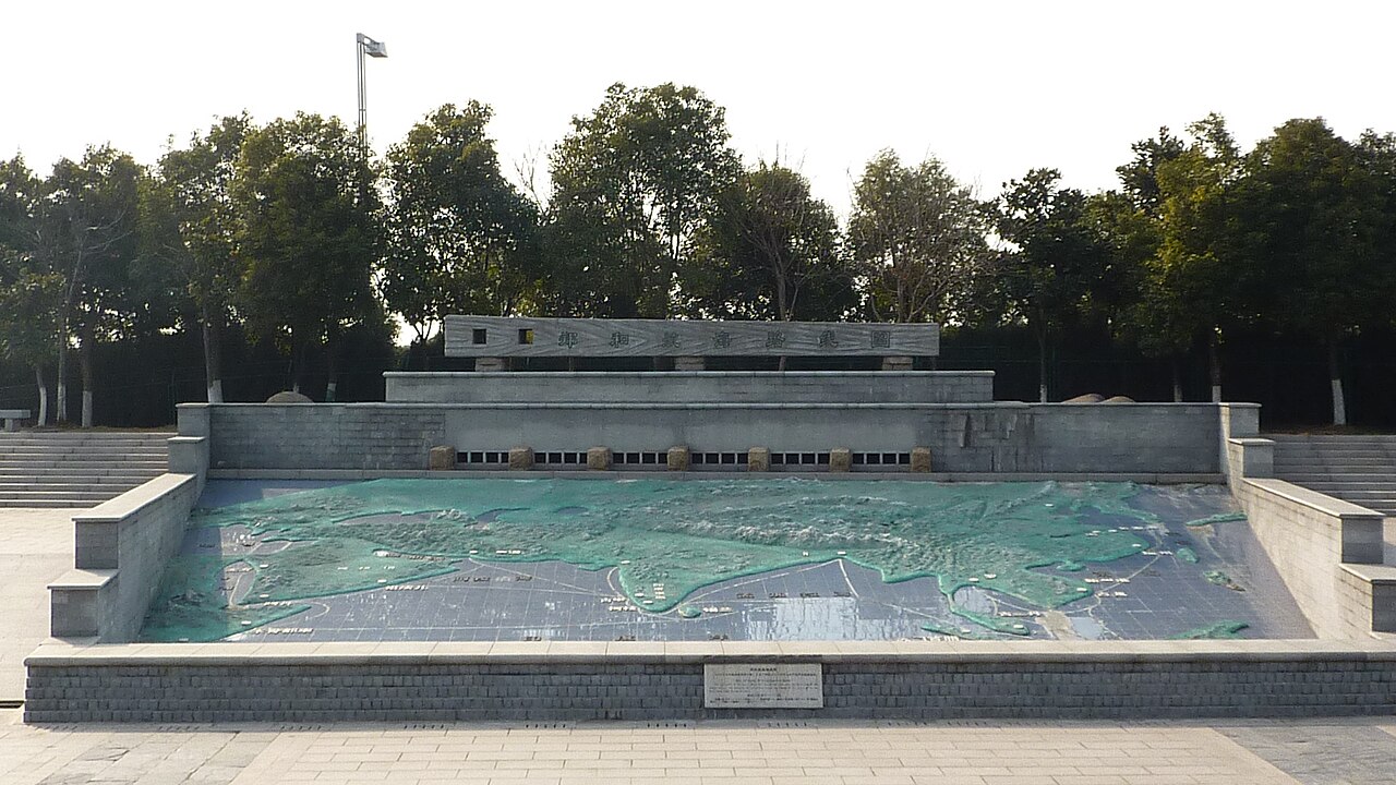
Relief Map of Zheng He's Voyages, Nanjing
Vmenkov · 2011-02-12
A large outdoor relief map at Nanjing's Treasure Boat Shipyard site showing the routes of Zheng He's seven voyages.
The map memorializes the full extent of the sea voyages that Zheng He commanded.
About this source
What it is
This photograph shows a monumental relief map built into a sunken stone basin at the Treasure Boat Shipyard site in Nanjing. It depicts the sea routes travelled by Zheng He's fleets, painted green for land and blue-grey for water.
Why it matters
Zheng He led seven major naval expeditions from China across Southeast Asia, the Indian Ocean, and toward the Middle East and East Africa. This memorial map helps visitors visualize the extraordinary scope of these voyages, which connected China to dozens of distant lands centuries before European exploration reached similar distances.
Look closer
- What does the scale of this map suggest about the ambition of Zheng He's voyages?
- Why might the city of Nanjing want to commemorate these routes so visibly?
- What questions does a map like this leave unanswered about the actual experience of the voyages?
This artifact is part of the curated material that grounds the AI version of Zheng He on Humy.ai — when students ask about related events, the AI can quote it and cite it.
More Zheng He sources
Browse all 76 →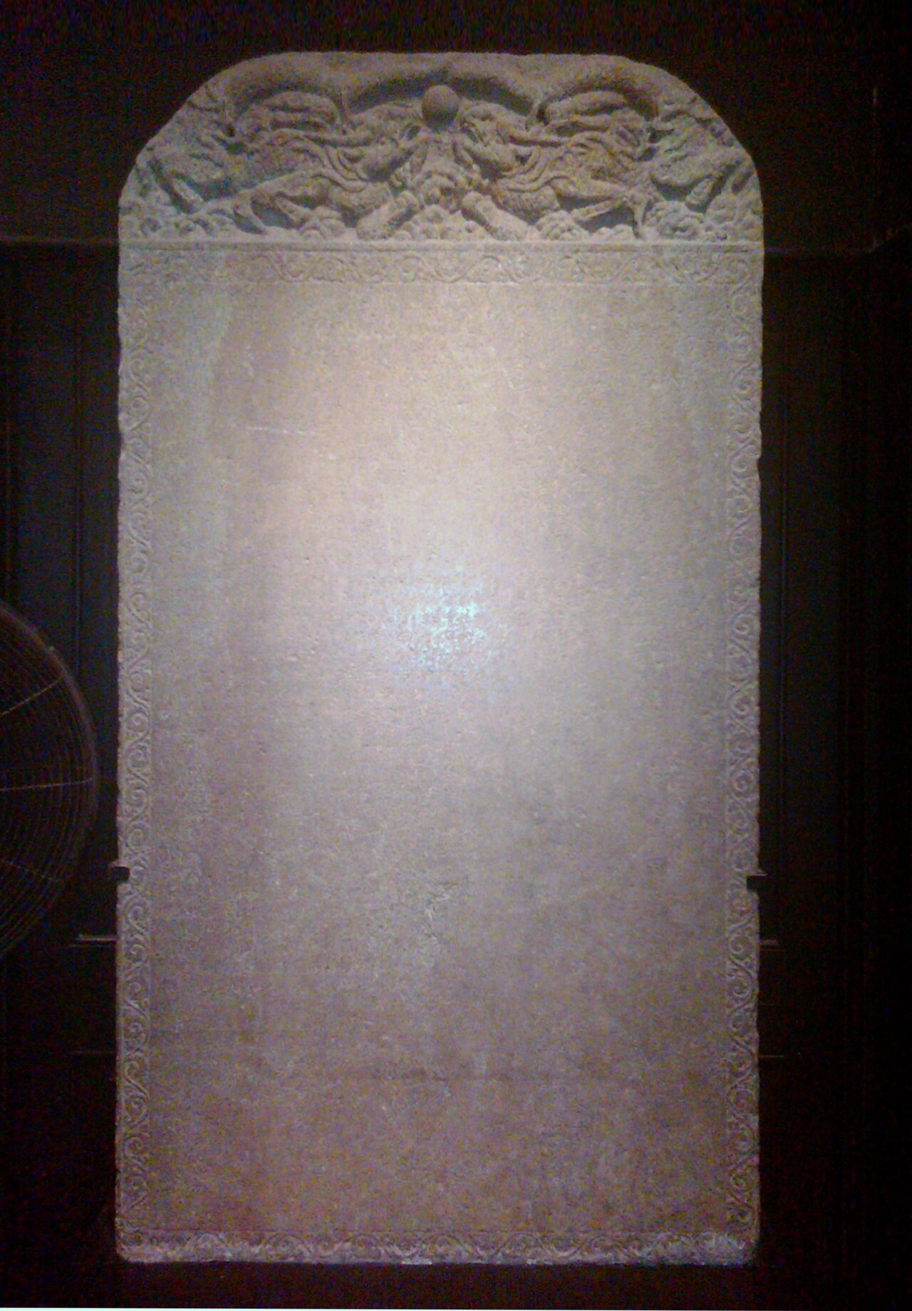 Artifact
Primary source
Galle Trilingual Stele
15 February 1409
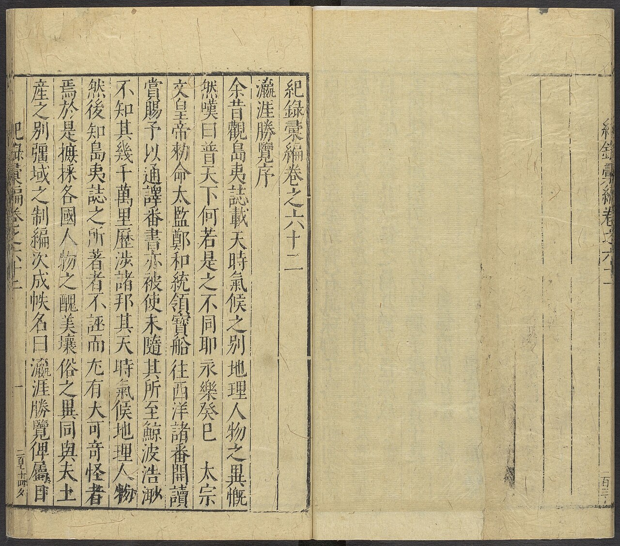 Book
Primary source
Ying Ya Sheng Lan
Ma Huan · written c. 1416, published 1451
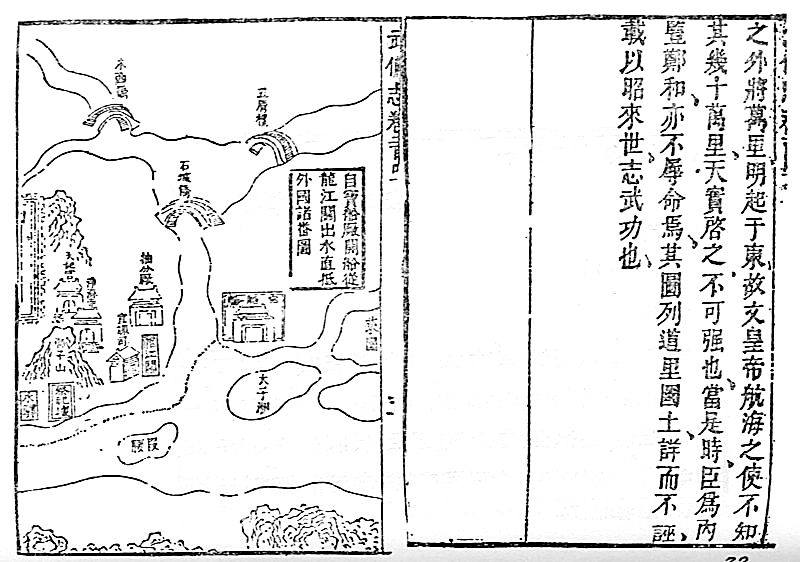 Document
Secondary source
Mao Kun Map
Mao Yuanyi · 1621 (published 1628); believed based on earlier voyage charts
Primary source
Xingcha Shenglan
Fei Xin · 15th century
Free account
Read every Zheng He source
Sign up free →
Ready when you are
Start chatting with Zheng He now.
20 messages free · No credit card · Available in 50+ languages.