


Secondary sourceArtifactOctober 2007
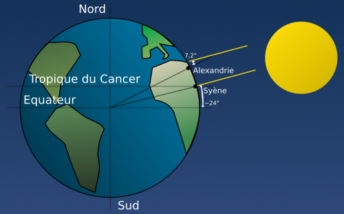
Schema of Eratosthenes' Measurement of the Earth (French)
Raphael Javaux · October 2007
A modern French diagram explaining how Eratosthenes calculated the Earth's circumference using the angle of sunlight at Alexandria and Syene.
This modern diagram illustrates the geometric method Eratosthenes devised to measure the Earth's circumference.
About this source
What it is
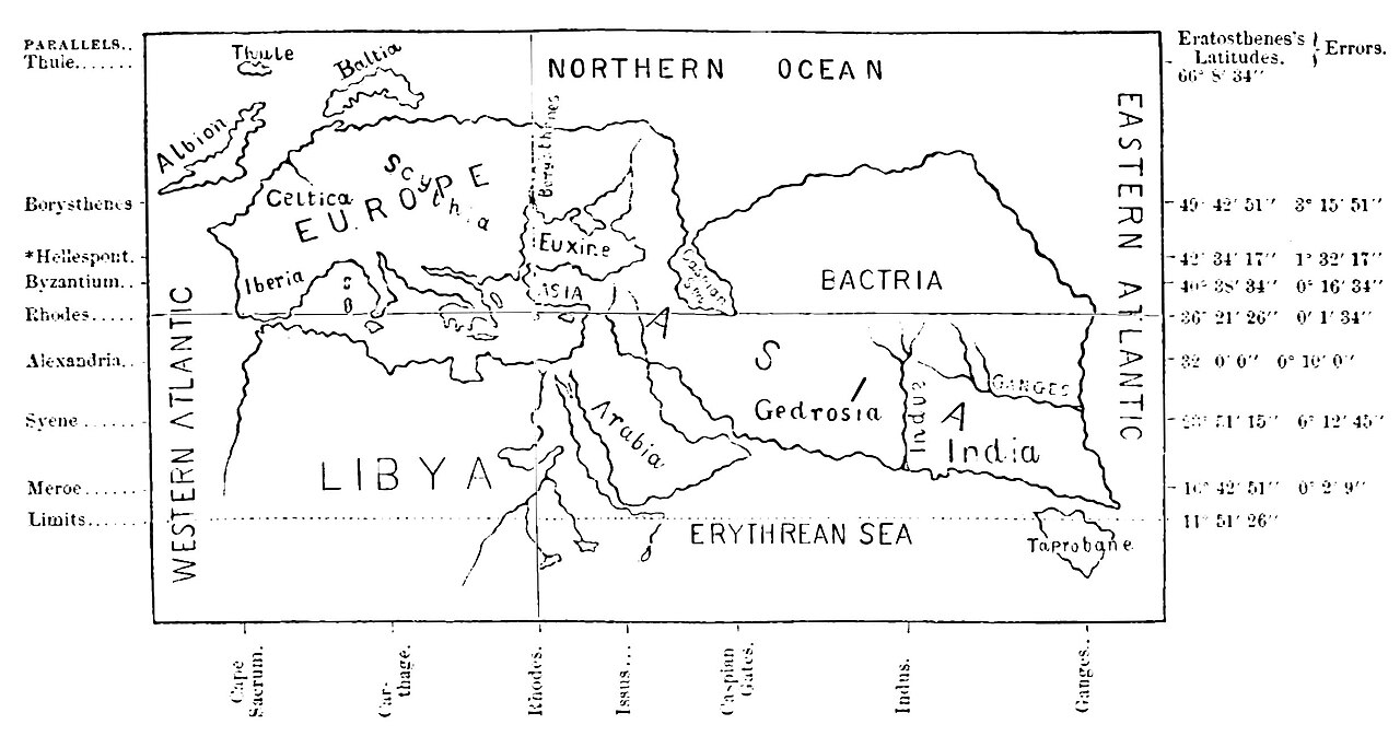
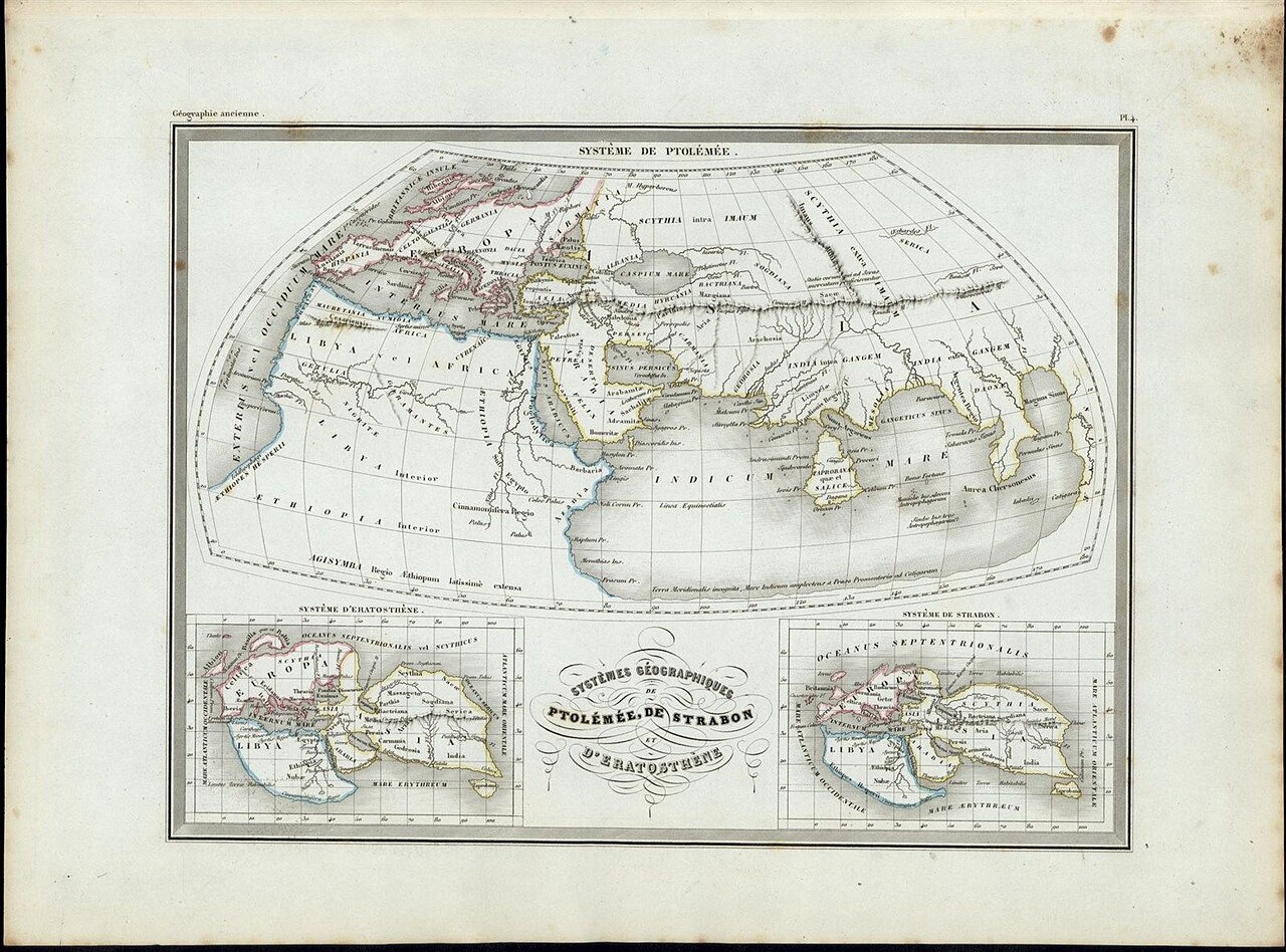
This is a modern diagram, made in 2007 by Raphael Javaux, illustrating the method Eratosthenes used to calculate the circumference of the Earth. It shows the Earth with the poles, equator and Tropic of Cancer marked, along with the cities of Alexandria and Syene and the angle of sunlight between them.
Why it matters
Eratosthenes is famous for estimating the Earth's size using geometry and the difference in the sun's angle between two cities. This modern teaching diagram helps explain that ancient calculation, though it is not an original source — it was created in 2007 to make the ancient method easier to understand.
Look closer
- What two measurements did Eratosthenes need to make his calculation work?
- Why do you think the diagram uses simplified numbers and shapes rather than Eratosthenes' own methods?
- What assumptions does this method rely on about the Earth's shape?
This artifact is part of the curated material that grounds the AI version of Eratosthenes on Humy.ai — when students ask about related events, the AI can quote it and cite it.
More Eratosthenes sources
Browse all 52 → Book
Secondary source
Geography
Strabo · c. 20 AD
 Letter
Primary source
The Method of Mechanical Theorems
Archimedes · c. 250 BCE
 Document
Secondary source
Suda
various authors · c. 1000
Secondary source
Natural History, Book 2, on Eratosthenes' Earth Measurement
Pliny the Elder · c. 77 CE
Free account
Read every Eratosthenes source
Sign up free →
Ready when you are
Start chatting with Eratosthenes now.
20 messages free · No credit card · Available in 50+ languages.