


Secondary sourceArtifact1544
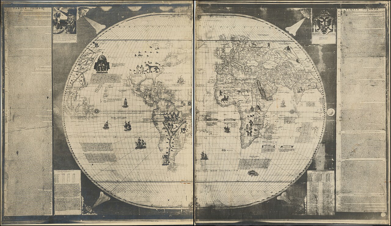
Sebastian Cabot's World Map of 1544
Sebastian Cabot · 1544
A printed map made by John Cabot's son Sebastian, marking the first land sighted near Cape Breton and asserting the family's claim to the discovery.
Made by Cabot's own son, this map records a family claim about where and when John Cabot's landfall occurred.
About this source
What it is
This printed world map was made by Sebastian Cabot, son of John Cabot, and published in Antwerp in 1544. It survives today at the Bibliothèque nationale de France. Near Cape Breton it carries a handwritten Latin label marking the 'first land seen'.
Why it matters
The map is one of the main sources used to debate where John Cabot actually landed in North America. Sebastian's inscription also claims that he and his father discovered the land together in 1494, three years earlier than John Cabot's known 1497 voyage — a claim historians treat with caution, since it was made decades later by Sebastian himself and promoted his own role.
Look closer
- Why might Sebastian Cabot want to claim an earlier discovery date than the one usually recorded?
- What problems arise when the only record of an event comes from a relative of the person involved?
- How does a map like this shape later arguments about history?
This artifact is part of the curated material that grounds the AI version of John Cabot (Giovanni Caboto) on Humy.ai — when students ask about related events, the AI can quote it and cite it.
More John Cabot (Giovanni Caboto) sources
Meet the AI John Cabot (Giovanni Caboto) →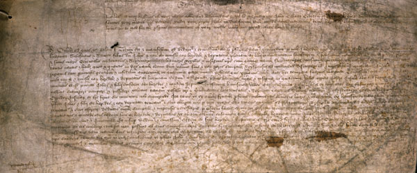 Document
Primary source
Letters Patent to John Cabot
Henry VII of England · 5 March 1496
 Document
Primary source
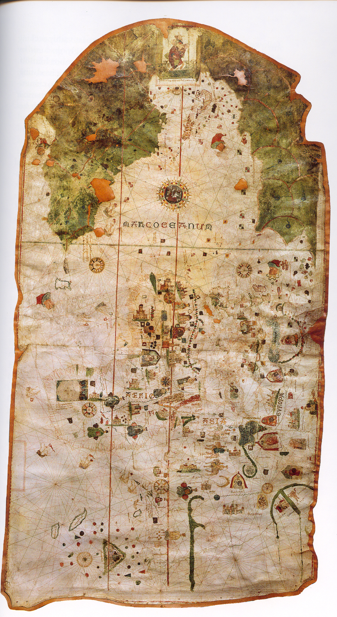
Map of Juan de la Cosa
Juan de la Cosa · 1500
 Document
Primary source
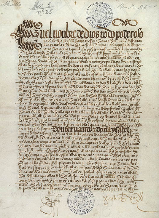
Treaty of Tordesillas
7 June 1494
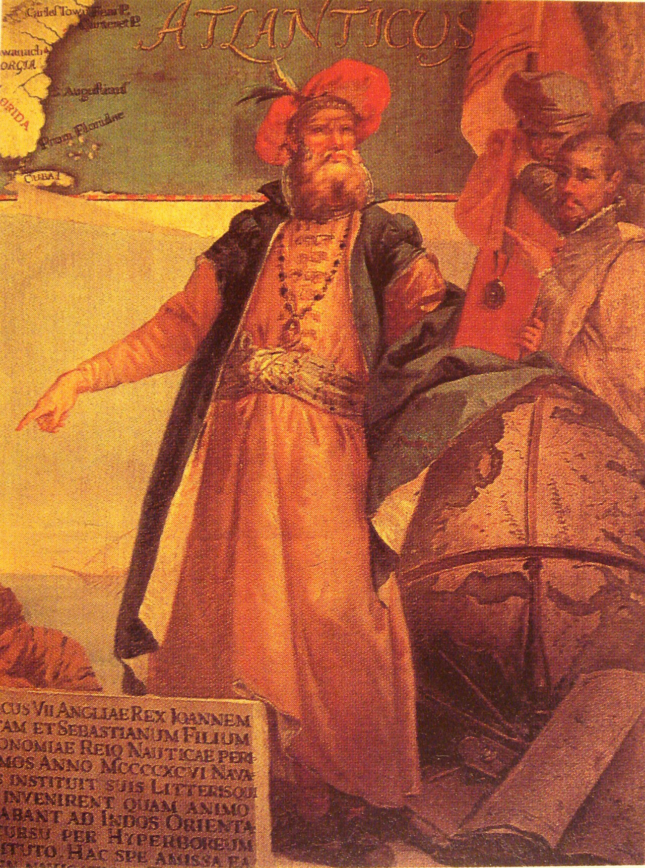 Painting
Secondary source
Portrait of John Cabot
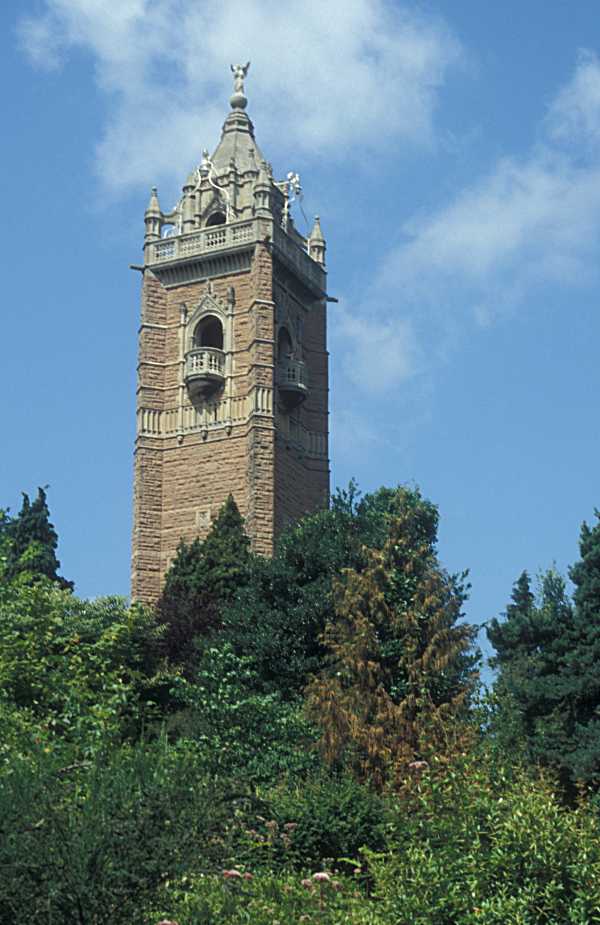 Artifact
Secondary source
Cabot Tower, Bristol
William Venn Gough · 1898
Ready when you are
Start chatting with John Cabot (Giovanni Caboto) now.
20 messages free · No credit card · Available in 50+ languages.