


Secondary sourceDocument1931
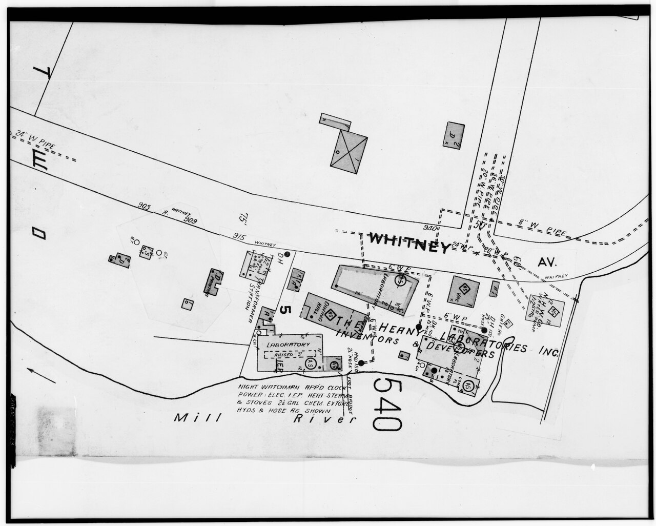
Site Plan of the Eli Whitney Armory, 1931
David Sharpe · 1931
A 1931 Sanborn insurance map showing the layout of buildings at the armory site founded by Eli Whitney, used for fire-insurance purposes.
Documents the later layout of the armory grounds originally established by Whitney, long after his lifetime.
About this source
What it is
This is a fire insurance site plan, based on a Sanborn insurance map updated in 1931, showing the layout of buildings, streets and pipelines at the site of the Eli Whitney Armory. It was compiled by David Sharpe as part of a historic documentation project.
Why it matters
Insurance maps like this were made to record building materials, fire risks and equipment for insurance companies, not to celebrate history. This one shows how the armory site had been subdivided and used by other companies long after Whitney's death, illustrating the site's changing industrial uses.
Look closer
- What kinds of information would an insurance company need from a map like this?
- What businesses or uses are listed on the plan, and what does that tell you about the site's later history?
- Why is a map like this useful to historians even though it was not made for them?
This document is part of the curated material that grounds the AI version of Eli Whitney on Humy.ai — when students ask about related events, the AI can quote it and cite it.
More Eli Whitney sources
Meet the AI Eli Whitney →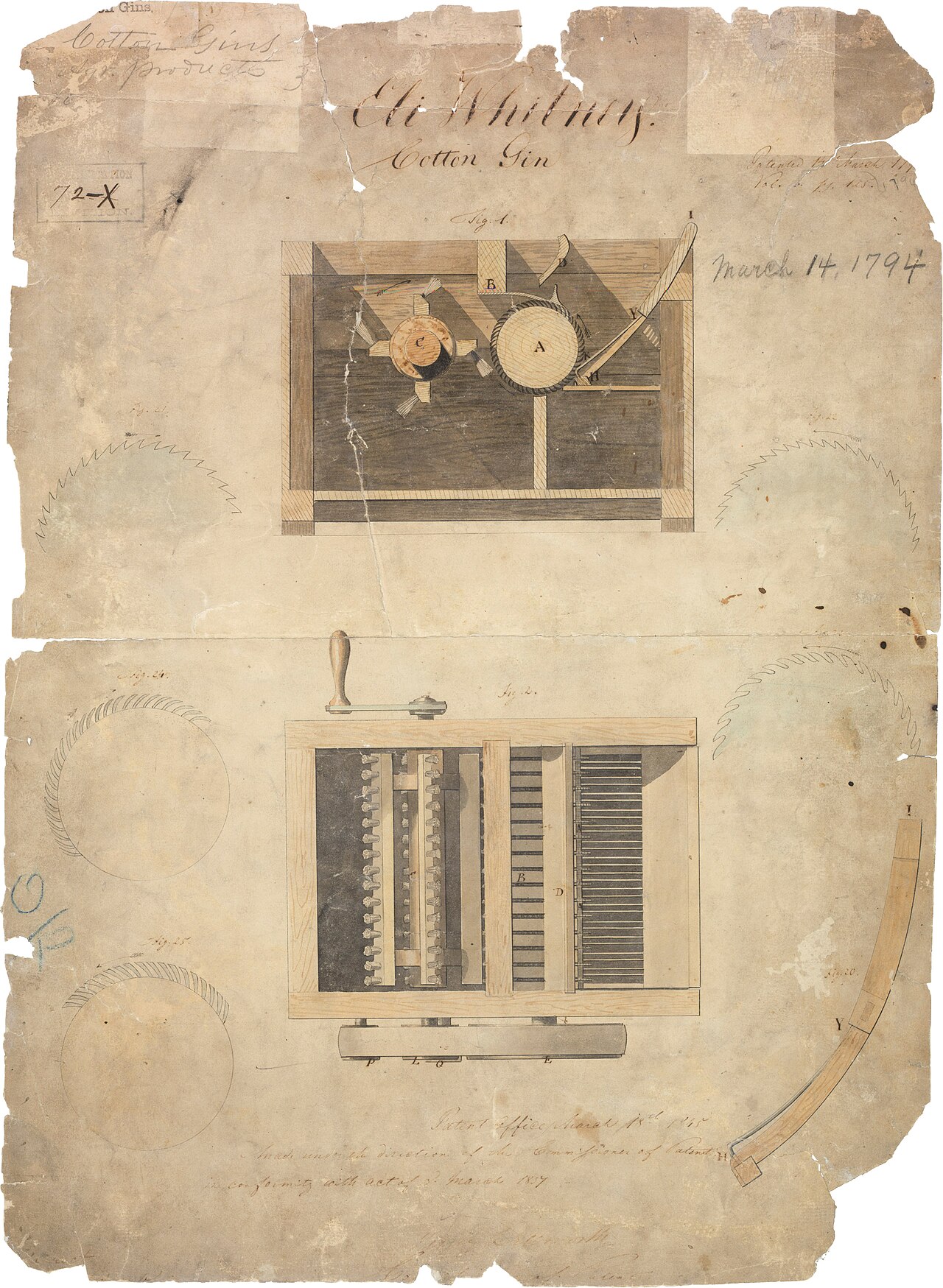 Document
Primary source
Patent for Cotton Gin
Eli Whitney · 14 March 1794
 Artifact
Primary source
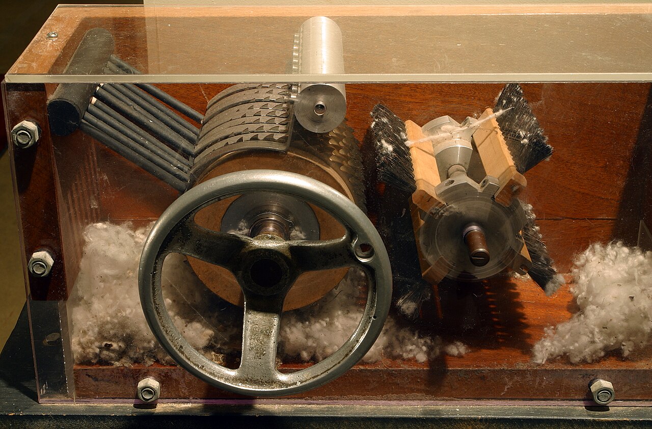
Cotton Gin
Eli Whitney · 1794
 Letter
Primary source
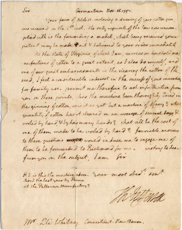
Letter Thomas Jefferson to Eli Whitney 1793
Thomas Jefferson · 16 November 1793
 Document
Primary source
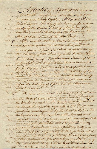
Eli Whitney's First Contract as a Gunfounder
Eli Whitney, Oliver Wolcott, Jr. · 1798
 Painting
Primary source
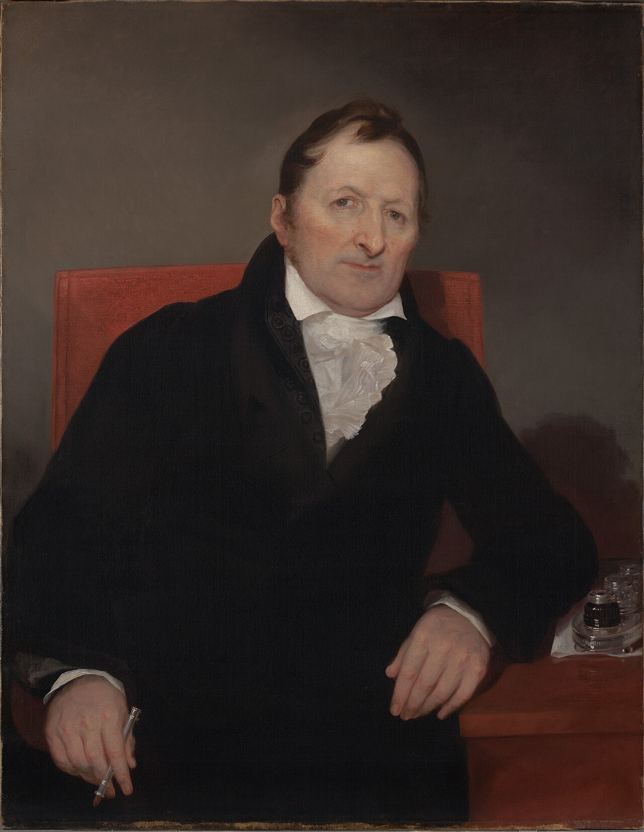
Eli Whitney (1765-1825) B.A. 1792, M.A. 1795
Samuel Finley Breese Morse · 1822
Ready when you are
Start chatting with Eli Whitney now.
20 messages free · No credit card · Available in 50+ languages.