


Tertiary sourceDocument19th century
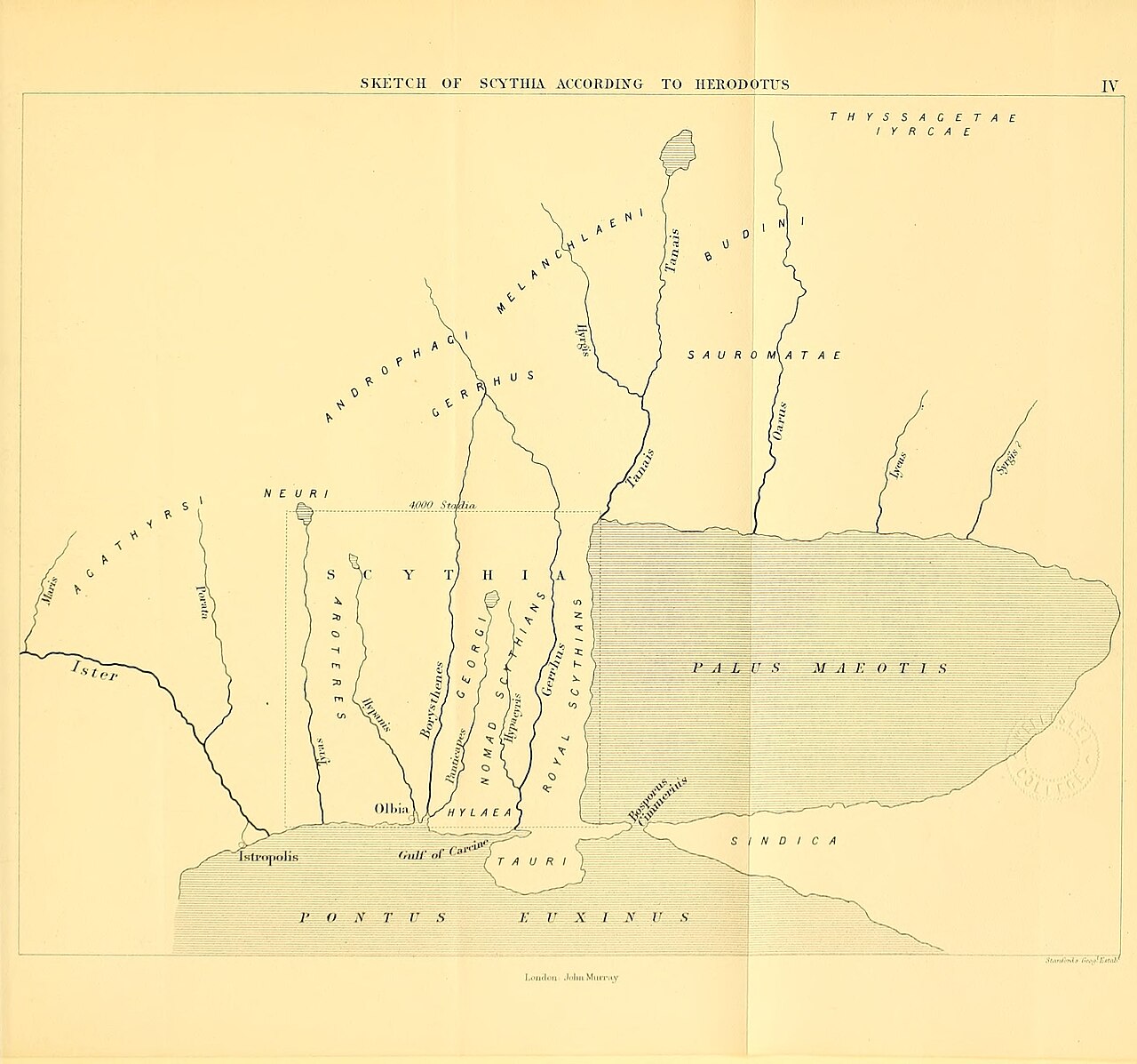
Sketch of Scythia According to Herodotus
Edward Bunbury · 19th century
A 19th-century map showing Scythia and its peoples as described by Herodotus in Book 4 of his Histories.
This map illustrates Herodotus's ethnographic account of Scythia found in Book 4 of his Histories.
About this source
What it is
This hand-drawn style map, made by Edward Bunbury for his book on ancient geography, shows Scythia as Herodotus described it, including rivers, regions, and peoples such as the Tauri and Royal Scythians.
Why it matters
In Book 4 of his Histories, Herodotus described the lands and customs of the Scythians in detail. This map translates his written descriptions into a visual guide, showing how later scholars have used his text to reconstruct ancient geography and ethnography.
Look closer
- Why might Herodotus have included so much detail about peoples like the Scythians, who lived far from Greece?
- What challenges would a mapmaker face turning ancient written descriptions into a map?
- What parts of the map seem based on direct knowledge, and what might be based on rumour or hearsay?
This document is part of the curated material that grounds the AI version of Herodotus on Humy.ai — when students ask about related events, the AI can quote it and cite it.
More Herodotus sources
Browse all 86 →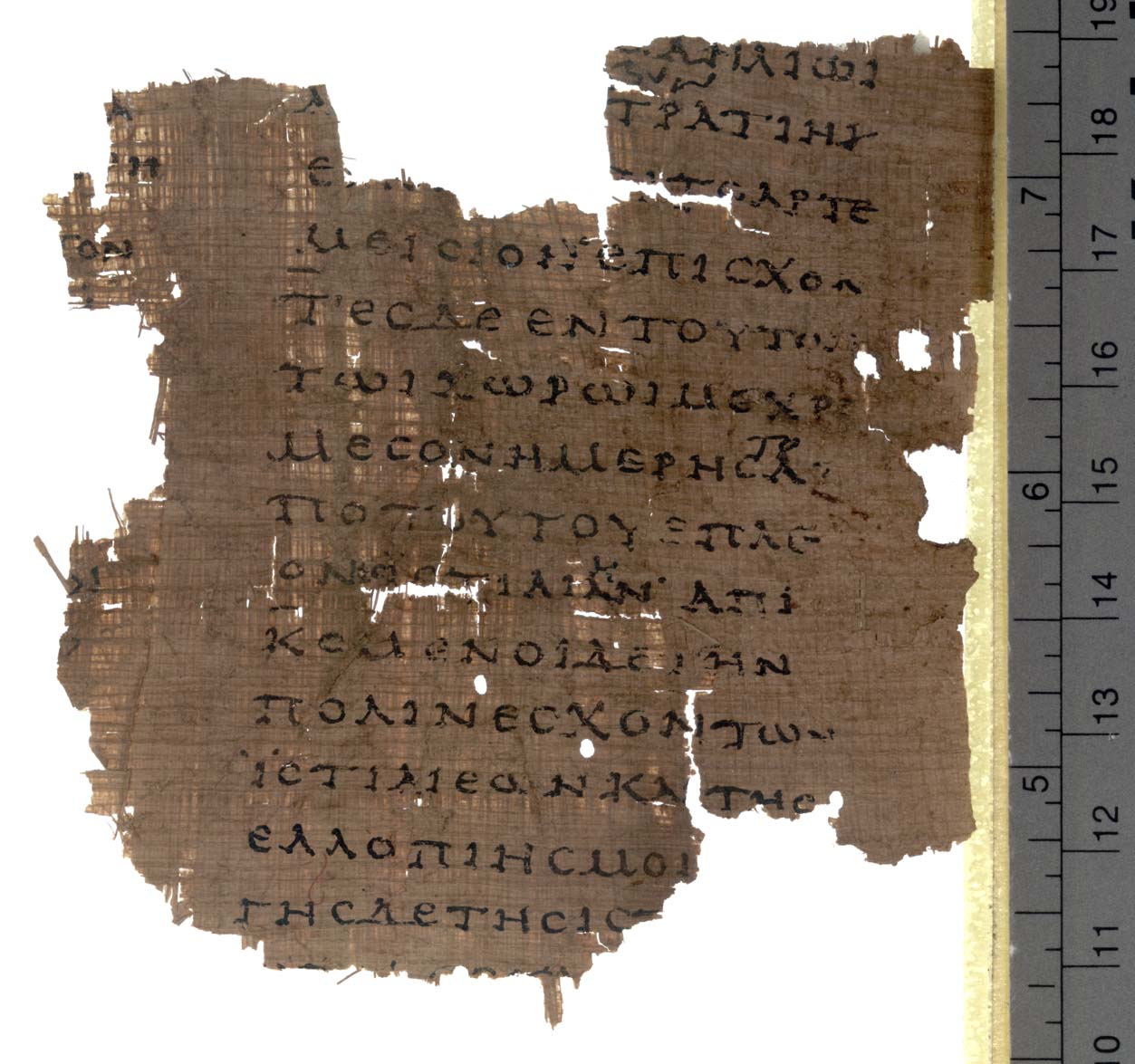 Book
Secondary source
Histories
Herodotus · c. 440 BCE
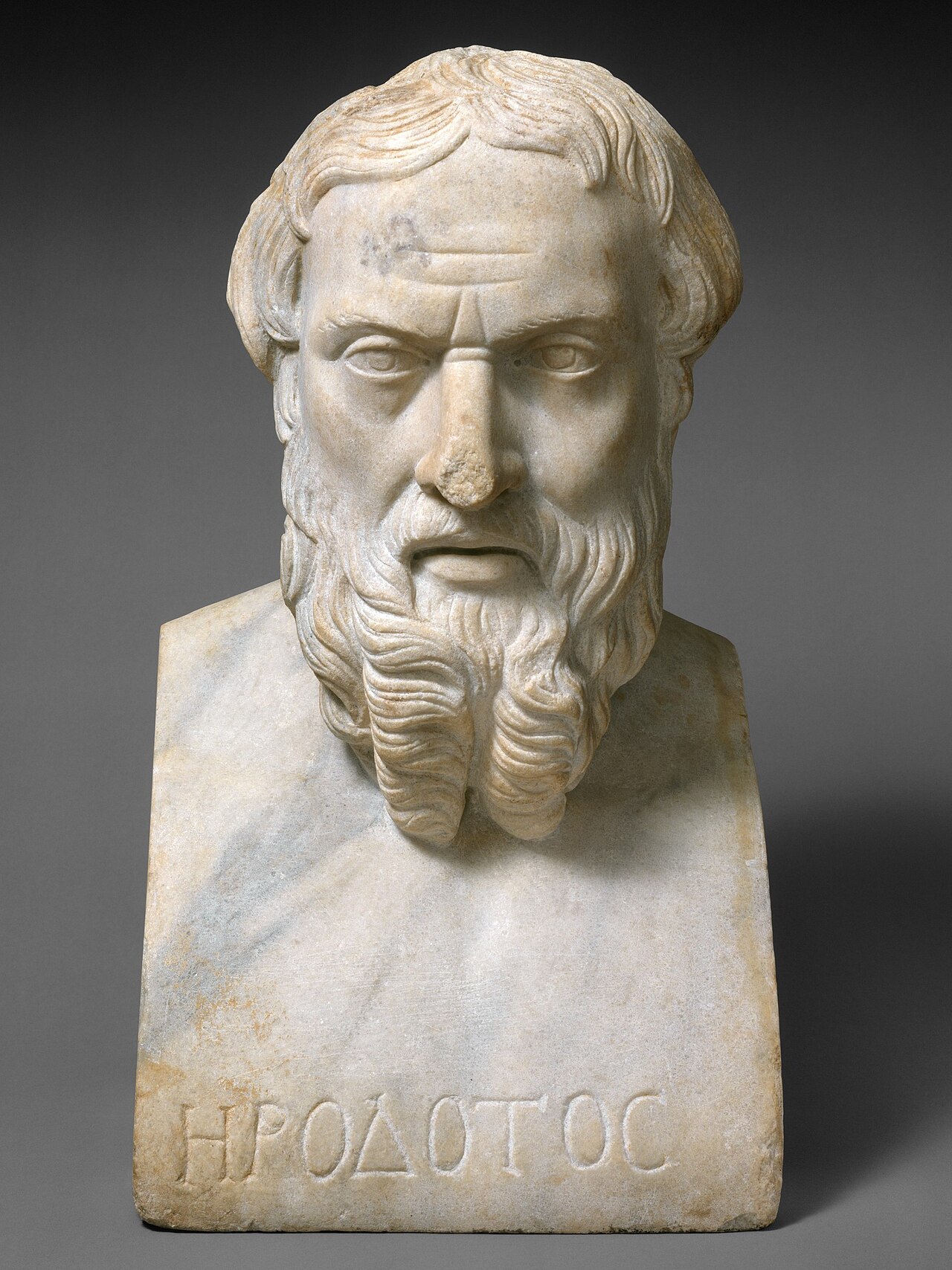 Sculpture
Secondary source
Portrait Bust of Herodotus
Unknown Roman sculptor
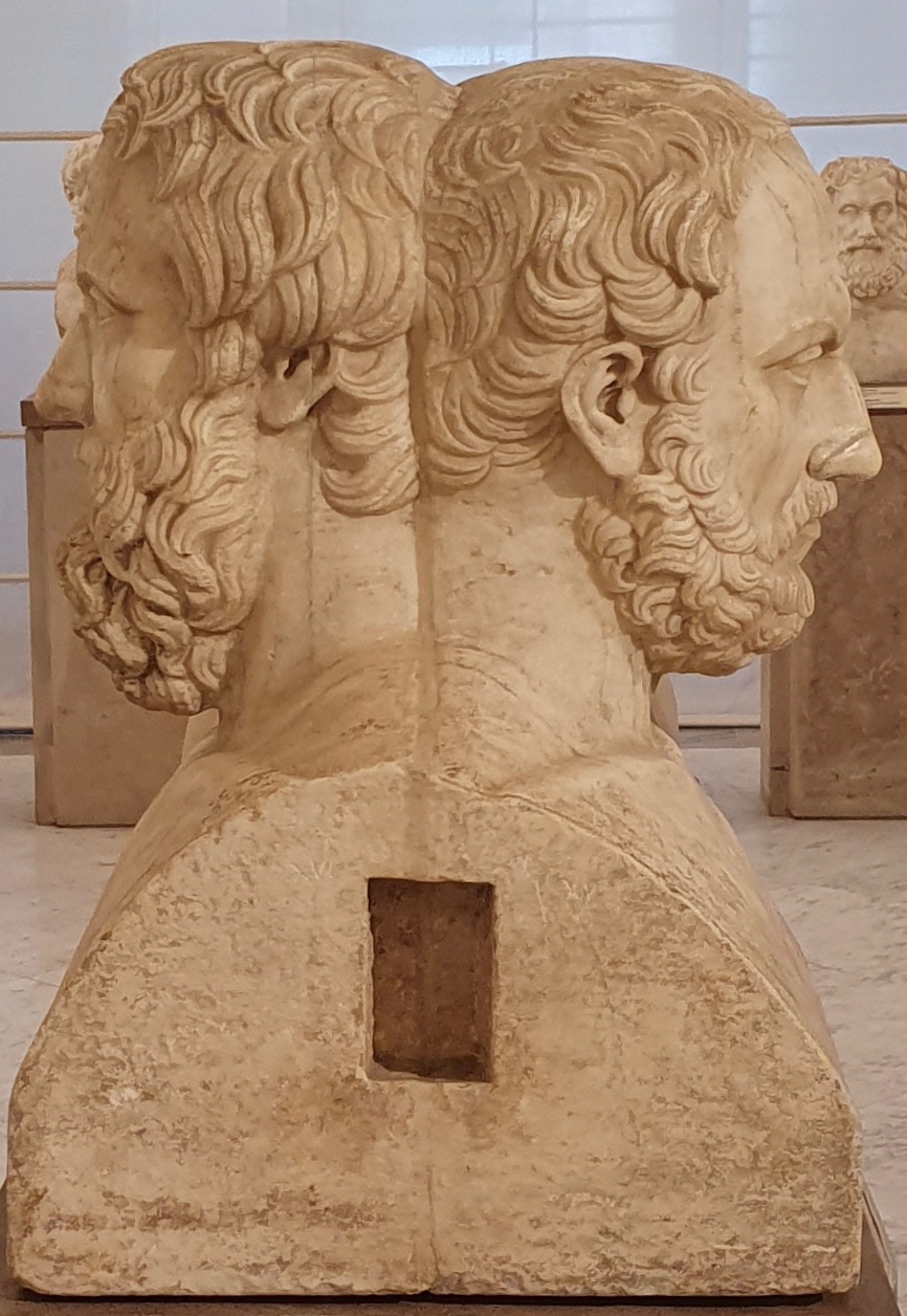 Sculpture
Secondary source
Double Herm of Herodotus and Thucydides
Unknown Roman sculptor after Greek originals · 2nd century AD
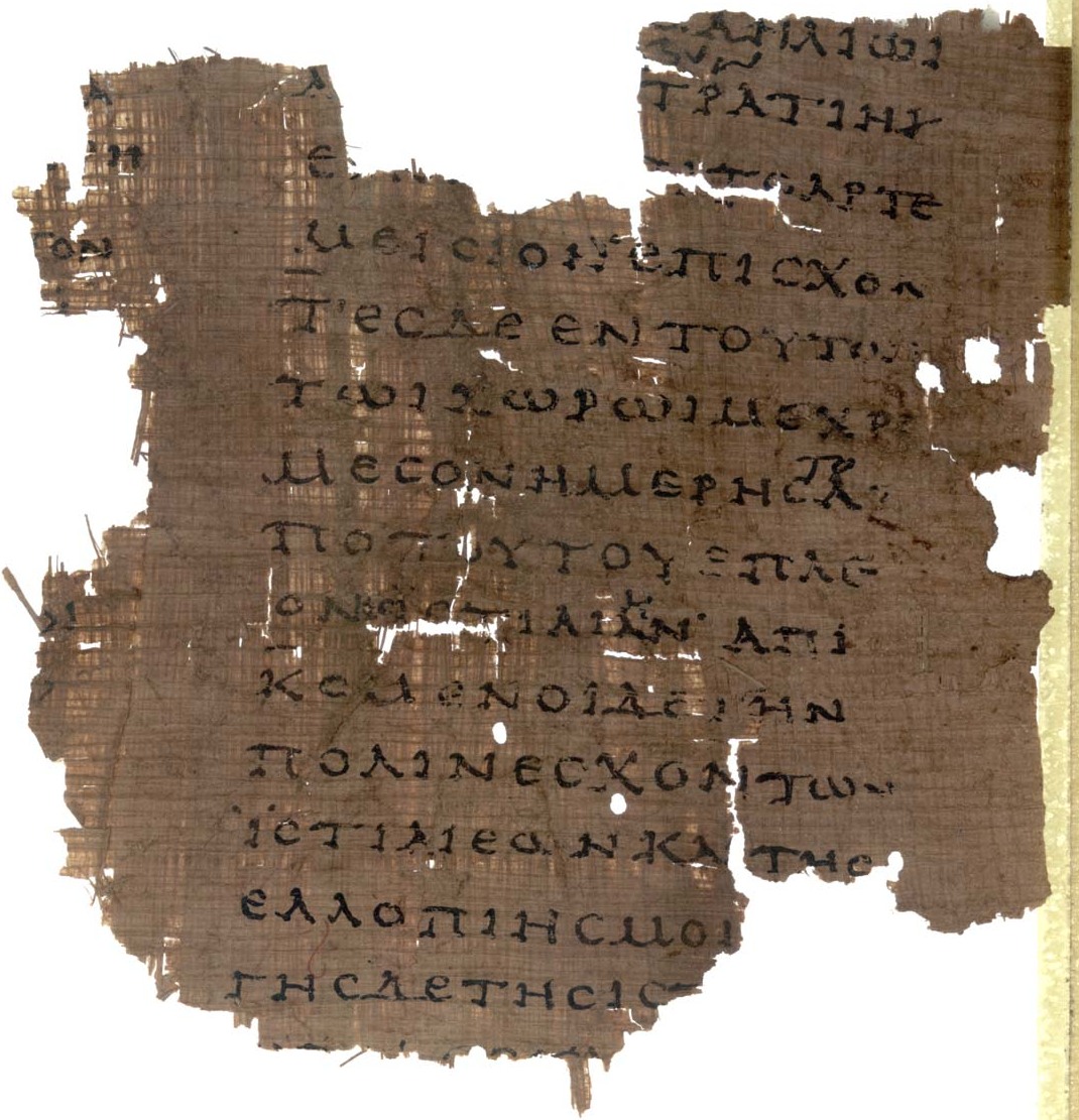 Document
Primary source
Papyrus Oxyrhynchus 2099
Unknown scribe · early 2nd century AD
Free account
Read every Herodotus source
Sign up free →
Ready when you are
Start chatting with Herodotus now.
20 messages free · No credit card · Available in 50+ languages.