


Secondary sourceDocument1841
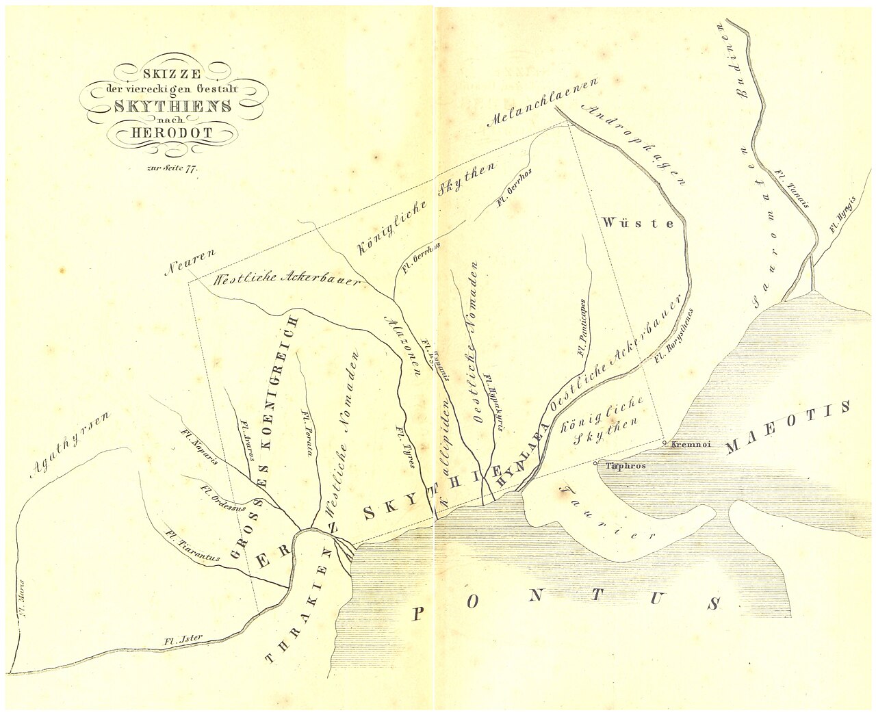
Sketch of Scythia after Herodotus
1841
An 1841 German map of Scythia, drawn as a dotted square after Herodotus's account. It shows how the region was reconstructed in the nineteenth century.
This map reconstructs the Scythia described by Herodotus, showing how a later reader interpreted his account.
About this source
What it is
This is an engraved map in a hand-drawn style, titled Skizze der viereckigen Gestalt Skythiens nach Herodot, which means a sketch of the square shape of Scythia after Herodotus. It was made in 1841. German labels name rivers, peoples and regions such as Thrakien, Pontus, Maeotis and Skythen. A dotted square outlines Scythia.
Why it matters
The map reconstructs Herodotus's account of Scythia, a region he describes in his histories. It is a nineteenth-century interpretation rather than an ancient document. It shows how German readers of the period pictured the ancient north of the Black Sea.
Look closer
- Why does the map show Scythia as a square, and where did that shape come from?
- Which names on the map are in German, and what does that suggest about who the map was for?
- What might the map leave out about the Scythian peoples themselves?
This document is part of the curated material that grounds the AI version of Herodotus on Humy.ai — when students ask about related events, the AI can quote it and cite it.
More Herodotus sources
Browse all 86 →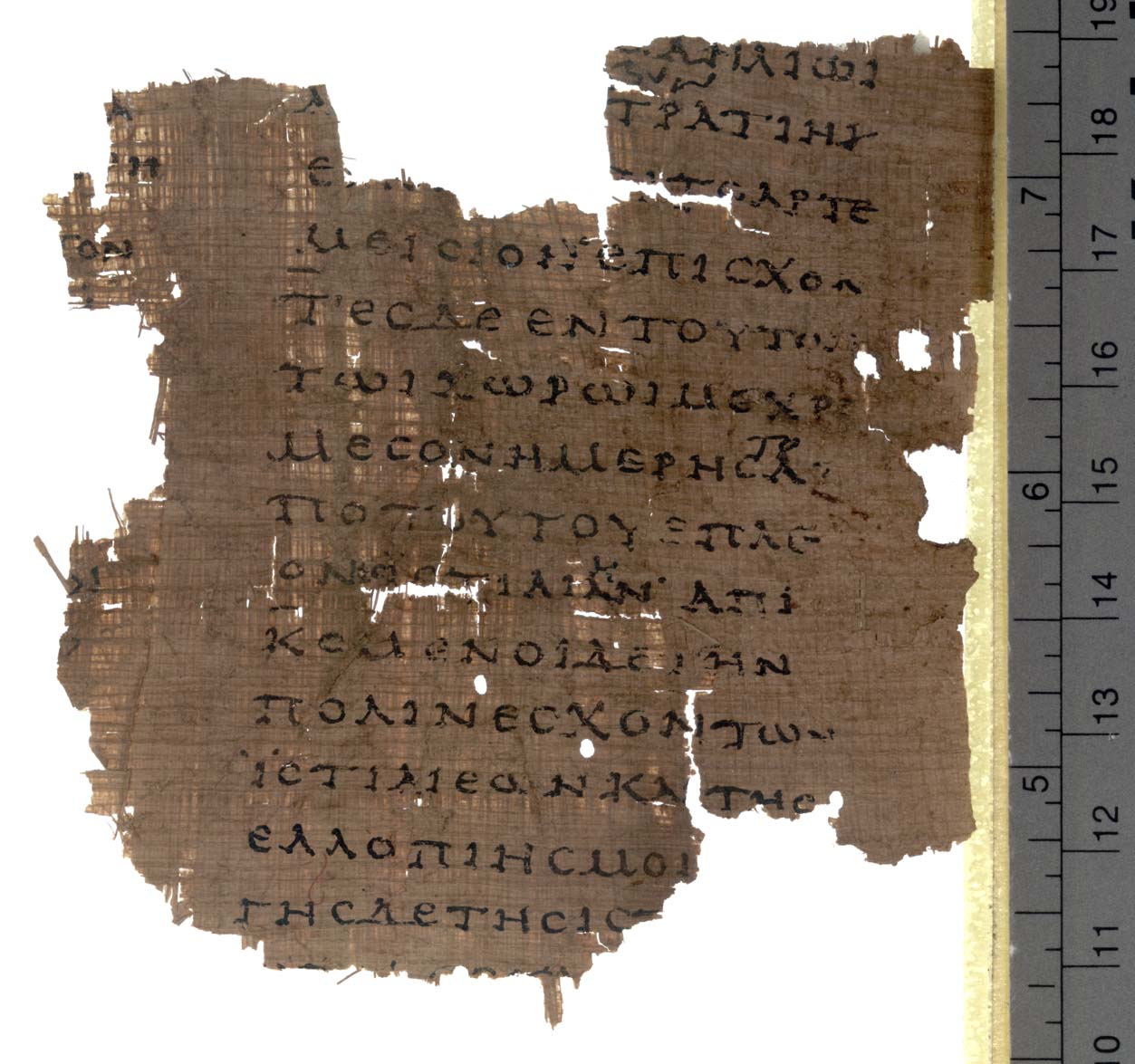 Book
Secondary source
Histories
Herodotus · c. 440 BCE
 Sculpture
Secondary source
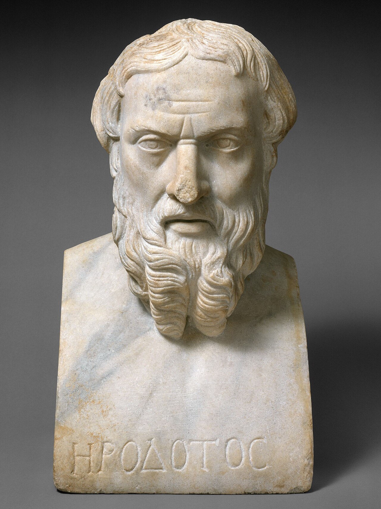
Portrait Bust of Herodotus
Unknown Roman sculptor
 Sculpture
Secondary source
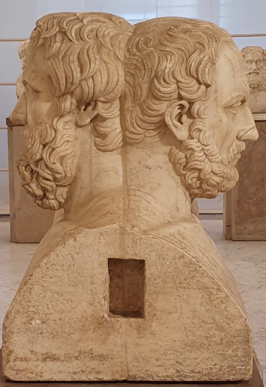
Double Herm of Herodotus and Thucydides
Unknown Roman sculptor after Greek originals · 2nd century AD
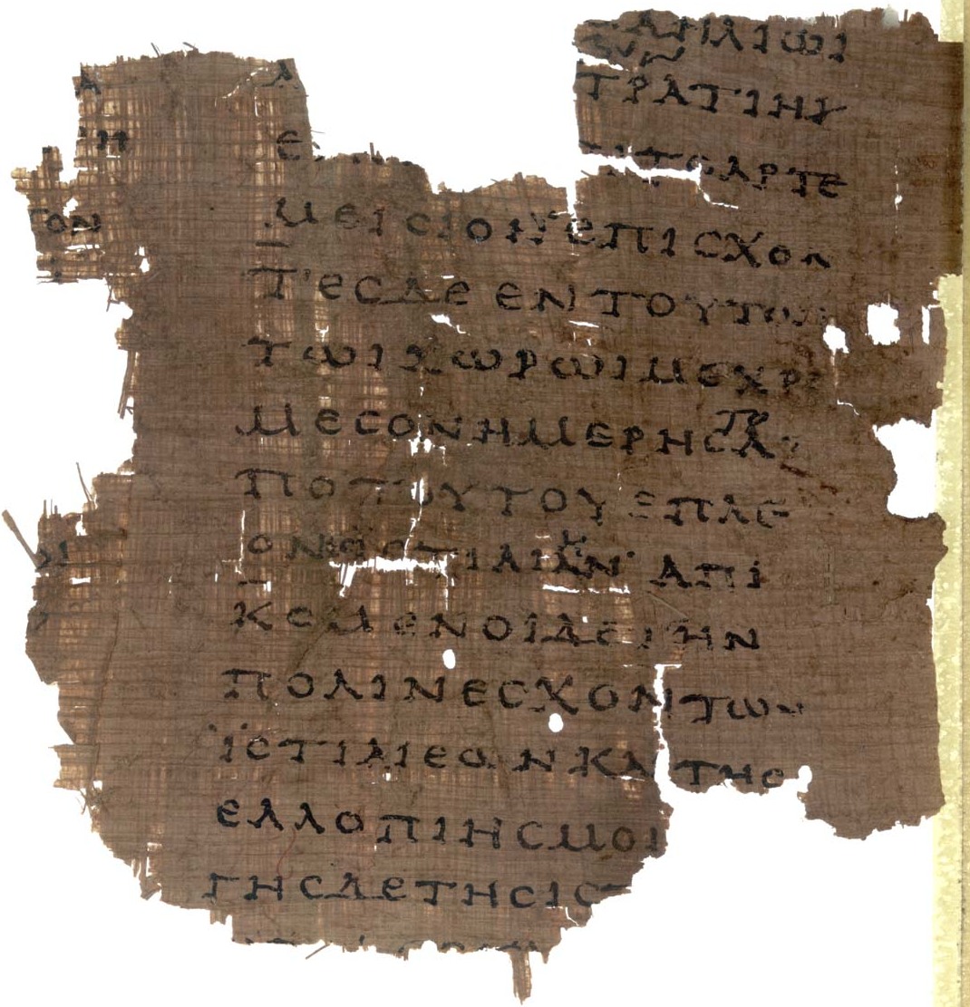 Document
Primary source
Papyrus Oxyrhynchus 2099
Unknown scribe · early 2nd century AD
Free account
Read every Herodotus source
Sign up free →
Ready when you are
Start chatting with Herodotus now.
20 messages free · No credit card · Available in 50+ languages.