


Primary sourceDocument1883
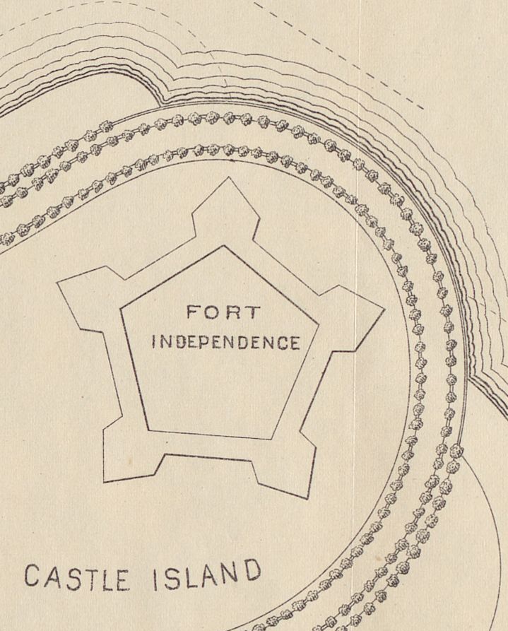
Study for a Plan of Pleasure Bay, Detail of Fort Independence
Frederick Law Olmsted · 1883
A detail from Olmsted's 1883 working study for the Pleasure Bay section of Marine Park in Boston.
A personal working study by Olmsted showing his design process for the Boston park system.
About this source
What it is
This is a cropped detail from an 1883 study by Frederick Law Olmsted for a plan of Pleasure Bay, part of the Boston park system. The detail shows the star-shaped Fort Independence and nearby Castle Island, surrounded by contour lines and rows of trees or shrubs.
Why it matters
This working study shows Olmsted's design process as he adapted an existing landscape, including a historic fort, into a public park along the waterfront. It gives insight into how he studied a site's existing features before deciding how to shape it.
Look closer
- Why might Olmsted have included the fort and island in his study rather than erasing them?
- What do the contour-like lines tell you about the land here?
- What questions would you want to ask about how this study became a finished park?
This document is part of the curated material that grounds the AI version of Frederick Law Olmsted on Humy.ai — when students ask about related events, the AI can quote it and cite it.
More Frederick Law Olmsted sources
Meet the AI Frederick Law Olmsted →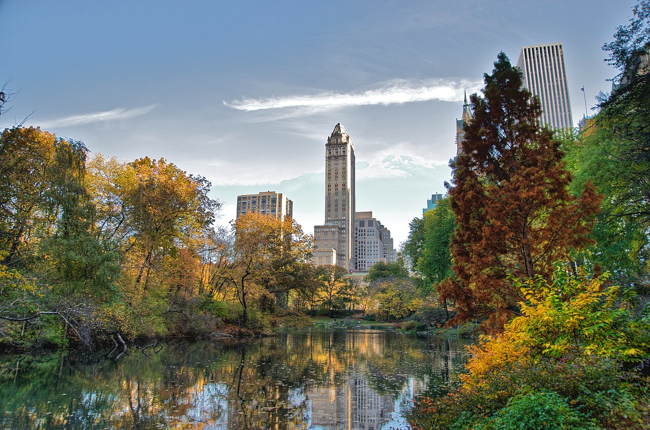 Artifact
Primary source
Central Park
Frederick Law Olmsted and Calvert Vaux · 1856
 Book
Primary source
Journeys and Explorations in the Cotton Kingdom
Frederick Law Olmsted · 1861
 Painting
Primary source
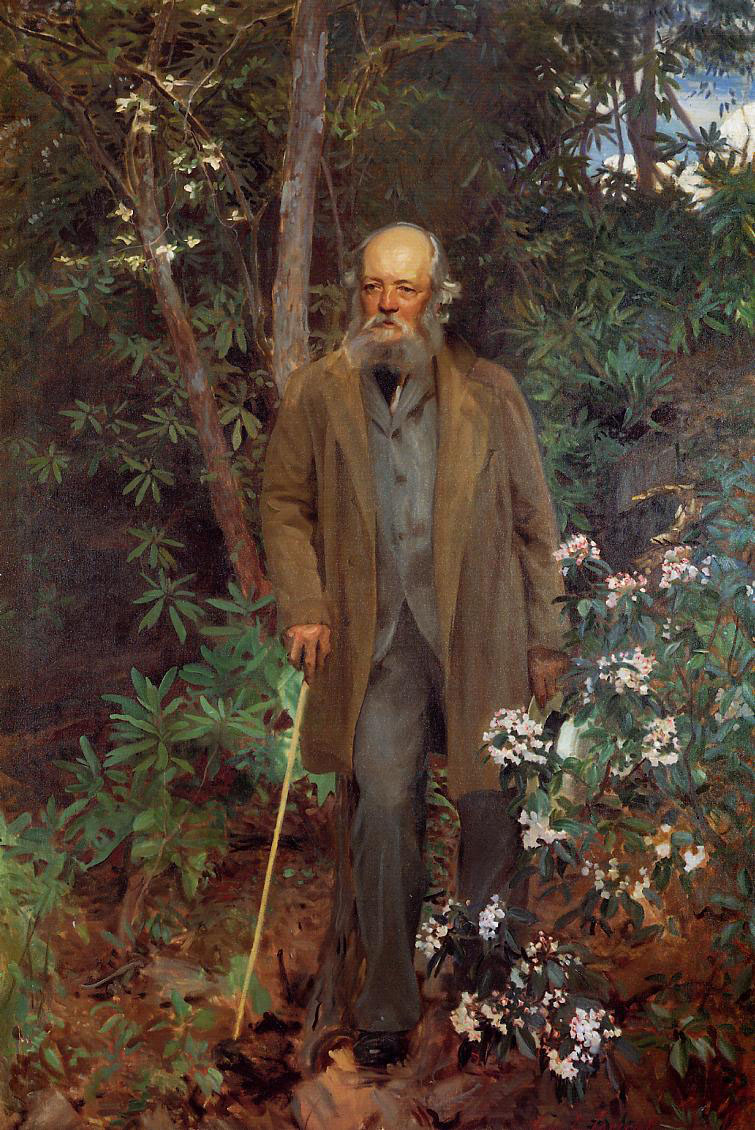
Frederick Law Olmsted
John Singer Sargent · 1895
 Artifact
Primary source
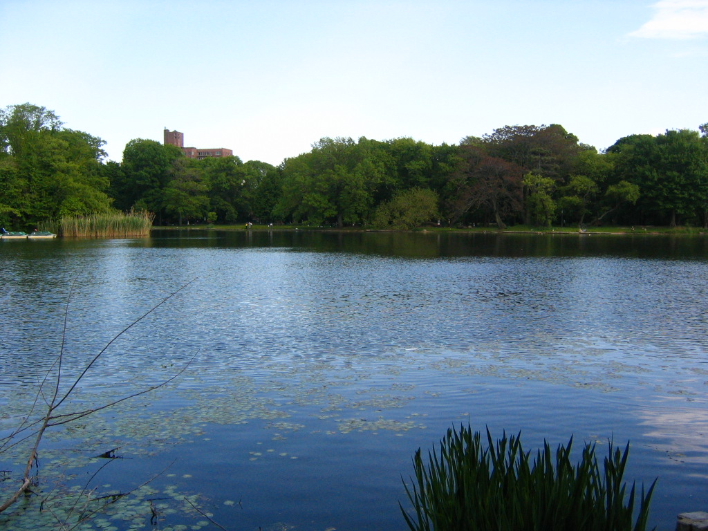
Prospect Park
Frederick Law Olmsted and Calvert Vaux · 1867
 Artifact
Primary source
Biltmore Estate
1895
Ready when you are
Start chatting with Frederick Law Olmsted now.
20 messages free · No credit card · Available in 50+ languages.