


Tertiary sourceArtifact19th century
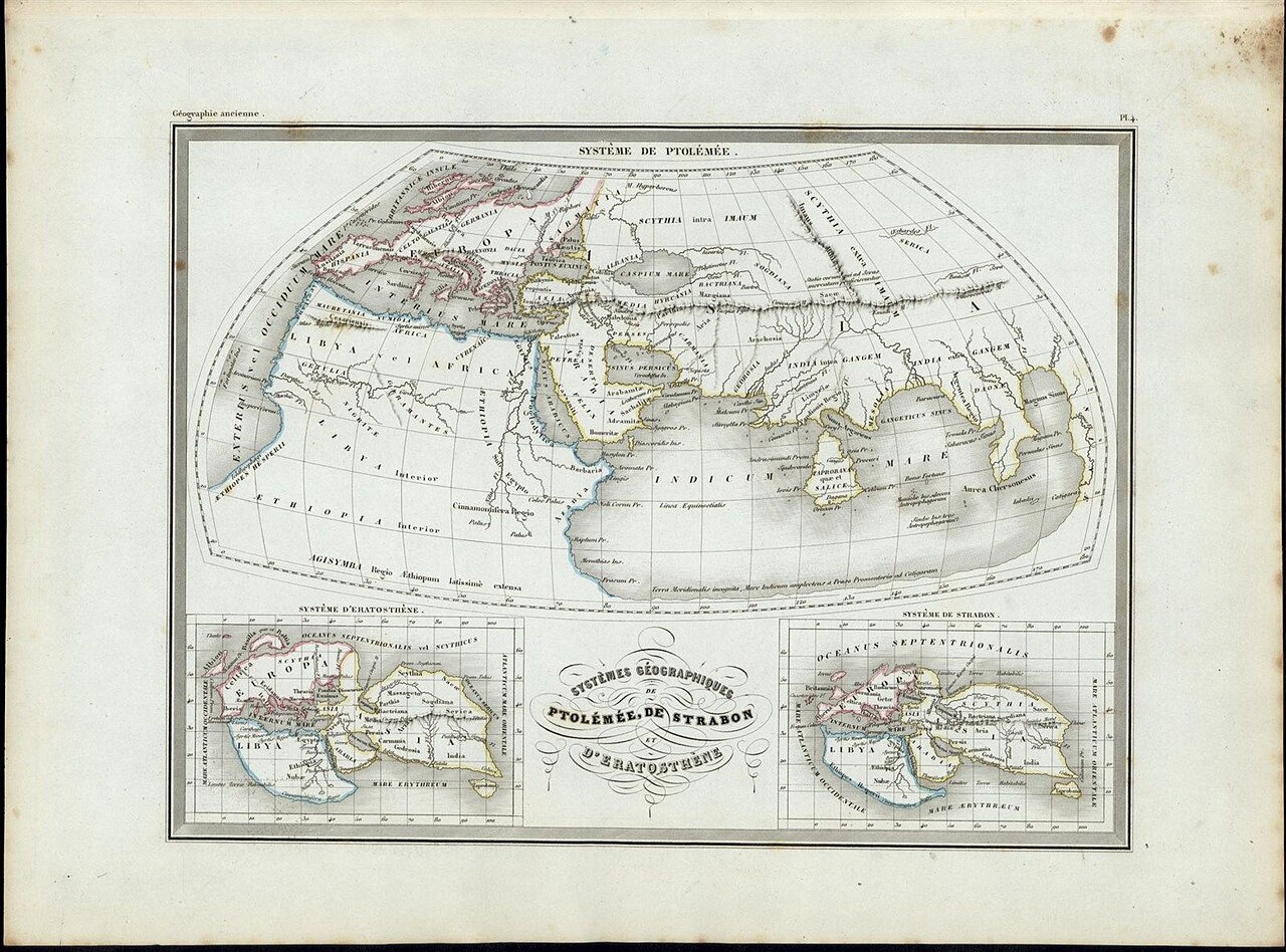
Systemes Geographique de Ptolemee, de Strabon, et d'Eratosthene
Thierry (engraver), after Malte-Brun · 19th century
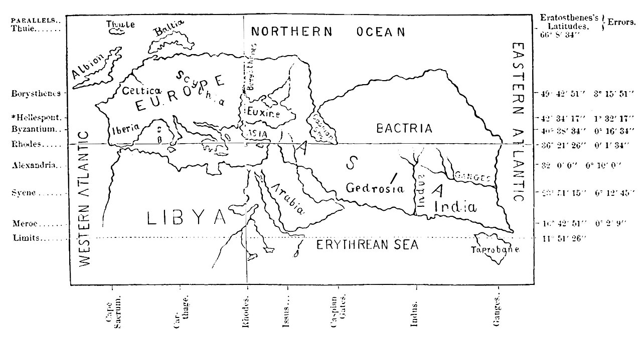
An 19th-century engraved map comparing the world as pictured by three ancient Greek geographers, including Eratosthenes.
A later reconstruction placing Eratosthenes' lost world map beside those of Strabo and Ptolemy for comparison.
About this source
What it is
This engraved plate presents three small maps side by side, showing how the ancient world was imagined according to the geographers Ptolemy, Strabo, and Eratosthenes. It was produced as Map 4 in an atlas accompanying Conrad Malte-Brun's geography text, published in Paris and engraved by Thierry.
Why it matters
Eratosthenes was one of the founders of scientific geography, and this later print shows how modern scholars tried to reconstruct and compare his lost world map with those of Strabo and Ptolemy, who came after him. It reveals how much interest there still was, many centuries later, in recovering ancient geographic knowledge.
Look closer
- Why do you think later mapmakers wanted to compare these three ancient systems side by side?
- What might be lost or changed when a lost ancient map is reconstructed by later scholars?
- What does the decorative style of the map (sea monsters, lettering) tell you about when it was made?
This artifact is part of the curated material that grounds the AI version of Eratosthenes on Humy.ai — when students ask about related events, the AI can quote it and cite it.
More Eratosthenes sources
Browse all 52 →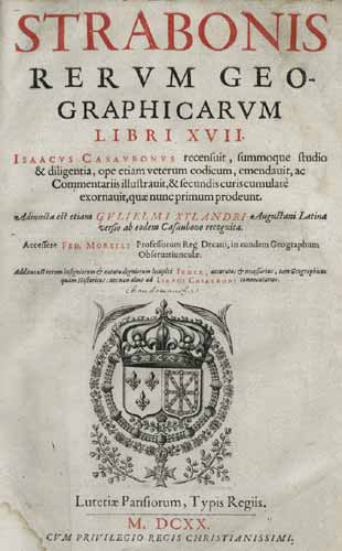 Book
Secondary source
Geography
Strabo · c. 20 AD
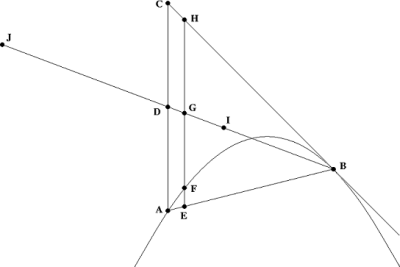 Letter
Primary source
The Method of Mechanical Theorems
Archimedes · c. 250 BCE
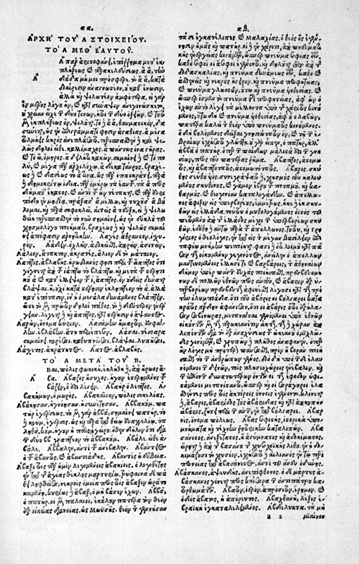 Document
Secondary source
Suda
various authors · c. 1000
Secondary source
Natural History, Book 2, on Eratosthenes' Earth Measurement
Pliny the Elder · c. 77 CE
Free account
Read every Eratosthenes source
Sign up free →
Ready when you are
Start chatting with Eratosthenes now.
20 messages free · No credit card · Available in 50+ languages.