


Secondary sourceDocumentc. 1200 (copy of earlier original)
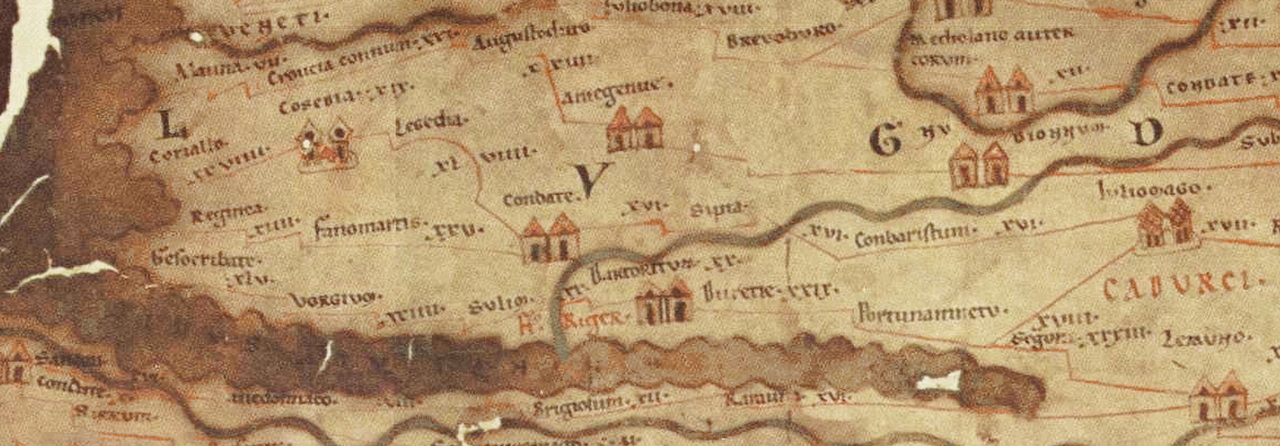
Tabula Peutingeriana
Castorius · c. 1200 (copy of earlier original)
A medieval copy of a Roman road map, descended from a cartographic tradition that Agrippa's own survey and world map helped establish.
This map tradition is linked to the survey and world map that Agrippa himself commissioned for Augustus.
Free Humy account · No credit card · 120,912 sources to read
About this source
What it is
The Tabula Peutingeriana is an illustrated Roman road map showing the empire's road network, surviving as a parchment copy made around 1200 from a much older original. It covers Europe, North Africa and parts of Asia, and is now kept at the Austrian National Library in Vienna.
Why it matters
Some historians believe the map descends from a world map originally prepared under the direction of Marcus Agrippa, Augustus's general and confidant, which was engraved in stone and displayed in Rome. If so, this map is a distant echo of Agrippa's own project to survey and map the Roman world, showing his role in organising knowledge of the empire, not just fighting its wars.
Look closer
- How reliable is it to connect a medieval copy to a map supposedly made centuries earlier by Agrippa?
- What does the map's schematic style tell us about its purpose for travellers rather than geographers?
- What parts of the world are missing or distorted, and why might that be?
This document is part of the curated material that grounds the AI version of Marcus Vipsanius Agrippa and Prince Eugene of Savoy on Humy.ai — when students ask about related events, the AI can quote it and cite it.
More Marcus Vipsanius Agrippa sources
Browse all 97 → Document
Secondary source
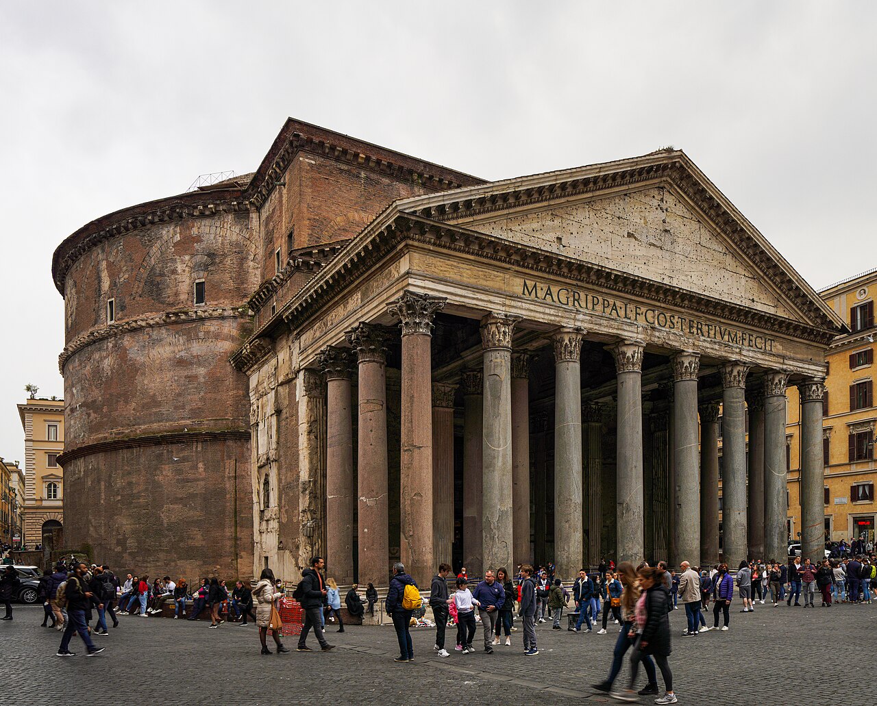
CIL VI, 896 (Pantheon Dedication Inscription)
126 (copying text of 27 BC)
 Sculpture
Primary source
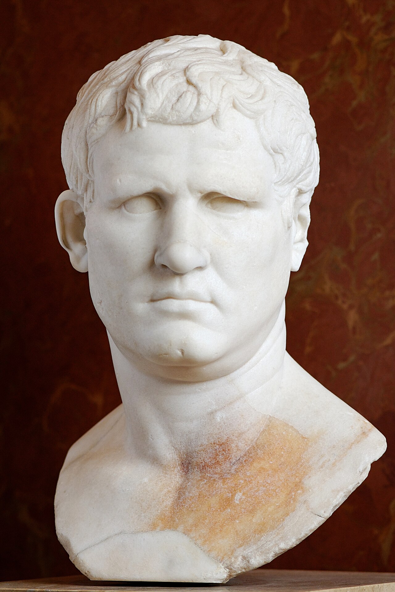
Portrait of Marcus Vipsanius Agrippa (Gabii type)
c. 25–24 BC
 Artifact
Primary source
Pantheon
Hadrian · c. AD 126-128
 Document
Primary source
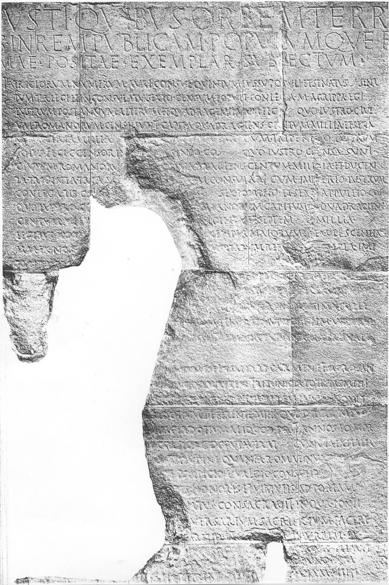
Res Gestae Divi Augusti
Augustus · 14 AD
Free account
Read every Marcus Vipsanius Agrippa source
Sign up free →
Ready when you are
Start chatting with Marcus Vipsanius Agrippa now.
20 messages free · No credit card · Available in 50+ languages.