


Primary sourceDocument1758
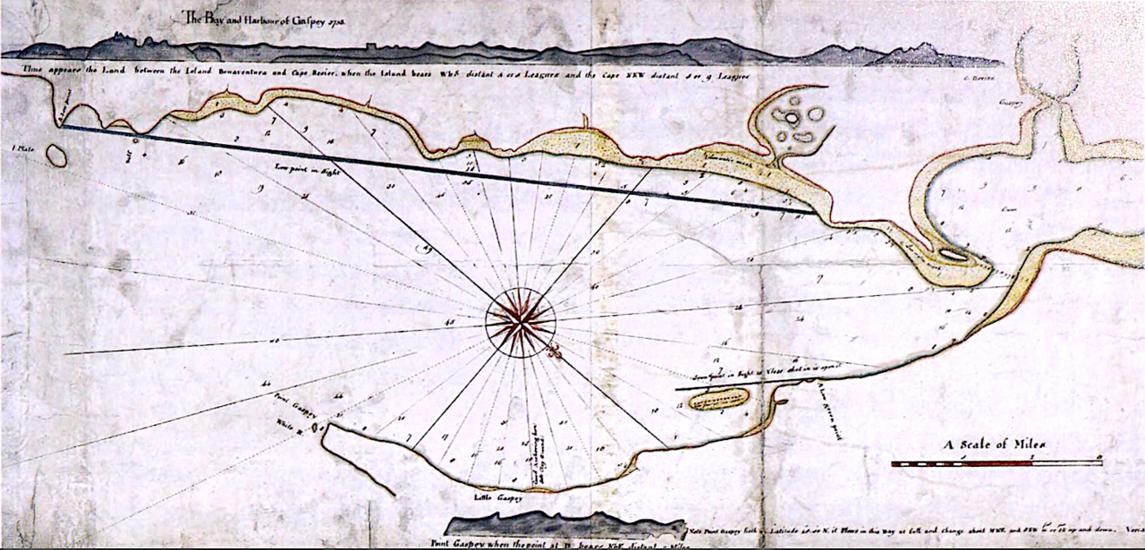
The Bay and Harbour of Gaspey
James Cook · 1758
Cook's first engraved chart, made in 1758 during the Seven Years' War, marking the beginning of his career as a surveyor.
Cook's first engraved chart, showing the beginning of his surveying career.
About this source
What it is
This is a hand-drawn nautical chart of the Bay and Harbour of Gaspey, made by James Cook in 1758. It shows the coastline with a compass rose, rhumb lines, soundings, and handwritten notes.
Why it matters
This was Cook's first engraved chart, produced during the Seven Years' War after he learned surveying methods from Samuel Holland. It marks the start of the surveying skills that would later make him one of the most accurate mapmakers of his era, long before his famous Pacific voyages.
Look closer
- What details on the chart show the skill needed to make an accurate 18th-century map?
- Why would accurate charts of a harbour matter during wartime?
- What might this early chart suggest about how Cook's later career developed?
This document is part of the curated material that grounds the AI version of James Cook on Humy.ai — when students ask about related events, the AI can quote it and cite it.
More James Cook sources
Meet the AI James Cook →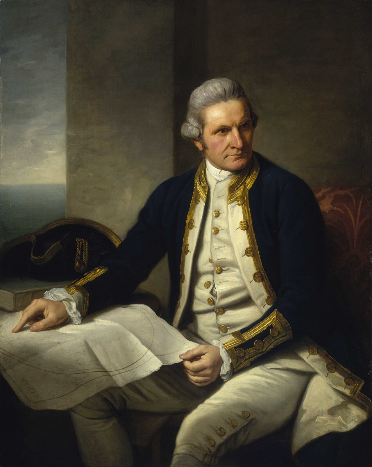 Painting
Primary source
Captain James Cook, 1728-79
Nathaniel Dance-Holland · c. 1775-1776
 Painting
Secondary source
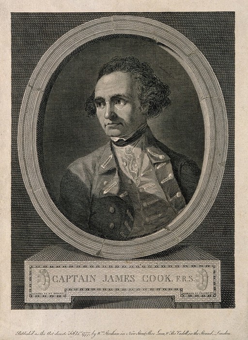
James Cook, line engraving by Basire after Hodges
William Hodges · 1777
 Document
Primary source
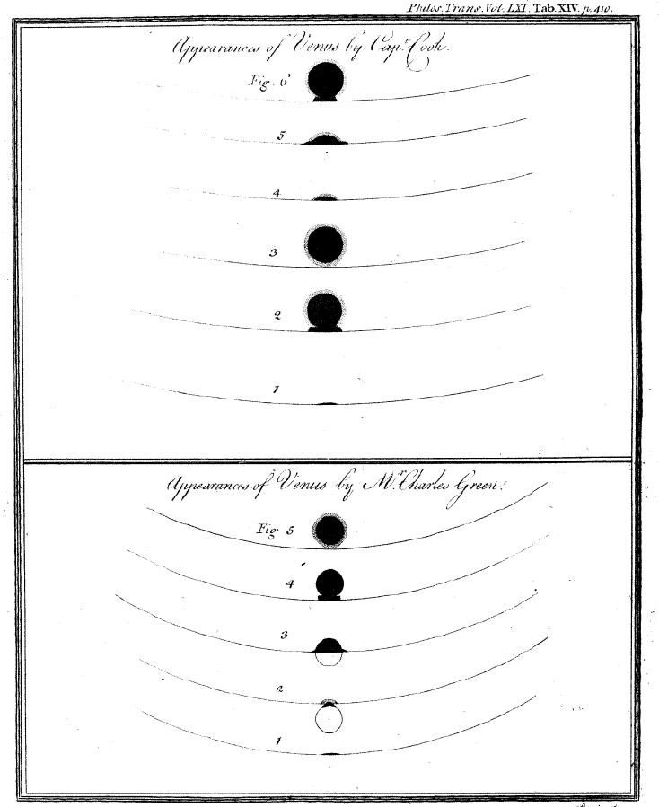
Sketchings of the 1769 Venus Transit
James Cook and Charles Green · 1769
 Painting
Primary source
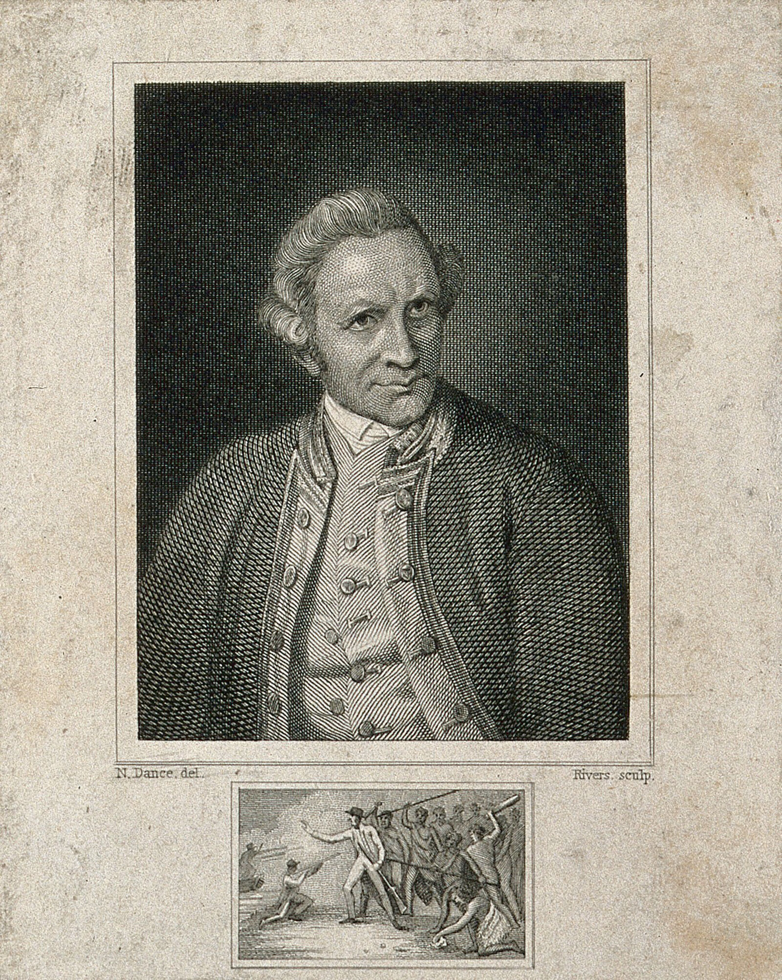
James Cook, engraving by Rivers after Dance-Holland
Nathaniel Dance-Holland · 1776
 Document
Primary source
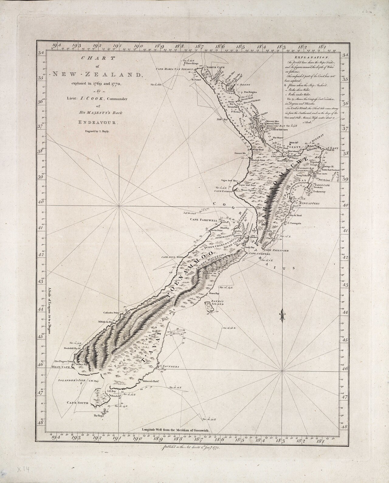
Chart of New Zealand, explored in 1769 and 1770
James Cook · 1770
Ready when you are
Start chatting with James Cook now.
20 messages free · No credit card · Available in 50+ languages.