


Primary sourceDocument1772
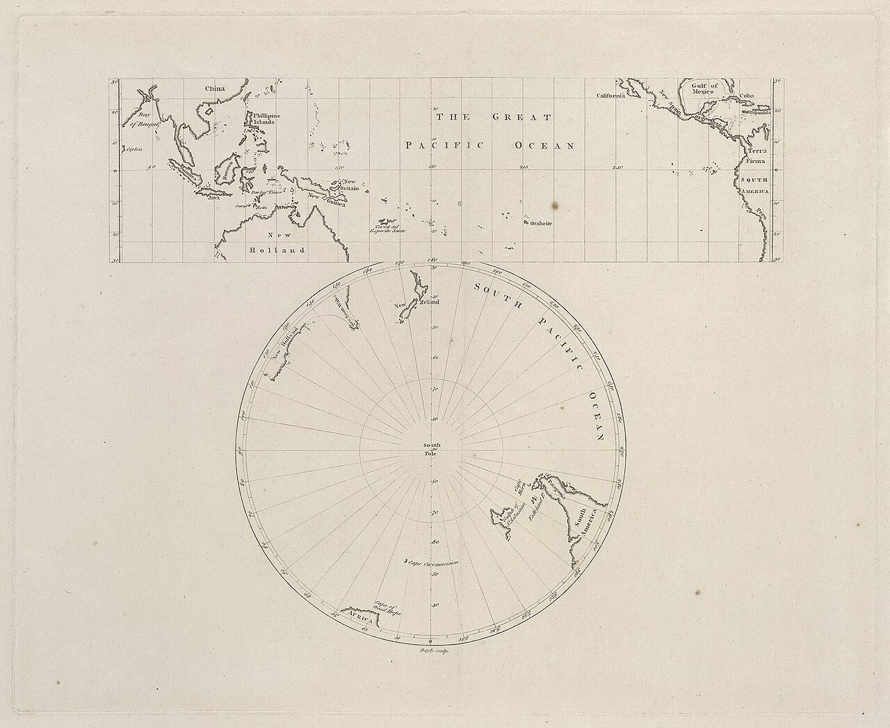
The Great Pacific Ocean Map
John Bayly · 1772
The first printed map to include Cook's discoveries made during the Endeavour voyage, published in 1772.
The first printed map to incorporate Cook's Endeavour discoveries, showing his immediate impact on geography.
About this source
What it is
This engraved map, published by John Bayly in London in 1772, shows the Pacific Ocean in two projections, including a view centred on the South Pole. It was printed in limited runs on different papers and a copy is held by the State Library of New South Wales.
Why it matters
This was the first printed map to include James Cook's discoveries from his Endeavour voyage. It shows how quickly new information from Cook's expedition reached European mapmakers and reshaped understanding of the Pacific region, including the coastlines of New Zealand and other areas he charted.
Look closer
- What differences can you spot between the shapes of landmasses on this map and modern maps?
- Why might the mapmaker have included a separate polar projection?
- What parts of the Pacific remain blank or uncertain, and what does that suggest about the limits of the information available?
This document is part of the curated material that grounds the AI version of James Cook on Humy.ai — when students ask about related events, the AI can quote it and cite it.
More James Cook sources
Meet the AI James Cook →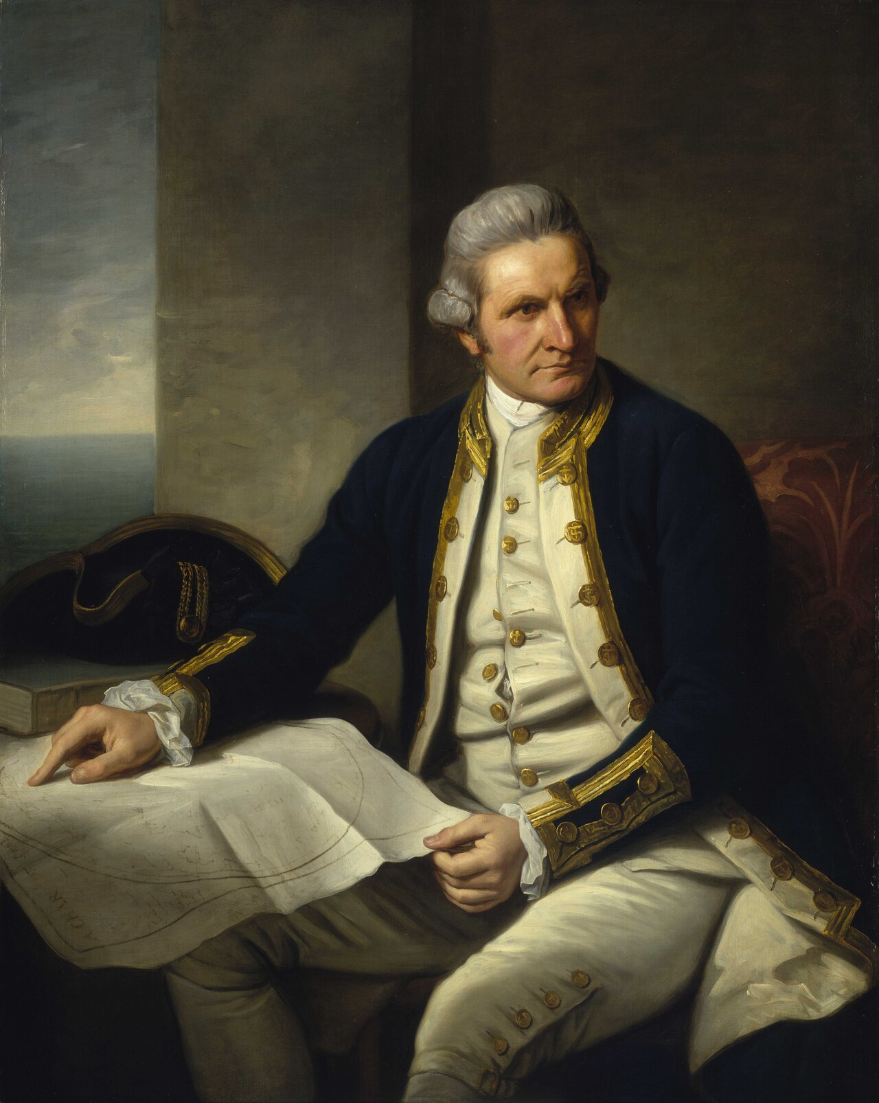 Painting
Primary source
Captain James Cook, 1728-79
Nathaniel Dance-Holland · c. 1775-1776
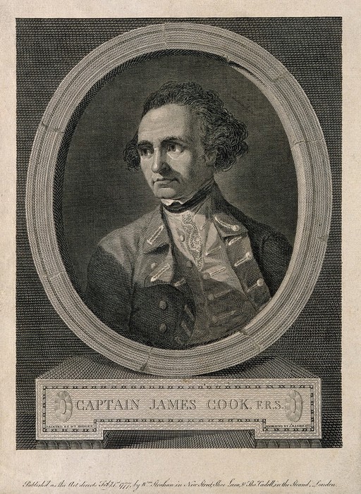 Painting
Secondary source
James Cook, line engraving by Basire after Hodges
William Hodges · 1777
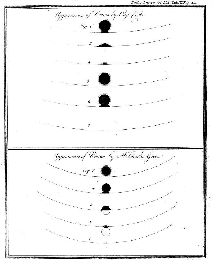 Document
Primary source
Sketchings of the 1769 Venus Transit
James Cook and Charles Green · 1769
 Painting
Primary source
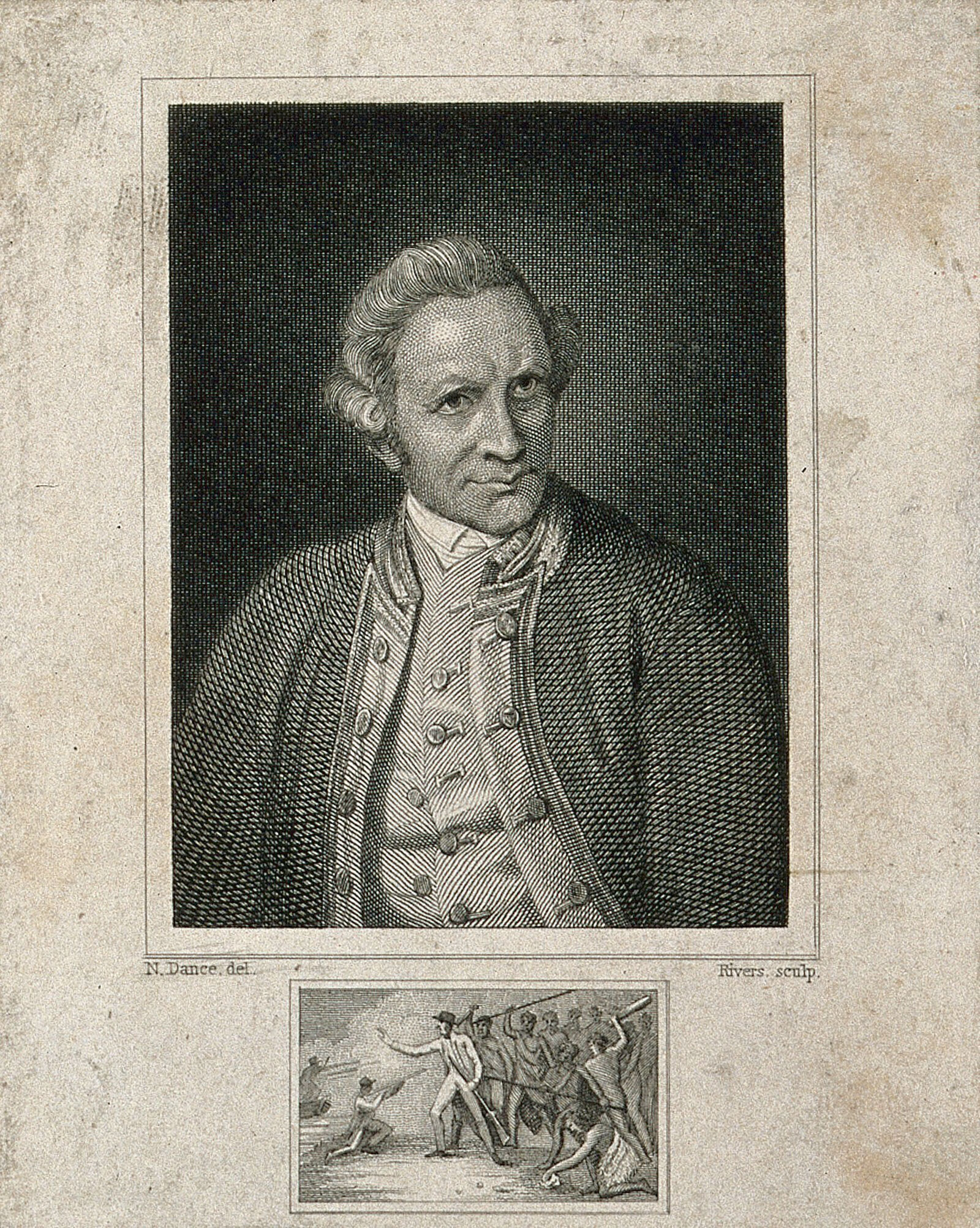
James Cook, engraving by Rivers after Dance-Holland
Nathaniel Dance-Holland · 1776
 Document
Primary source
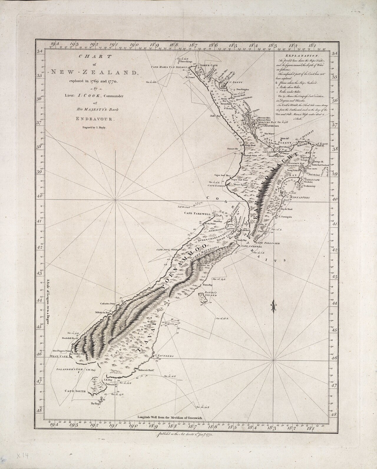
Chart of New Zealand, explored in 1769 and 1770
James Cook · 1770
Ready when you are
Start chatting with James Cook now.
20 messages free · No credit card · Available in 50+ languages.