


Secondary sourcePainting1877
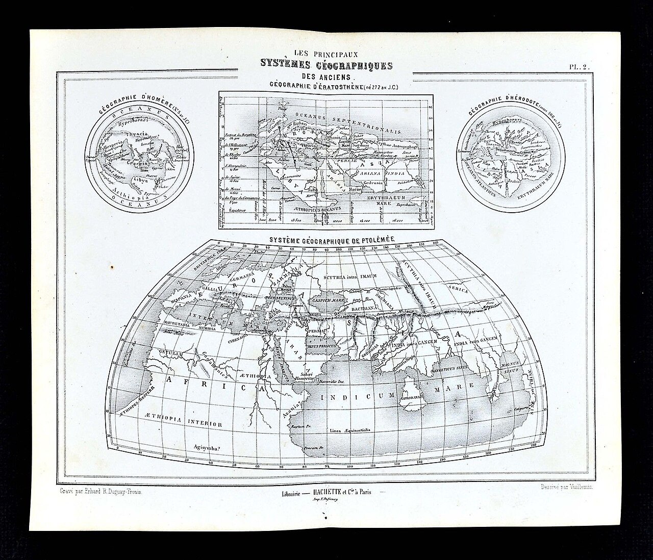
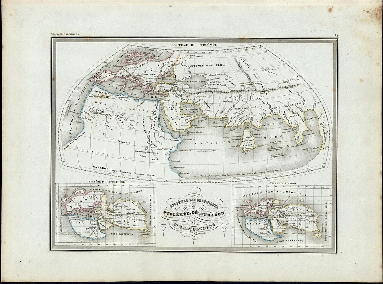
The Principal Geographical Systems of the Ancients
Vuillemin (drawn), Erhard R. Douguay-Trouin (engraved) · 1877
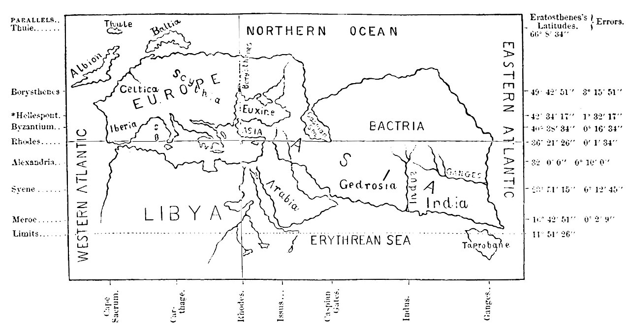
A 19th-century printed plate comparing the world maps attributed to Homer, Eratosthenes, Herodotus and Ptolemy.
Includes a reconstruction of Eratosthenes' world map alongside those of other ancient geographers for comparison.
About this source
What it is
This is a printed plate from 1877, drawn by Vuillemin and engraved by Erhard R. Douguay-Trouin, printed in Paris. It contains four inset maps showing the known world as imagined by Homer, Eratosthenes, Herodotus and Ptolemy.
Why it matters
By placing these four ancient geographical views side by side, the plate lets viewers compare how different Greek thinkers—including Eratosthenes—pictured the shape and extent of the world over several centuries. It highlights how Eratosthenes' more rectangular, measured map differed from the more legendary, circular maps of Homer and Herodotus.
Look closer
- How does Eratosthenes' map differ in shape from Homer's or Herodotus's maps?
- Why might later geographers like Ptolemy's maps look more detailed than earlier ones?
- What does comparing these maps tell us about how geographic knowledge changed over time?
This painting is part of the curated material that grounds the AI version of Eratosthenes on Humy.ai — when students ask about related events, the AI can quote it and cite it.
More Eratosthenes sources
Browse all 52 →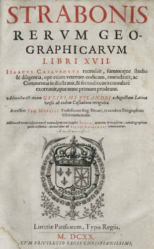 Book
Secondary source
Geography
Strabo · c. 20 AD
 Letter
Primary source
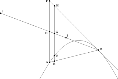
The Method of Mechanical Theorems
Archimedes · c. 250 BCE
 Document
Secondary source
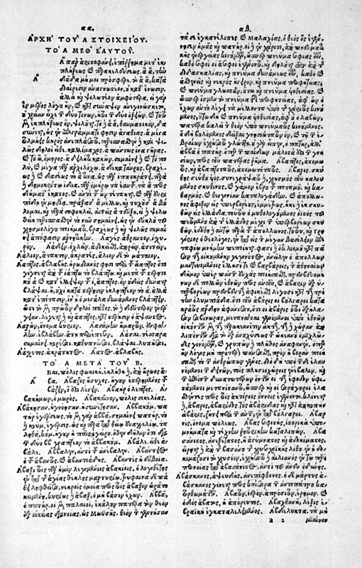
Suda
various authors · c. 1000
Secondary source
Natural History, Book 2, on Eratosthenes' Earth Measurement
Pliny the Elder · c. 77 CE
Free account
Read every Eratosthenes source
Sign up free →
Ready when you are
Start chatting with Eratosthenes now.
20 messages free · No credit card · Available in 50+ languages.