


Secondary sourceDocument2003
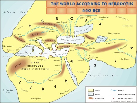
The world according to Herodotus, 440 BC
Dariusz Ciach · 2003
A 2003 modern stylized map by Dariusz Ciach that reconstructs how Herodotus pictured the world around 440 BC. It is a teaching reconstruction, not an ancient artifact.
This modern map reconstructs Herodotus's view of the world, so it helps students see the geography described in his histories.
About this source
What it is
This is a stylized modern map titled The world according to Herodotus, 440 BCE. Dariusz Ciach made it in 2003. It shows Europe, Asia and Libya, which is Africa, as landmasses surrounded by Ocean. It has labelled rivers, mountains, seas, cities and the Persian Royal Road, in yellow, brown and blue tones, with a legend.
Why it matters
The map reconstructs the geographical view of the world that Herodotus described. Because it is a modern reconstruction, it shows how a present-day mapmaker turned the ideas in Herodotus's writings into a picture. It is useful for teaching his geography, but it is not a map that Herodotus or his contemporaries drew.
Look closer
- Which places on the map did Herodotus describe in his writings, and which were added by the modern mapmaker?
- How does the map's use of colour and style affect how the ancient world looks?
- What might a reconstruction like this leave out or simplify?
This document is part of the curated material that grounds the AI version of Herodotus on Humy.ai — when students ask about related events, the AI can quote it and cite it.
More Herodotus sources
Browse all 86 →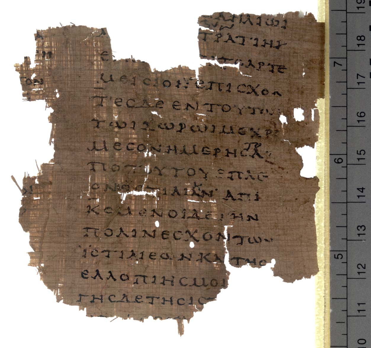 Book
Secondary source
Histories
Herodotus · c. 440 BCE
 Sculpture
Secondary source
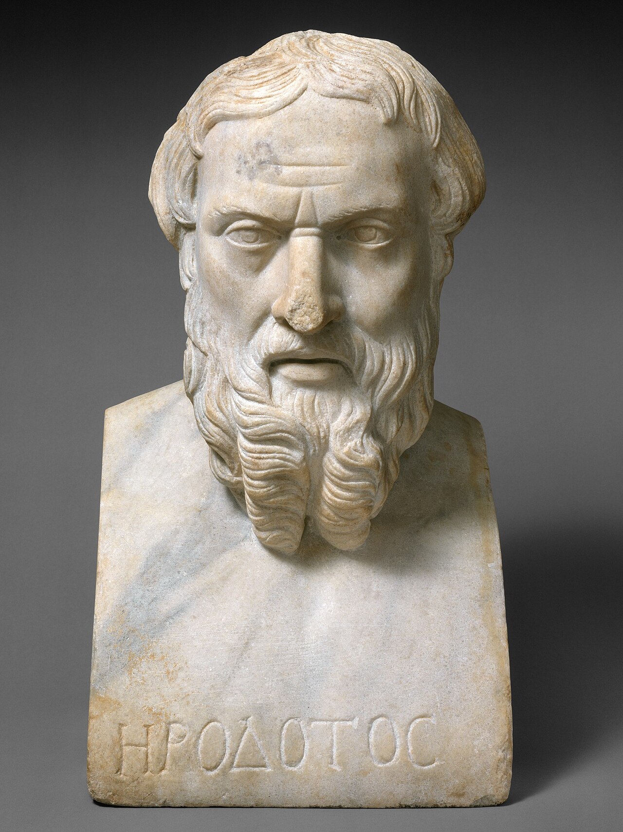
Portrait Bust of Herodotus
Unknown Roman sculptor
 Sculpture
Secondary source
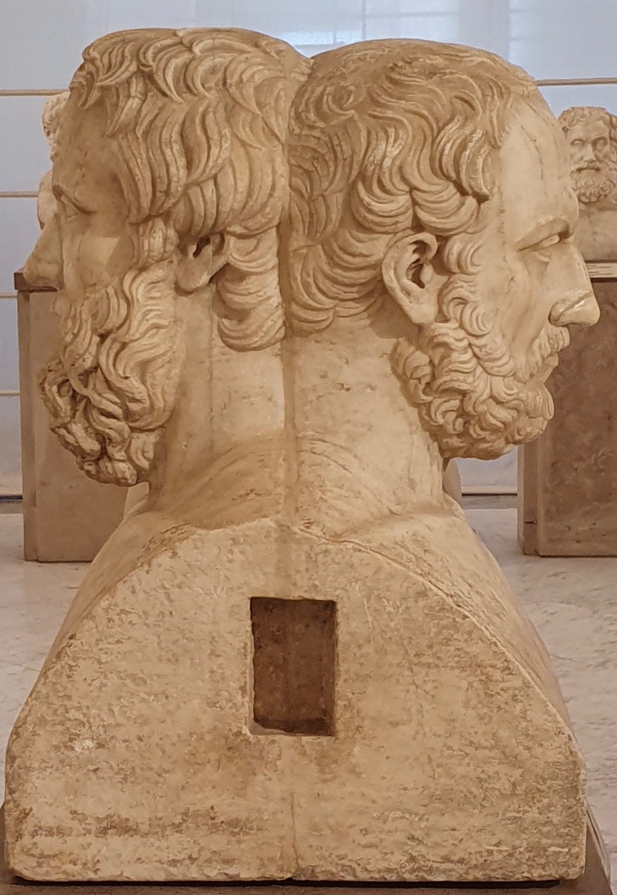
Double Herm of Herodotus and Thucydides
Unknown Roman sculptor after Greek originals · 2nd century AD
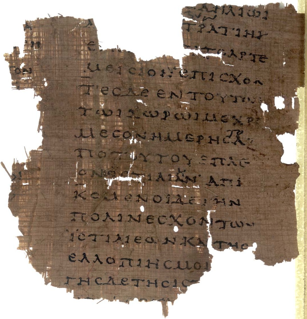 Document
Primary source
Papyrus Oxyrhynchus 2099
Unknown scribe · early 2nd century AD
Free account
Read every Herodotus source
Sign up free →
Ready when you are
Start chatting with Herodotus now.
20 messages free · No credit card · Available in 50+ languages.