


Secondary sourceSculpturephotographed 2011
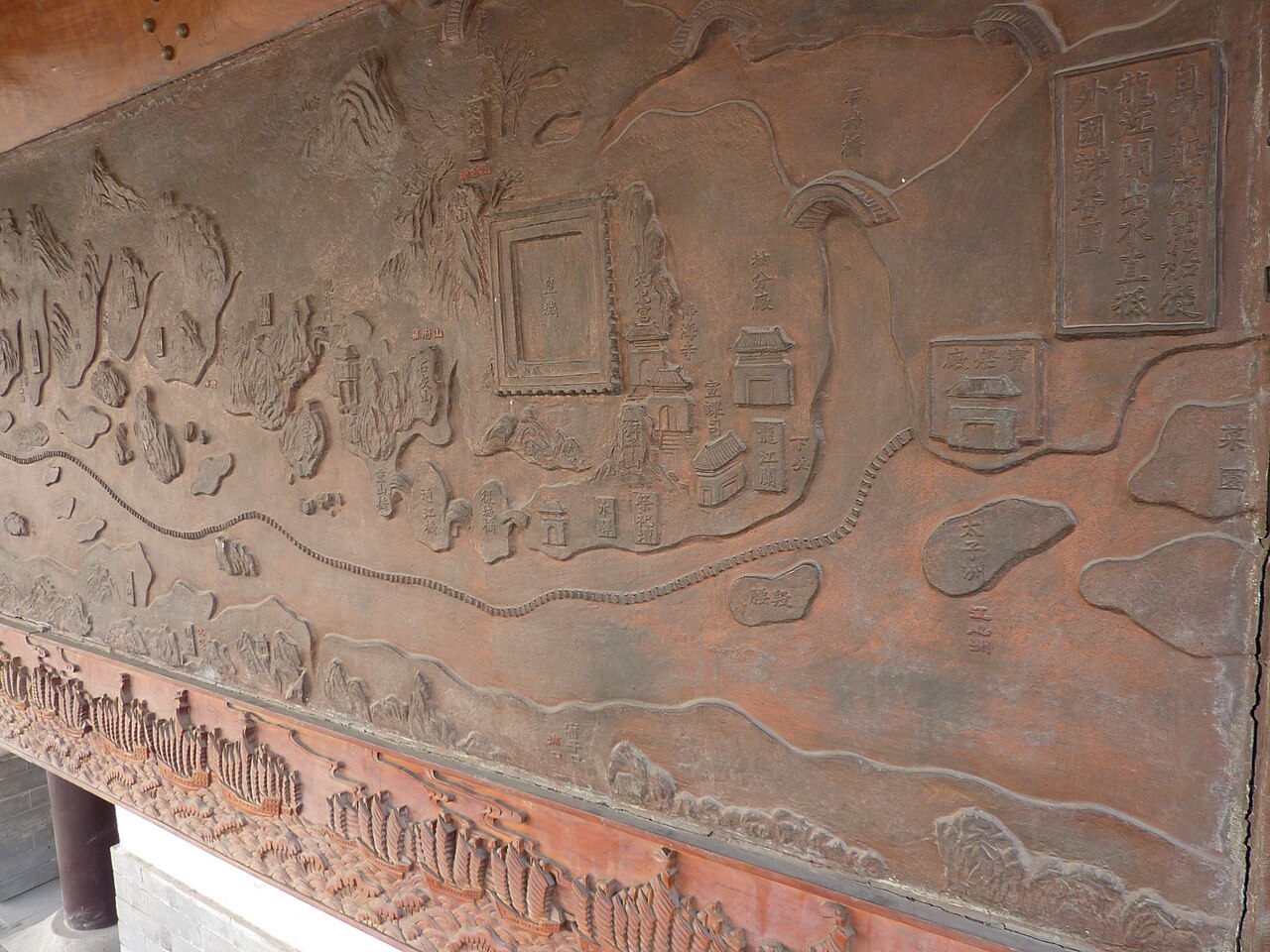
Treasure Boat Shipyard Map Relief
Vmenkov · photographed 2011
A relief map at a Nanjing memorial park tracing the route of Zheng He's voyages across Asia.
This relief map traces the routes of Zheng He's voyages as part of a memorial at the shipyard believed linked to his fleet.
About this source
What it is
This is a photograph of a long carved relief panel on the northern wall of the Treasure Boat Shipyard Park in Nanjing, taken in 2011. The relief shows a winding route line, mountains, buildings, and a boat-decorated border, along with an inscription panel.
Why it matters
This map relief is part of a memorial illustrating the geography of Zheng He's voyages. It helps visitors visualize the vast distances his fleets traveled.
Look closer
- Why might a memorial include a map alongside scenes of events?
- What choices did the artists make about what places and routes to highlight?
- What might be missing from a simplified map like this?
This sculpture is part of the curated material that grounds the AI version of Zheng He on Humy.ai — when students ask about related events, the AI can quote it and cite it.
More Zheng He sources
Browse all 78 →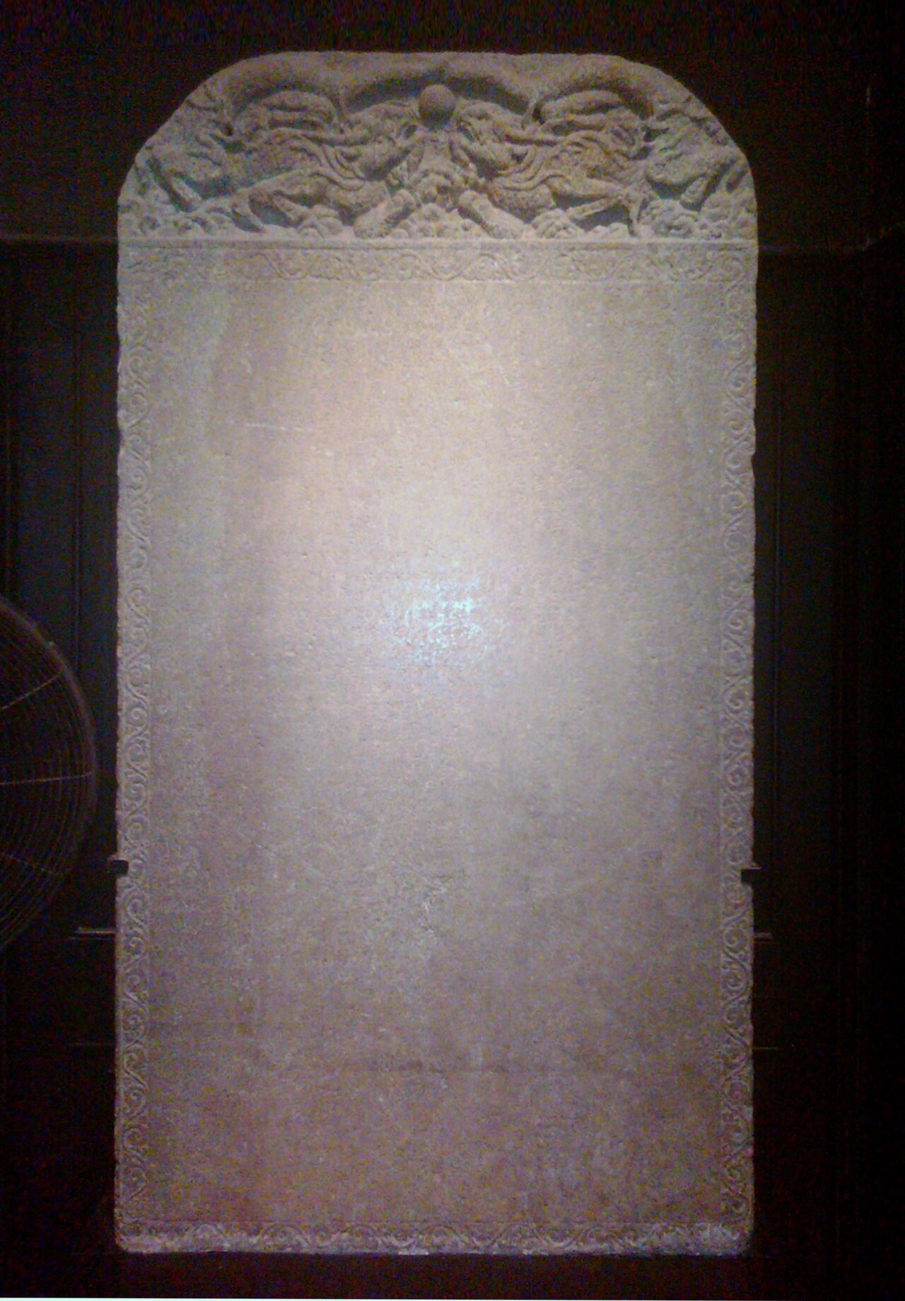 Artifact
Primary source
Galle Trilingual Stele
15 February 1409
 Book
Primary source
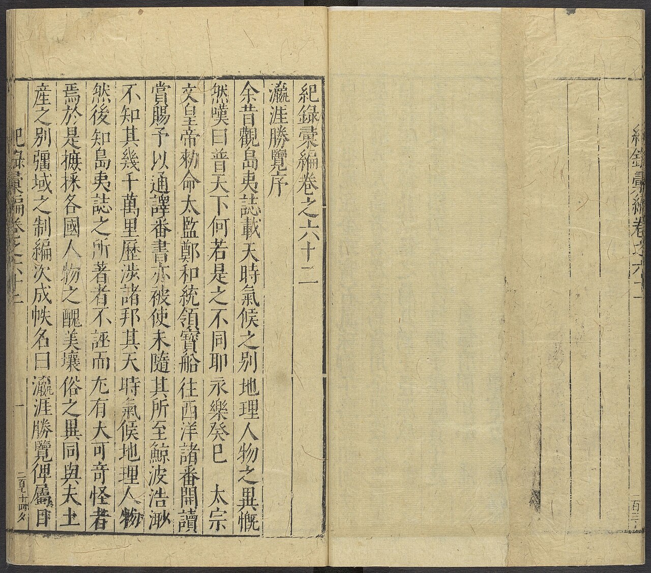
Ying Ya Sheng Lan
Ma Huan · written c. 1416, published 1451
 Document
Secondary source
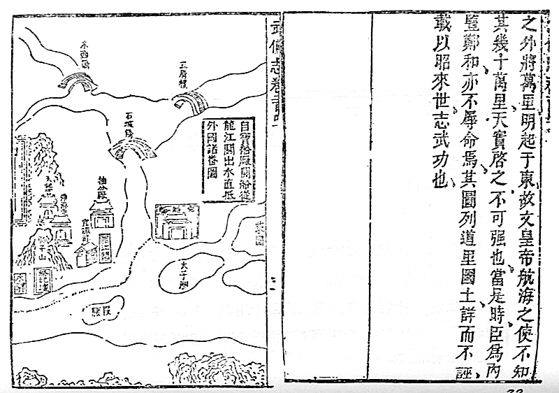
Mao Kun Map
Mao Yuanyi · 1621 (published 1628); believed based on earlier voyage charts
Primary source
Xingcha Shenglan
Fei Xin · 15th century
Free account
Browse every Zheng He source
Sign up free →
Ready when you are
Start chatting with Zheng He now.
20 messages free · No credit card · Available in 50+ languages.